Trail Overview
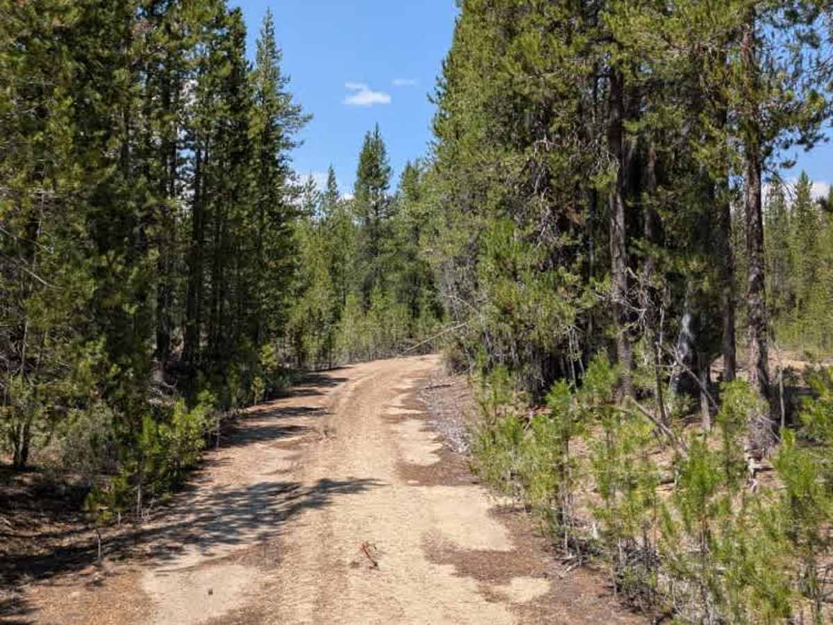
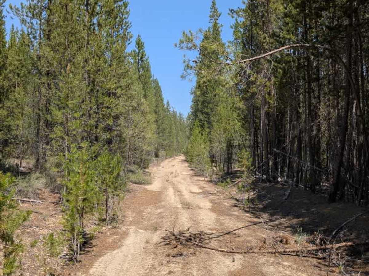
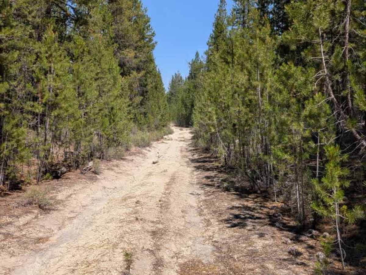
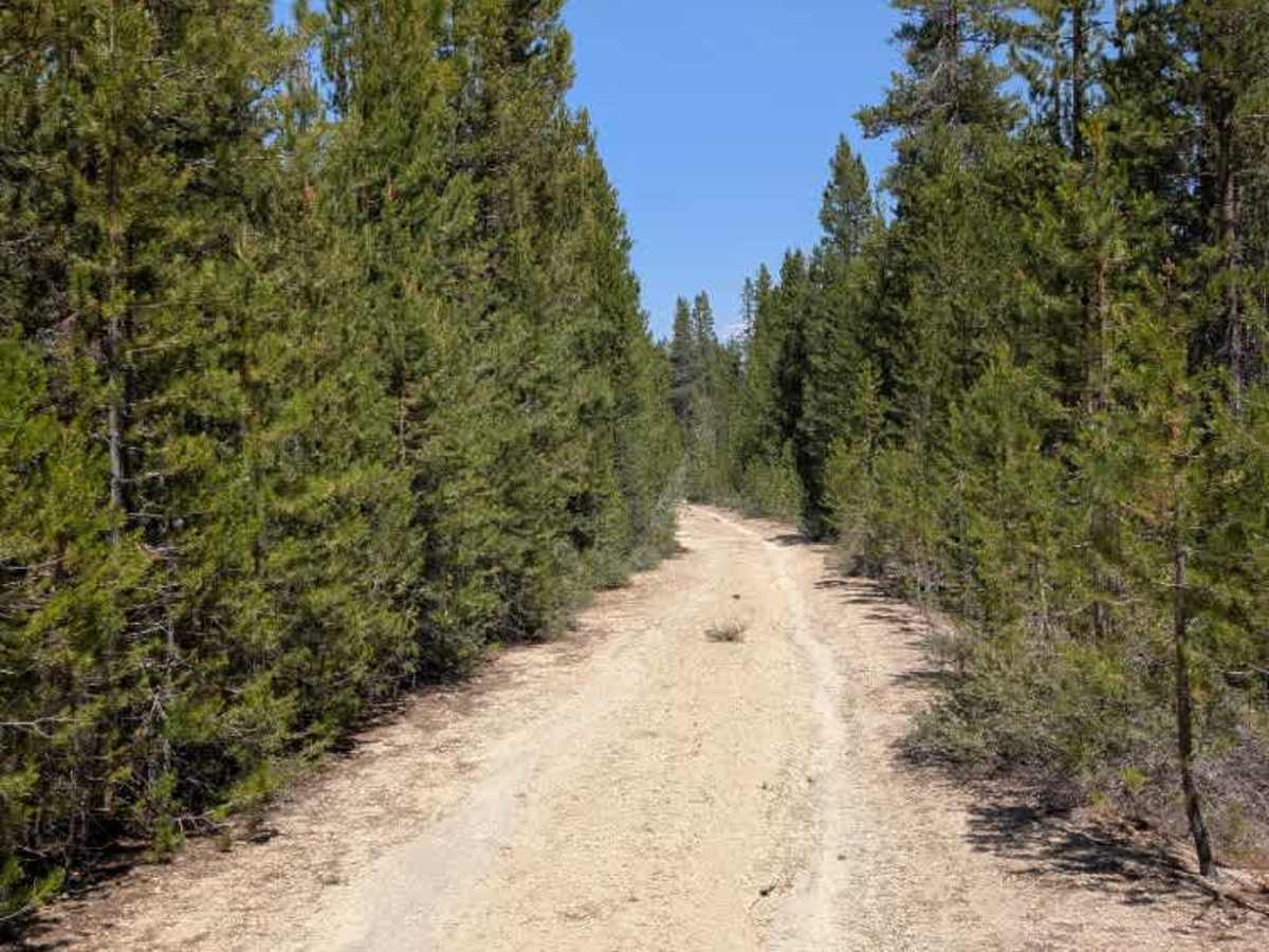
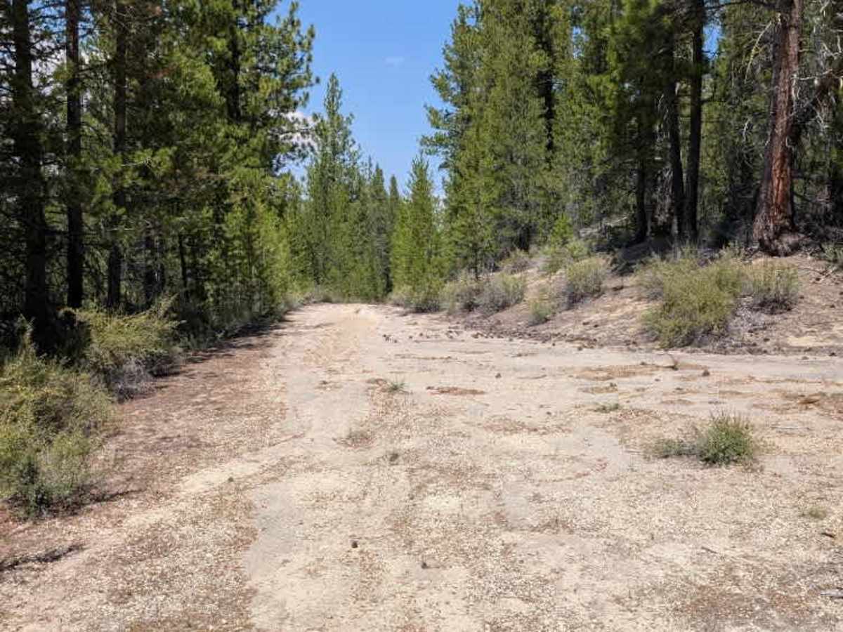
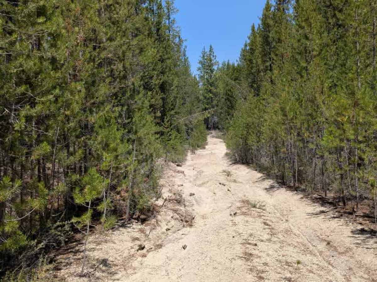
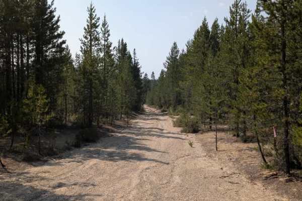
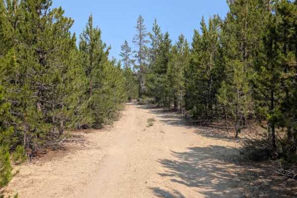
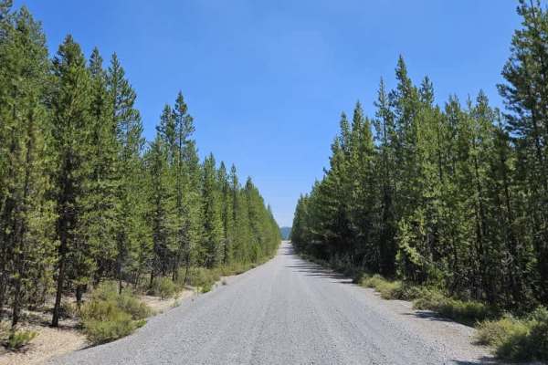
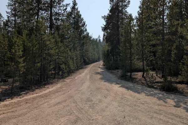
This trail is a sandy connector route with gentle climbs and descents through the surrounding forest. Rainfall has caused erosion in several areas, creating ruts and exposing loose rock along some sections of the trail. Fallen trees and minor obstacles are present but are generally manageable and easy to navigate around. Several nearby side trails have been blocked or are no longer accessible from this route. The trail provides a scenic connection between larger routes and offers an enjoyable drive through the forest. The southern portion of the trail is noticeably less traveled than the northern section. This area features tighter vegetation, overgrown sections, fallen trees, overhanging branches, bushes, and additional ruts. While still passable, it requires more attention and careful navigation compared to the northern portion. The northern half appears to be part of a commonly used loop, while the southern section feels much more remote.
Difficulty
Ruts, erosion damage, and tighter vegetation in the southern section create the main challenges on this trail.