Trail Overview
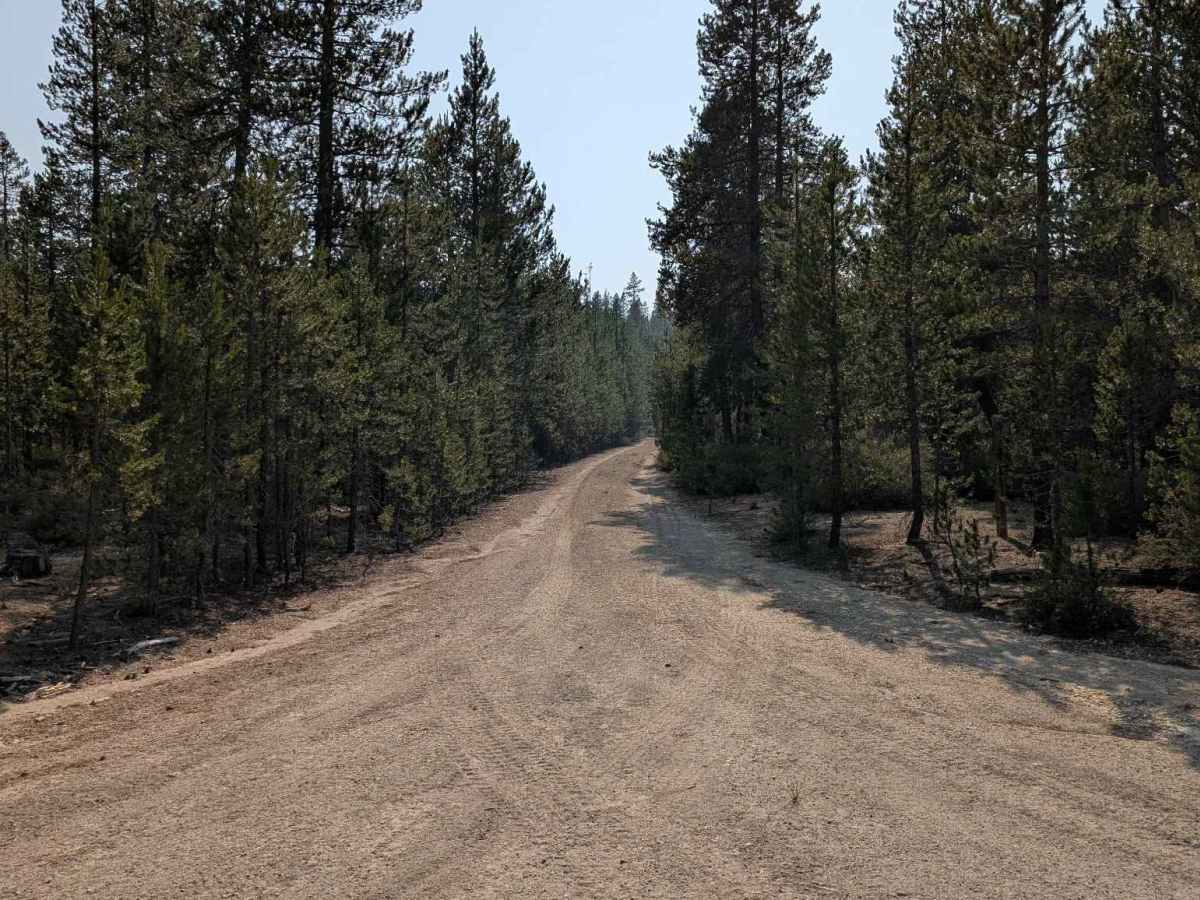
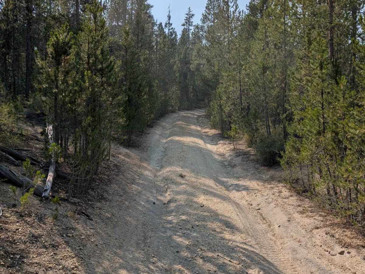
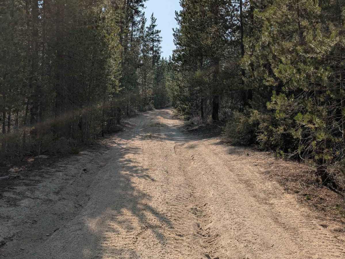
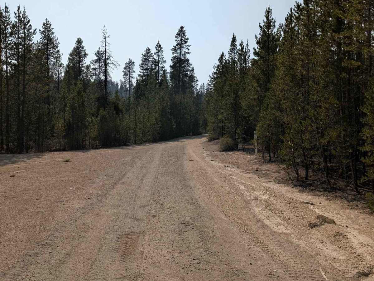
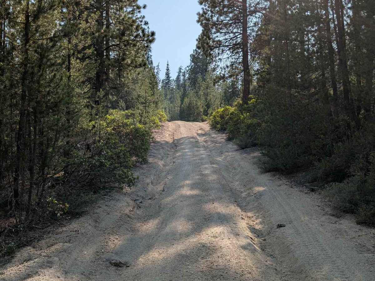
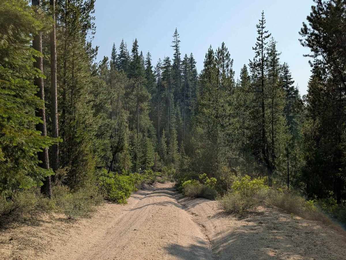
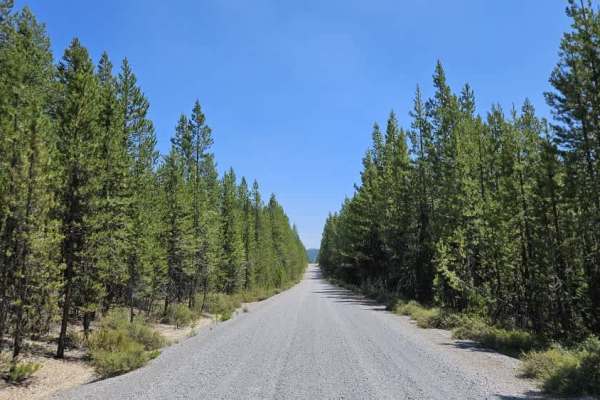
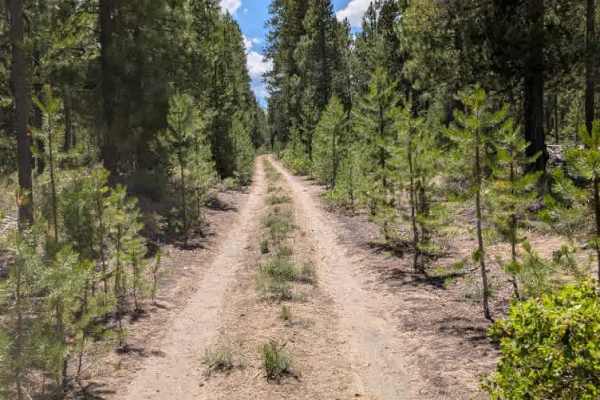
This is an unmaintained route that begins by connecting to another large, unmaintained road within a private-property area. There are no fences blocking the trail at the entrance, although several fences run alongside the road farther in. The route becomes fairly challenging, with deep ruts, steep inclines, loose sand, and sections of loose rock all appearing along the way. Some of the steeper and rougher sections may require low range, and airing down the tires could help with traction and comfort. After roughly five miles, the trail reaches several intersections where the road conditions improve. From there, it eventually connects with a graded, maintained road. Despite the rougher sections, this route is a useful connector between several surrounding trails and provides access to a larger network of roads. Overall, it is a more challenging trail that requires careful driving through the rougher sections. ATVs, UTVs, Side-by-Sides, and Dirt Bikes must always have a valid Oregon ATV Operating Permit sticker.