Trail Overview
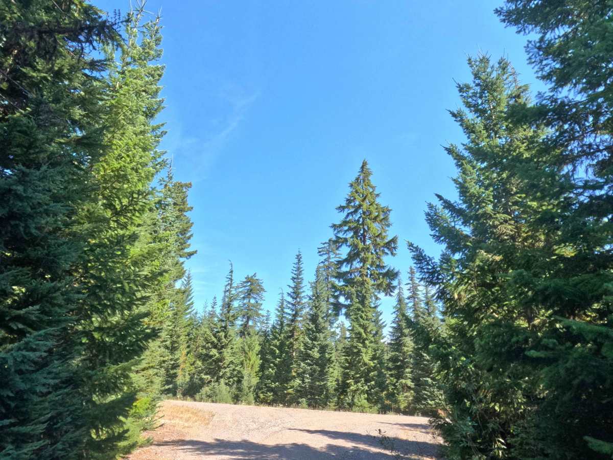
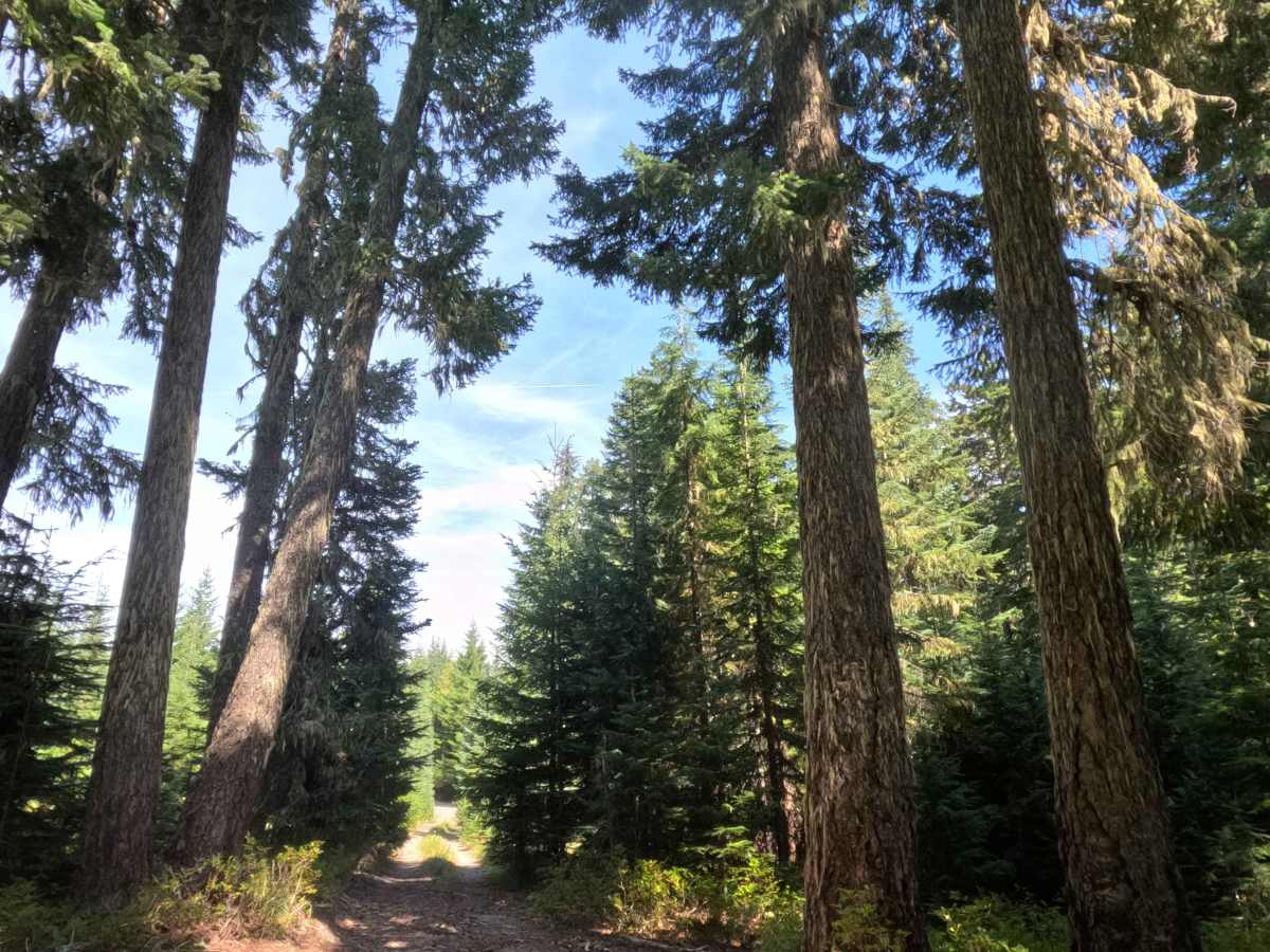
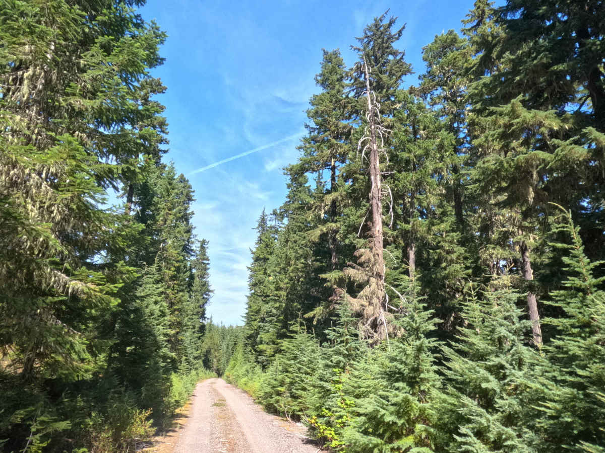
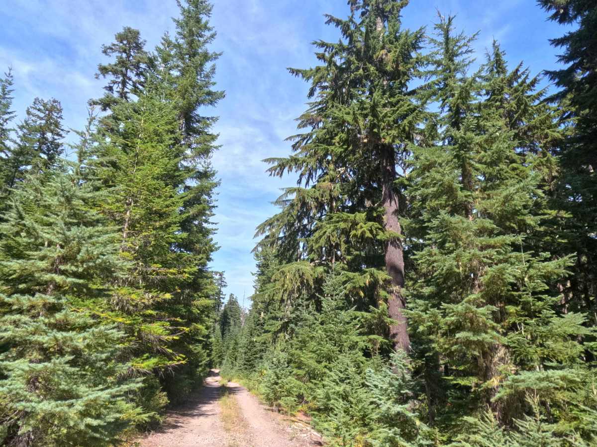
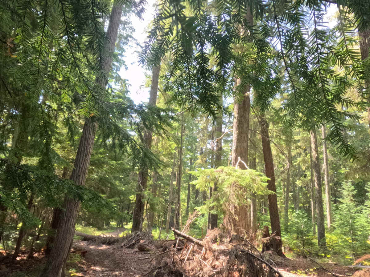
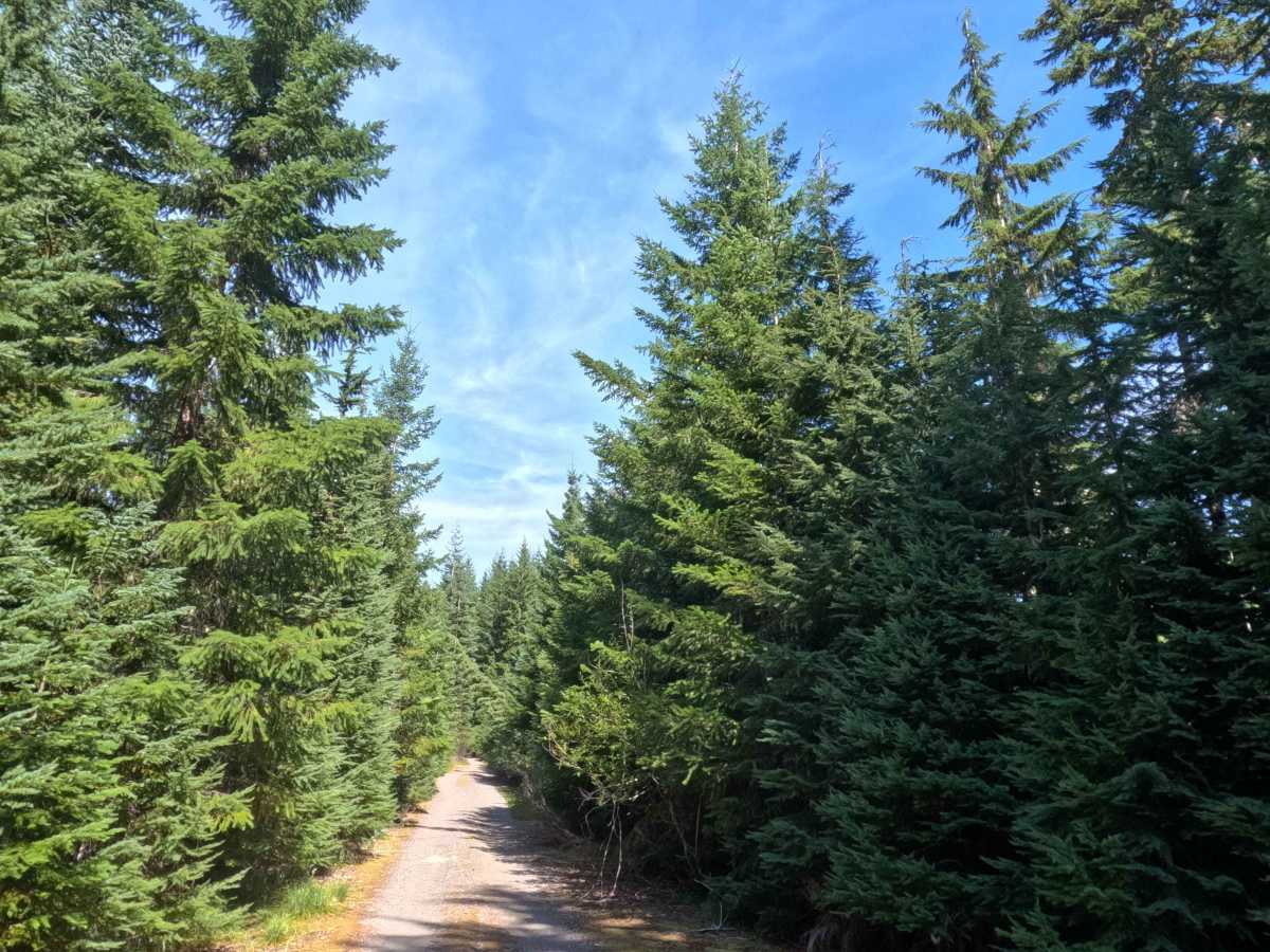
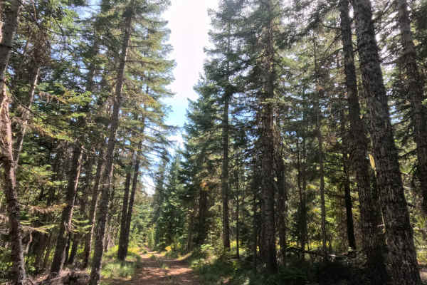
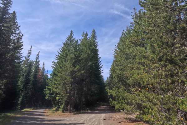
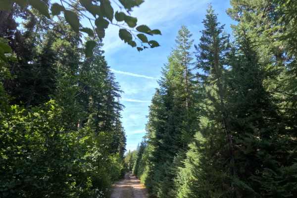
Serving as a handy link between FS 5860000 and FS 5800330, FS 5860240 is a gravel connector punching through the deep timber of the Mt. Hood National Forest. The track rolls under a heavy, old-growth canopy that keeps the roadbed shaded, passing through patches of thick cedar as it cuts across the landscape. Along the way, the lane crosses over the rocky bed of Dinger Creek—which typically runs dry by late summer—before meeting up with FS 5800330. While it functions primarily as a through-route, pushing just past that intersection leads to a sudden dead end blocked by a jumble of downed trees. From this abrupt turnaround, it serves as a solid jump-off point for a short hike through the remaining woods to reach the shores of Dinger Lake.
Difficulty
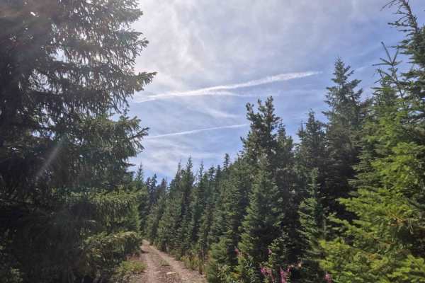
Earning a mild level 1 difficulty rating, this single-lane gravel track is a smooth, bump-free cruise from start to finish. Grades stay completely manageable, hovering under a 10% slope without any steep, sustained climbs or sudden dips to worry about. Ground clearance is a non-issue since the packed dirt and crushed rock surface stays free of ruts, boulders, or deep washouts. The corridor does run a little tight in spots, meaning drivers should expect some light, unavoidable brush grazing along the doors, but forward visibility remains solid all the way to the junction.