Trail Overview
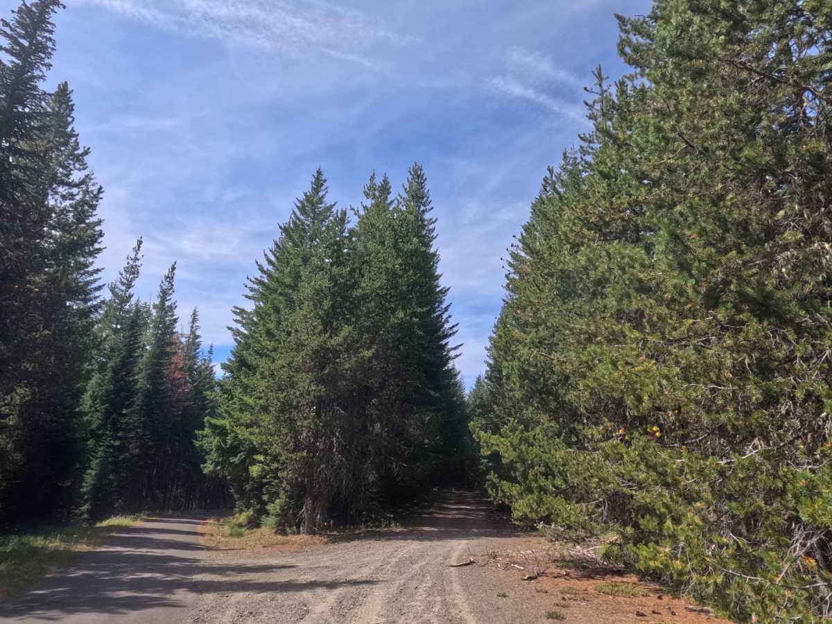
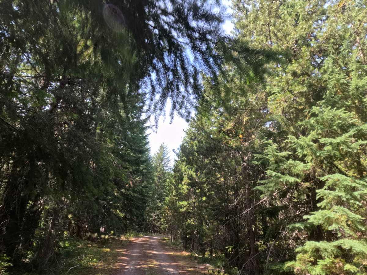
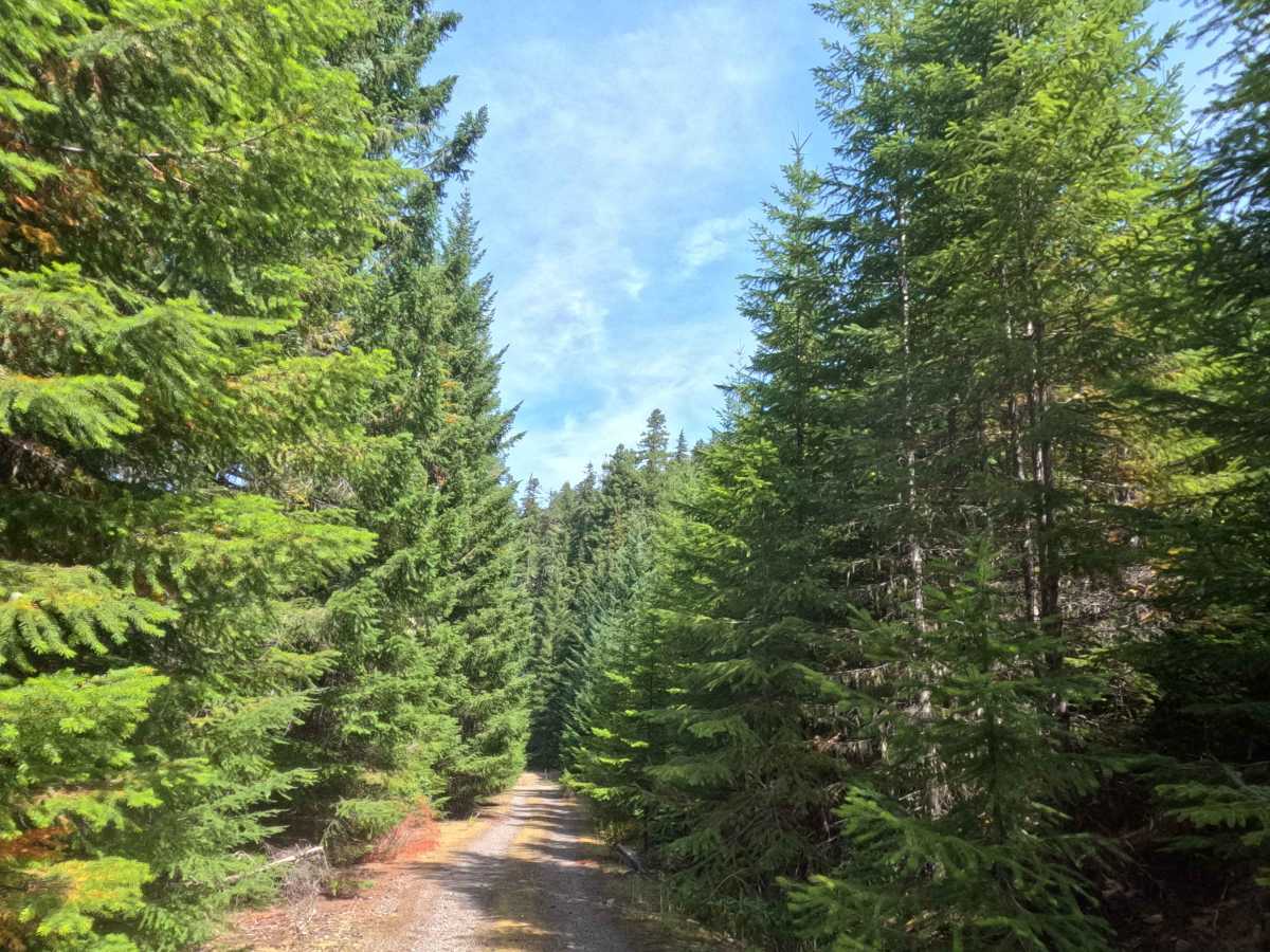
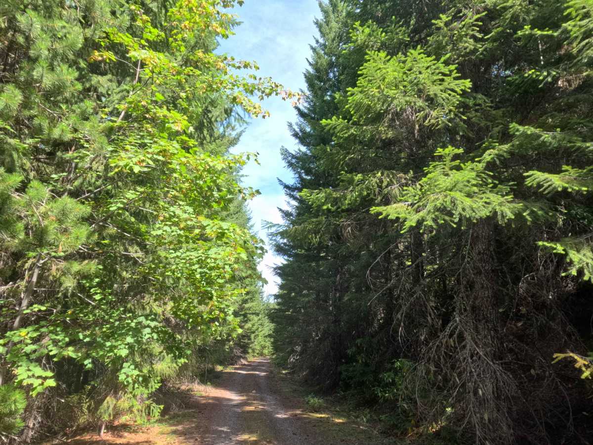
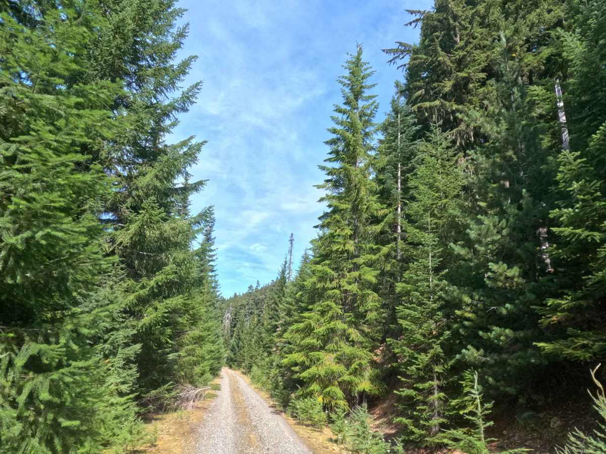
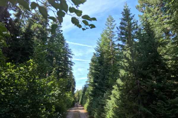
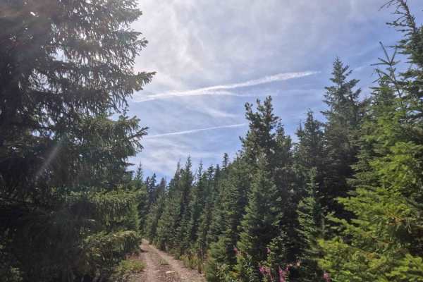
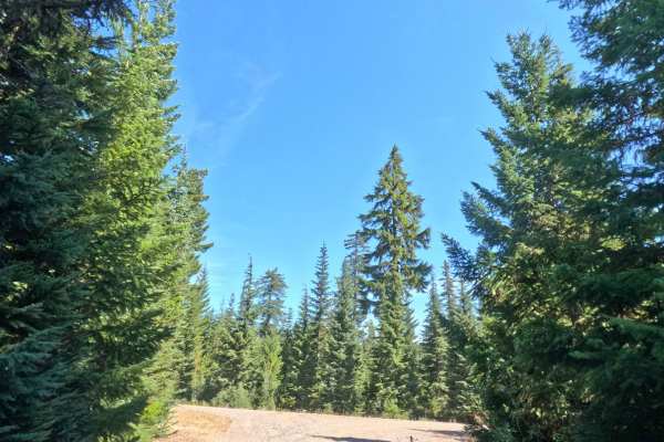
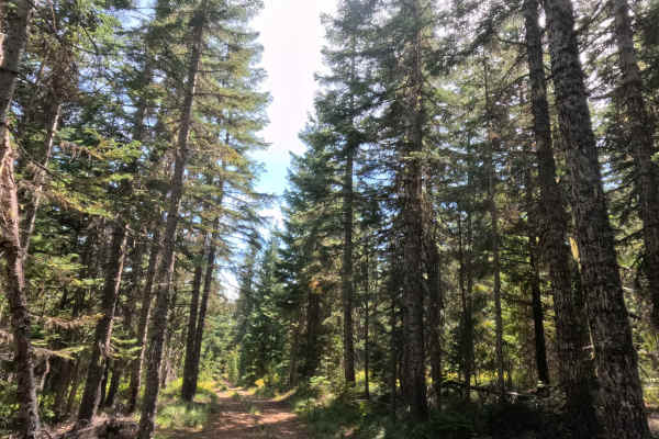
Peeling north off FS 58, FS 5850000 operates as a scenic out-and-back spur probing the deep timber of the Mt. Hood National Forest. Originally cut as a continuous bypass route that looped back to FS 58, an intentional earthen tank trap now blocks through-traffic, transforming the corridor into a quiet dead-end track. The single-lane gravel route carves through a heavy, vibrant canopy of towering evergreens and thick roadside brush, eventually opening up at a prime dispersed campsite. Outdoor recreationists favor this specific clearing because it rewards campers with sweeping, unobstructed panoramic views down into the sprawling Linney Creek valley below.
Difficulty
Earning a level 1 rating, this path delivers a remarkably smooth and effortless forest drive. The solid crushed-gravel and packed-dirt roadbed maintains a consistent, gentle grade of around 5% from start to finish, completely free of technical obstacles, deep washouts, or rocky steps. While encroaching vegetation might lightly brush vehicle flanks in a few of the narrower, shaded pockets, the trail generally remains wide enough for stress-free travel. Undercarriage clearance is never a concern on this well-graded surface, and the campsite clearing near the closure point provides a convenient footprint to pivot easily before heading back out to the main road.