Trail Overview
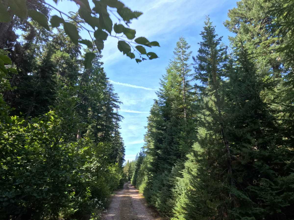
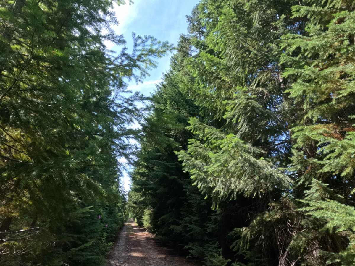
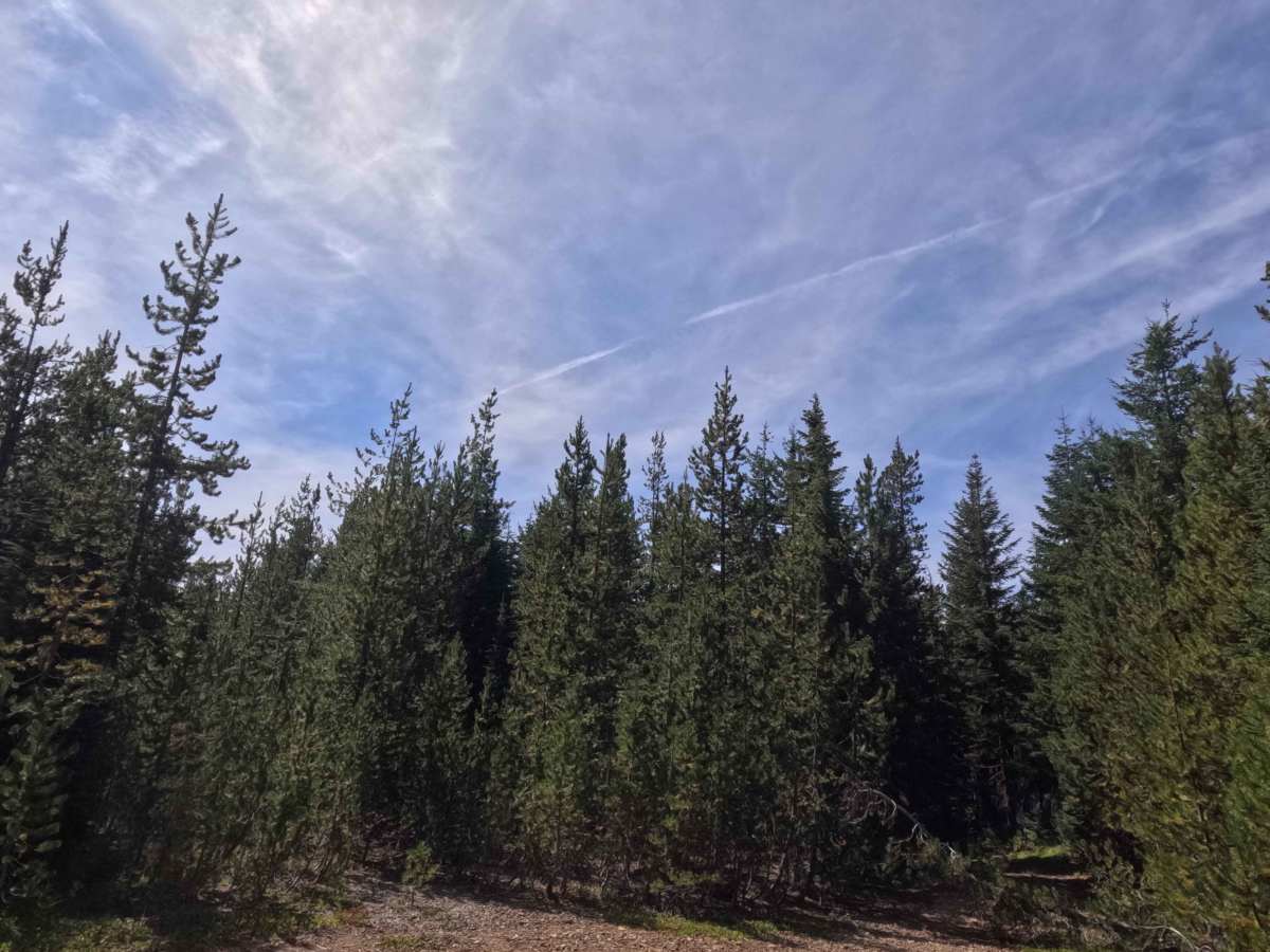
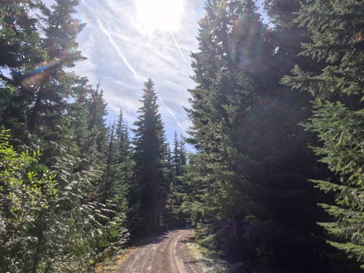
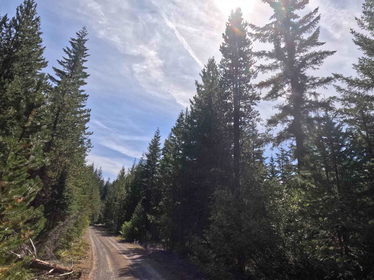
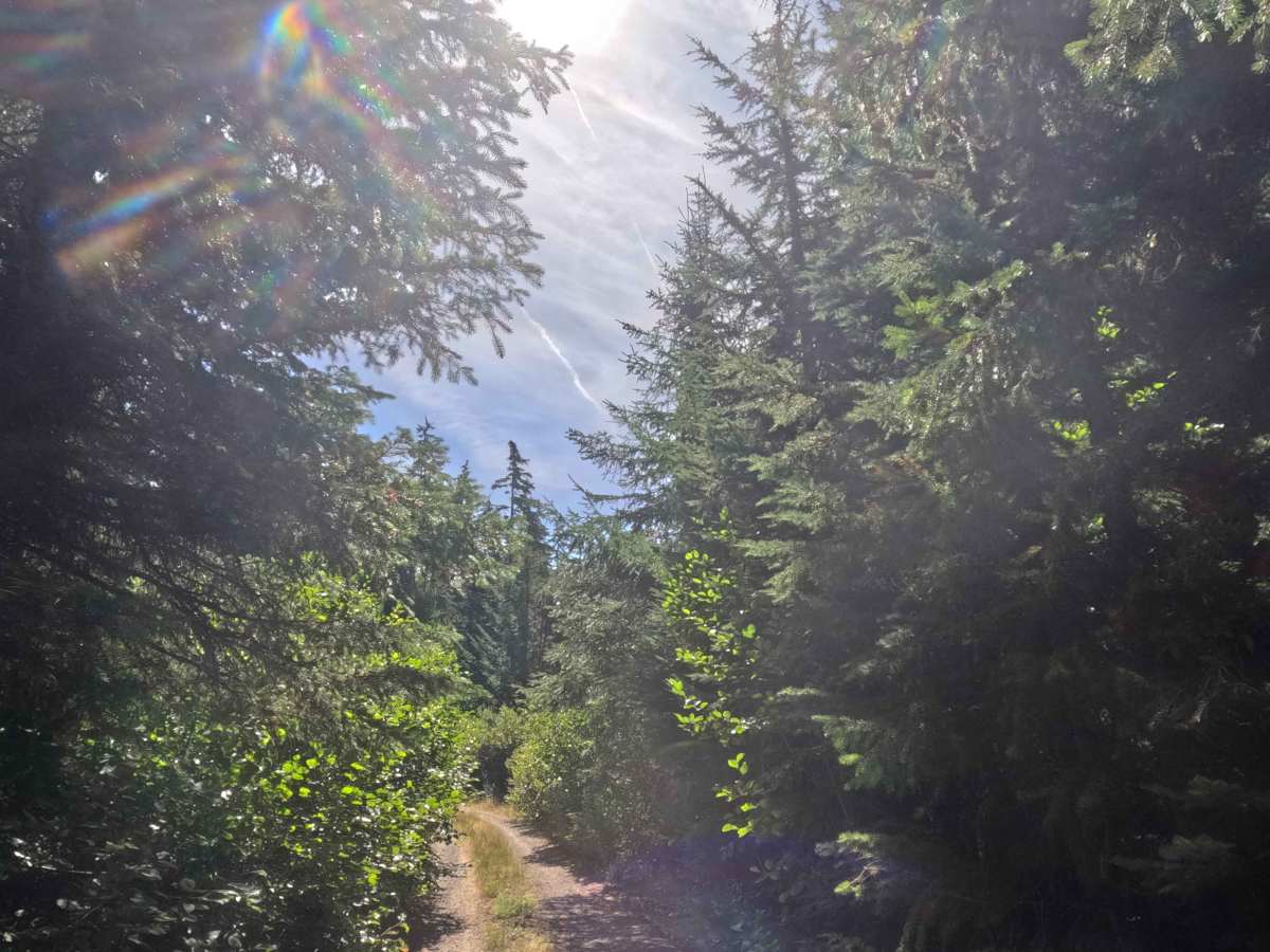
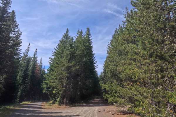
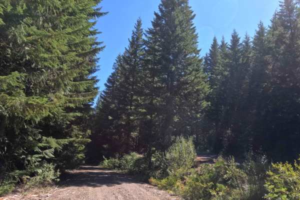
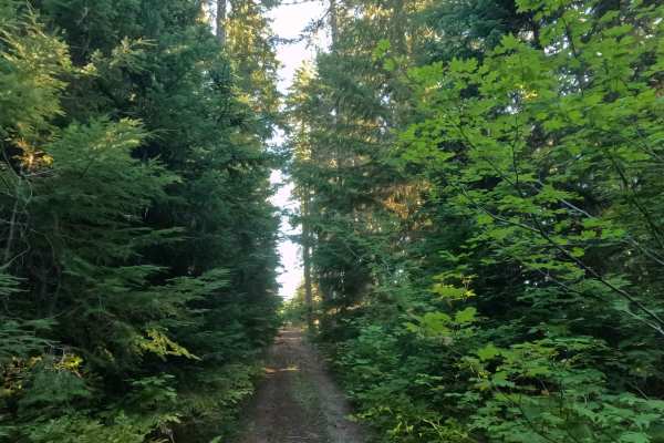
Splitting east from FS 58 before bending south, FS 5800160 serves as a serene out-and-back spur exploring the dense backcountry of the Mt. Hood National Forest. The corridor navigates through a thriving, lush evergreen environment, enveloped by towering conifers and thick woodland understory. Consisting of a narrow, single-track gravel and dirt surface, this route holds an easy difficulty rating of 1. Outdoor enthusiasts travel this quiet track primarily to reach the Anvil Lake hiking trailhead or to secure a secluded dispersed campsite tucked within the trees. The main route terminates abruptly where a live tree grows directly across the path, opening up into a spacious clearing. This dead-end provides plenty of room to turn around or detour onto the brief FS 5800030, which rewards visitors with a historic rock quarry, an additional campsite, and scenic views overlooking Timothy Lake.
Difficulty
Earning a level 1 difficulty rating, this well-maintained forest lane provides a smooth and effortless drive free of technical obstacles. The crushed gravel and dirt roadbed is highly predictable, featuring gentle grade variations that remain under 10% throughout the entire journey. Because the lane is a true single-track, travelers will encounter light but consistent foliage contact from the encroaching brush brushing along the vehicle's flanks. However, the solid surface ensures dependable traction, making it an inviting run suitable for all vehicle types under normal dry conditions. Upon reaching the live tree barricade at the trail's end, a large open clearing allows for easy, stress-free turnarounds.