FS 5830400

Total Miles1
Technical Rating
1Easy
Best TimeSummer, Spring, Fall
Trail TypeFull-Width Road
Accessible By
Open Trail Map

Trail Overview

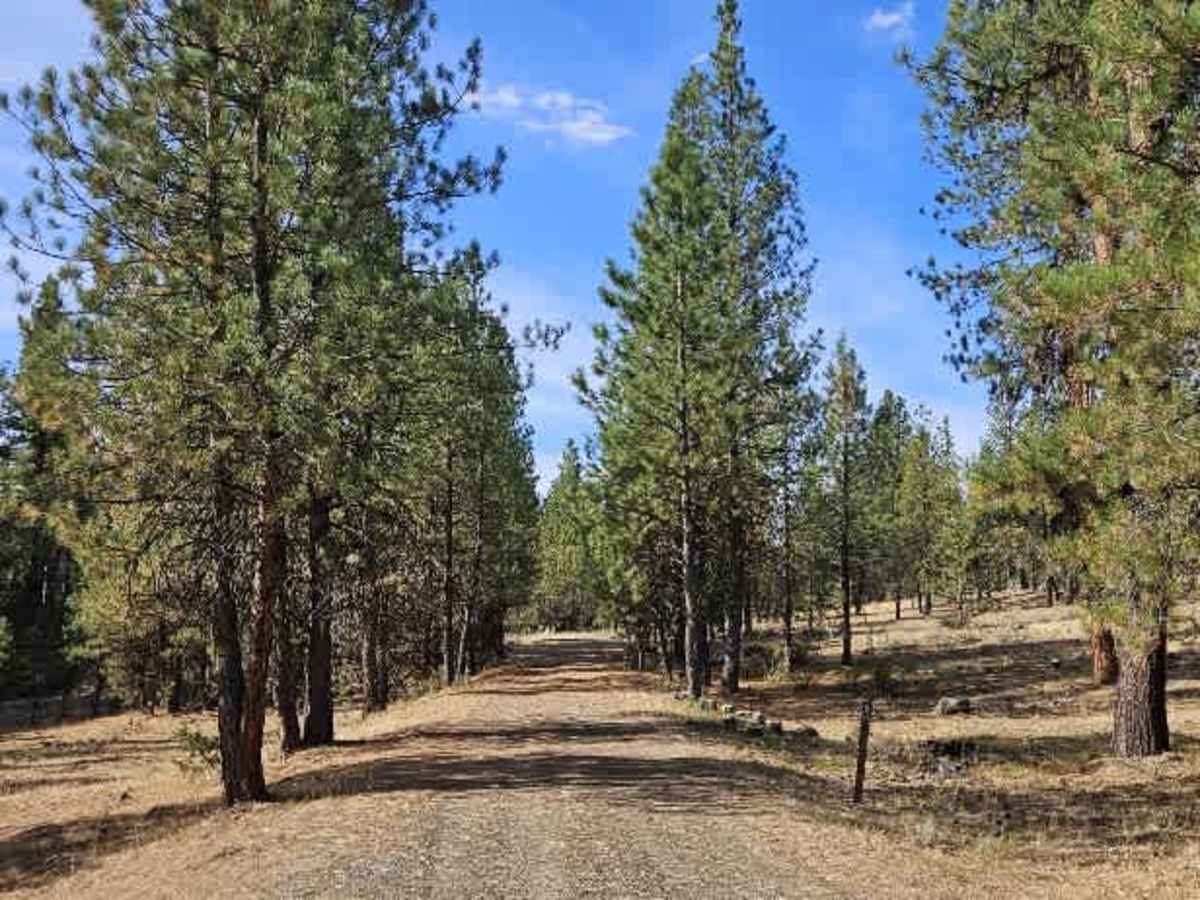
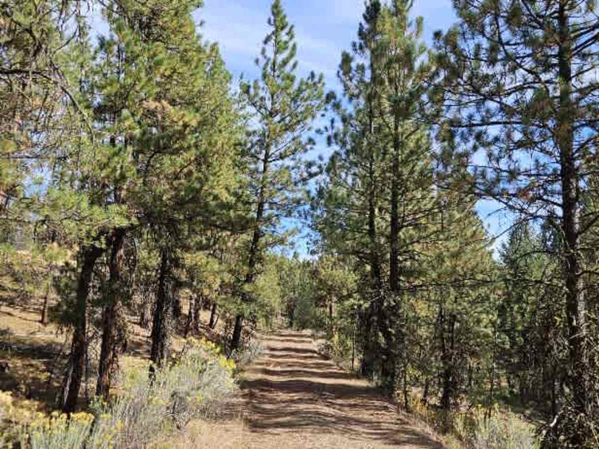
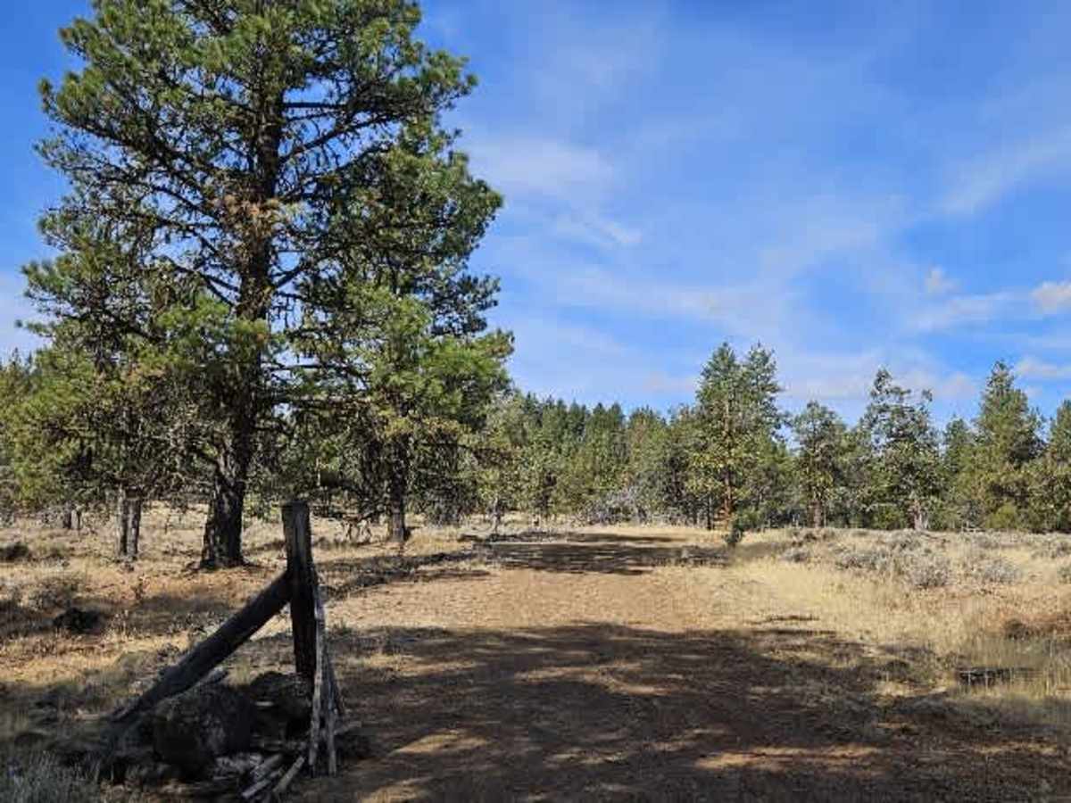
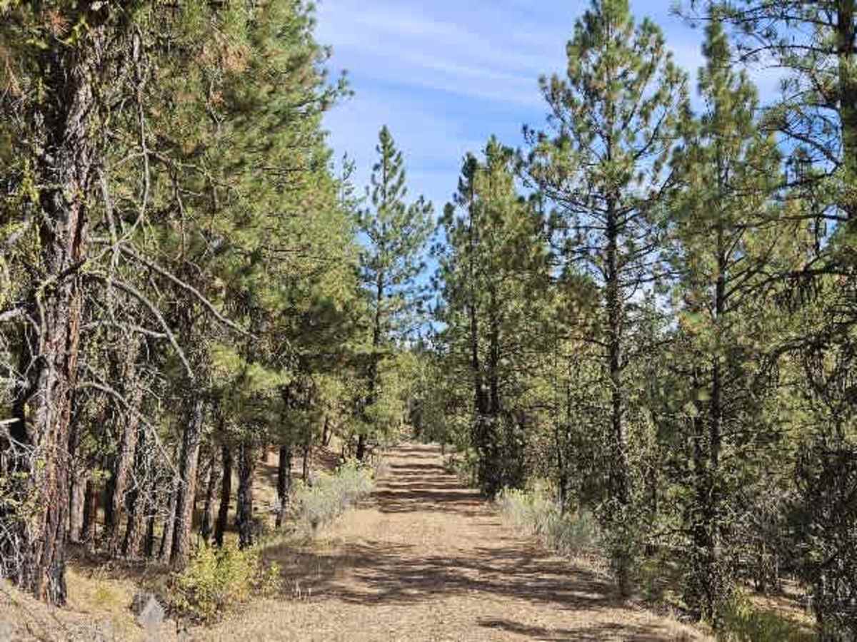
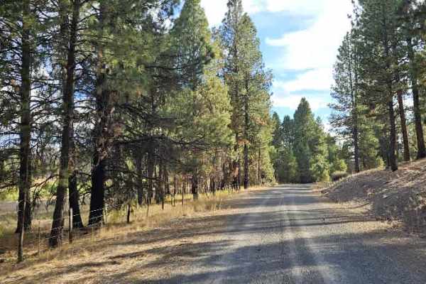
This is a user-maintained route that climbs into the hills before dropping into a small valley. The road is quite rocky throughout, with plenty of rocks underneath the vehicle, so take care to protect your undercarriage and choose your line carefully. Despite the rough surface, the route is manageable with a capable vehicle. The trail passes a popular creek, and several areas along the route may be suitable for camping. A cattle guard marks the end of the trail, and motorized travel should stop there rather than continuing beyond it. Conditions and access may change, so check for current Forest Service closures or restrictions before traveling. ATVs, UTVs, Side-by-Sides, and Dirt Bikes must always have a valid Oregon ATV Operating Permit sticker.

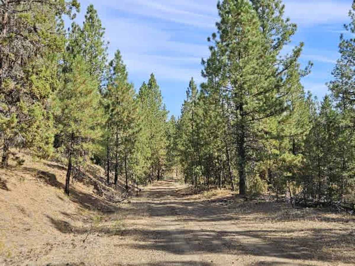
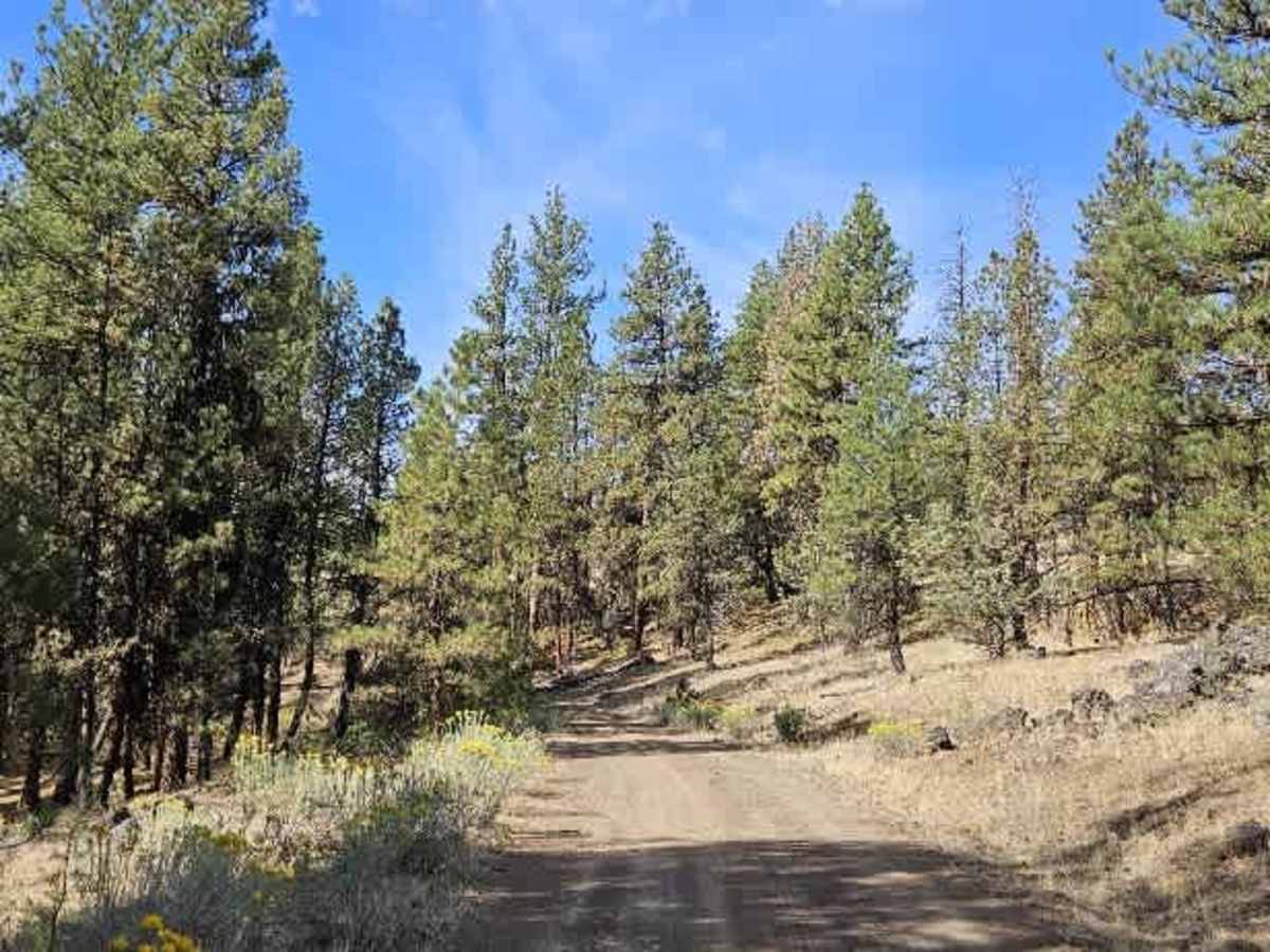
Photos of FS 5830400

Difficulty

The rocky surface and exposed rocks underneath the vehicle create moderate difficulty and require careful line selection.

Technical Rating

1

FS 5830400 Trail can be accessed by the following ride types:

  • Single Track
  • 50 Inch
  • 60 Inch
  • High Clearance
  • Full Width

FS 5830400 Map

The onX Offroad Difference

onX Offroad combines trail photos, descriptions, difficulty ratings, width restrictions, seasonality, and more in a user-friendly interface. Available on all devices, with offline access and full compatibility with CarPlay and Android Auto. Discover what you're missing today!

Open Trail Map