FS 5830000

Total Miles6.6
Technical Rating
1Easy
Best TimeSpring, Summer, Fall
Trail TypeFull-Width Road
Accessible By
Open Trail Map

Trail Overview

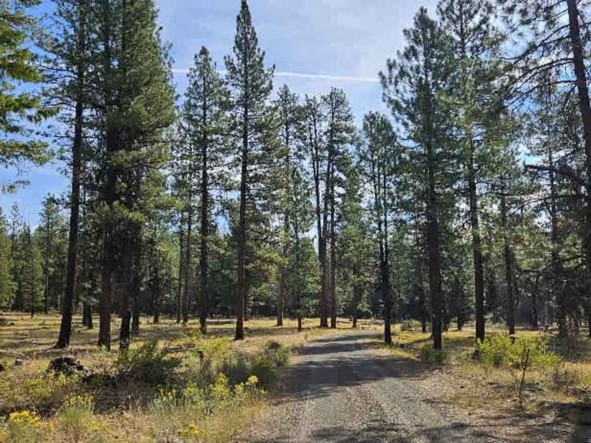
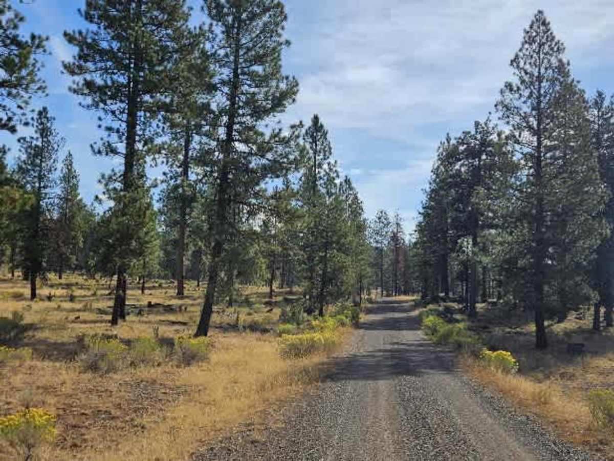
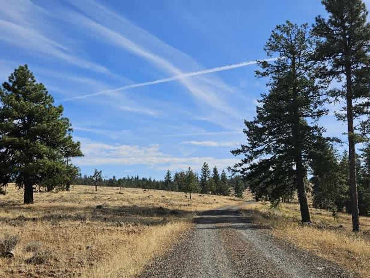
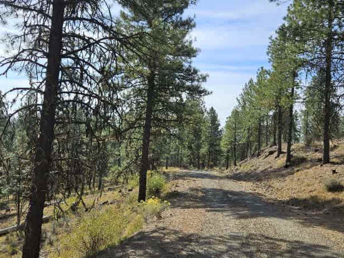
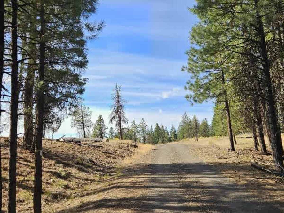
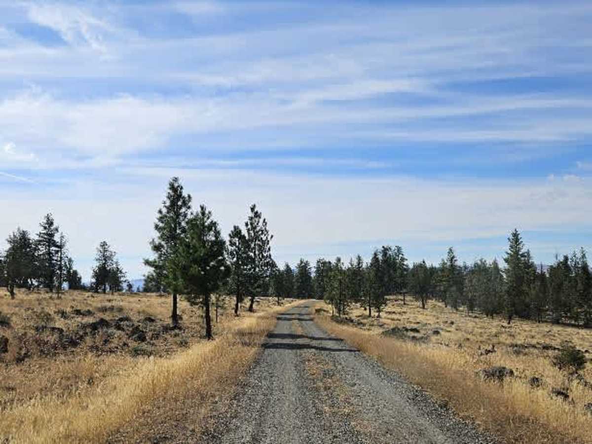
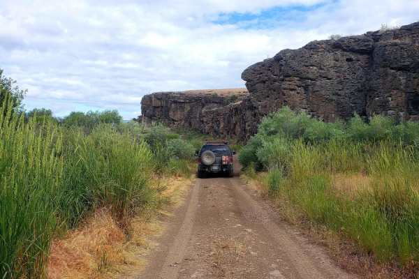
This well-maintained connecting trail links two larger arterial routes. It starts near the top of a hill, climbs gradually, descends into a valley, and continues through a beautiful, open forest. The road is generally in very good condition and becomes smoother as you continue down the hill toward FS 5840. The route is curvy, with several blind corners and some corrugation, particularly around the bends. If you’re traveling downhill, take extra care and keep your speed under control, as the combination of curves and corrugations can make the road feel less predictable. A couple of spots along the trail appear suitable for camping, but be sure to confirm that dispersed camping is permitted before setting up. ATVs, UTVs, Side-by-Sides, and Dirt Bikes must always have a valid Oregon ATV Operating Permit sticker.

Photos of FS 5830000

Difficulty

Corrugation and blind corners create mild difficulty, particularly when traveling downhill.

Technical Rating

1

FS 5830000 Trail can be accessed by the following ride types:

  • Single Track
  • 50 Inch
  • 60 Inch
  • High Clearance
  • Full Width

FS 5830000 Map

The onX Offroad Difference

onX Offroad combines trail photos, descriptions, difficulty ratings, width restrictions, seasonality, and more in a user-friendly interface. Available on all devices, with offline access and full compatibility with CarPlay and Android Auto. Discover what you're missing today!

Open Trail Map