Trail Overview
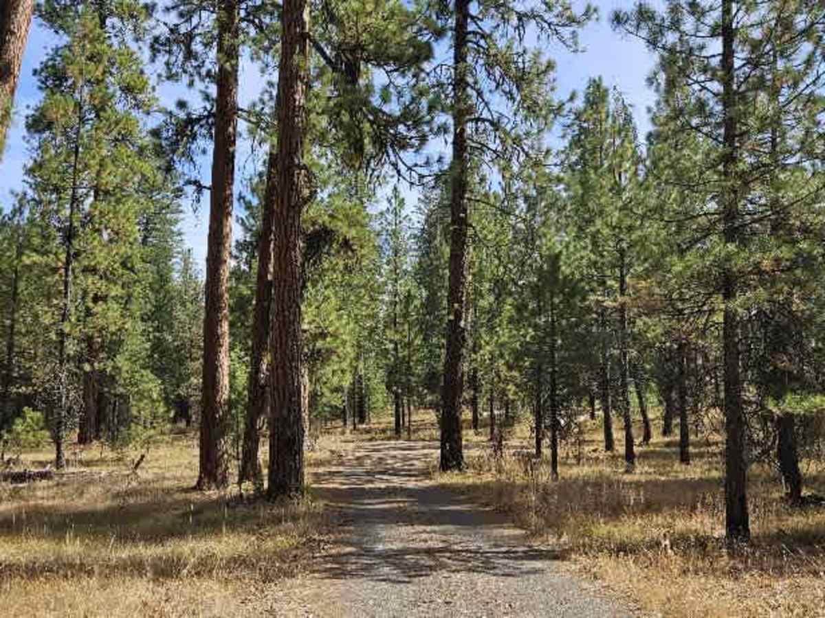
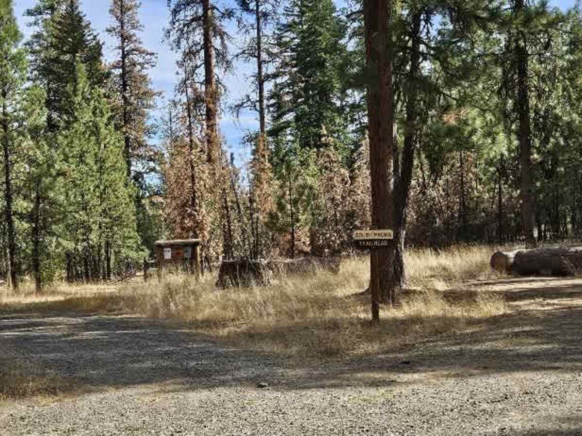
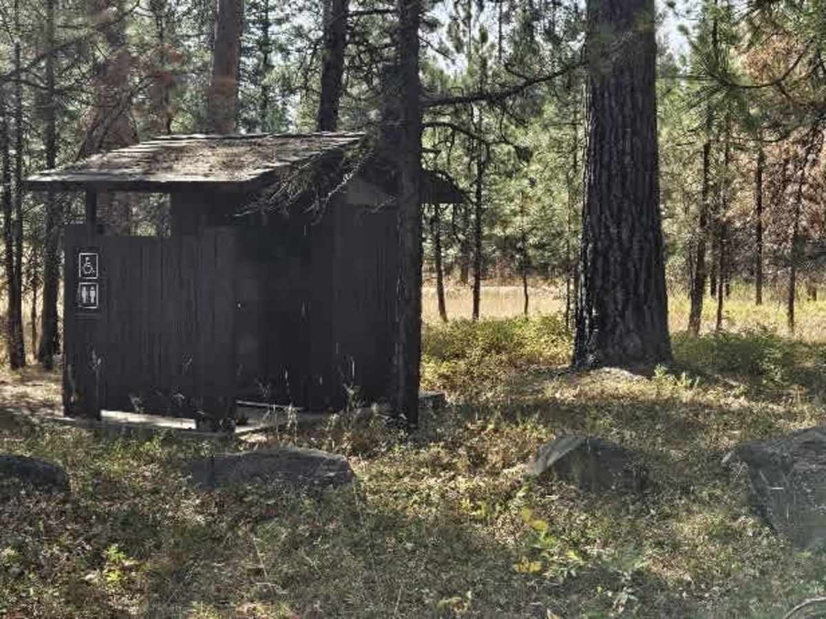
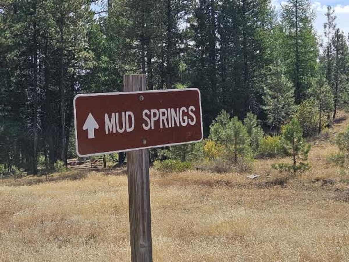
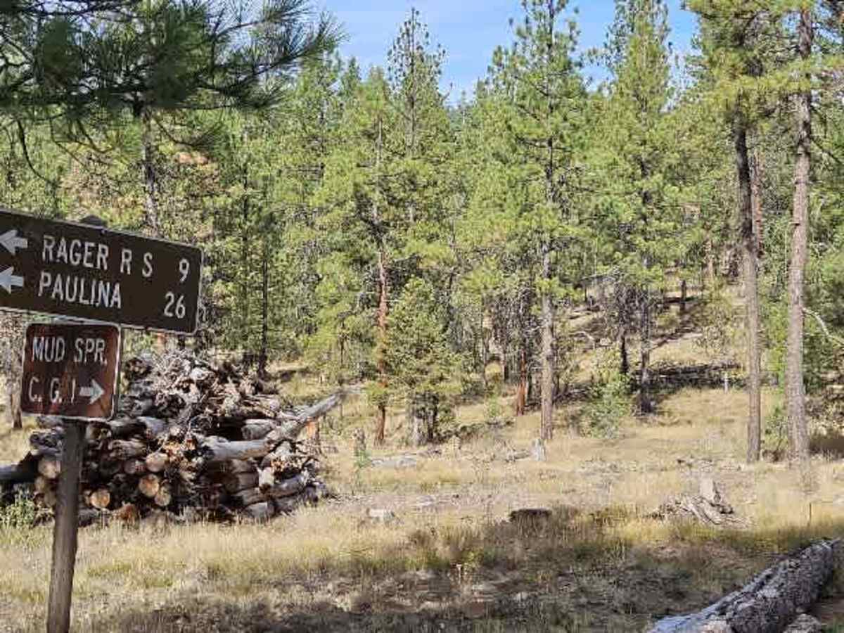
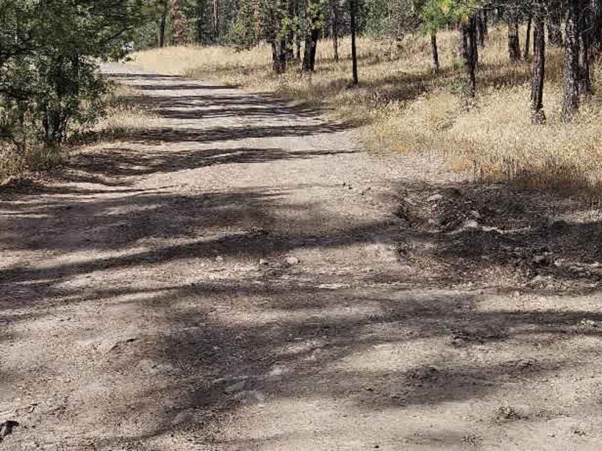
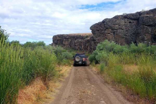
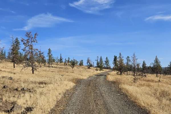
This road is rough and unmaintained, although campers clearly still use it to access the area. One particularly difficult section has a deep mud pit with three consecutive holes or ditches. Take care through this section, especially after wet weather, as the terrain could become significantly more challenging. The route continues toward the campground and the South Prong Trailhead, where public restrooms are available. Farther along, there is a campground with several campsites and a campground restroom. The road toward the reservoir is closed to motorized vehicles, so only foot access is available beyond the closure. Overall, expect a rough, unmaintained road with one notable muddy and deeply rutted section. The campground and trailhead provide useful stopping points, but respect the road closure and do not attempt to drive beyond the gate. ATVs, UTVs, Side-by-Sides, and Dirt Bikes must always have a valid Oregon ATV Operating Permit sticker.
Difficulty
Overall, expect a rough, unmaintained road with one notable muddy and deeply rutted section along this trail.