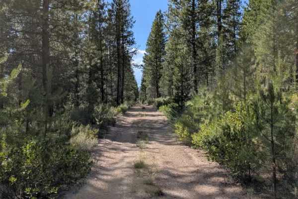
FS 5811810

Total Miles1.2
Technical Rating
1Easy
Best TimeSpring, Summer, Fall
Trail TypeFull-Width Road
Accessible By
Open Trail Map

Trail Overview

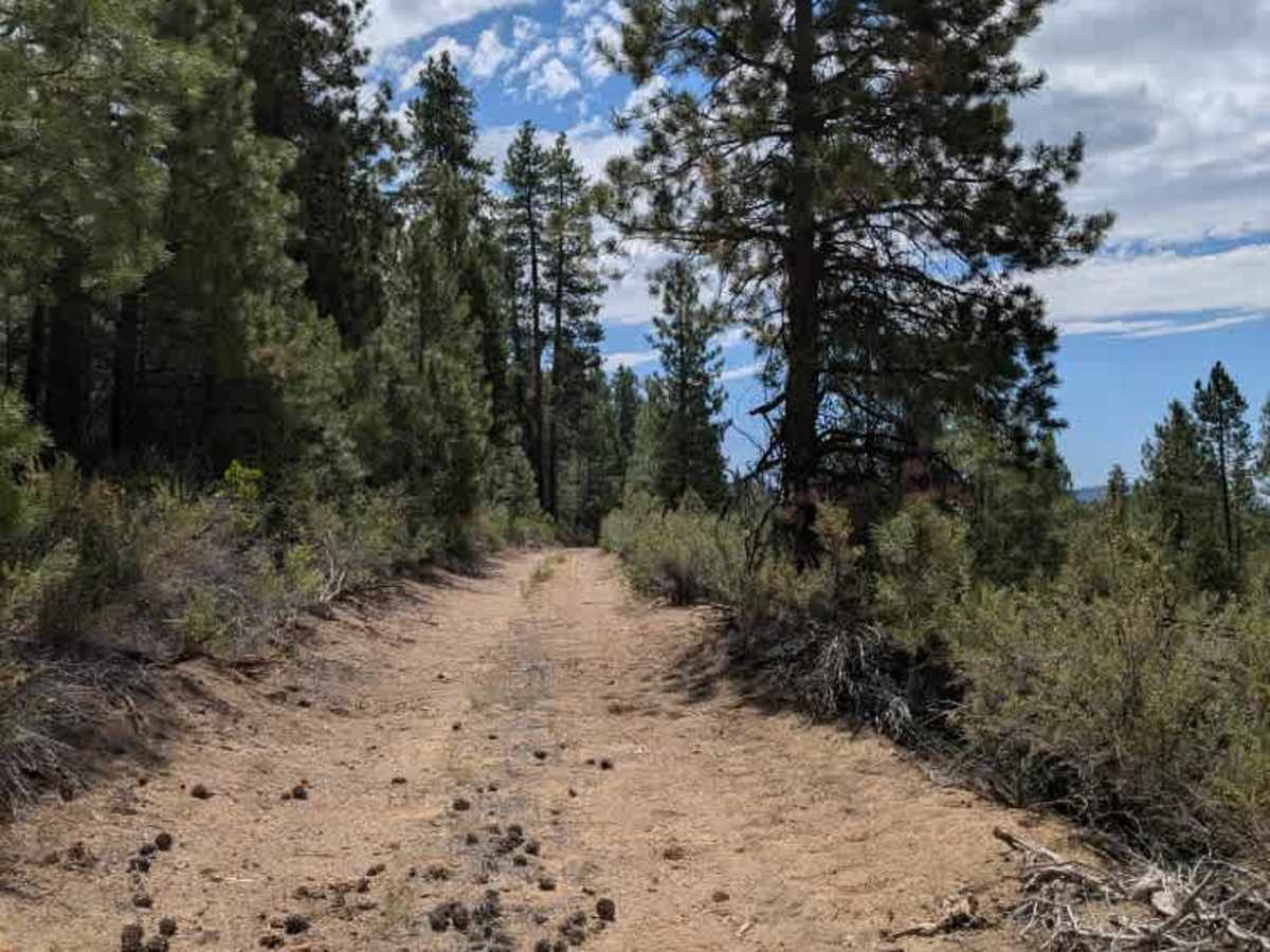
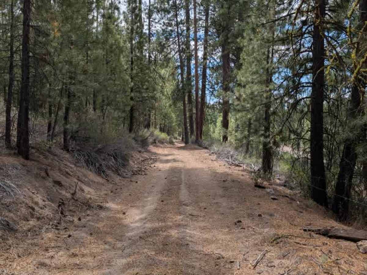
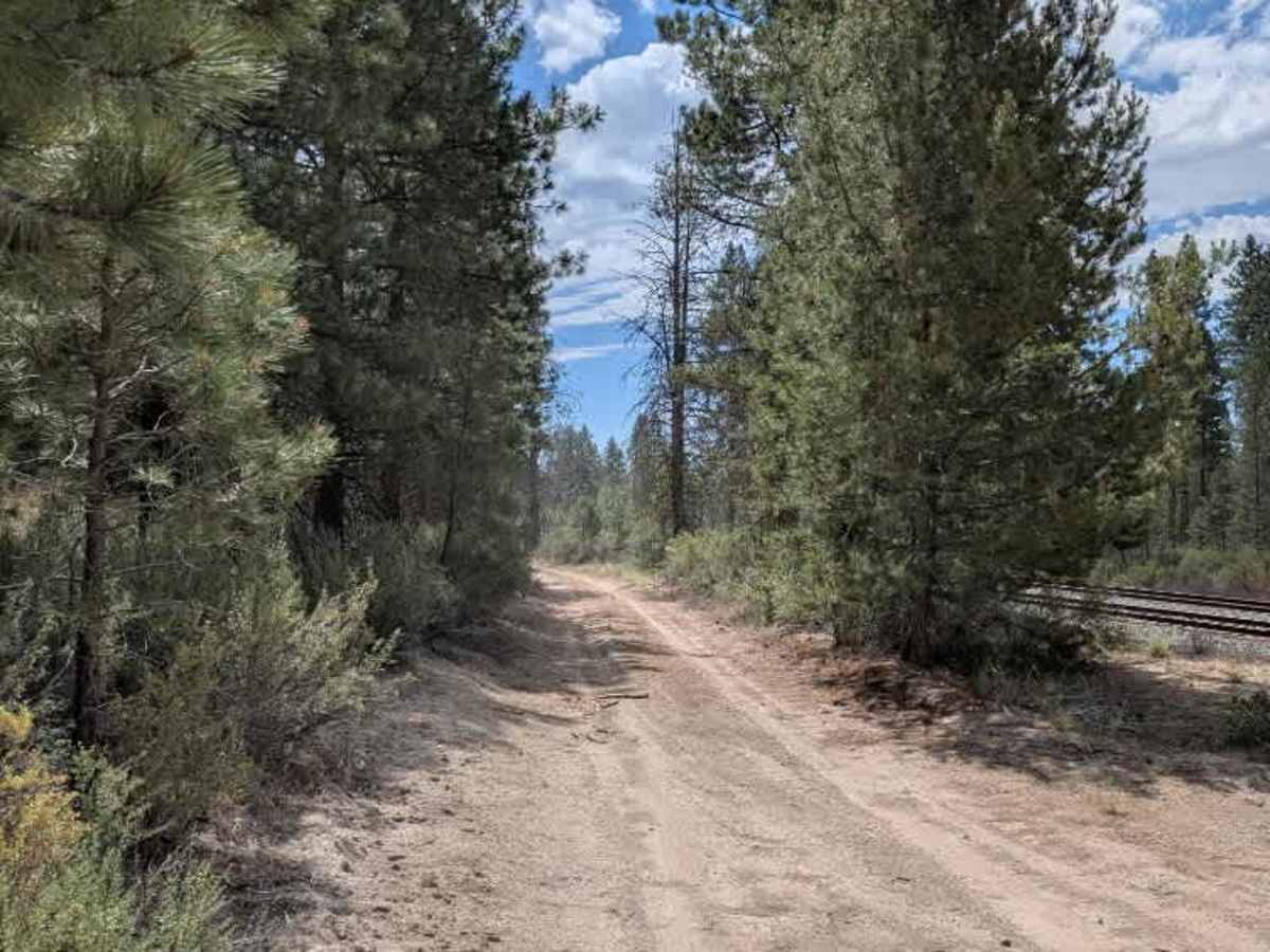
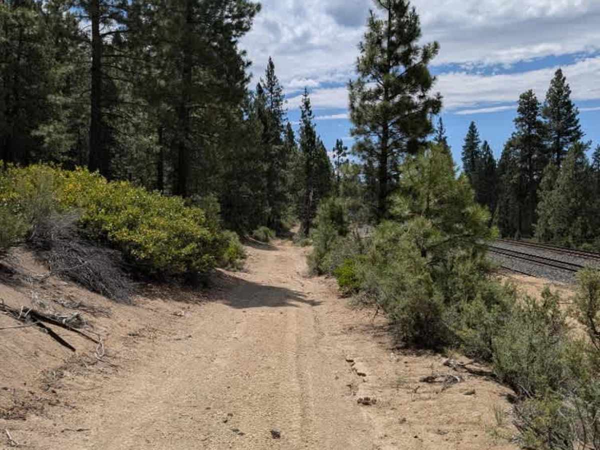
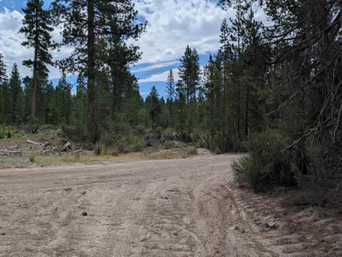
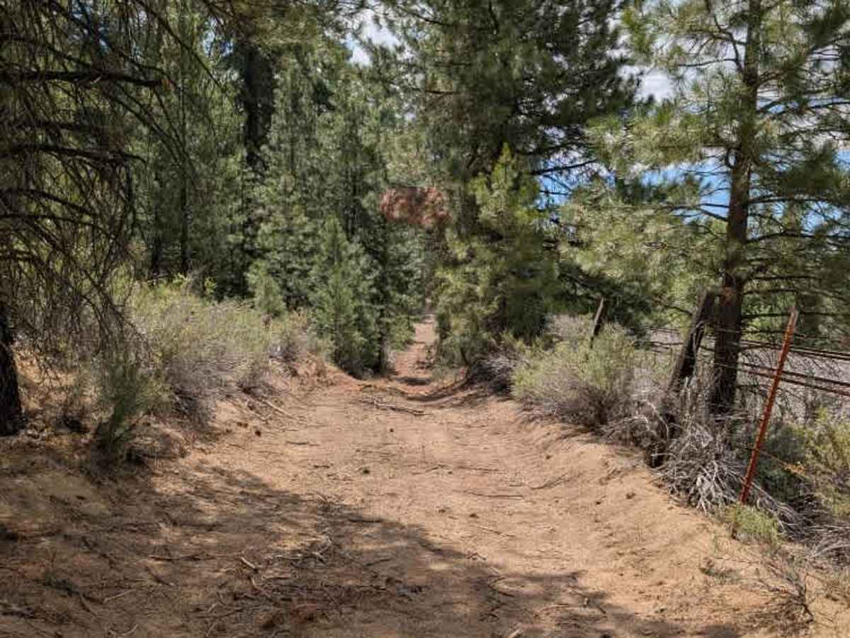
This trail is a railway access road that closely follows the rail line for much of its length. The route is well traveled and generally easy to navigate, with a firm driving surface that has seen regular vehicle use. There are only minor inclines and gentle descents throughout the trail, and there are no significant ruts or major obstacles to contend with. While the road itself is fairly uneventful, it provides a useful connection alongside the railway and offers an easy drive for most capable vehicles. Drivers should remain aware of railway operations and any maintenance traffic that may be using the access road. ATVs, UTVs, Side-by-Sides, and Dirt Bikes must always have a valid Oregon ATV Operating Permit sticker.

Photos of FS 5811810

Difficulty

Overall, this is a straightforward route with a light difficulty, mainly due to the sandy surface rather than any particularly technical obstacles.

Technical Rating

1

FS 5811810 Trail can be accessed by the following ride types:

  • Single Track
  • 50 Inch
  • 60 Inch
  • High Clearance
  • Full Width

FS 5811810 Map

The onX Offroad Difference

onX Offroad combines trail photos, descriptions, difficulty ratings, width restrictions, seasonality, and more in a user-friendly interface. Available on all devices, with offline access and full compatibility with CarPlay and Android Auto. Discover what you're missing today!

Open Trail Map