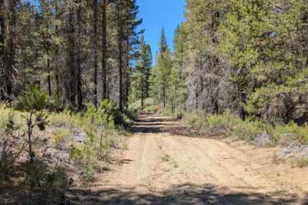
Trail Overview
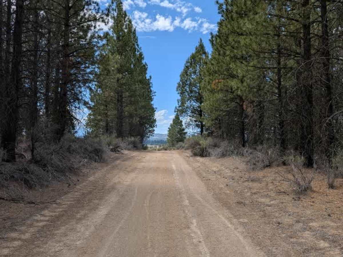
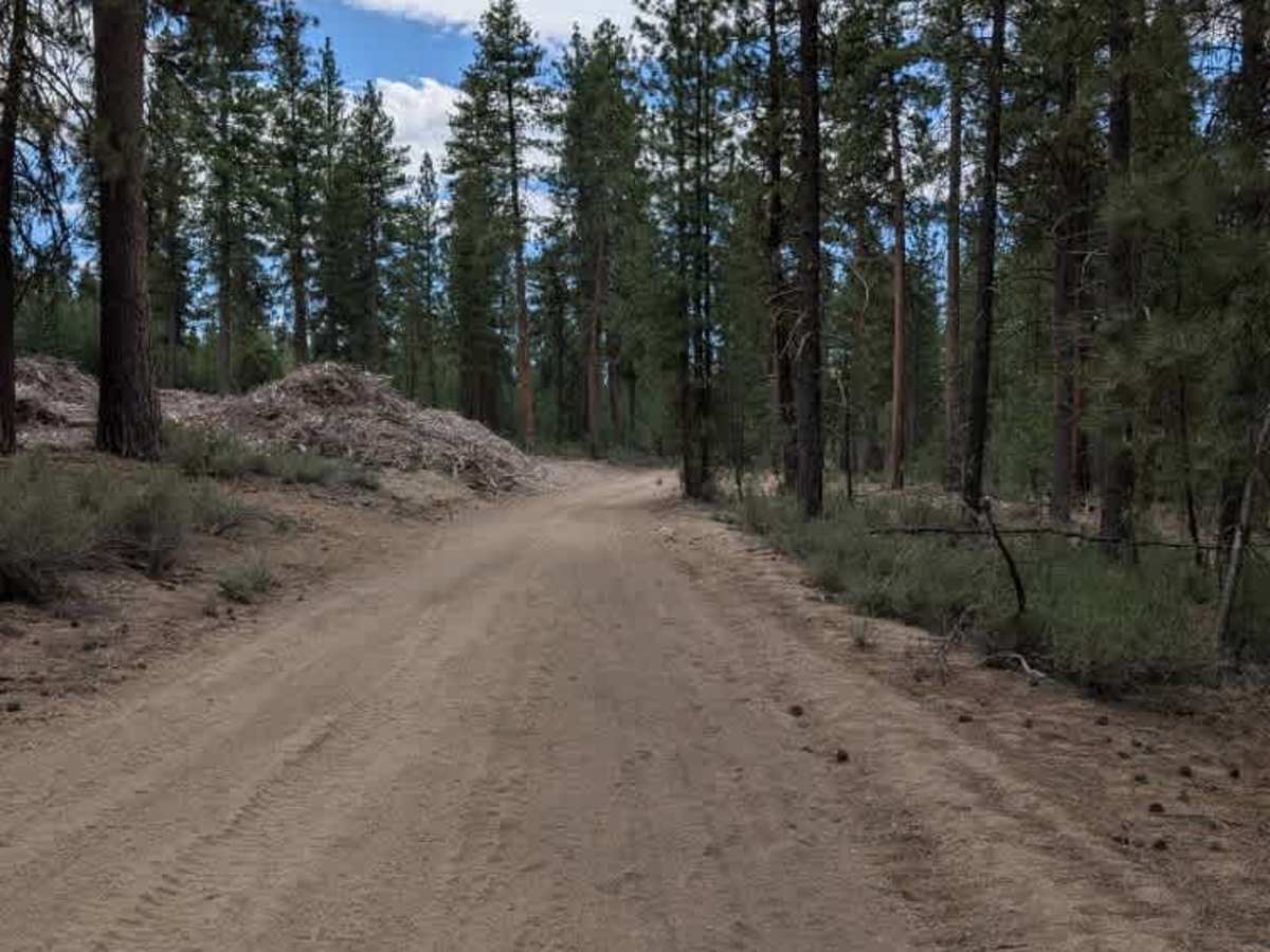
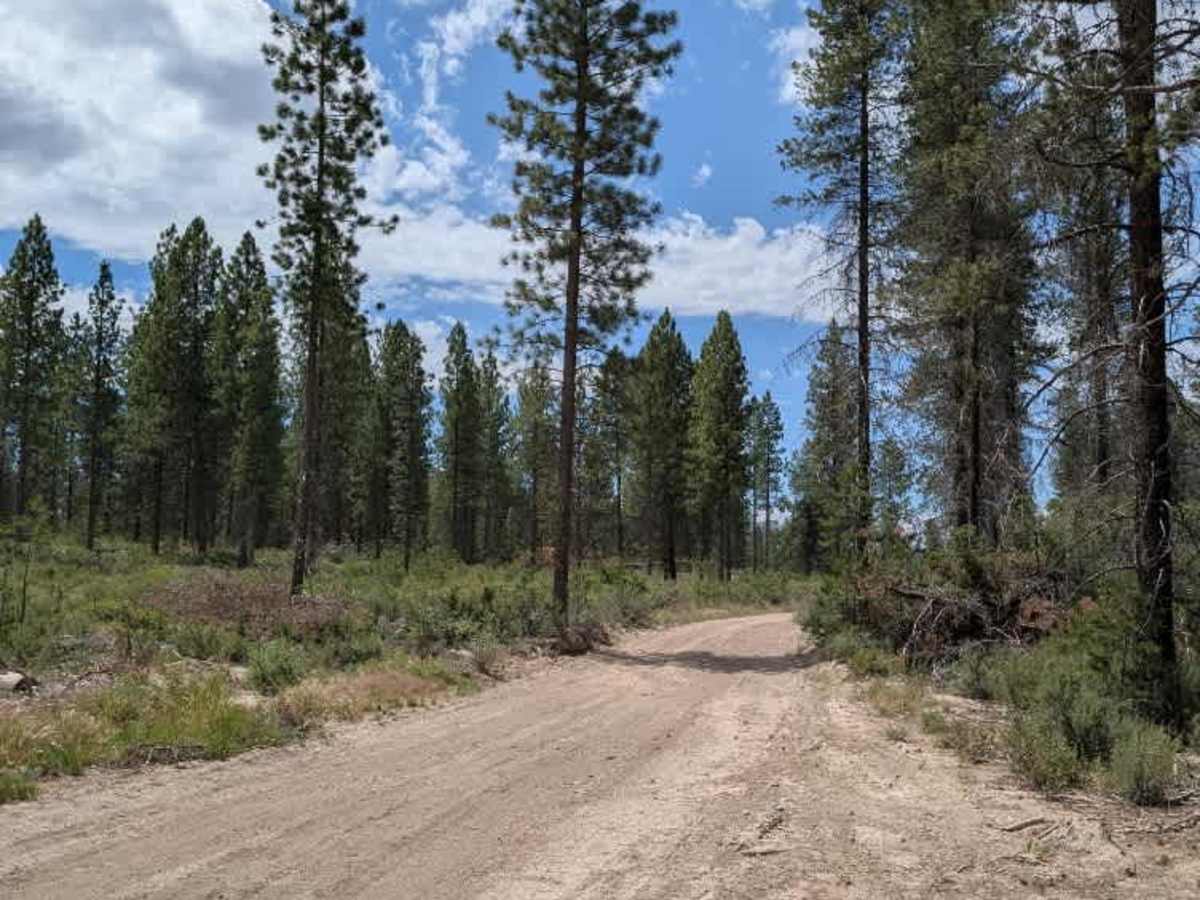
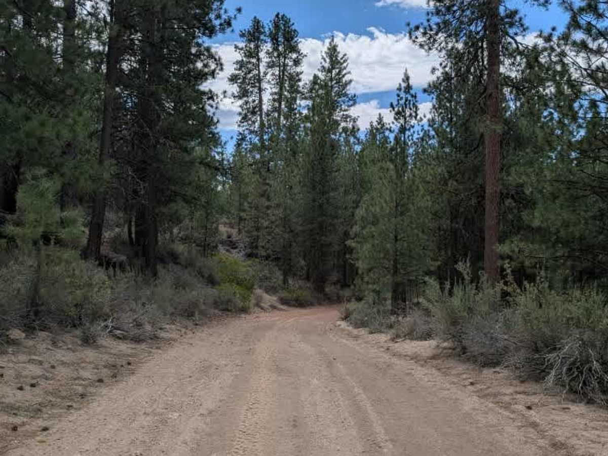
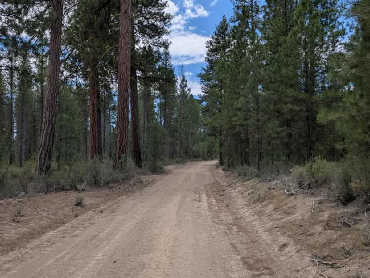
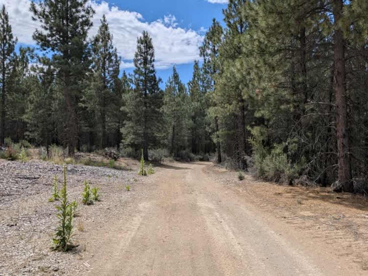
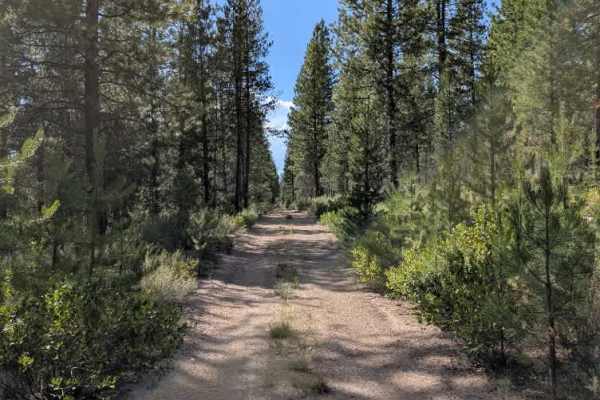
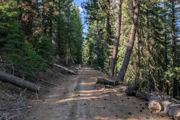
This trail is a long, well-used forest road that connects the northern arterial road with the southern arterial road, providing access toward the Cave Mountain area. The northern section has experienced some deterioration from logging activity, resulting in several rutted sections and patches of loose sand that may challenge two-wheel-drive vehicles. For much of the route, the road runs parallel to the railway, offering several scenic viewpoints across the surrounding landscape. Aside from the ruts and a few moderate inclines, the trail is straightforward and enjoyable to drive, making it suitable for most high-clearance 4x4 vehicles. Although the trail is a bit tricky due to the sandy northern section and occasional ruts, experienced drivers in capable vehicles should have little difficulty completing the route. Overall, it is an enjoyable connector road with beautiful scenery and convenient access to nearby trails. ATVs, UTVs, Side-by-Sides, and Dirt Bikes must always have a valid Oregon ATV Operating Permit sticker.
Difficulty
The trail is moderately easy, with loose sand, rutted sections, and a few moderate inclines providing the main challenges.