FS 4505000

Total Miles3.1
Technical Rating
2Easy
Best TimeSpring, Summer, Fall
Trail TypeFull-Width Road
Accessible By
Open Trail Map

Trail Overview

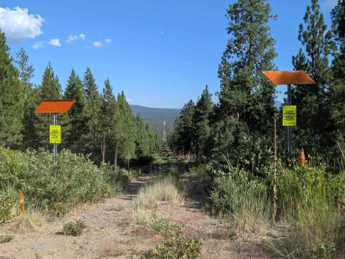
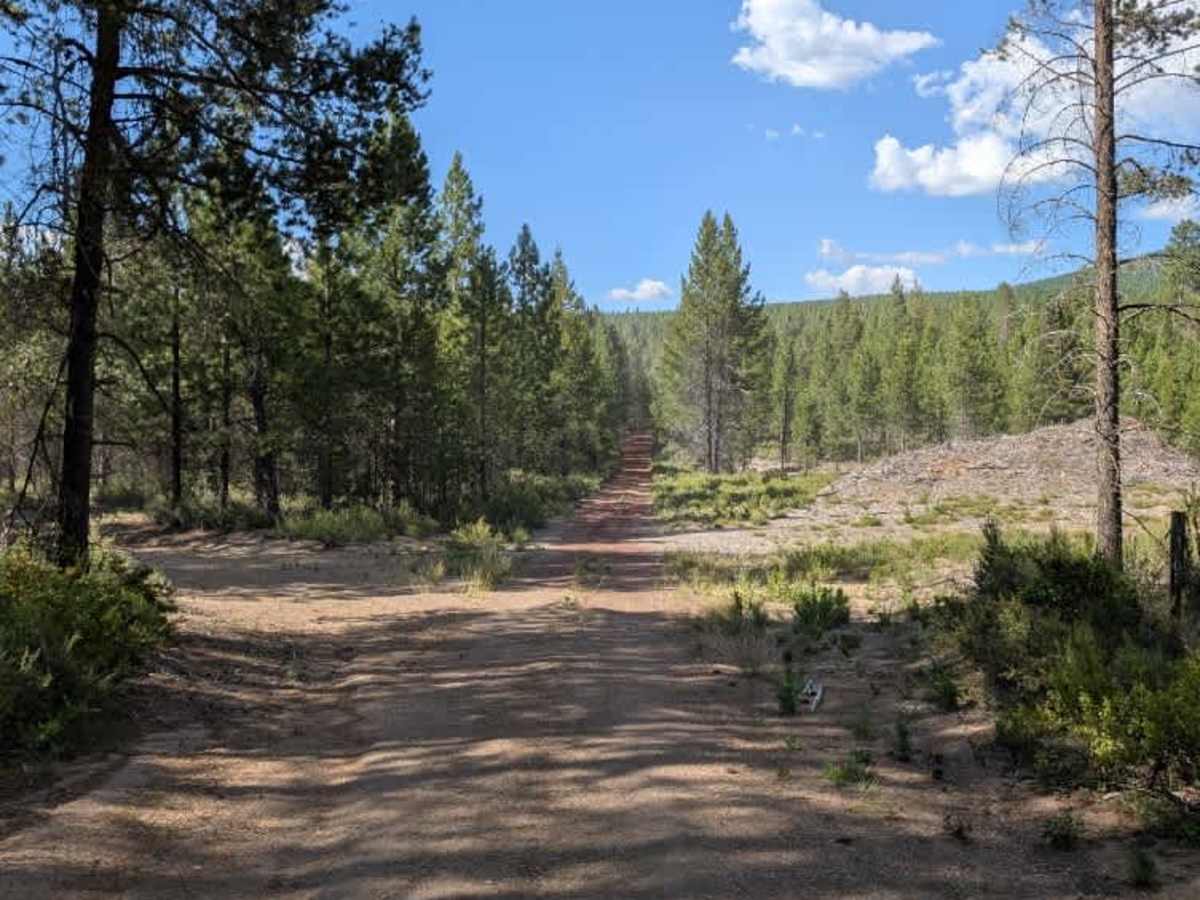
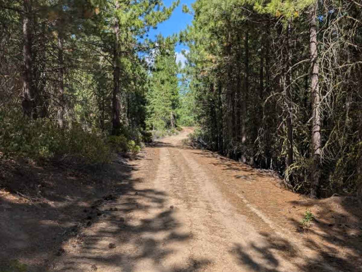
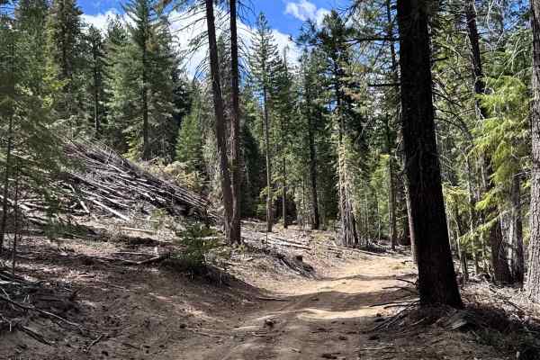
This trail is an unmaintained forest route that connects several other trails within the surrounding network, making it a useful option for exploring the area. The terrain is generally straightforward, with the primary obstacles being a number of fallen trees that may require careful navigation or occasional detours around them. Aside from these obstacles, the surface is relatively easy to drive, earning the trail a difficulty rating of 2. One of the more unique highlights is a crossing over a natural gas pipeline, where the open corridor provides an unexpected viewpoint and a pleasant contrast to the surrounding forest. Overall, this is an enjoyable and scenic connector trail that offers easy travel while linking multiple routes throughout the trail system.

Photos of FS 4505000

Difficulty

This trail offers comfortable travel, with limited obstacles beyond scattered fallen trees across the route.

Technical Rating

2

FS 4505000 Trail can be accessed by the following ride types:

  • Single Track
  • 50 Inch
  • 60 Inch
  • High Clearance
  • Full Width

FS 4505000 Map

The onX Offroad Difference

onX Offroad combines trail photos, descriptions, difficulty ratings, width restrictions, seasonality, and more in a user-friendly interface. Available on all devices, with offline access and full compatibility with CarPlay and Android Auto. Discover what you're missing today!

Open Trail Map