FS 5811450

Total Miles2.2
Technical Rating
1Easy
Best TimeSummer, Fall, Spring
Trail TypeFull-Width Road
Accessible By
Open Trail Map

Trail Overview

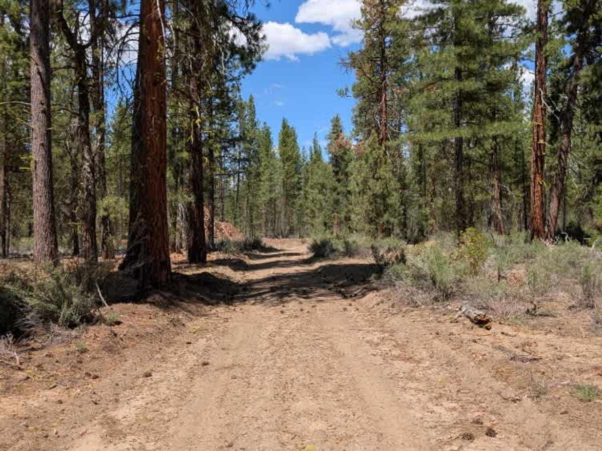
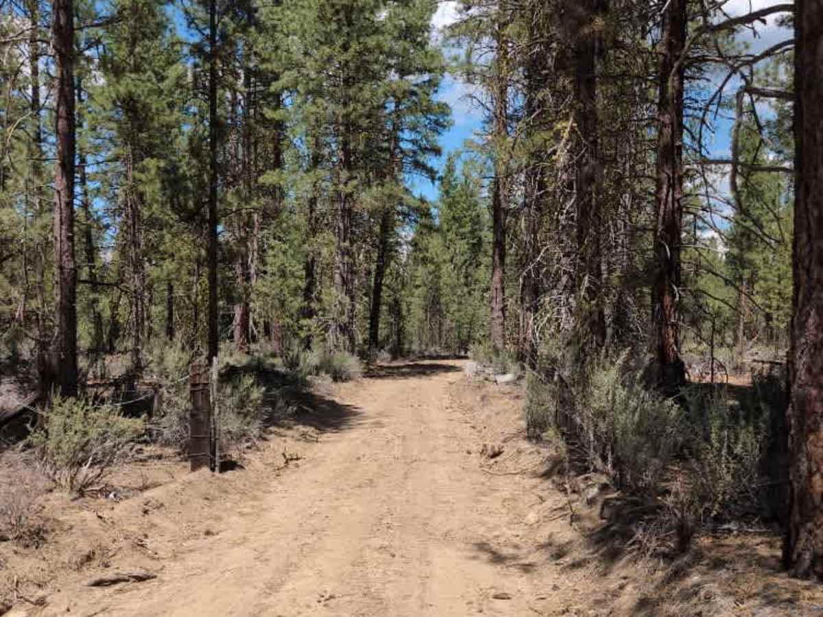
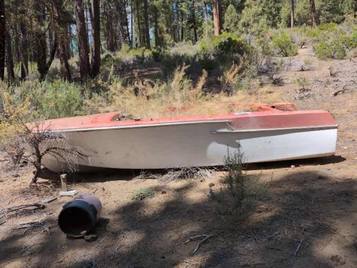
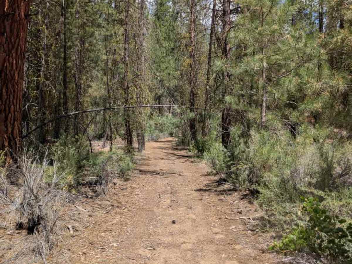
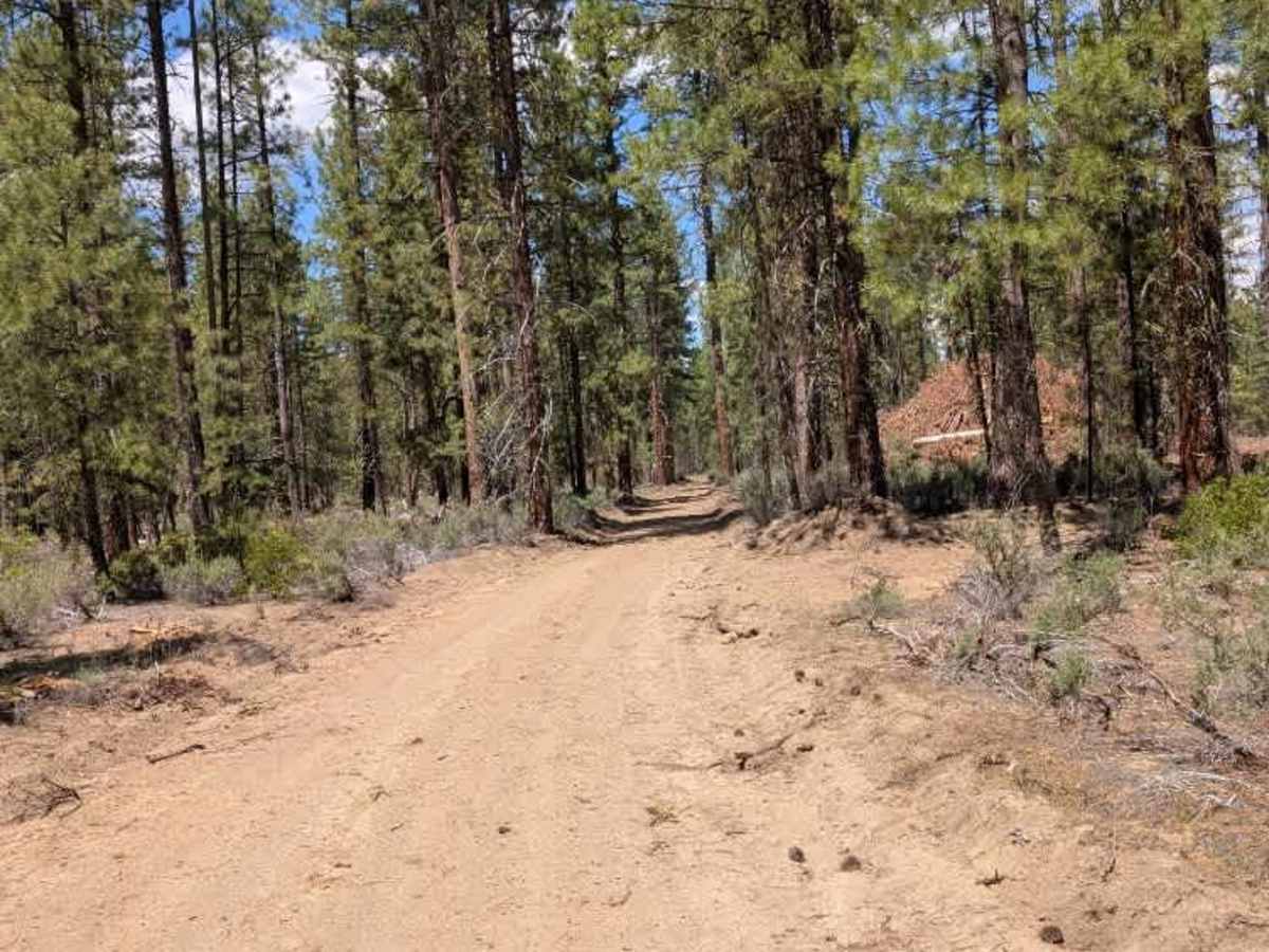
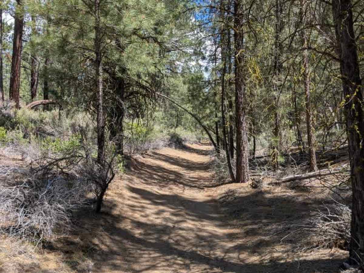
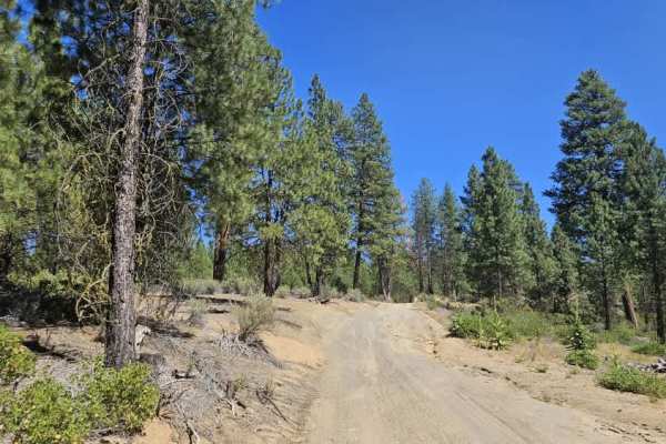
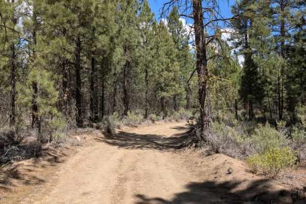
This trail connects to Pine Ridge and starts fairly tight, with numerous humps and uneven sections that make the first part a little more tiring to drive. An abandoned boat sits along the left side of the trail shortly after the entrance. As you continue, the route gradually becomes easier, and around the halfway point it opens up into what appears to be an old logging road. The former logging road section is wider, smoother, and appears to receive plenty of vehicle traffic. The final section before the T-junction is marked as a high-clearance or ATV route, but the logging work has significantly improved the road, and there are no notable obstacles or technical sections. Overall, this is a straightforward trail that becomes considerably easier as you progress. ATVs, UTVs, Side-by-Sides, and Dirt Bikes must always have a valid Oregon ATV Operating Permit sticker.

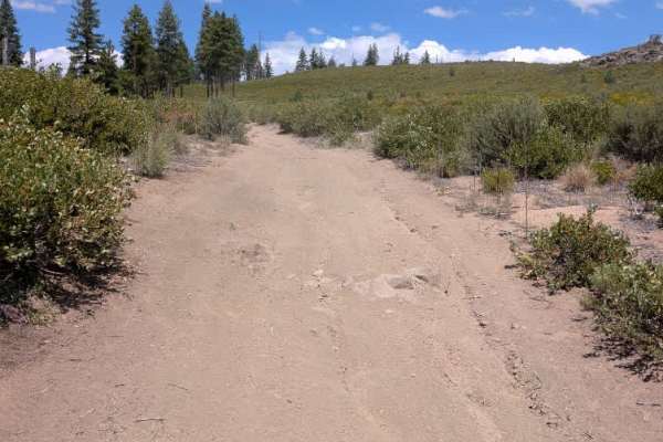
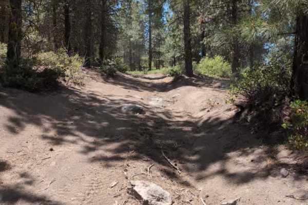
Photos of FS 5811450

Difficulty

This trail starts with a rough, narrow section before improving into an easy, well-widened road.

Technical Rating

1

FS 5811450 Trail can be accessed by the following ride types:

  • Single Track
  • 50 Inch
  • 60 Inch
  • High Clearance
  • Full Width

FS 5811450 Map

The onX Offroad Difference

onX Offroad combines trail photos, descriptions, difficulty ratings, width restrictions, seasonality, and more in a user-friendly interface. Available on all devices, with offline access and full compatibility with CarPlay and Android Auto. Discover what you're missing today!

Open Trail Map