FS 4983490

Total Miles1.4
Technical Rating
1Easy
Best TimeSpring, Summer, Fall
Trail TypeFull-Width Road
Accessible By
Open Trail Map

Trail Overview

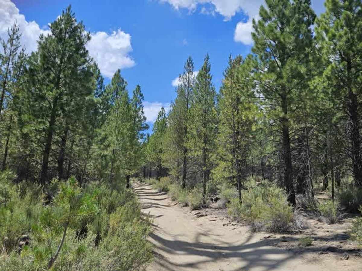
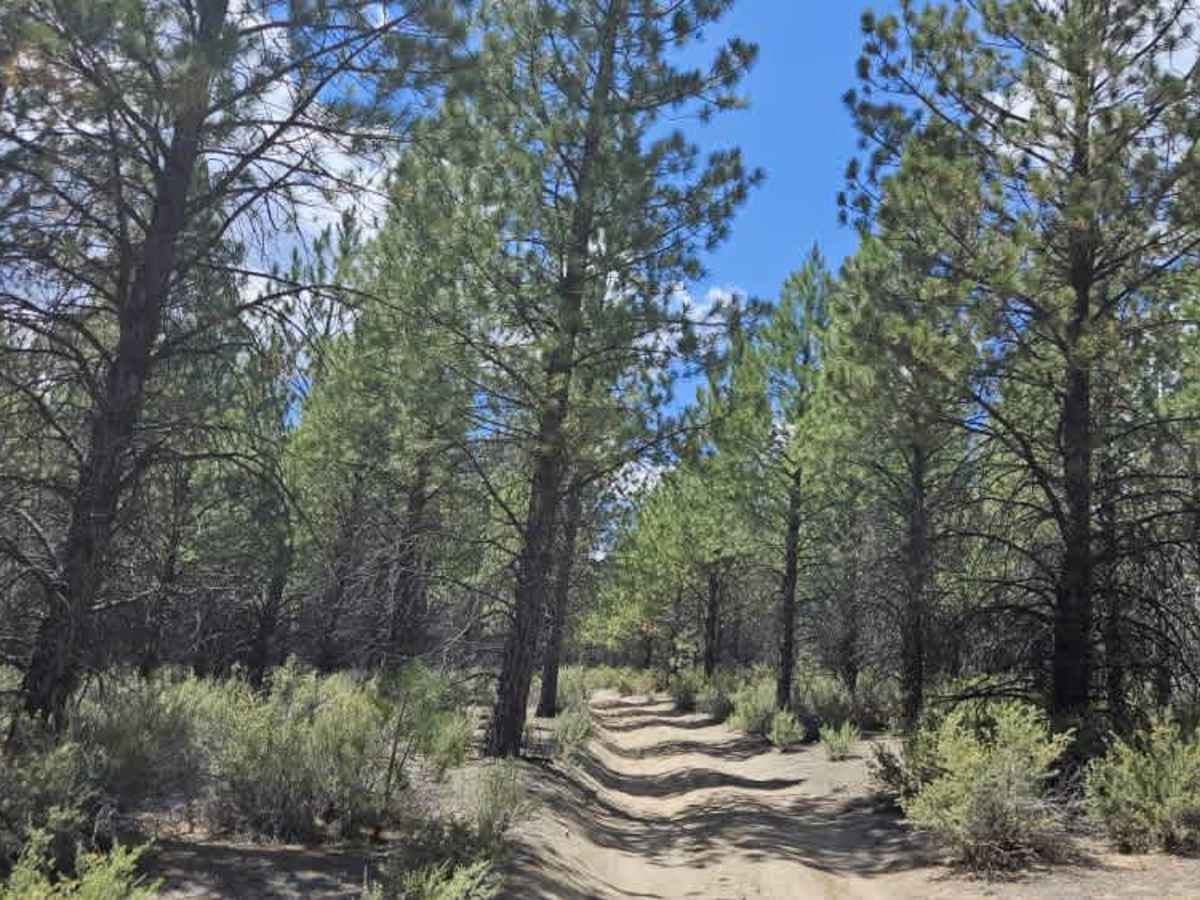
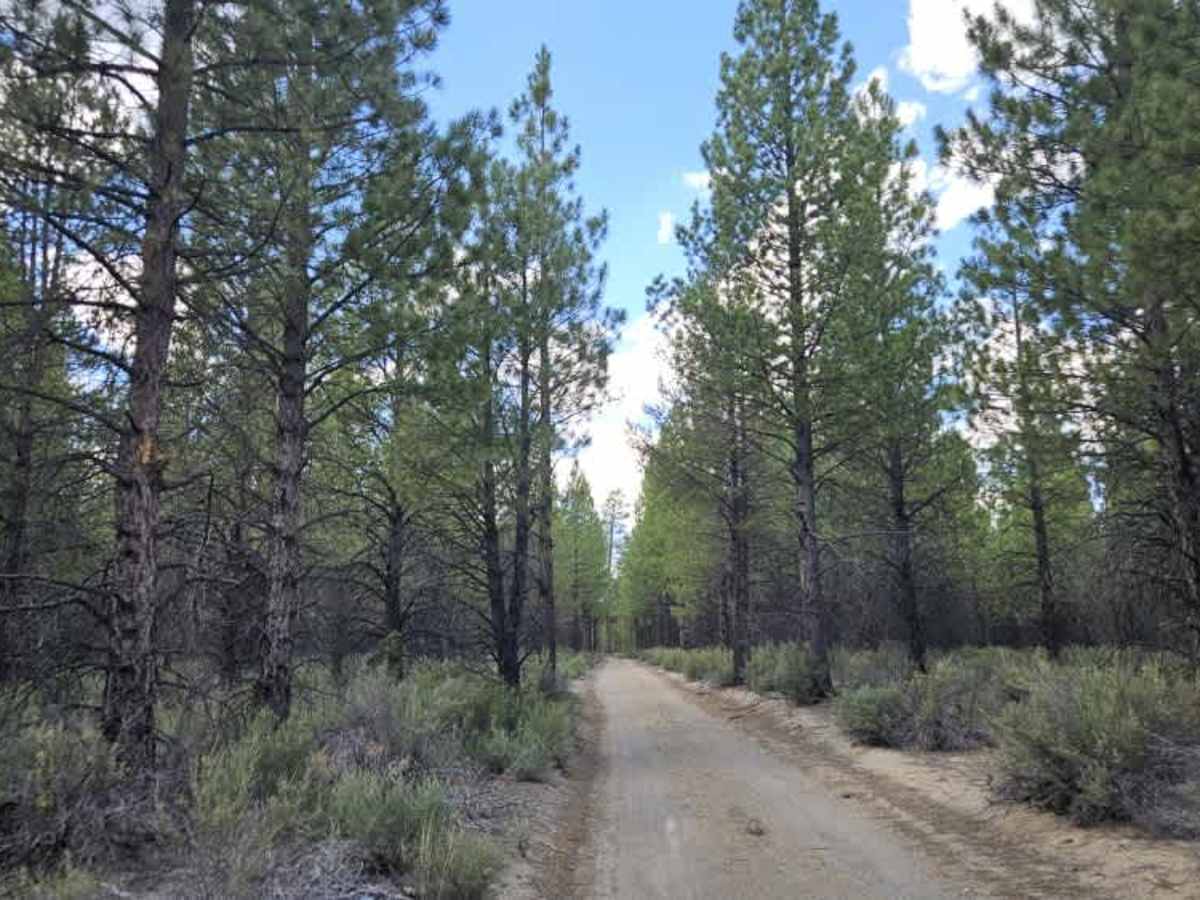
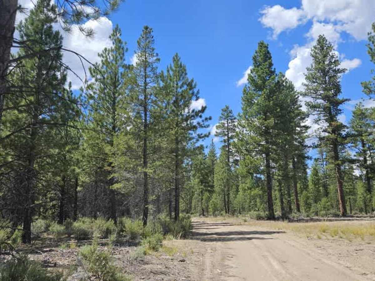
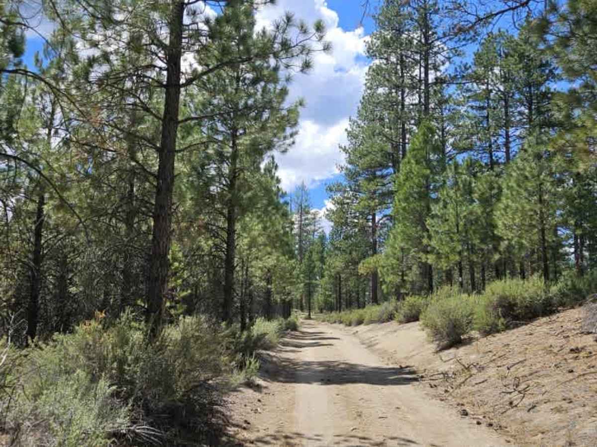
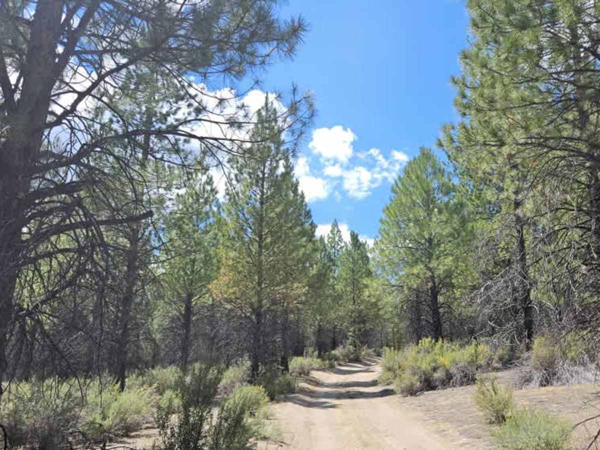
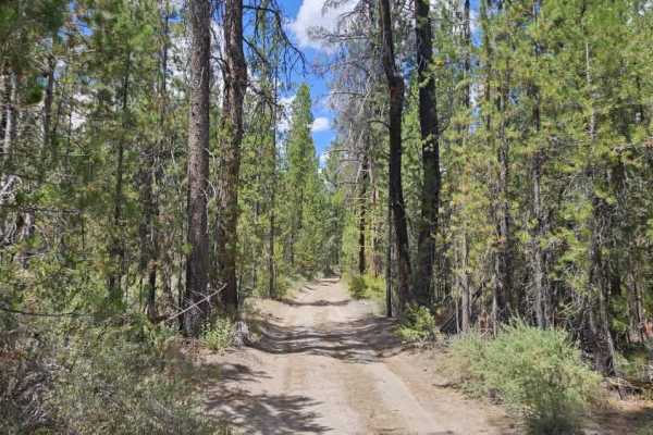
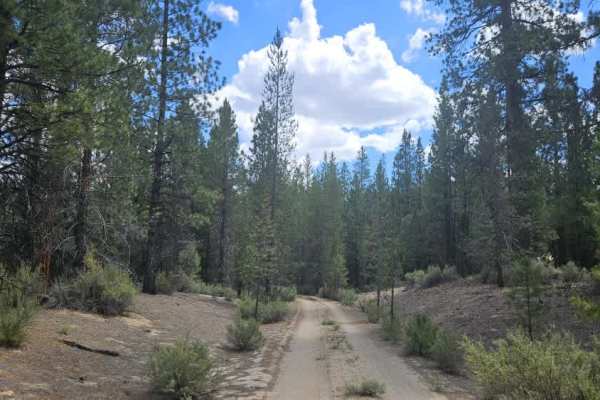
This trail climbs away from the Williamson River on a steady incline before entering a wide clearing that was previously used for logging. Although the climb is manageable for most high-clearance vehicles in dry conditions, the steep grade could become considerably more challenging during wet weather. The southern approach from the marsh includes a few off-camber sections, while the upper portion becomes well maintained and much easier to drive. Several large clearings provide opportunities for dispersed camping, although the more scenic campsites are located closer to the river and marsh. Overall, this is a straightforward connector trail with beautiful scenery and only a few sections that require additional care.

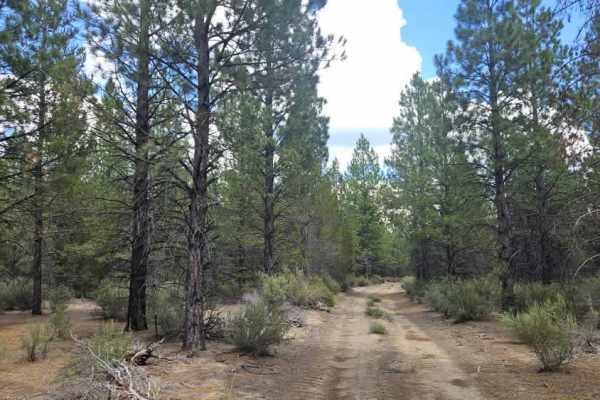
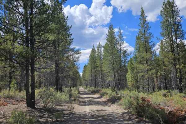
Photos of FS 4983490

Difficulty

The trail is moderately easy, with a steady climb, off-camber sections, and changing traction in wet conditions.

Technical Rating

1

FS 4983490 Trail can be accessed by the following ride types:

  • High Clearance
  • Full Width

FS 4983490 Map

The onX Offroad Difference

onX Offroad combines trail photos, descriptions, difficulty ratings, width restrictions, seasonality, and more in a user-friendly interface. Available on all devices, with offline access and full compatibility with CarPlay and Android Auto. Discover what you're missing today!

Open Trail Map