Trail Overview
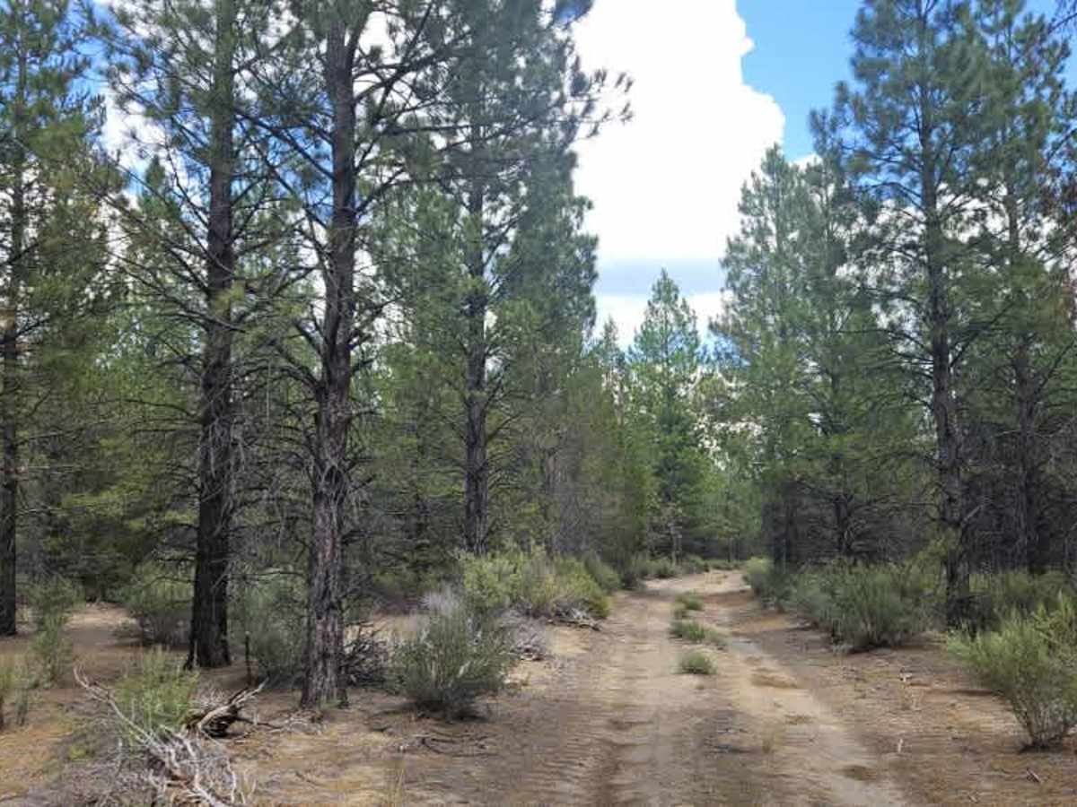
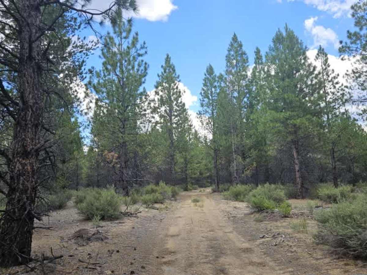
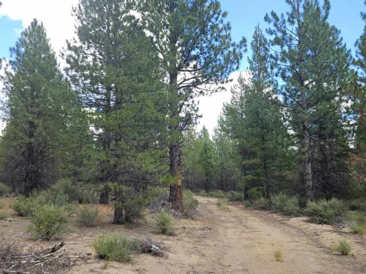
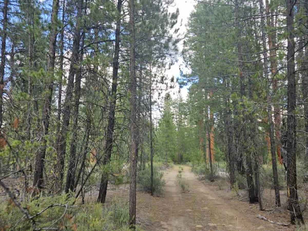
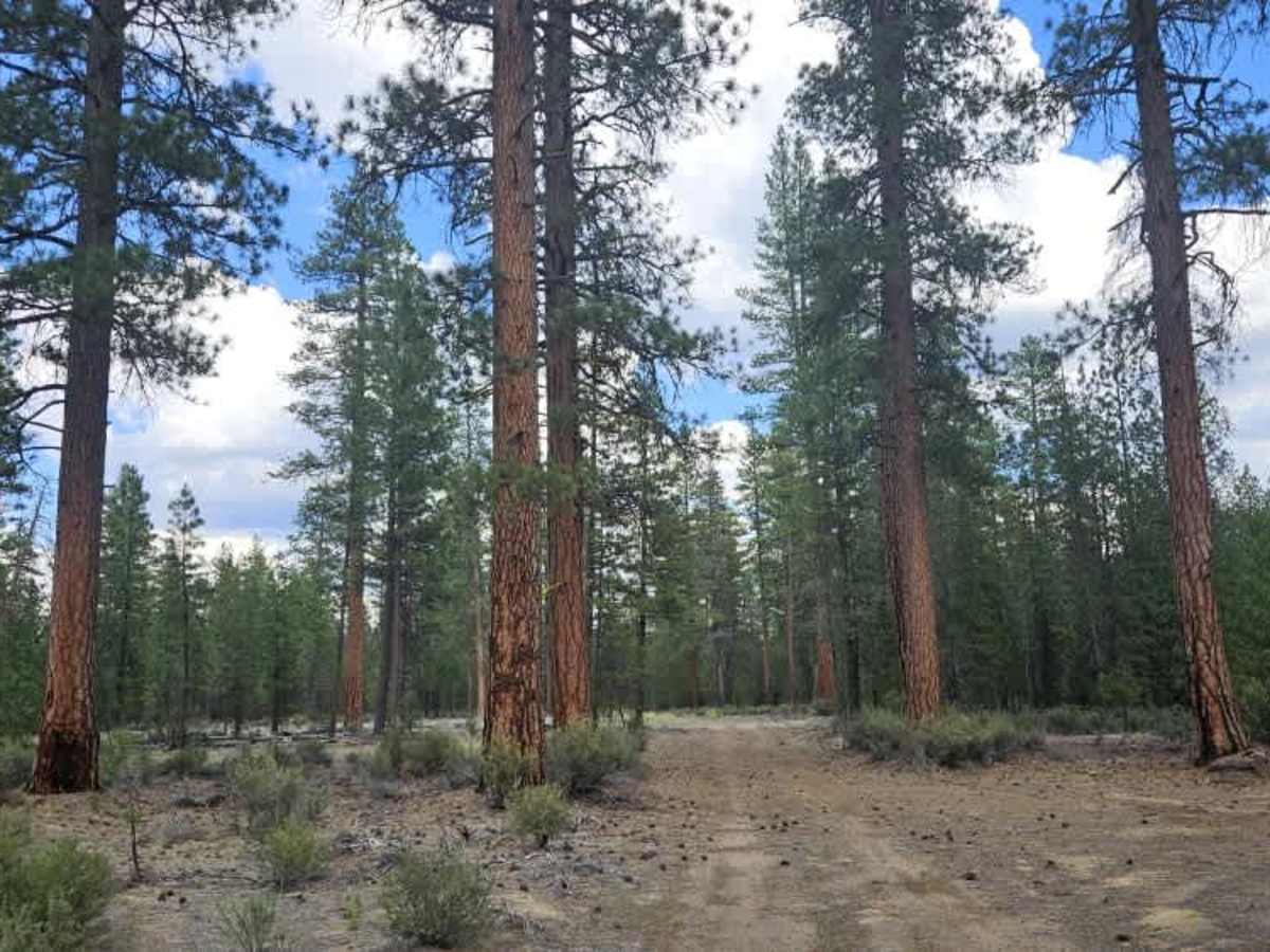
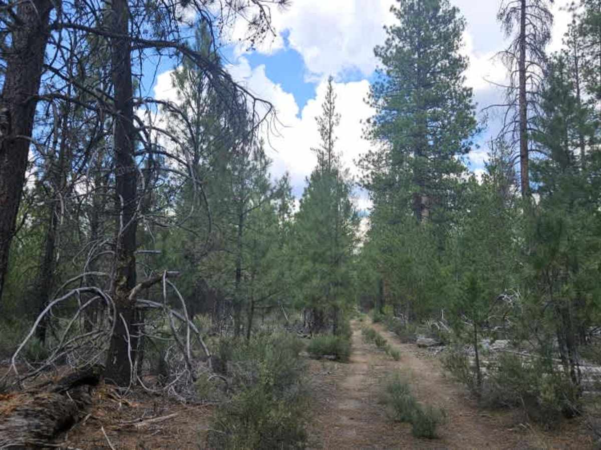
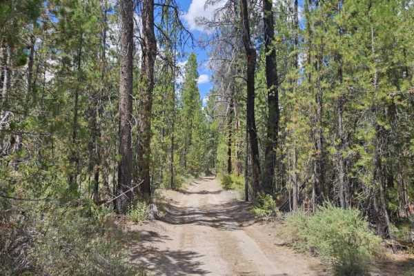
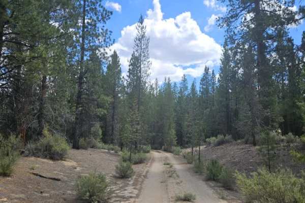
This user-maintained trail winds through beautiful Ponderosa pine forest and offers a more technical drive than many of the surrounding routes. The trail is narrow and overgrown, with frequent tree stumps, exposed roots, fallen trees, and dense vegetation creating unavoidable pinstriping for wider vehicles. One extended section consists of continuous undulating humps that make for a slow but enjoyable drive. Several obstacles have been bypassed over time, so it is best to follow the mapped trail rather than driving around them. Large potholes and uneven terrain require careful wheel placement throughout. Although the mapped trail ends before the descent, the road itself continues farther down the mountain. Several clearings from previous logging operations provide camping opportunities, while additional shaded campsites can be found beneath the surrounding Ponderosa pines.
This route is subject to Seasonal Designation. Please check local regulations and current conditions before traveling.
Difficulty
The trail is moderately difficult, with narrow overgrown sections, exposed roots, potholes, and frequent obstacles requiring careful navigation.