Trail Overview
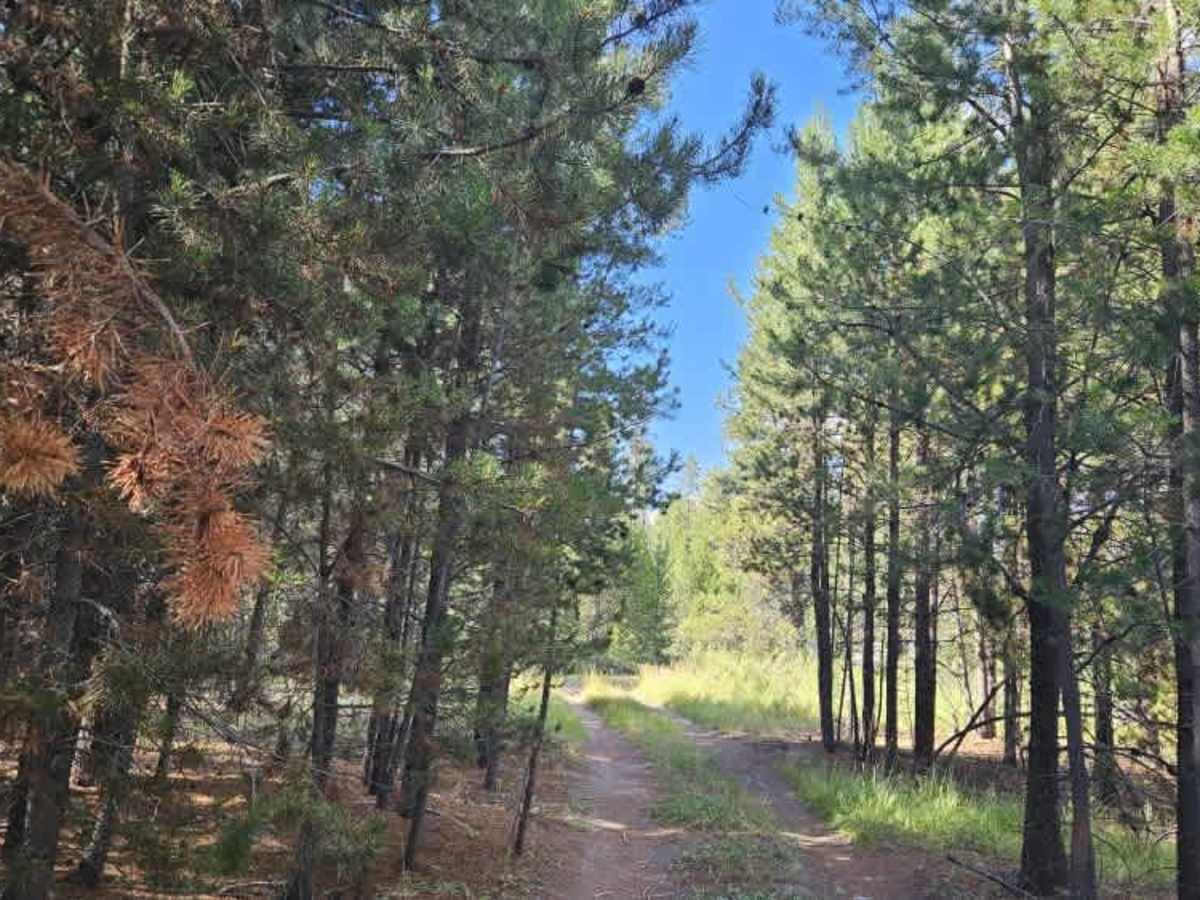
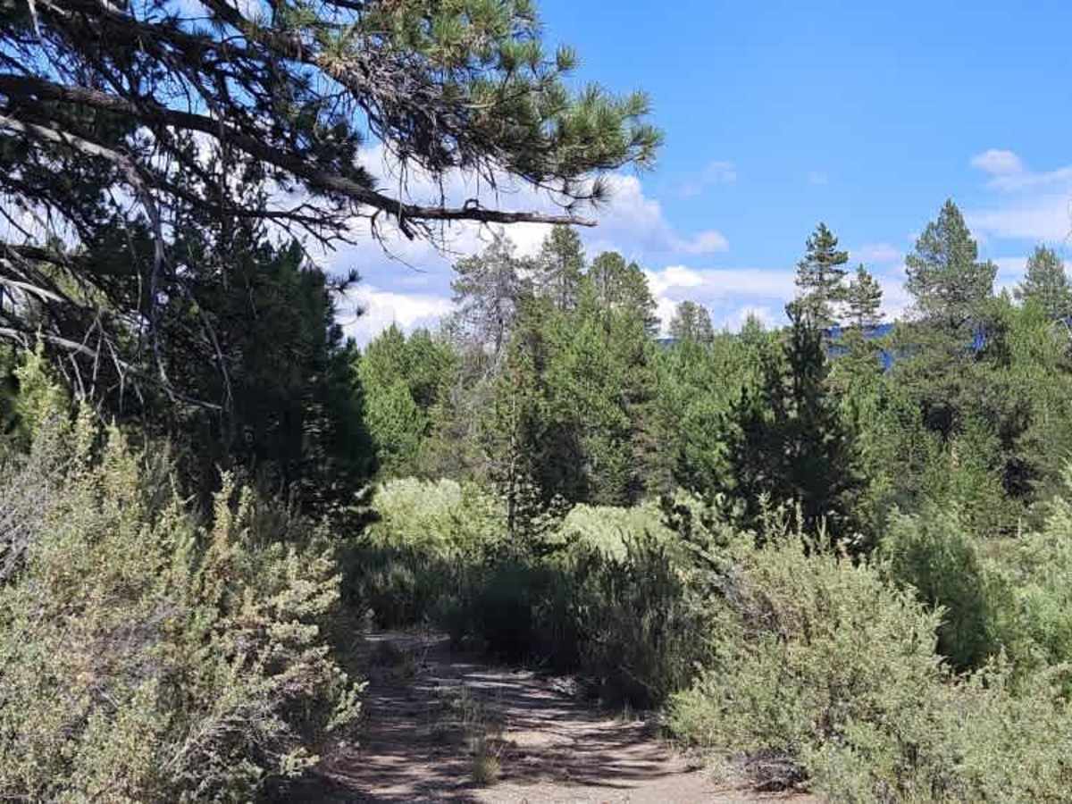
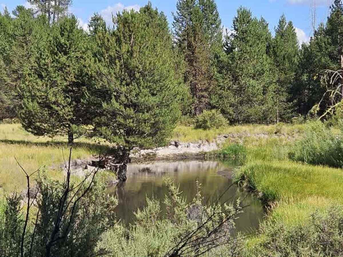
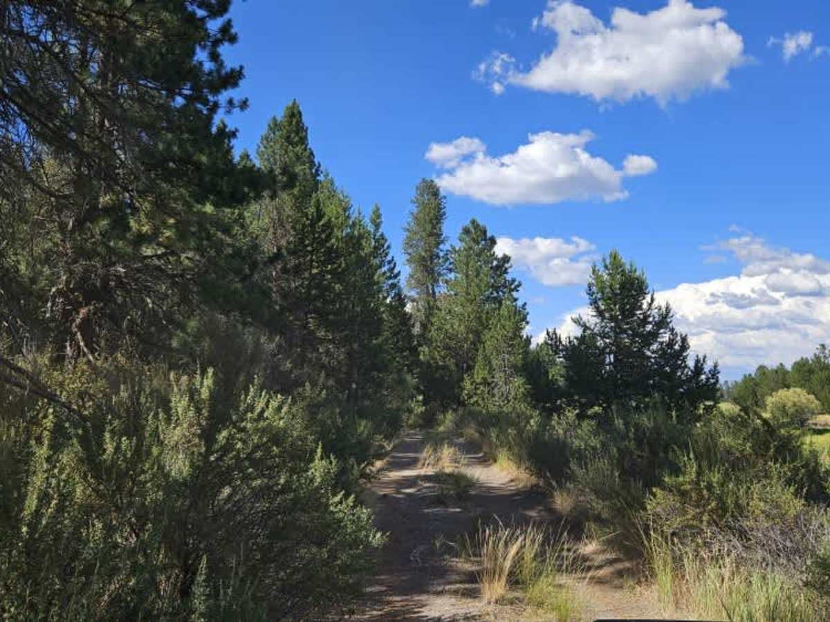
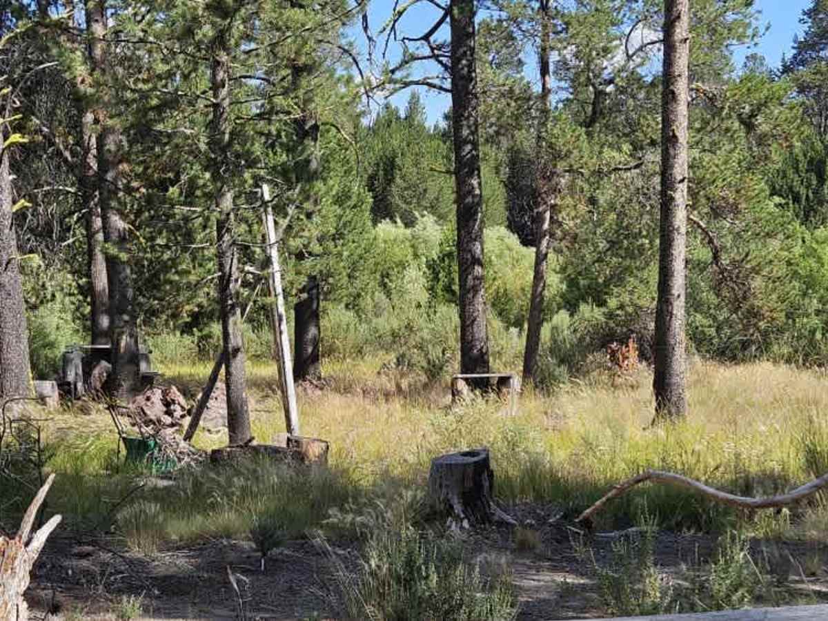
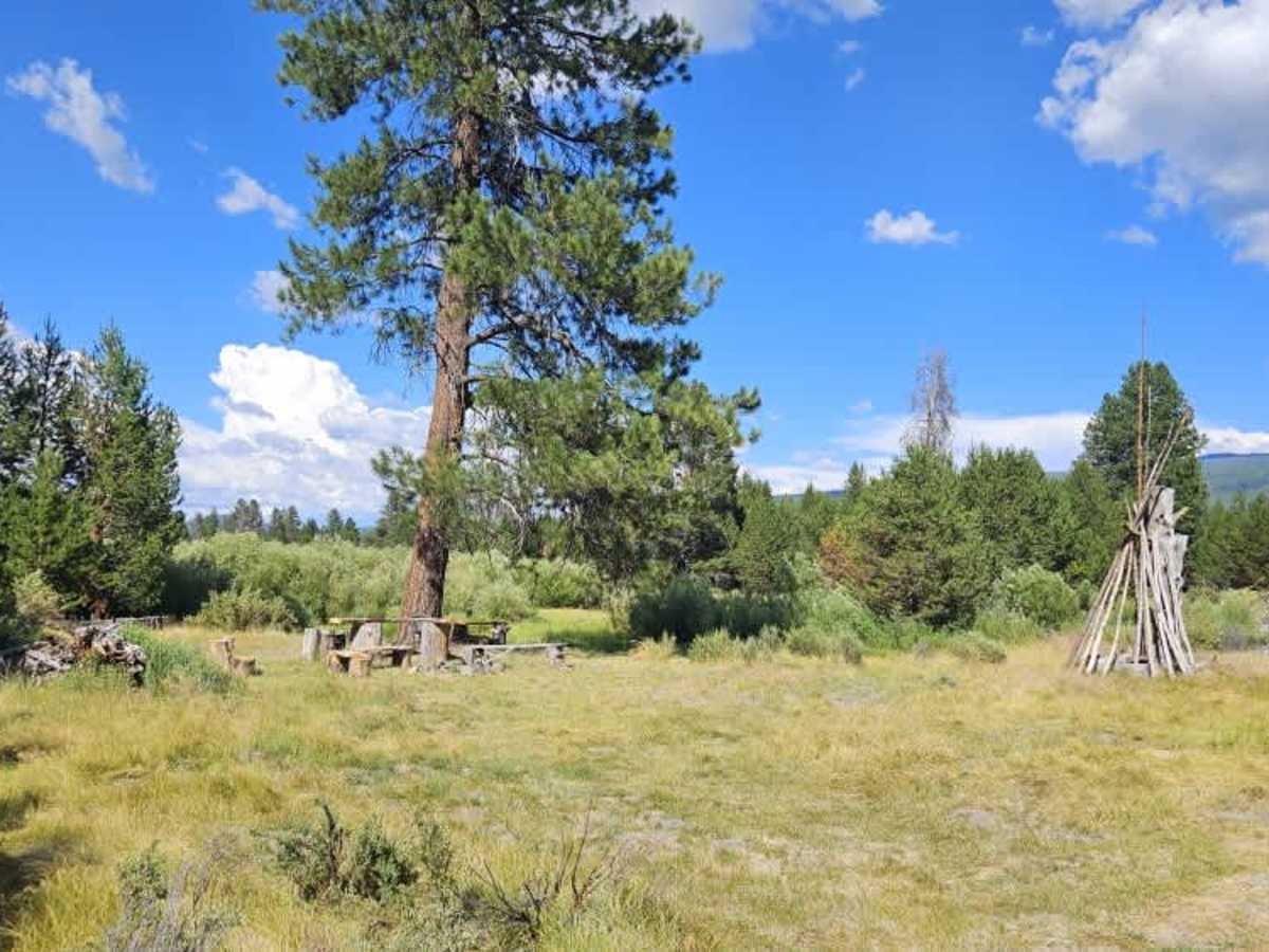
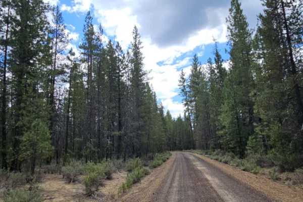
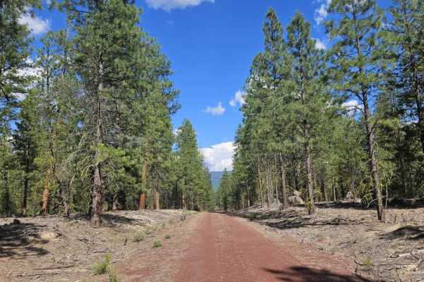
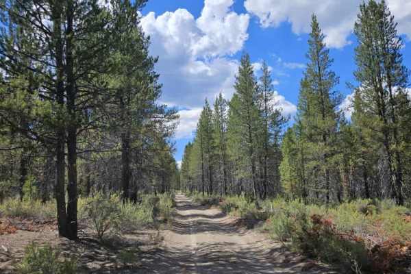
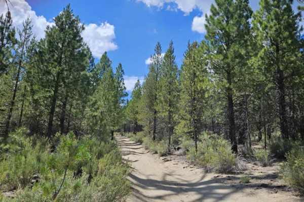
This trail begins as a sandy silt road through a former logging area, where piles of logging debris remain alongside the road and in nearby clearings. Although the surface is mostly soft sand and silt, hidden rocks are scattered throughout, so moderate speeds are recommended. The trail gradually climbs into the hills, where the surface changes to red gravel before winding through a beautiful forest. The climb is steady rather than steep, making for an enjoyable drive. Farther along, the trail returns to white sandy silt and becomes much narrower. Larger vehicles should expect pinstriping from overhanging branches, while protruding tree stumps, undulating terrain, and several uneven cattle grids require extra care. The route then descends alongside the marsh and follows the Williamson River through a particularly scenic section. Primitive campsites are located throughout the area, including larger group sites with rock fire rings and simple seating. Near the marsh, the trail becomes less maintained with tighter vegetation and a rougher surface, but the beautiful river views and peaceful forest setting make it a rewarding drive.
Difficulty
The trail is moderately challenging, with hidden rocks, narrow sections, pinstriping, and uneven terrain requiring careful driving.