FS 4526000

Total Miles1.8
Technical Rating
4Moderate
Best TimeSpring, Summer, Fall
Trail TypeFull-Width Road
Accessible By
Open Trail Map

Trail Overview

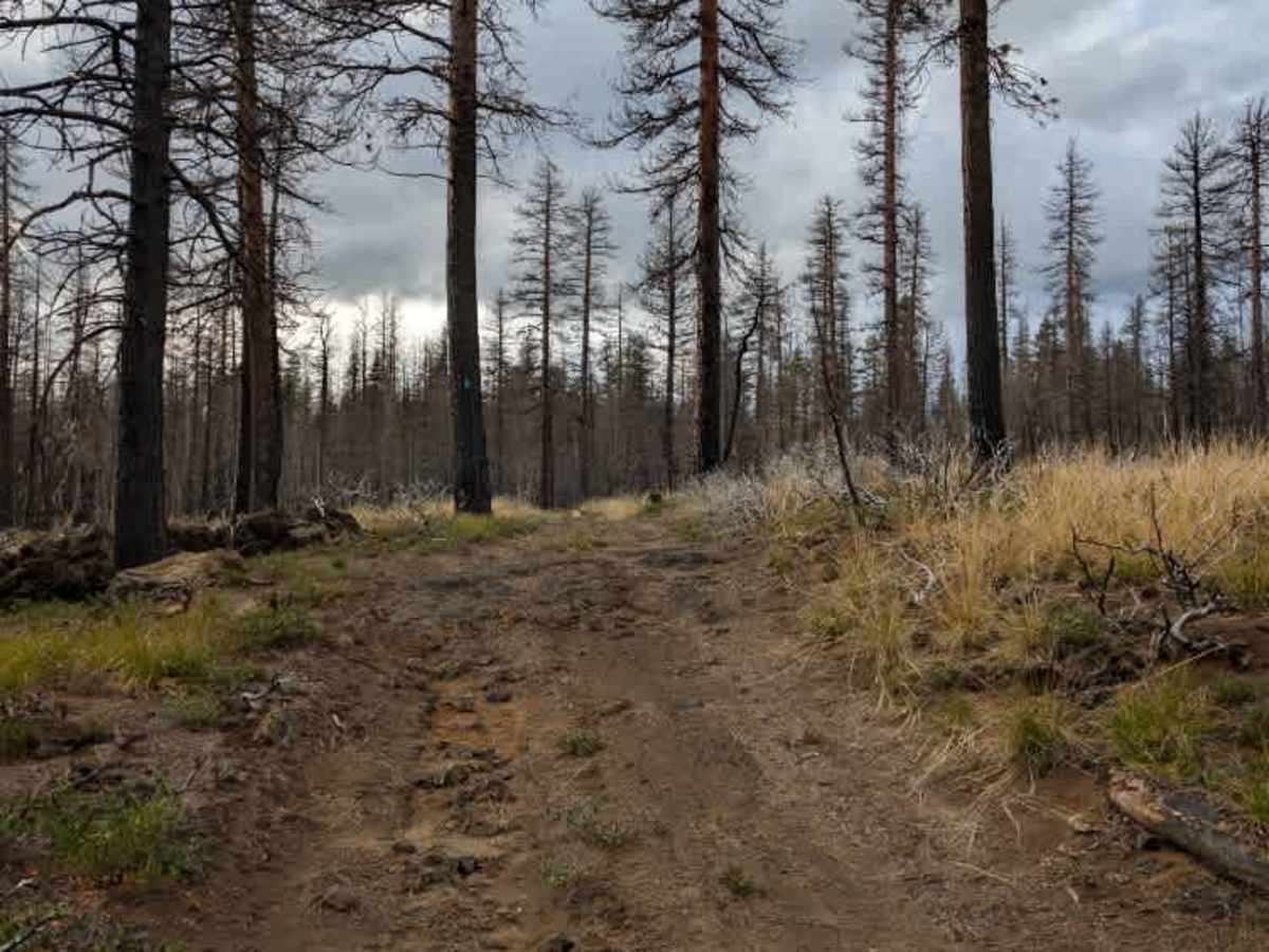
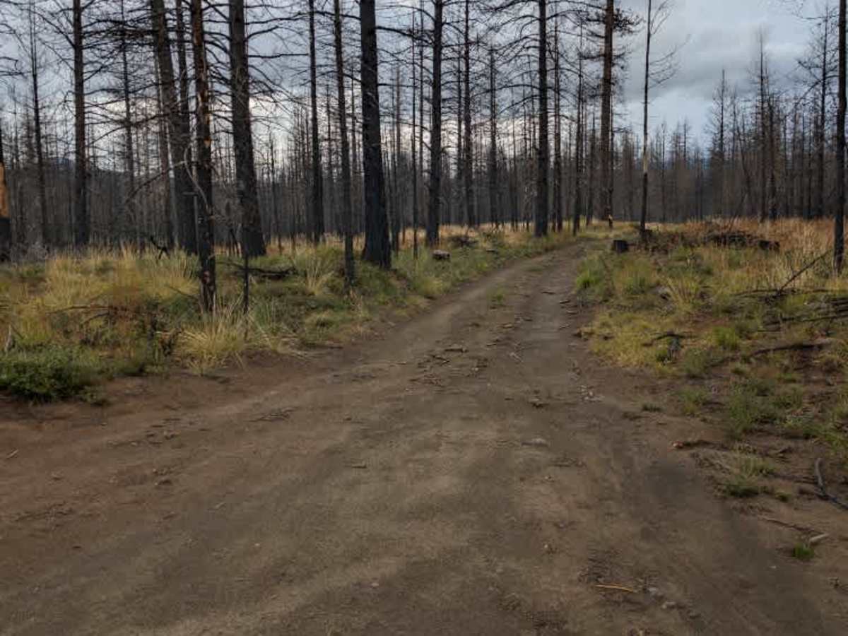
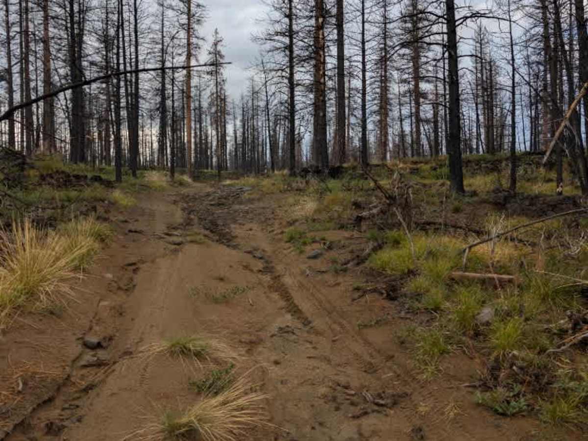
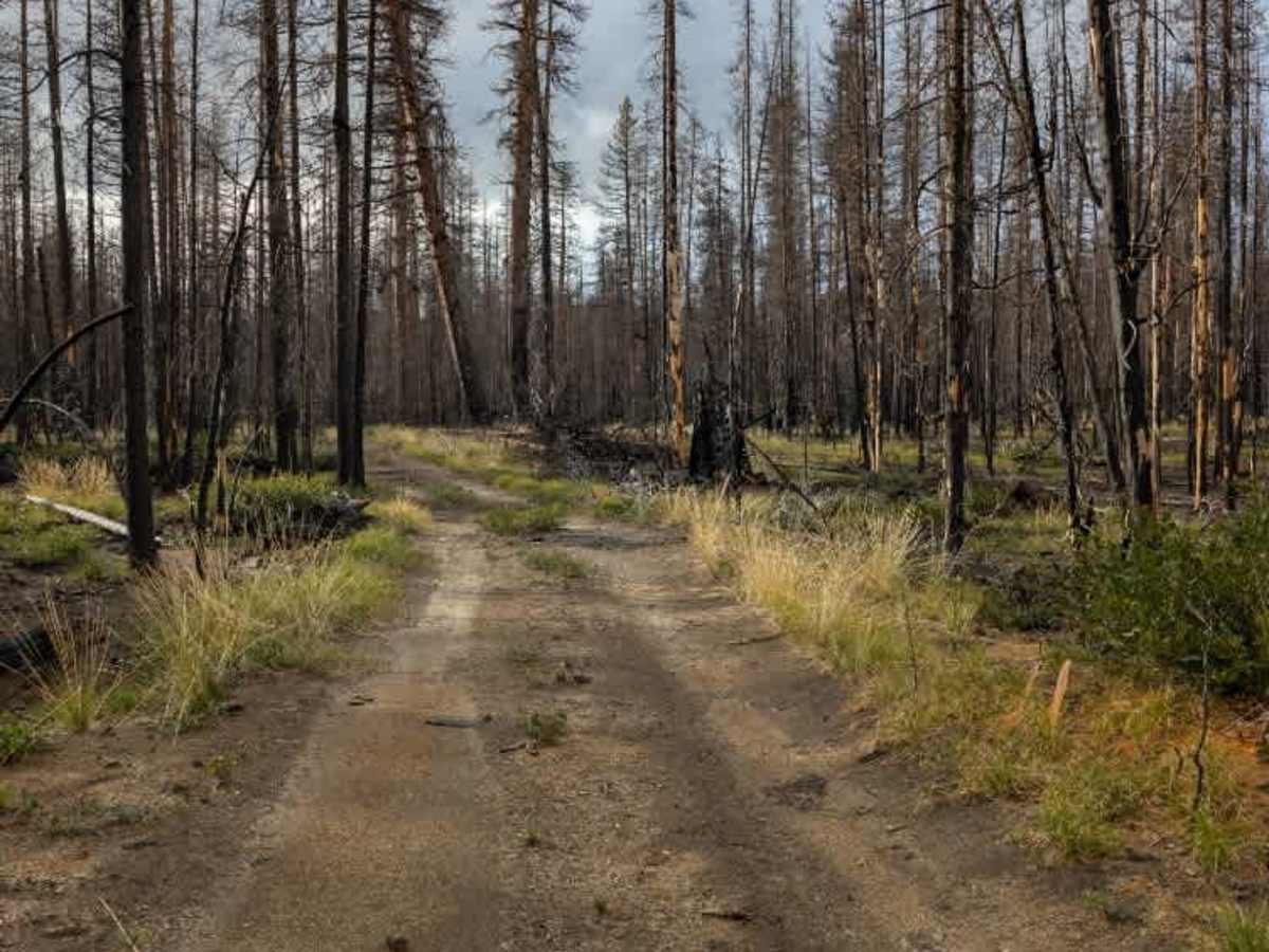
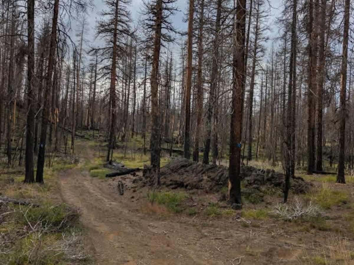
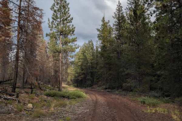
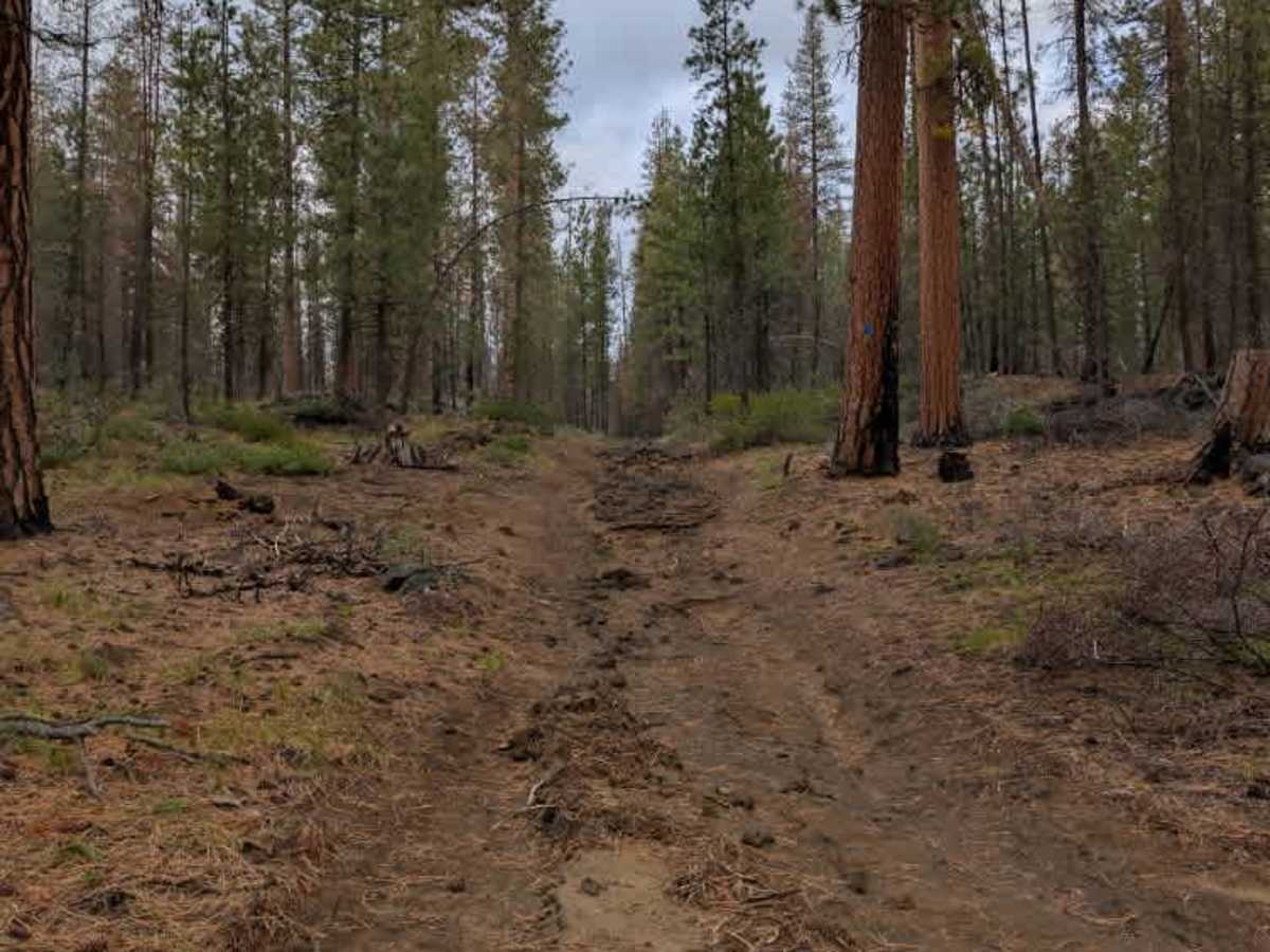
This trail is a challenging alpine road with massive, very steep rock inclines, off-camber sections, ruts, and exposed stone ledges. Some of the steepest sections require careful line selection and may call for a low range to get through. The terrain is hectic in places, with large rocks and uneven surfaces making the route much more demanding than a typical forest road. The road was formerly used for logging and now appears to serve primarily as an access route for wildfires, allowing fire crews to reach the area if needed. Because of the rough terrain, full-size rigs will likely struggle to navigate the steeper, more technical sections. A short-wheelbase vehicle has an advantage here, making it easier to pick around the worst lines. The trail is open seasonally from April through November. Please check local regulations and current conditions before traveling. ATVs, UTVs, Side-by-Sides, and Dirt Bikes must always have a valid Oregon ATV Operating Permit sticker.

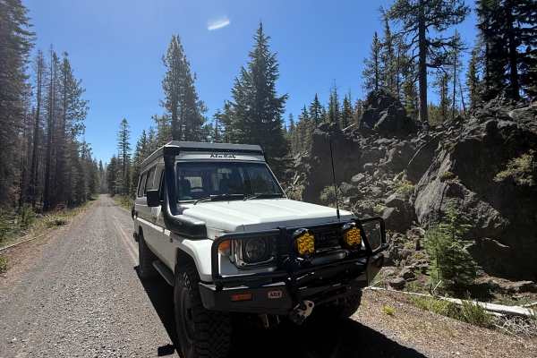
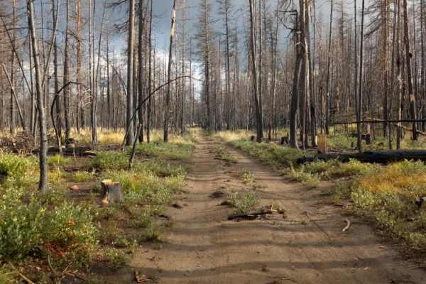
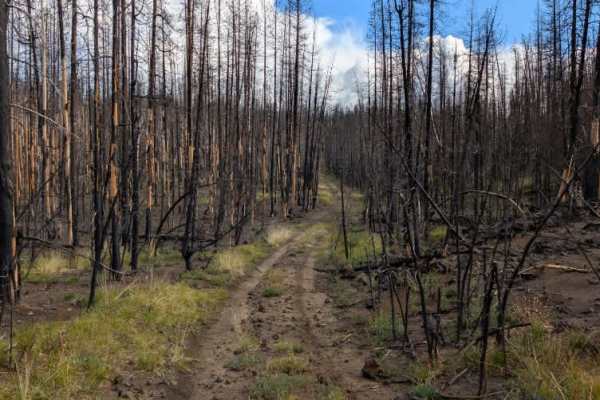
Photos of FS 4526000

Difficulty

Steep rock inclines, off-camber sections, and exposed ledges make this a very challenging trail.

Technical Rating

4

FS 4526000 Trail can be accessed by the following ride types:

  • Single Track
  • 50 Inch
  • 60 Inch
  • High Clearance
  • Full Width

FS 4526000 Map

The onX Offroad Difference

onX Offroad combines trail photos, descriptions, difficulty ratings, width restrictions, seasonality, and more in a user-friendly interface. Available on all devices, with offline access and full compatibility with CarPlay and Android Auto. Discover what you're missing today!

Open Trail Map