FS 4030500

Total Miles1.5
Technical Rating
2Easy
Best TimeSpring, Summer, Fall
Trail TypeFull-Width Road
Accessible By
Open Trail Map

Trail Overview

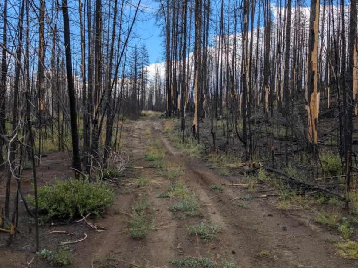
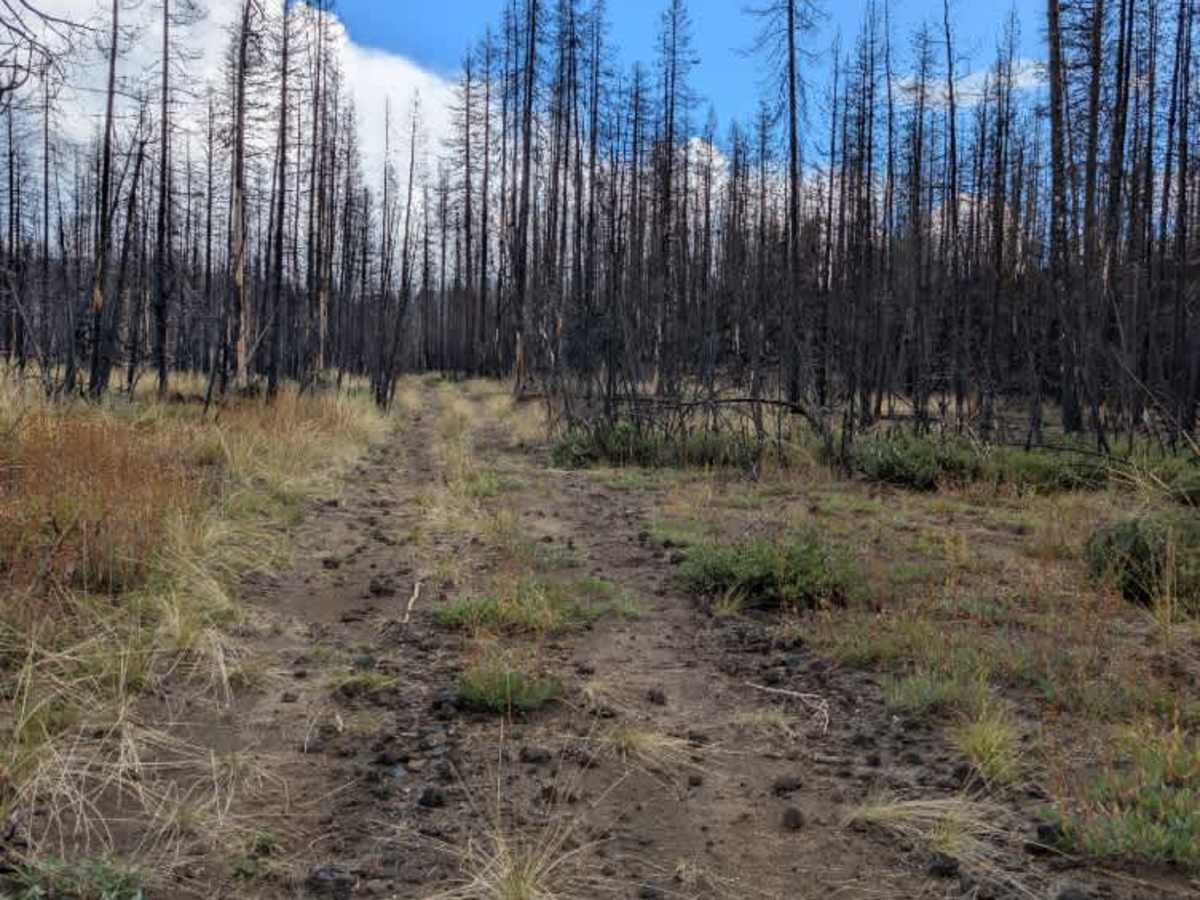
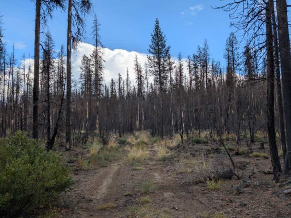
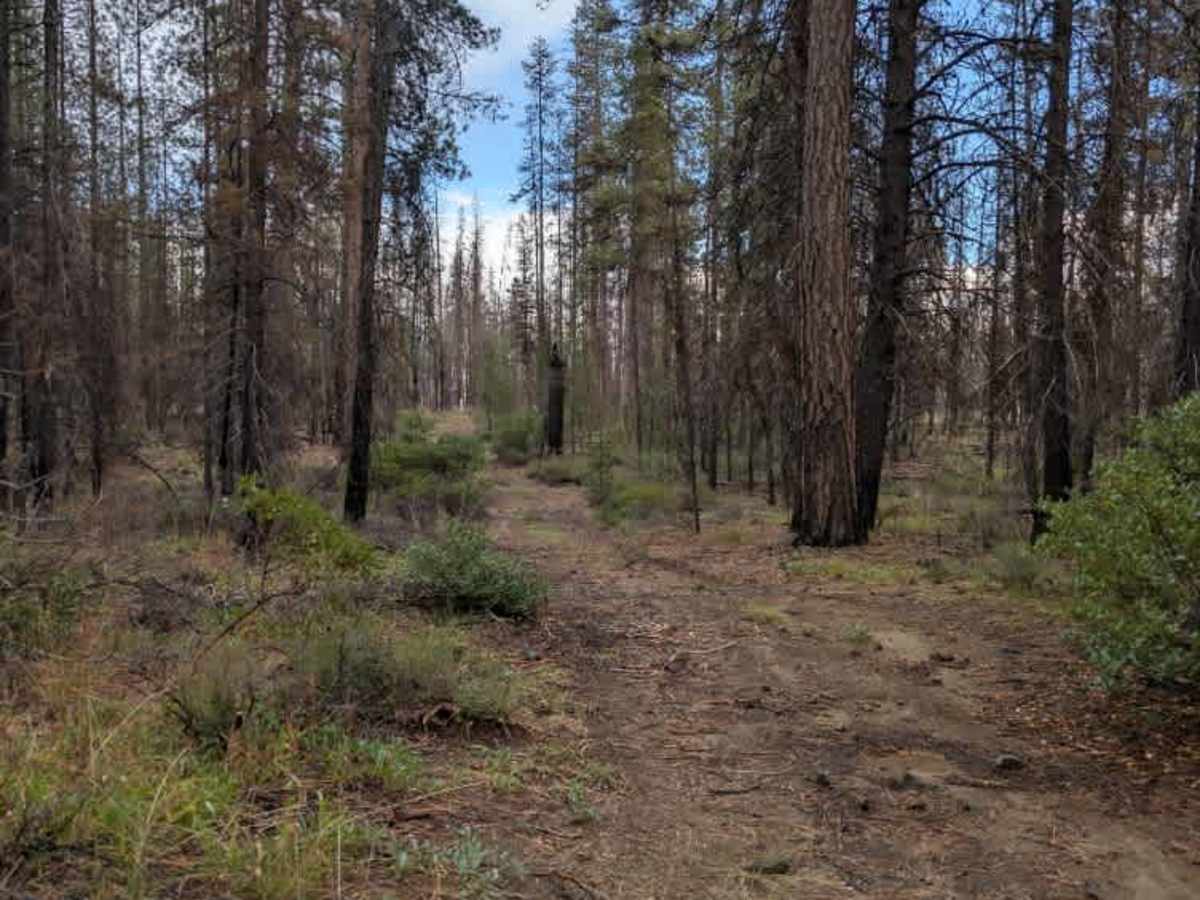
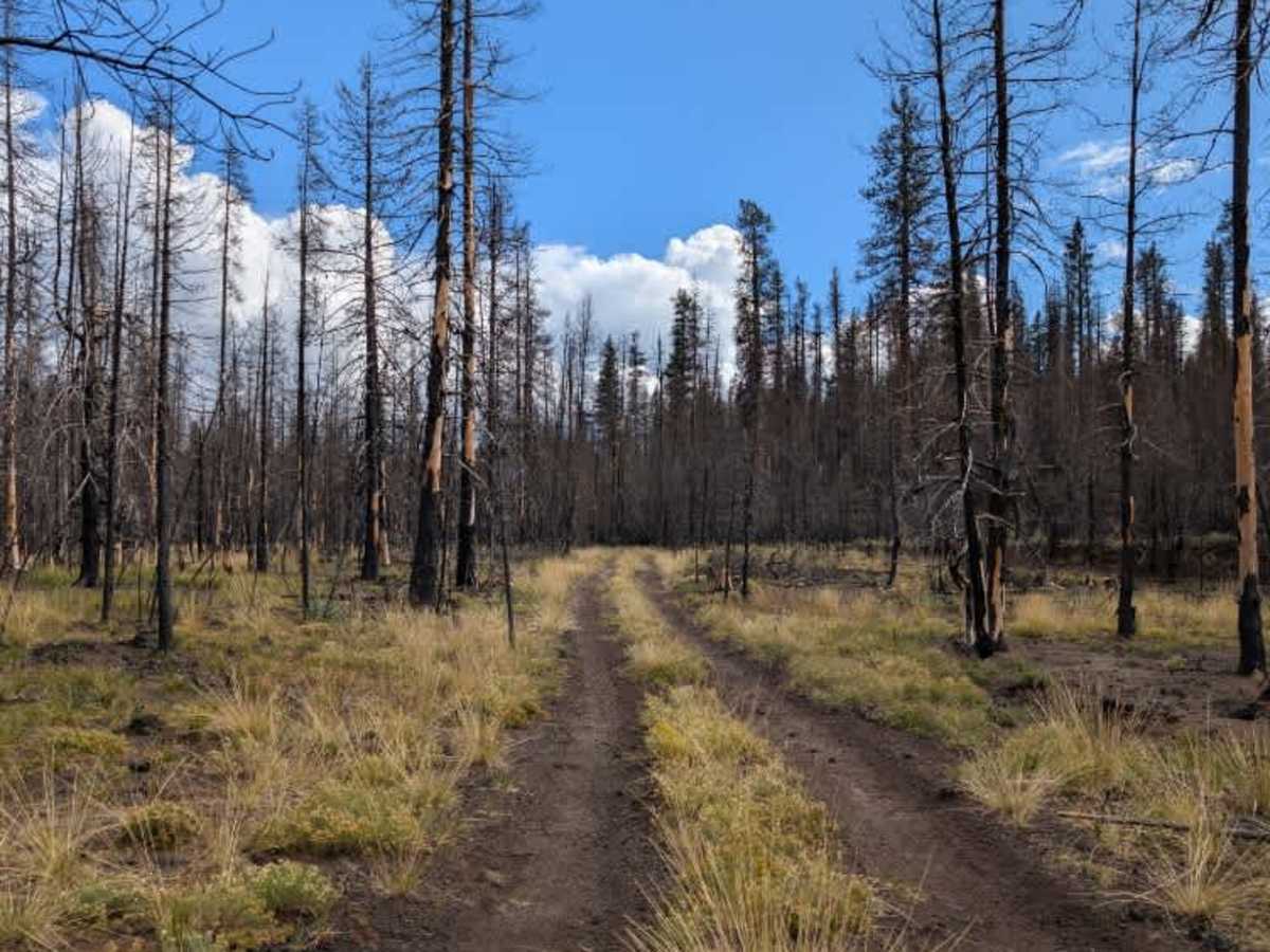
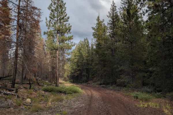
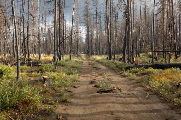
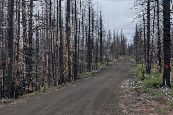
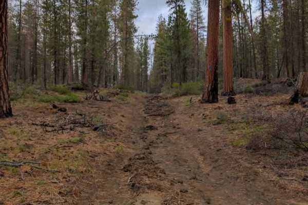
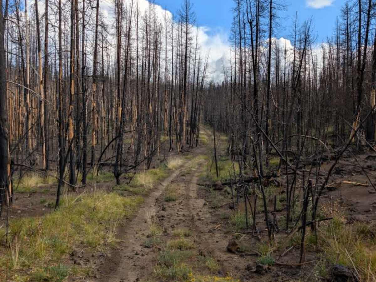
This small connector branches off the main arterial road FS 4030 and leads to FS 4525210. The route is primarily gravel and remains fairly manageable, with no major ruts but some bumps and uneven sections along the way. The surrounding area has been affected by a burn, leaving numerous fallen trees and other debris throughout the forest. Most burned debris remains off the main travel path, so the route is generally clear and easy to follow. At the intersection with FS 4525210, however, the connecting road becomes increasingly overgrown shortly after the junction, limiting access farther along. Keep watch for remaining debris and fallen trees as you travel through the burned area. ATVs, UTVs, Side-by-Sides, and Dirt Bikes must always have a valid California ATV Operating Permit sticker.

Photos of FS 4030500

Difficulty

The gravel surface makes this an easy trail, with some bumps and uneven sections.

Technical Rating

2

FS 4030500 Trail can be accessed by the following ride types:

  • Single Track
  • 50 Inch
  • 60 Inch
  • High Clearance
  • Full Width

FS 4030500 Map

The onX Offroad Difference

onX Offroad combines trail photos, descriptions, difficulty ratings, width restrictions, seasonality, and more in a user-friendly interface. Available on all devices, with offline access and full compatibility with CarPlay and Android Auto. Discover what you're missing today!

Open Trail Map