FS 4525050

Total Miles1.1
Technical Rating
3Easy
Best TimeSpring, Fall, Summer
Trail TypeFull-Width Road
Accessible By
Open Trail Map

Trail Overview

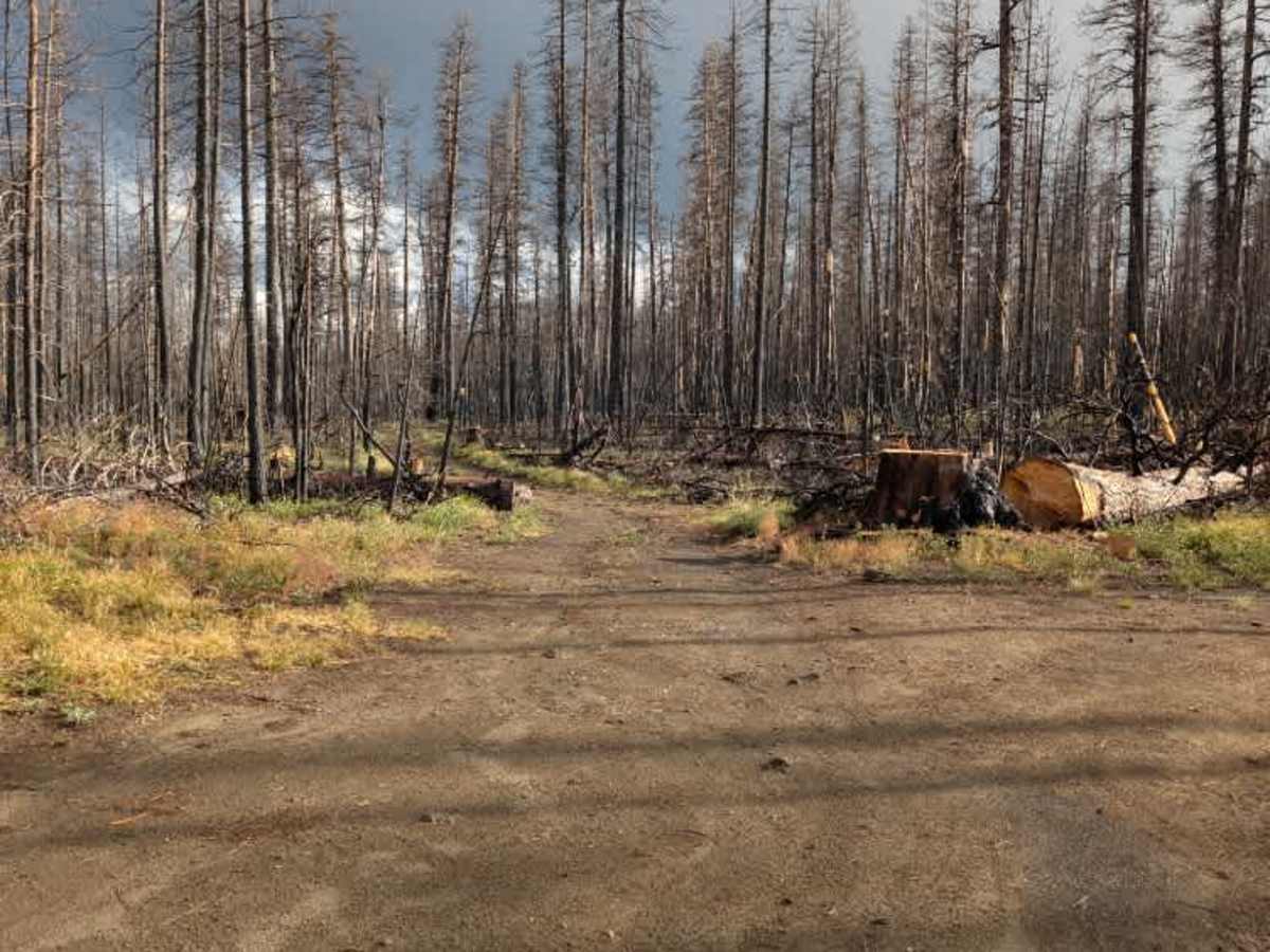
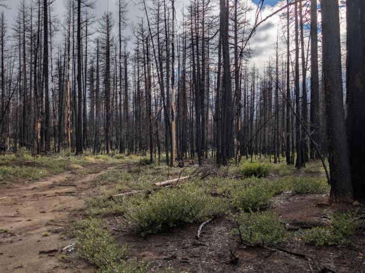
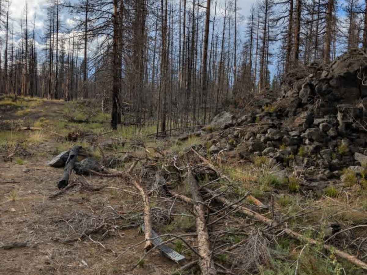
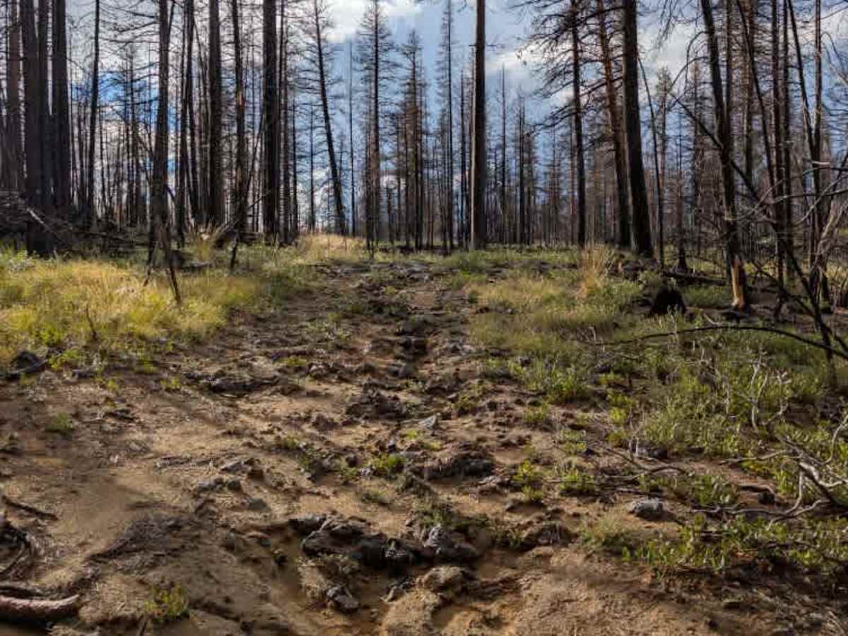
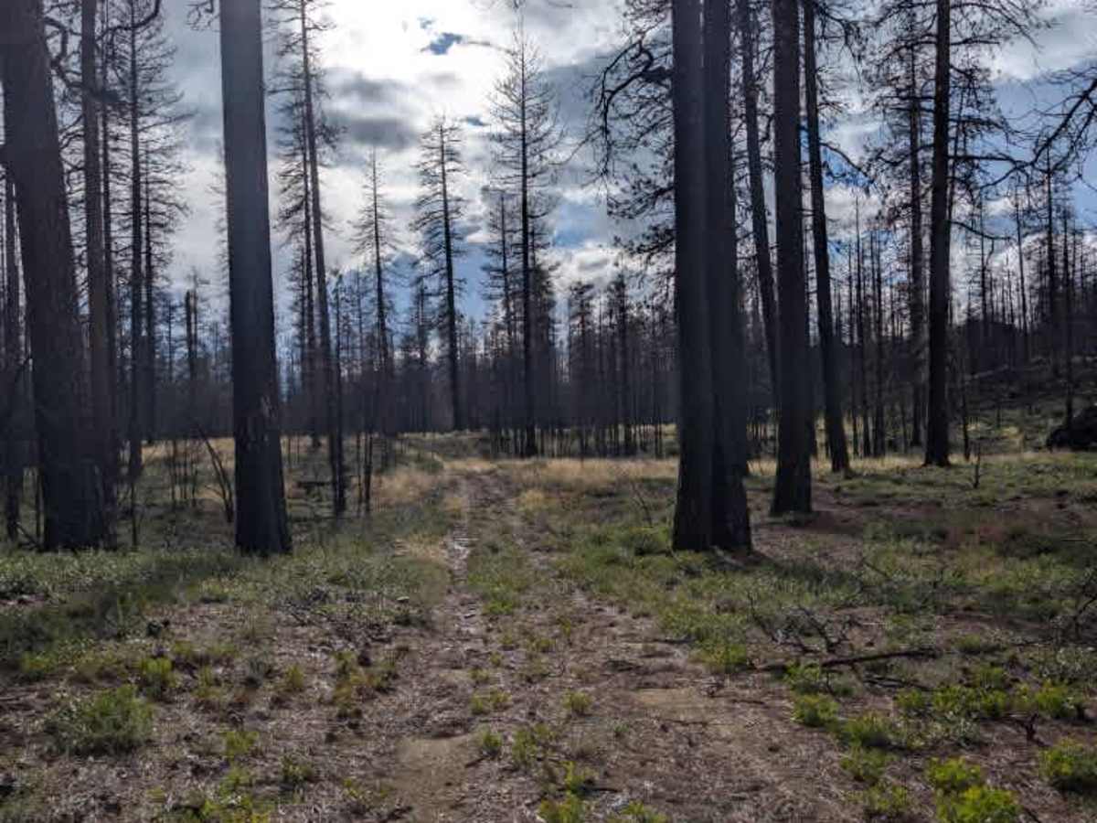
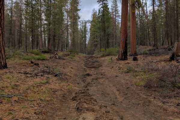
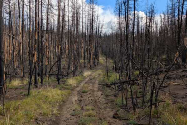
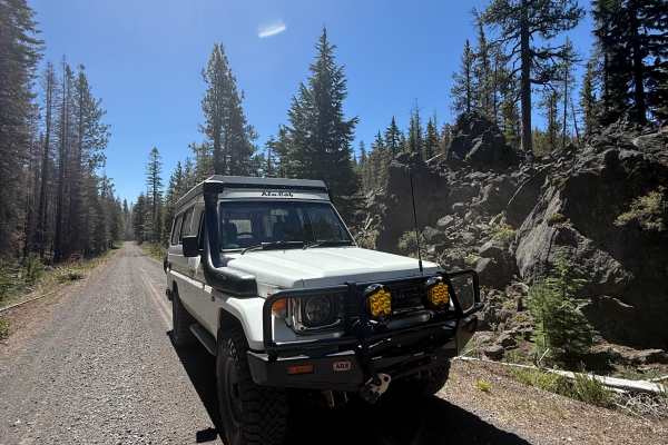
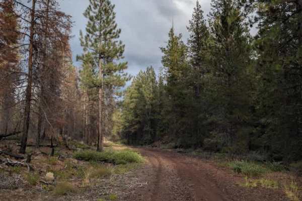
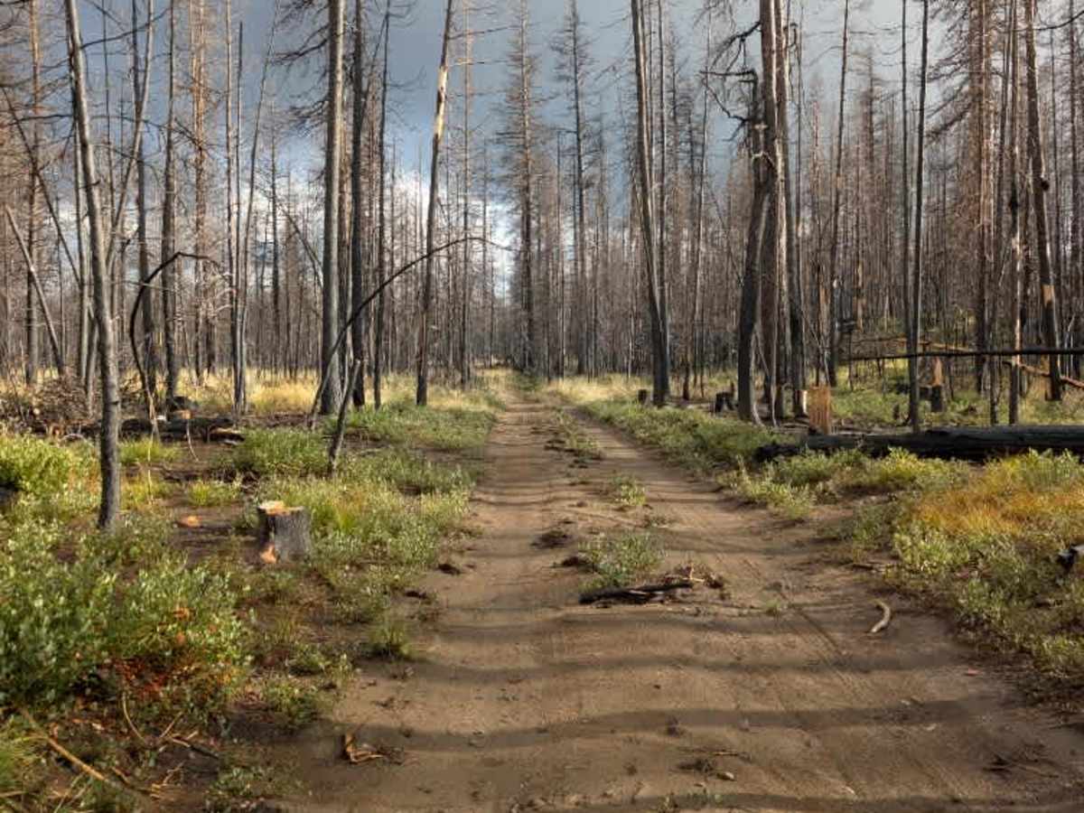
This trail cuts through a burned landscape and sections of exposed lava rock, creating a rough and rugged setting along the route. The road is quite overgrown in places, with vegetation encroaching on the travel path and making some sections feel narrower and less frequently used. Several trails that once branched off this route no longer appear to exist, so the route has fewer connections than the map may suggest. One particularly harsh rock section stands out along the route, with large, uneven rocks creating a challenging stretch that requires careful line selection and slow navigation. Outside of this section, the main concerns are the overgrowth and rough volcanic terrain. ATVs, UTVs, Side-by-Sides, and Dirt Bikes must always have a valid Oregon ATV Operating Permit sticker.

Photos of FS 4525050

Difficulty

The route is mostly straightforward, with some overgrowth and a harsh rock making one section slightly more challenging.

Technical Rating

3

FS 4525050 Trail can be accessed by the following ride types:

  • Single Track
  • 50 Inch
  • 60 Inch
  • High Clearance
  • Full Width

FS 4525050 Map

The onX Offroad Difference

onX Offroad combines trail photos, descriptions, difficulty ratings, width restrictions, seasonality, and more in a user-friendly interface. Available on all devices, with offline access and full compatibility with CarPlay and Android Auto. Discover what you're missing today!

Open Trail Map