FS 4050500

Total Miles2.1
Technical Rating
1Easy
Best TimeSpring, Fall, Summer
Trail TypeFull-Width Road
Accessible By
Open Trail Map

Trail Overview

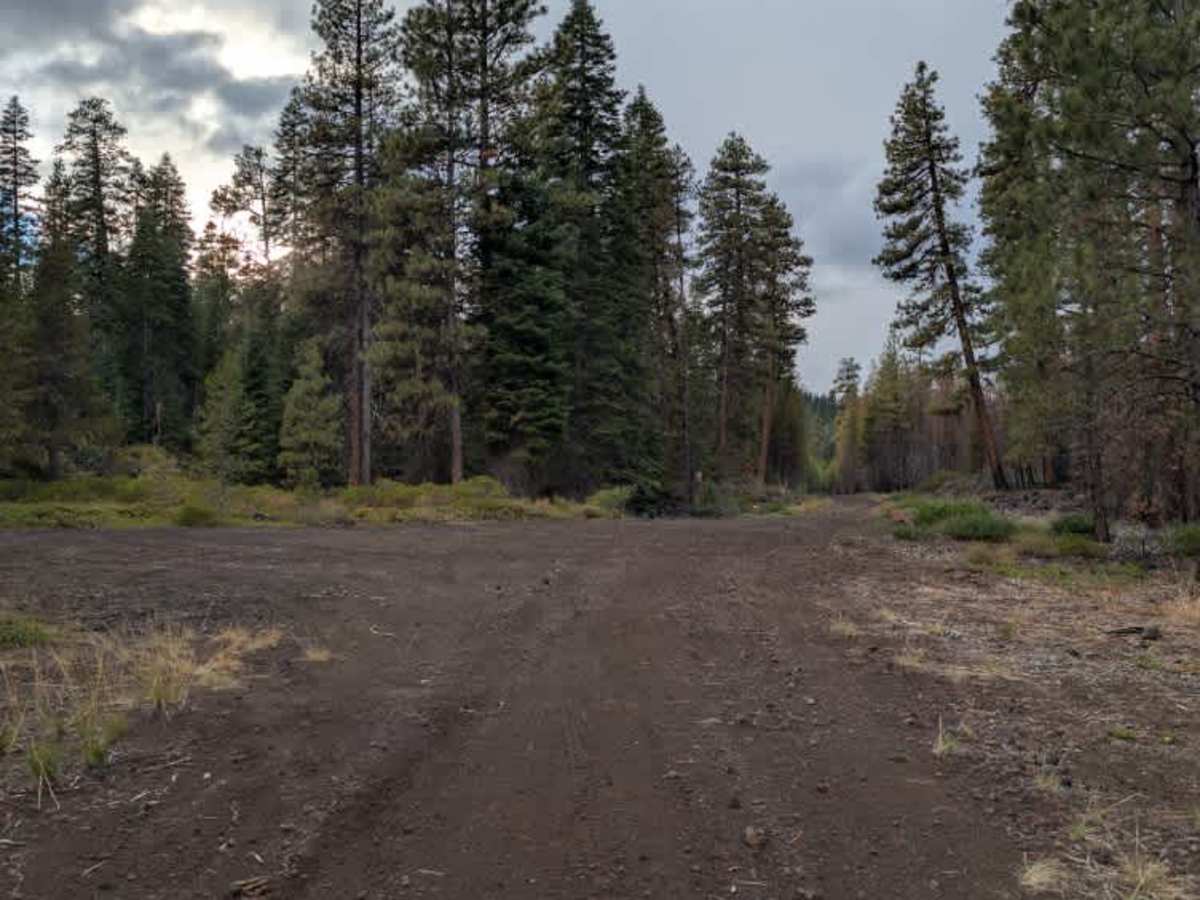
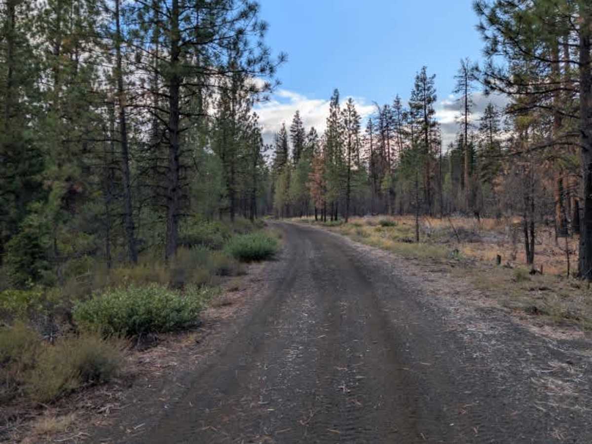
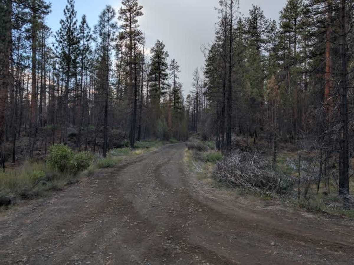
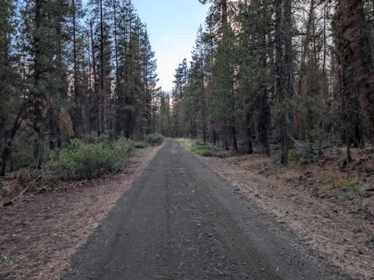
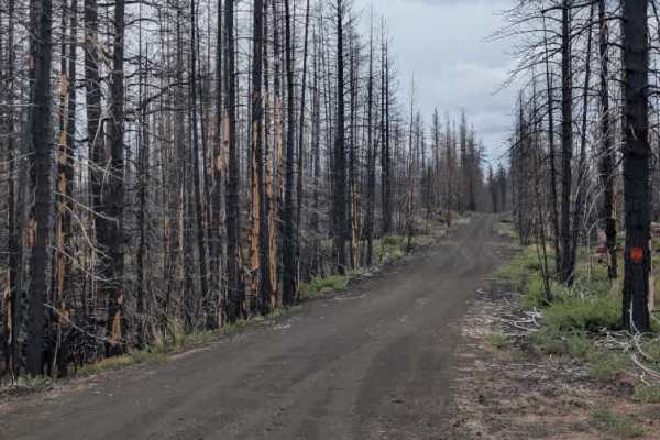
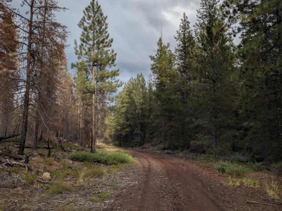
This short gravel connector links two main arterial routes and provides an easy way to travel between them. The road is generally smooth and uncomplicated, with no major debris, deep ruts, or significant obstacles. Some corners have visible tire grooves, but they do not create much of a challenge either. The gravel can get quite dusty, especially with other vehicle traffic, so use caution and leave plenty of space between vehicles. Watch for dust and the occasional uneven section as you make your way between the arterial routes. ATVs, UTVs, Side-by-Sides, and Dirt Bikes must always have a valid California ATV Operating Permit sticker.

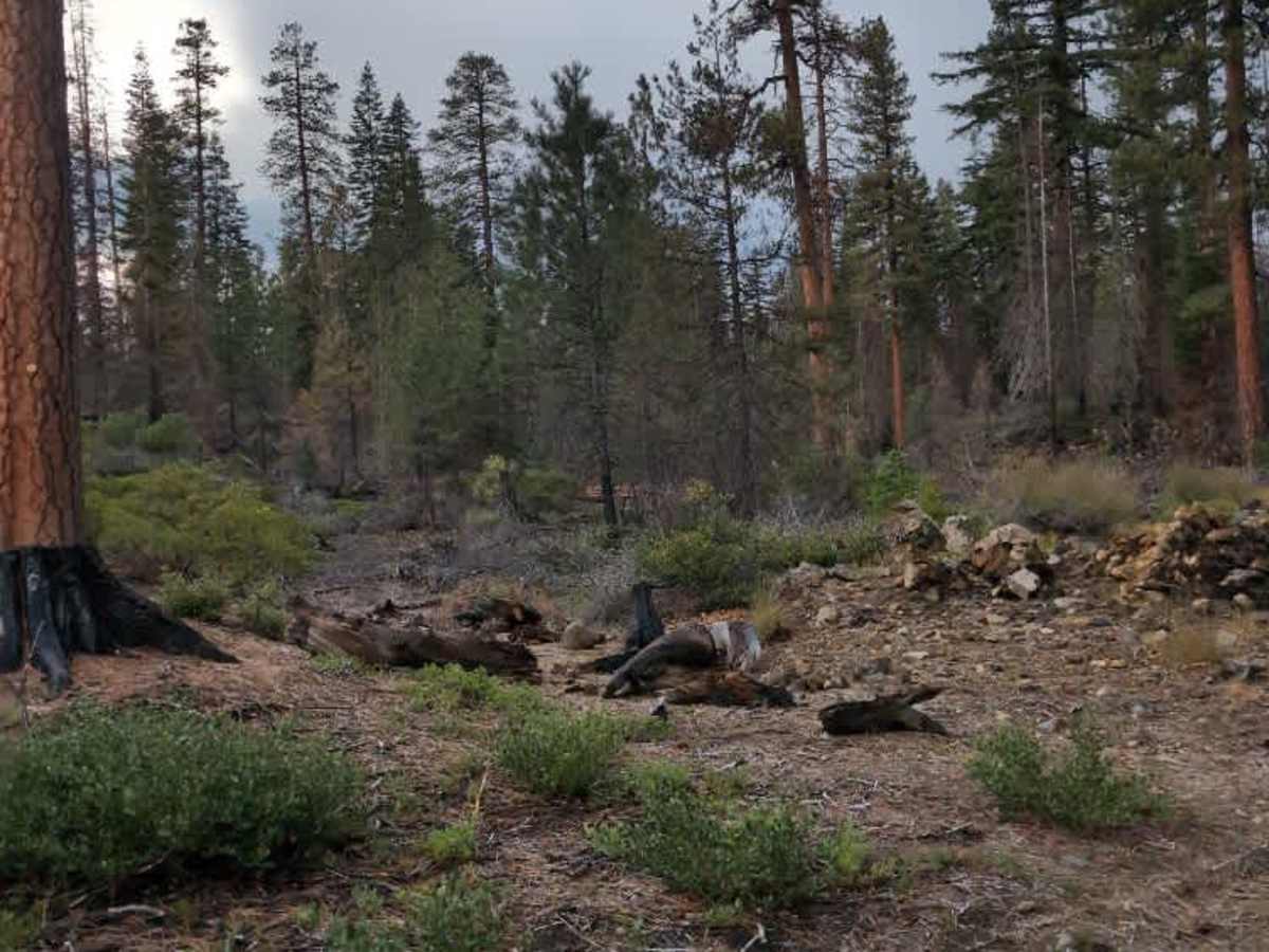
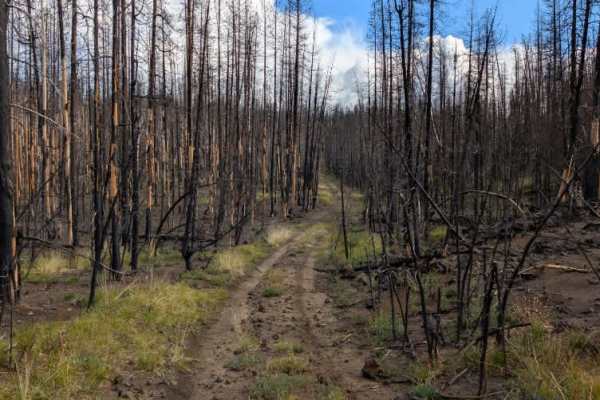
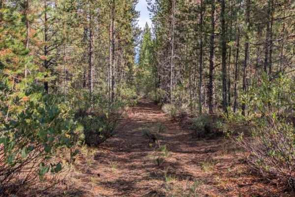
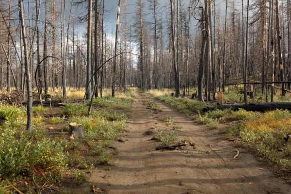
Photos of FS 4050500

Difficulty

The smooth surface and lack of major obstacles make this an easy trail.

Technical Rating

1

FS 4050500 Trail can be accessed by the following ride types:

  • Single Track
  • 50 Inch
  • 60 Inch
  • High Clearance
  • Full Width

FS 4050500 Map

The onX Offroad Difference

onX Offroad combines trail photos, descriptions, difficulty ratings, width restrictions, seasonality, and more in a user-friendly interface. Available on all devices, with offline access and full compatibility with CarPlay and Android Auto. Discover what you're missing today!

Open Trail Map