FS 4030300

Total Miles2.1
Technical Rating
2Easy
Best TimeSpring, Summer, Fall
Trail TypeFull-Width Road
Accessible By
Open Trail Map

Trail Overview

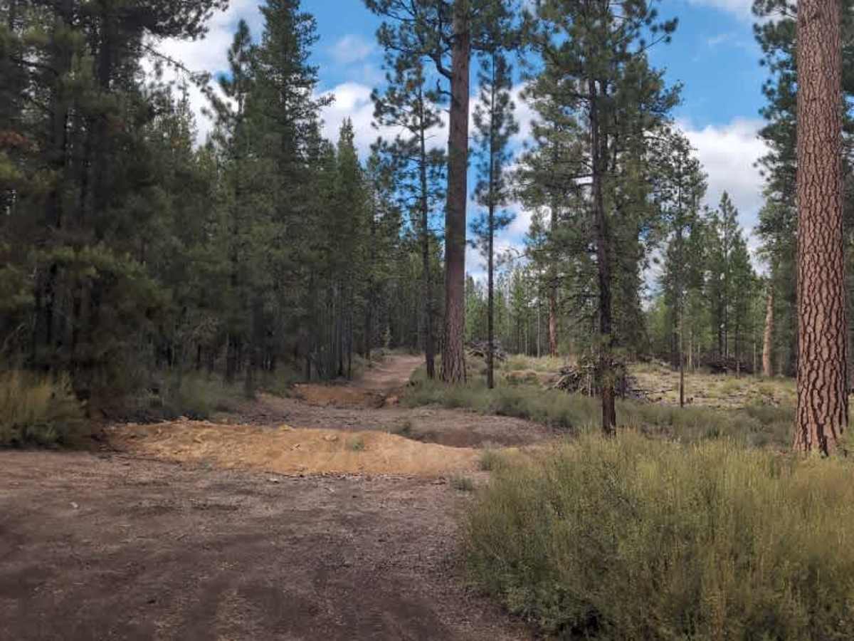
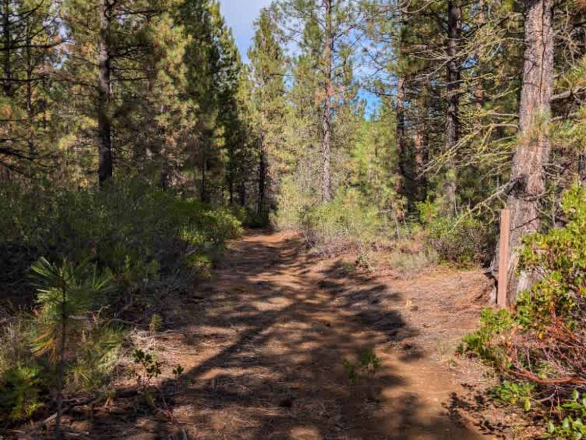
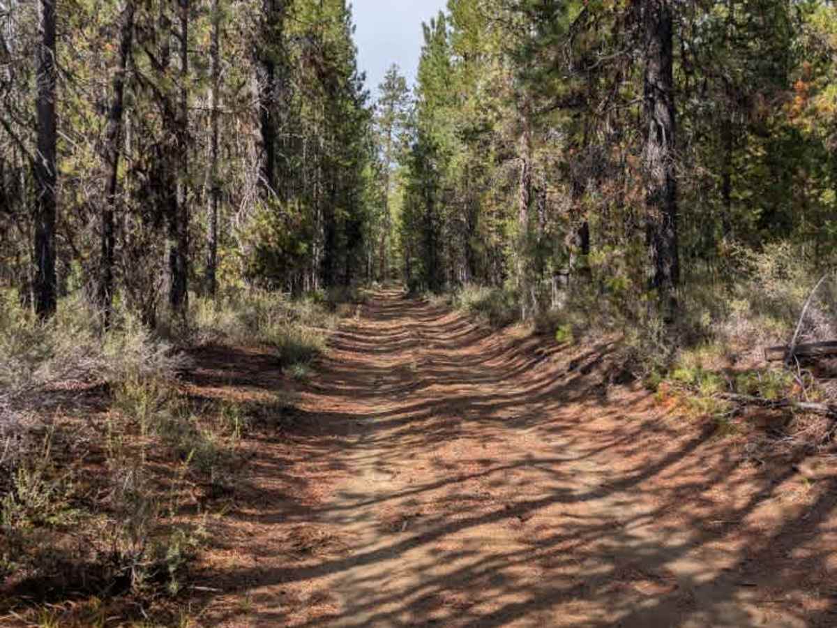
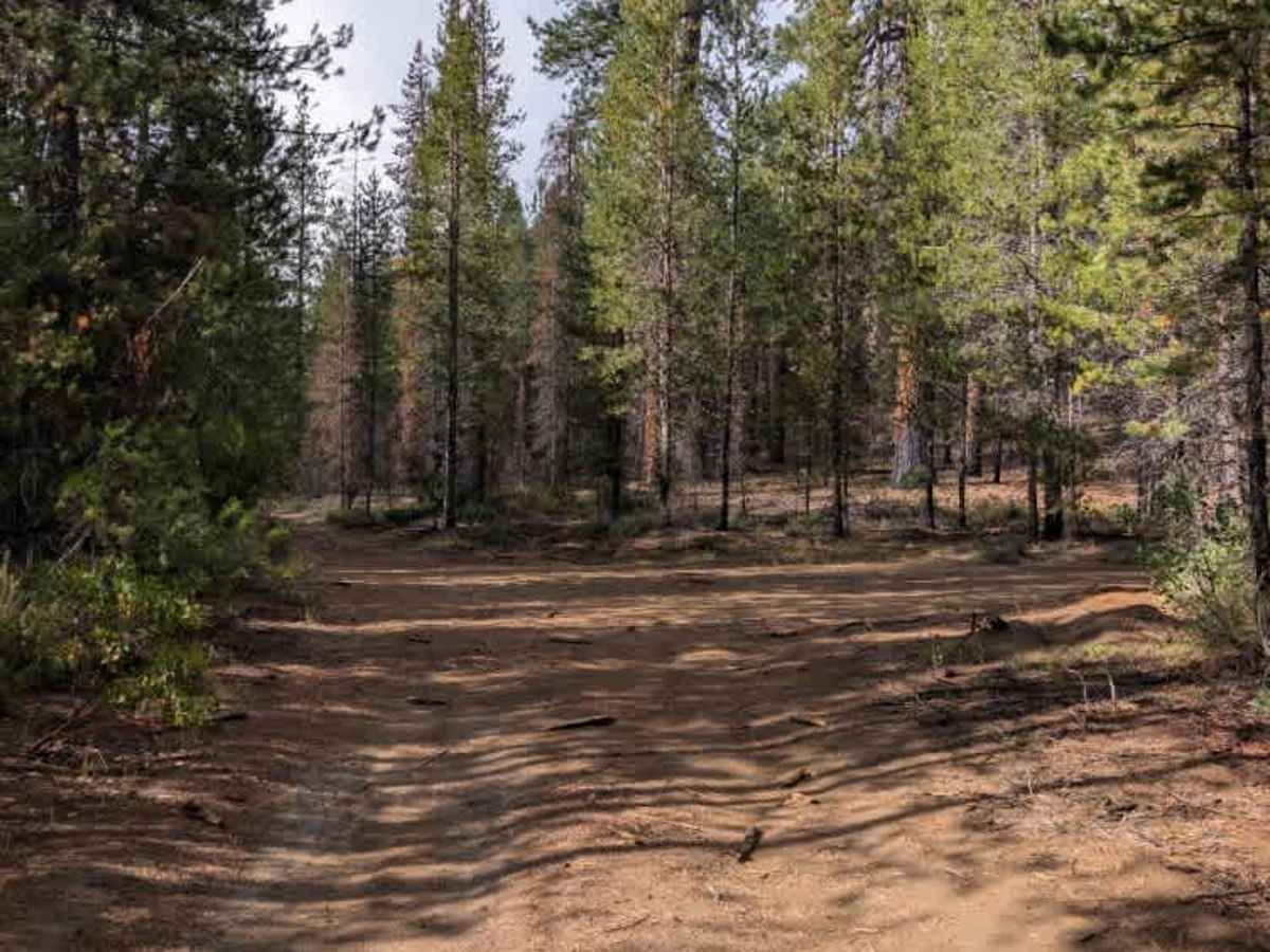
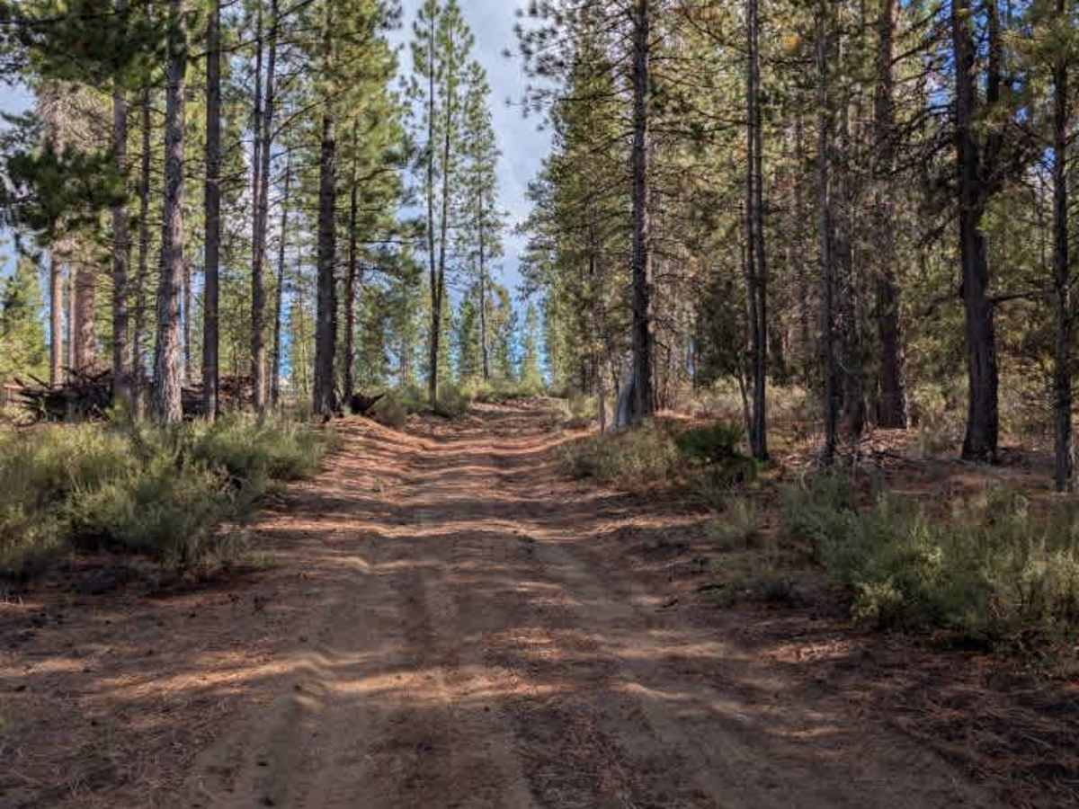
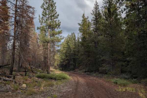
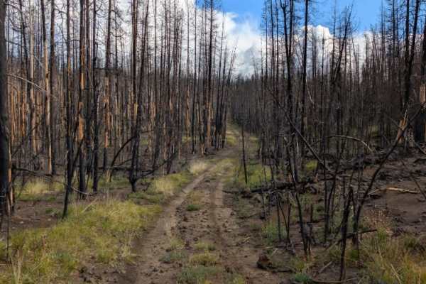
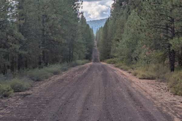
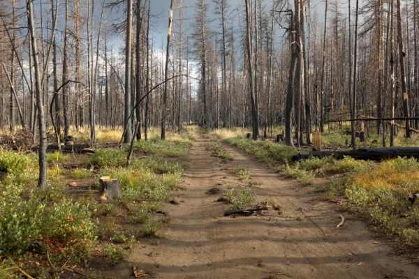
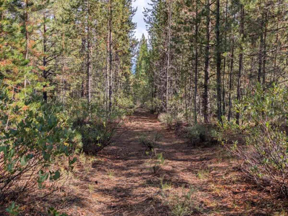
This winding trail connects to several other routes before terminating just short of the main road. Access from the south side is intentionally closed, and the trail does not connect back to FS 4030, making it effectively a dead-end route from this direction. The trail itself is generally straightforward, although one section becomes somewhat overgrown and can make passage a little more challenging. Beyond this area, the route remains relatively simple to navigate and connects to several other trails. No notable camping areas or other specific stopping points are available along the route. A turnaround point is available at the end, allowing you to turn around before returning the way you came. ATVs, UTVs, Side-by-Sides, and Dirt Bikes must always have a valid Oregon ATV Operating Permit sticker.

Photos of FS 4030300

Difficulty

The straightforward terrain makes this an easy trail, with some overgrowth requiring careful navigation.

Technical Rating

2

FS 4030300 Trail can be accessed by the following ride types:

  • Single Track
  • 50 Inch
  • 60 Inch
  • High Clearance
  • Full Width

FS 4030300 Map

The onX Offroad Difference

onX Offroad combines trail photos, descriptions, difficulty ratings, width restrictions, seasonality, and more in a user-friendly interface. Available on all devices, with offline access and full compatibility with CarPlay and Android Auto. Discover what you're missing today!

Open Trail Map