FS 4251400

Total Miles2.2
Technical Rating
2Easy
Best TimeSpring, Summer, Fall
Trail TypeFull-Width Road
Accessible By
Open Trail Map

Trail Overview

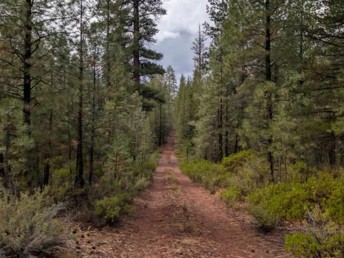
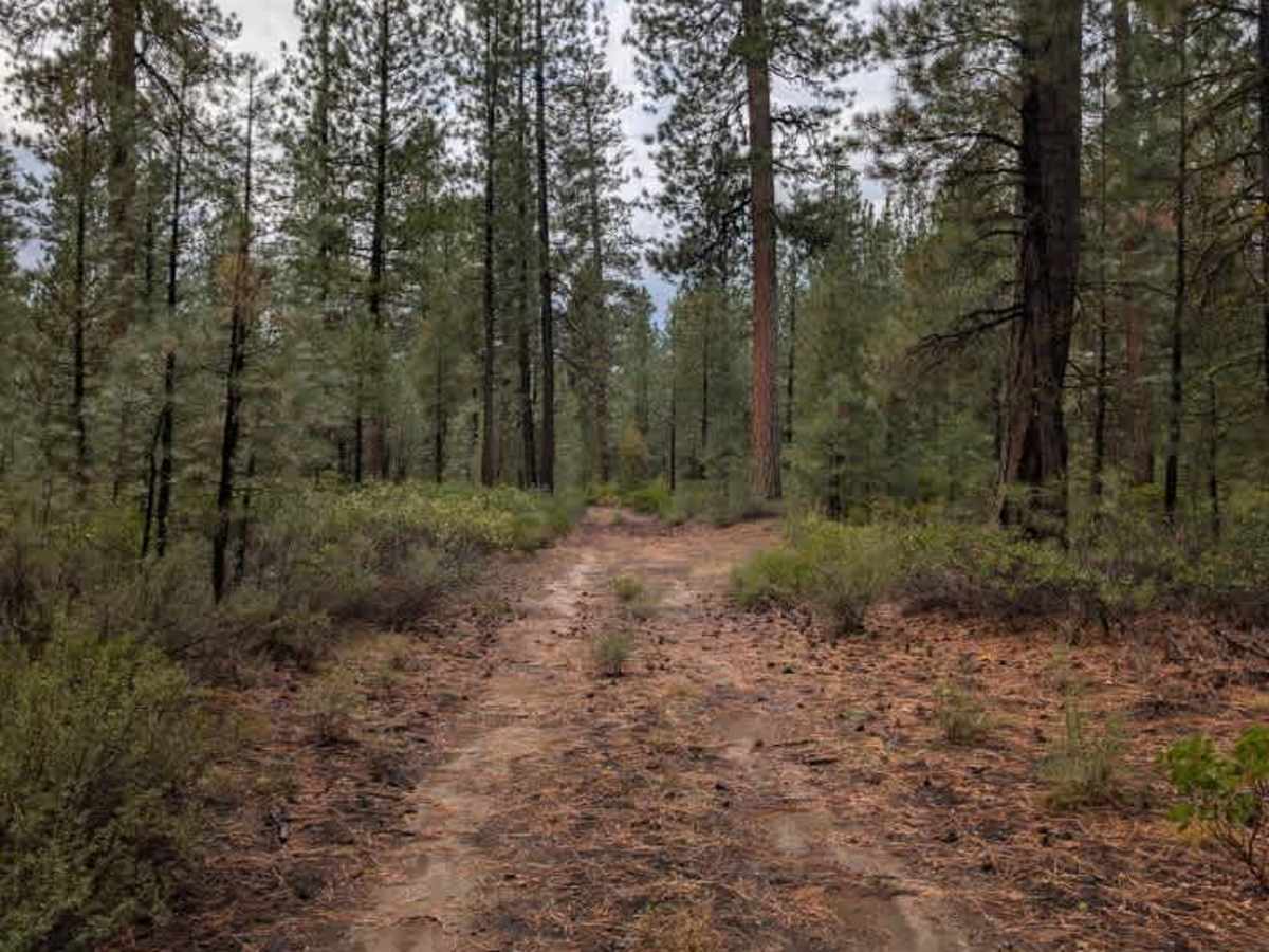
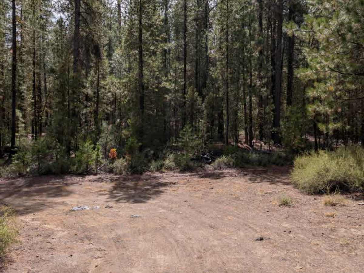
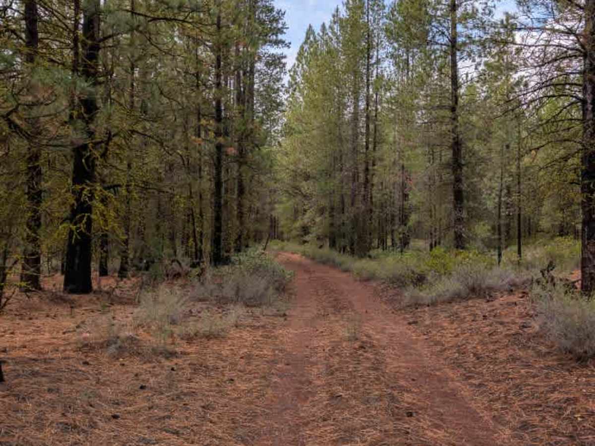
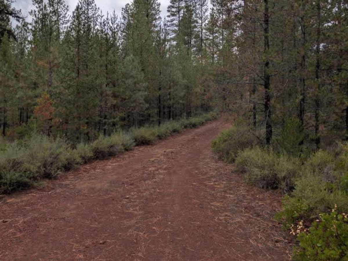
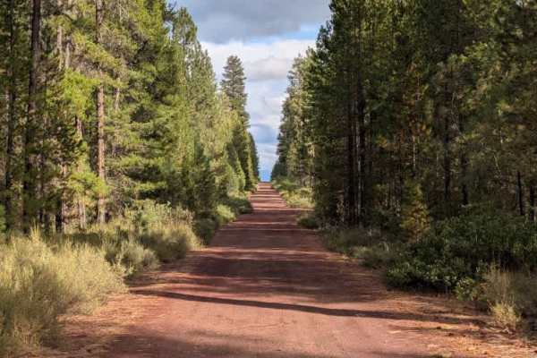
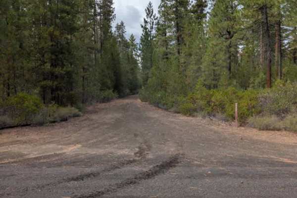
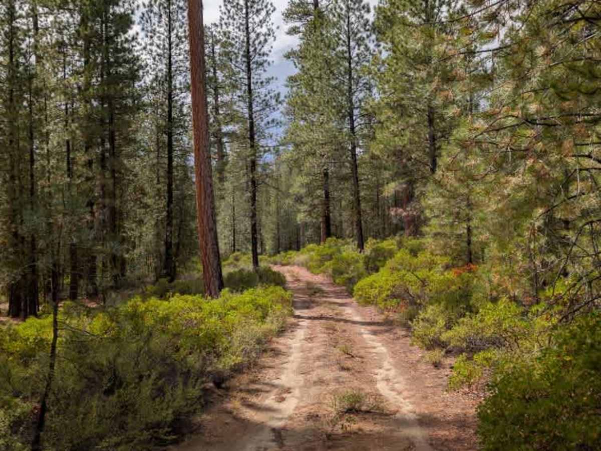
This unmaintained path connects to roads at both ends and offers a fairly easy route through the alpine terrain. The surface varies along the way, with sandy sections at the western end and areas of red gravel farther along. Rocks and ruts appear throughout, but nothing particularly difficult. A few sections are noticeably tighter than the rest, with enough room in some areas to potentially pull off and disperse camp, as permitted along the route. The MVUM shows several trails branching from this road that are not currently represented on the map; at least three of these routes had open gates during the trip, but you should verify their access status before traveling them. The sandy portions of this trail are not especially dusty under current conditions, but they are likely to become quite dusty during the dry season. ATVs, UTVs, Side-by-Sides, and Dirt Bikes must always have a valid Oregon ATV Operating Permit sticker.

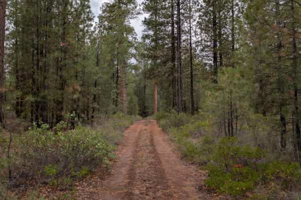
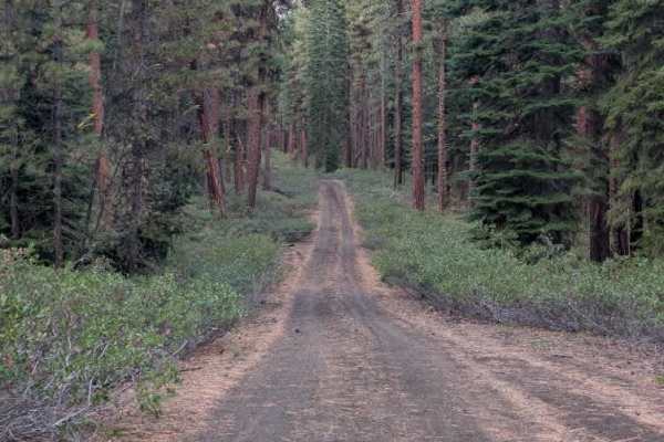
Photos of FS 4251400

Difficulty

The trail is generally easy, with some rocks, ruts, and tighter sections requiring extra attention.

Technical Rating

2

FS 4251400 Trail can be accessed by the following ride types:

  • Single Track
  • 50 Inch
  • 60 Inch
  • High Clearance
  • Full Width

FS 4251400 Map

The onX Offroad Difference

onX Offroad combines trail photos, descriptions, difficulty ratings, width restrictions, seasonality, and more in a user-friendly interface. Available on all devices, with offline access and full compatibility with CarPlay and Android Auto. Discover what you're missing today!

Open Trail Map