Trail Overview
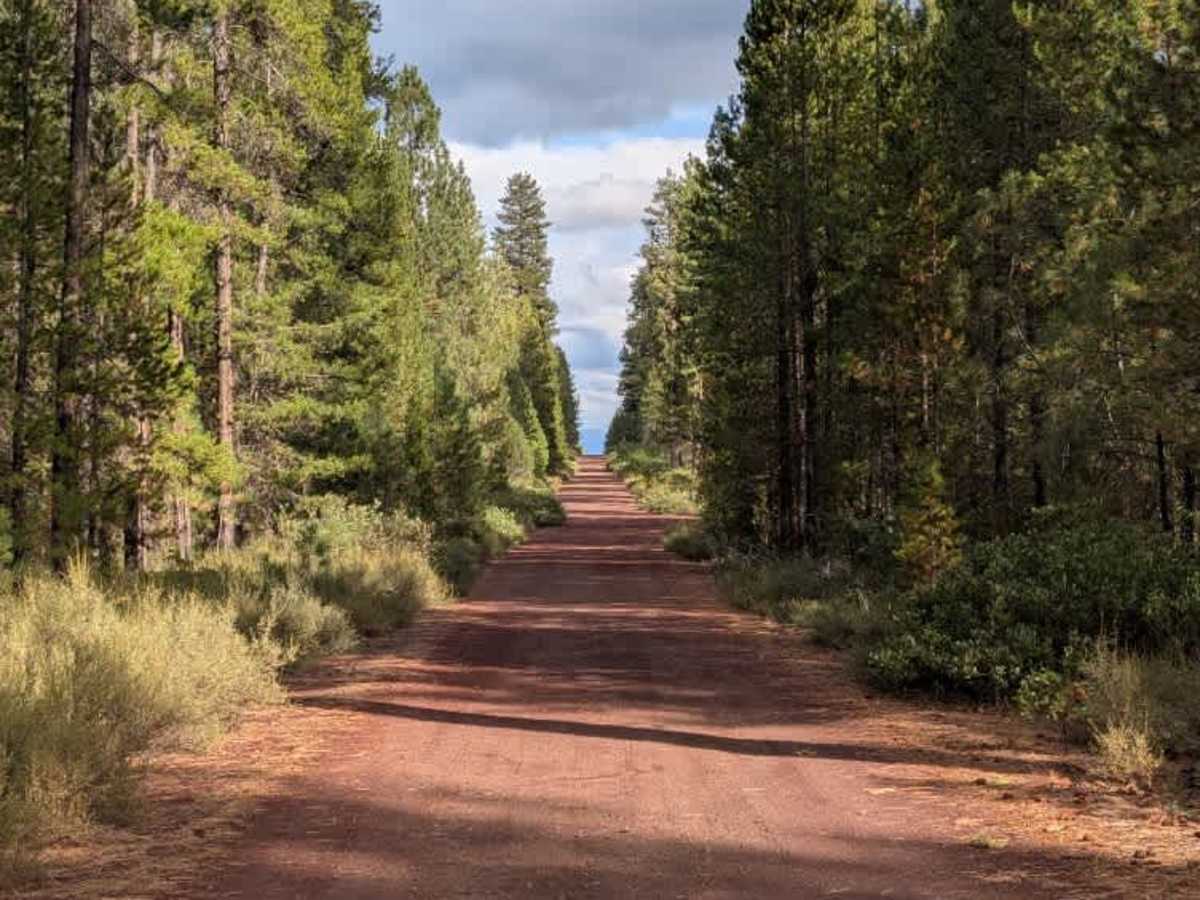
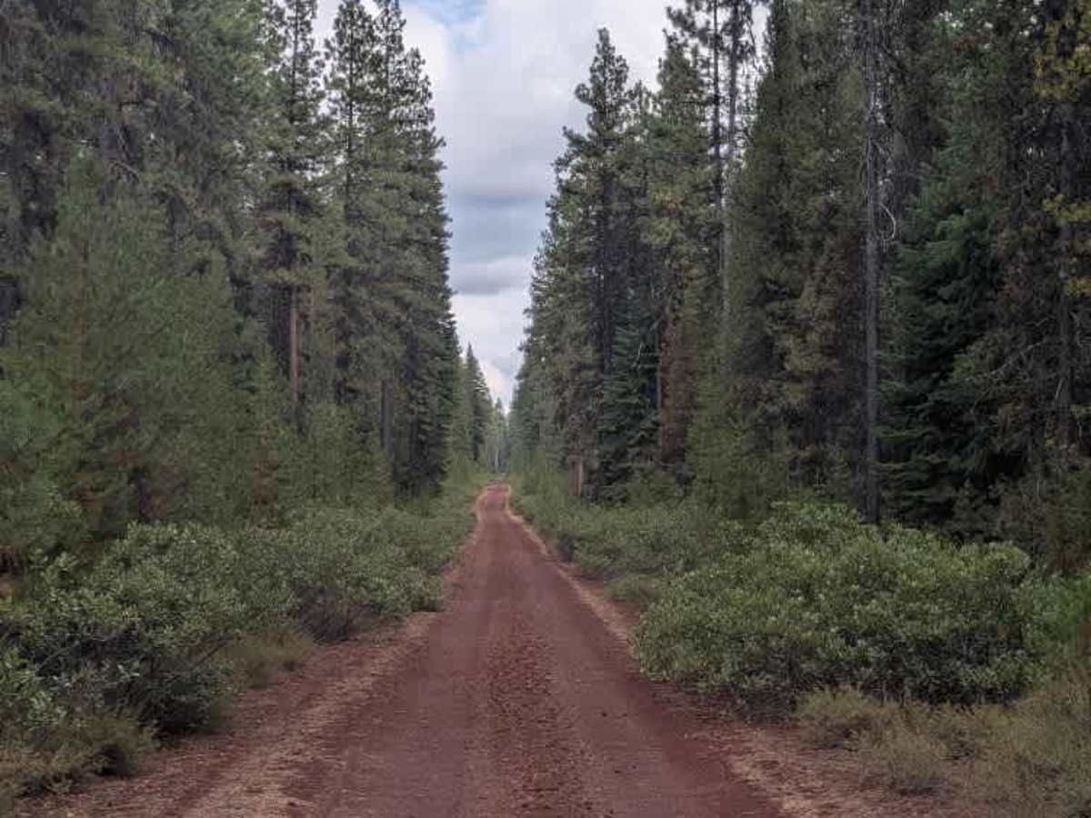
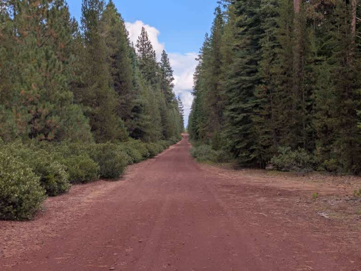
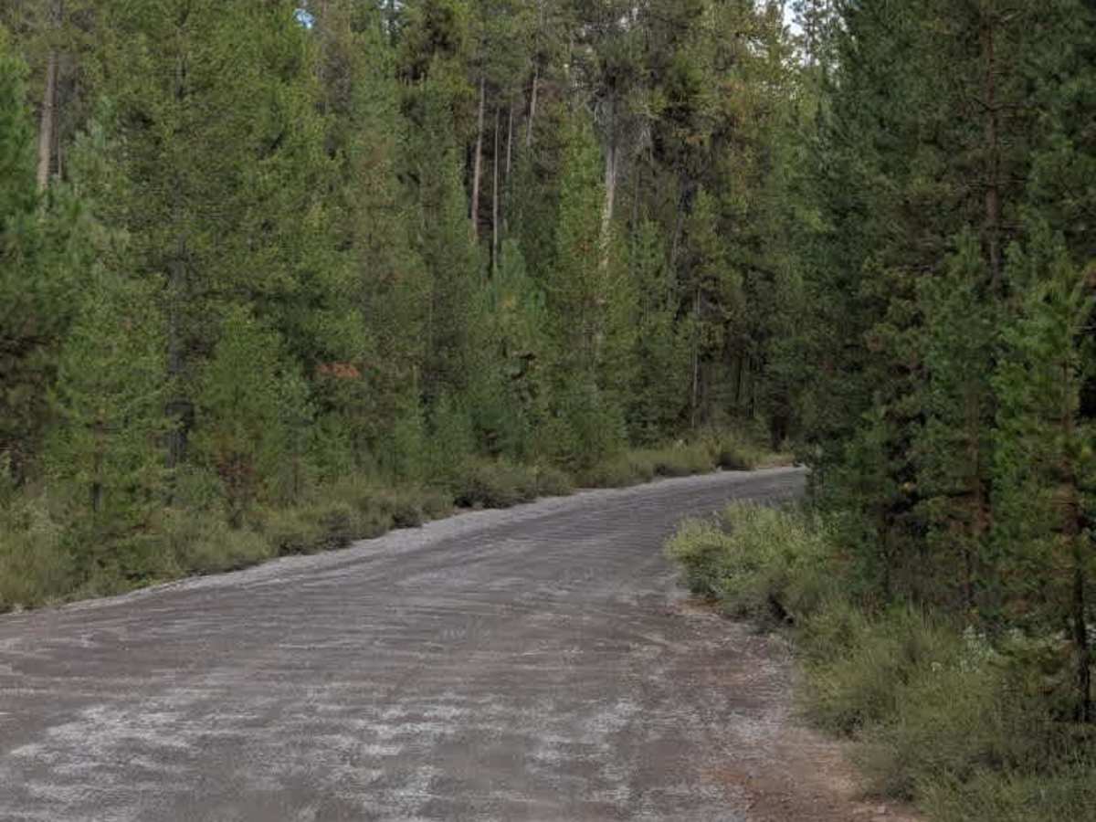
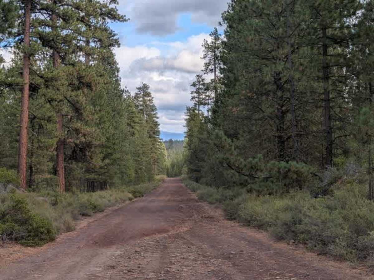
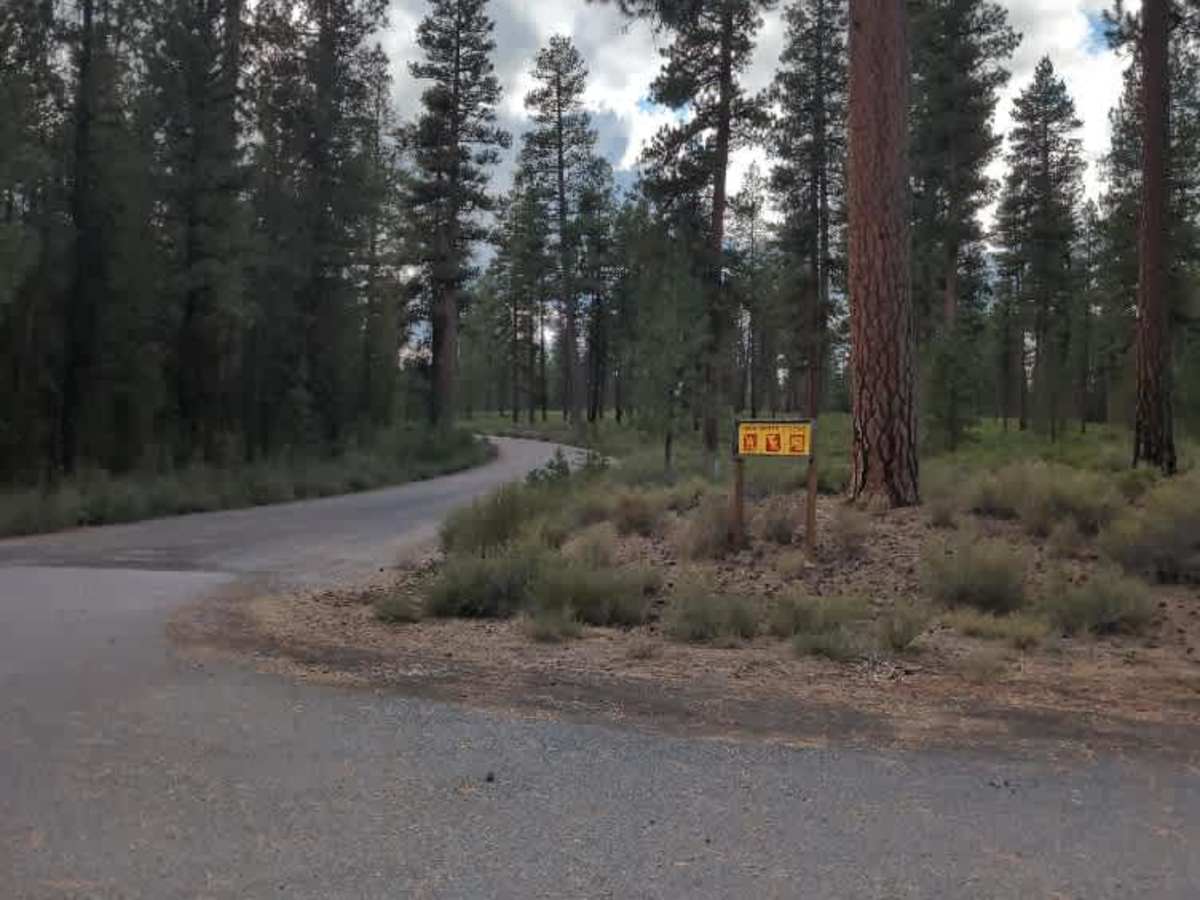
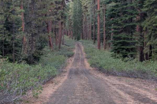
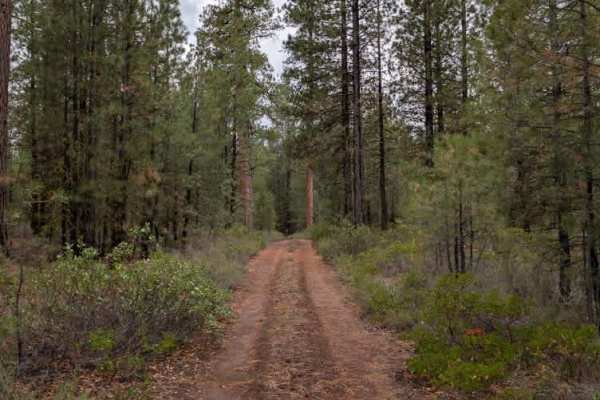
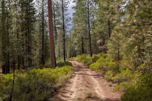
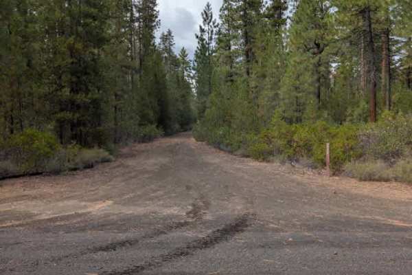
This trail is mostly well-maintained gravel. It connects with several other routes, including Highway 42 and the paved FS 4270, making it a useful route for reaching different areas of the trail system. While much of the route is in good condition, several dips and sections of water-related erosion remain, particularly on inclines and declines. After the intersection with FS 4040000, one section becomes noticeably rougher after climbing a hill, with ruts, uneven terrain, exposed rock, and encroaching vegetation. Low spots elsewhere along the road also have rocks protruding through the surface or erosion that has caused the road to deteriorate. Use extra caution when approaching hills, as some of the rougher sections occur either on the incline itself or immediately afterward. ATVs, UTVs, Side-by-Sides, and Dirt Bikes must always have a valid Oregon ATV Operating Permit sticker.
Difficulty
The trail is mostly easy, with ruts, exposed rocks, and erosion creating rougher sections around some hills.