FS 4240000

Total Miles5.3
Technical Rating
2Easy
Best TimeSpring, Summer, Fall
Trail TypeFull-Width Road
Accessible By
Open Trail Map

Trail Overview

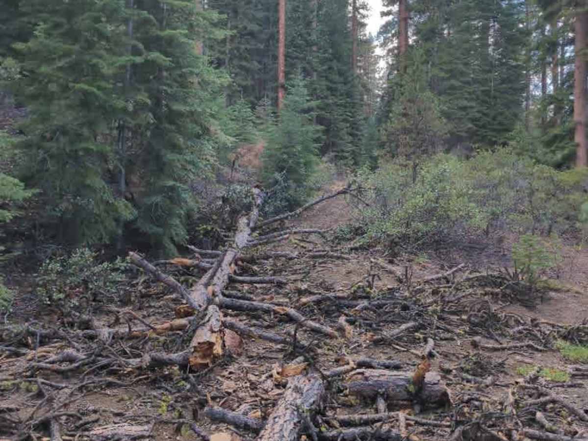
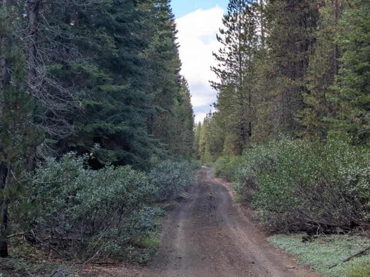
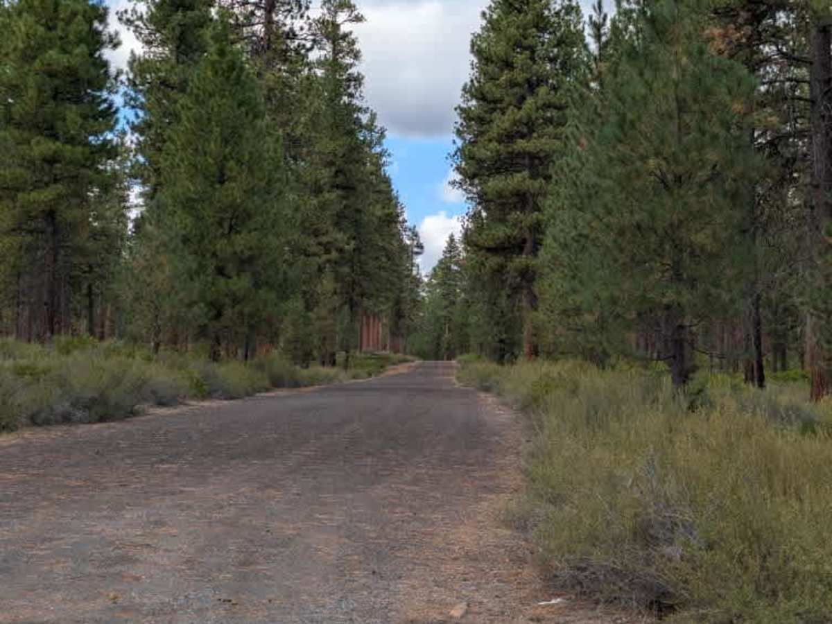
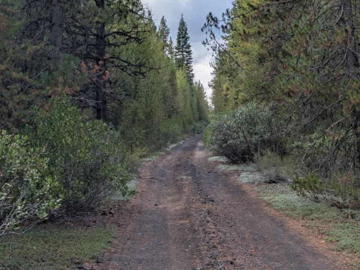
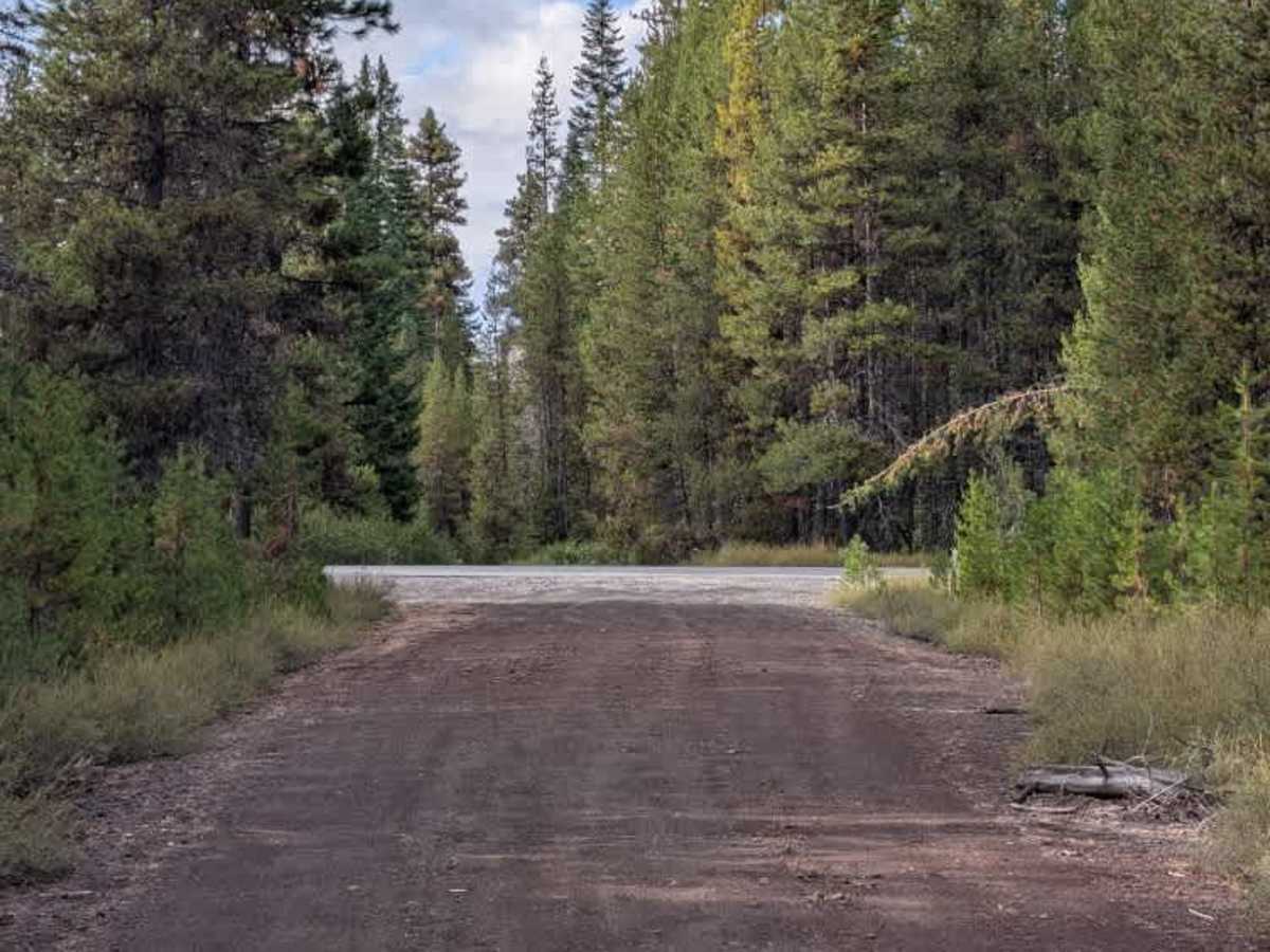
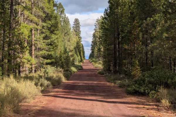
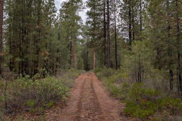
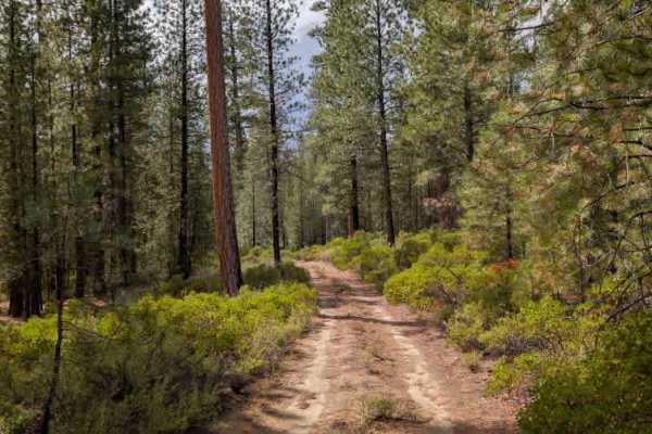
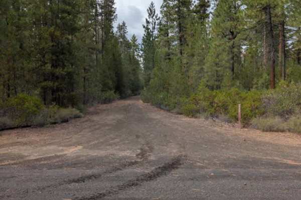
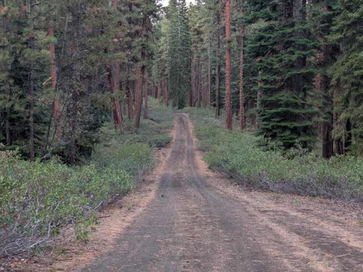
This unmaintained arterial road starts as mostly gravel, then gradually transitions into a mix of dirt and gravel. Traveling north from the highway near the Fall River Campground, the road starts wide and offers plenty of room for vehicles. After the intersection with FS 4040, it narrows somewhat but remains a substantial road. The route continues this way until it reaches the intersection with FS 4245, where it narrows significantly. Beyond FS 4245, the road becomes more challenging, with a degraded incline containing ruts that require careful navigation. Branches and tree pieces also extend close to the roadway, although no trees or debris completely blocked the travel path. Vegetation along the edges could be an issue for wider-than-normal rigs, so drivers of larger vehicles should expect pinstriping. These conditions apply to travel from south to north toward Highway 40, where the route terminates. ATVs, UTVs, Side-by-Sides, and Dirt Bikes must always have a valid Oregon ATV Operating Permit sticker.

Photos of FS 4240000

Difficulty

The trail starts easy but becomes more challenging due to a degraded, rutted incline and tighter conditions along the route.

Technical Rating

2

FS 4240000 Trail can be accessed by the following ride types:

  • Single Track
  • 50 Inch
  • 60 Inch
  • High Clearance
  • Full Width

FS 4240000 Map

The onX Offroad Difference

onX Offroad combines trail photos, descriptions, difficulty ratings, width restrictions, seasonality, and more in a user-friendly interface. Available on all devices, with offline access and full compatibility with CarPlay and Android Auto. Discover what you're missing today!

Open Trail Map