FS 4251100

Total Miles2.6
Technical Rating
2Easy
Best TimeSpring, Summer, Fall
Trail TypeFull-Width Road
Accessible By
Open Trail Map

Trail Overview

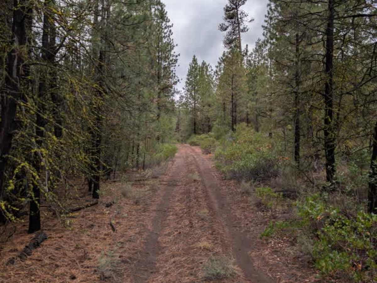
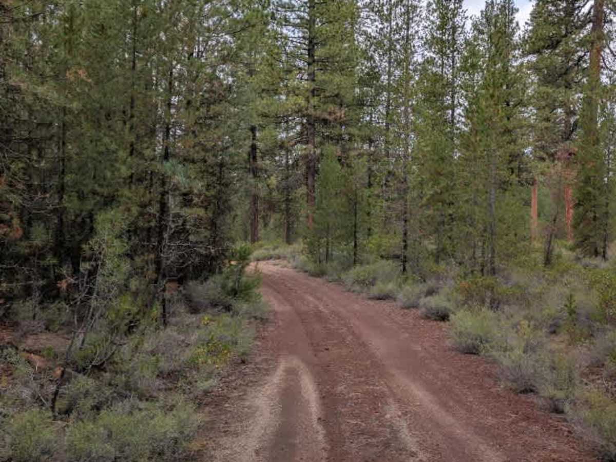
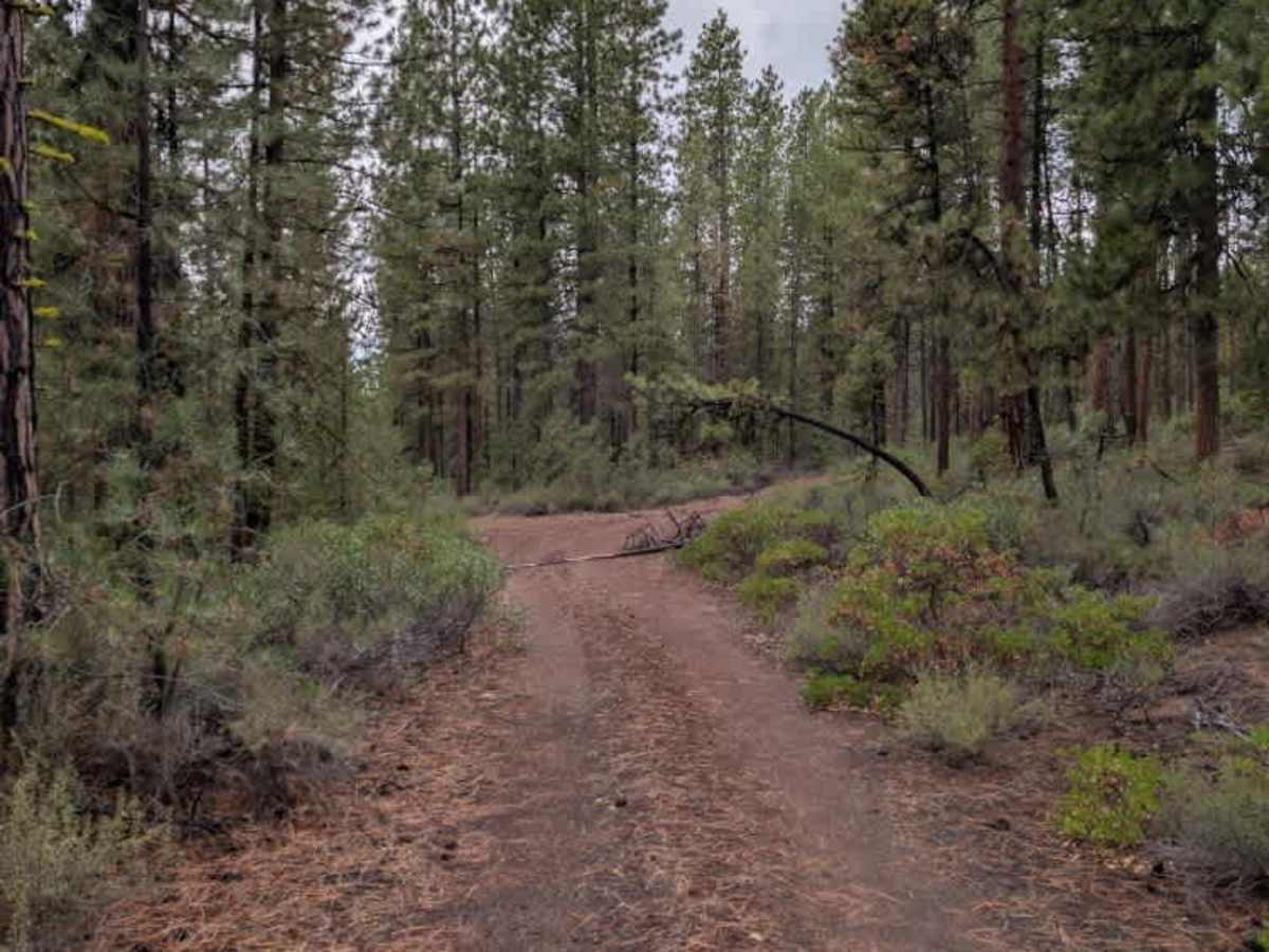
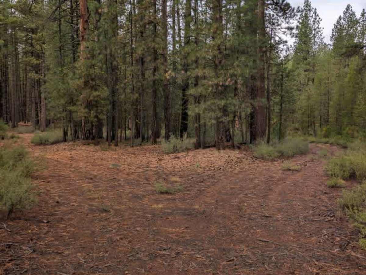
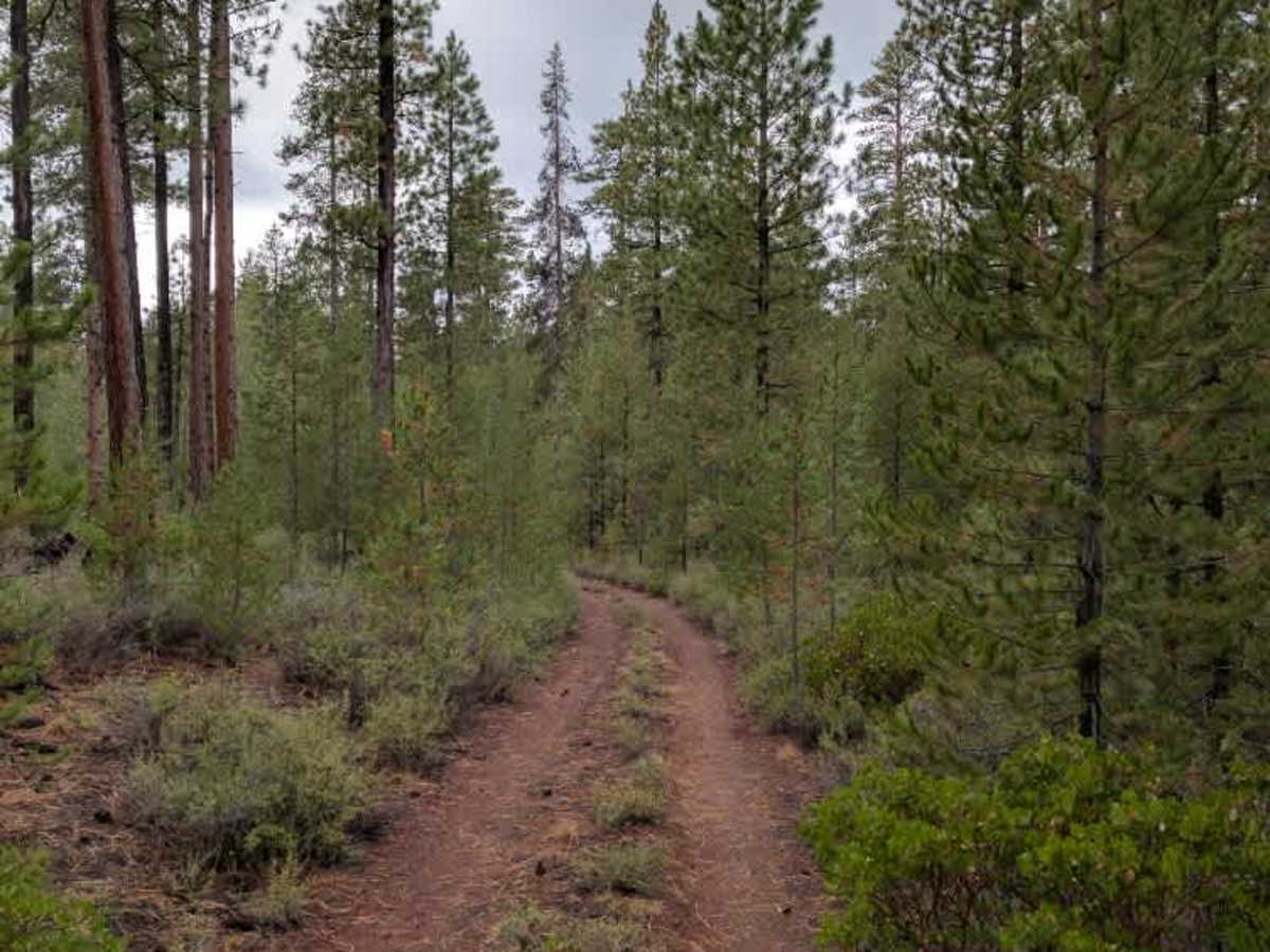
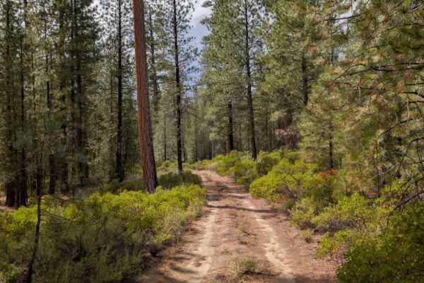
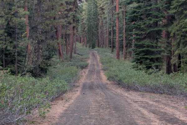
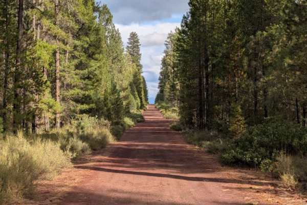
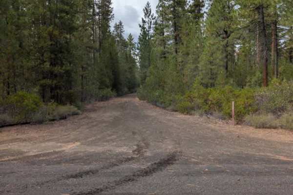
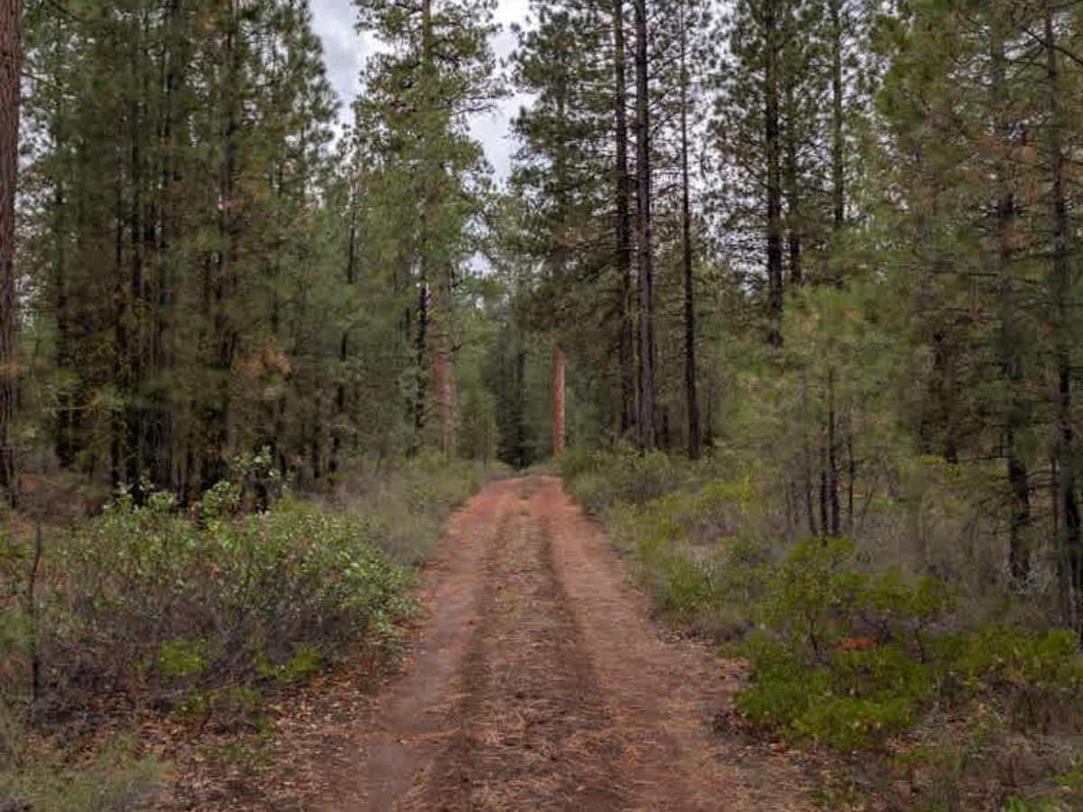
The route is a beautiful alpine road with a red gravel surface and several areas that appear suitable for dispersed camping. Dispersed camping is permitted along the route, although it is unclear whether that applies beyond the open gate, so approach camping in that section with caution. The road itself is generally easy to navigate, with no major debris or significant obstacles. One fallen tree crossed the roadway, but it was small enough to drive over without much difficulty. This trail is somewhat unusual because the MVUM map shows it ending at the intersection with FS 4251150. However, when reaching that point, the gate was open, allowing the route to continue beyond the mapped endpoint. The road continued for about two more miles before reaching a turnaround at the end of the trail, forming a small loop. ATVs, UTVs, Side-by-Sides, and Dirt Bikes must always have a valid Oregon ATV Operating Permit sticker.

Photos of FS 4251100

Difficulty

The trail is generally easy, with only a small fallen tree creating a minor obstacle.

Technical Rating

2

FS 4251100 Trail can be accessed by the following ride types:

  • Single Track
  • 50 Inch
  • 60 Inch
  • High Clearance
  • Full Width

FS 4251100 Map

The onX Offroad Difference

onX Offroad combines trail photos, descriptions, difficulty ratings, width restrictions, seasonality, and more in a user-friendly interface. Available on all devices, with offline access and full compatibility with CarPlay and Android Auto. Discover what you're missing today!

Open Trail Map