Trail Overview
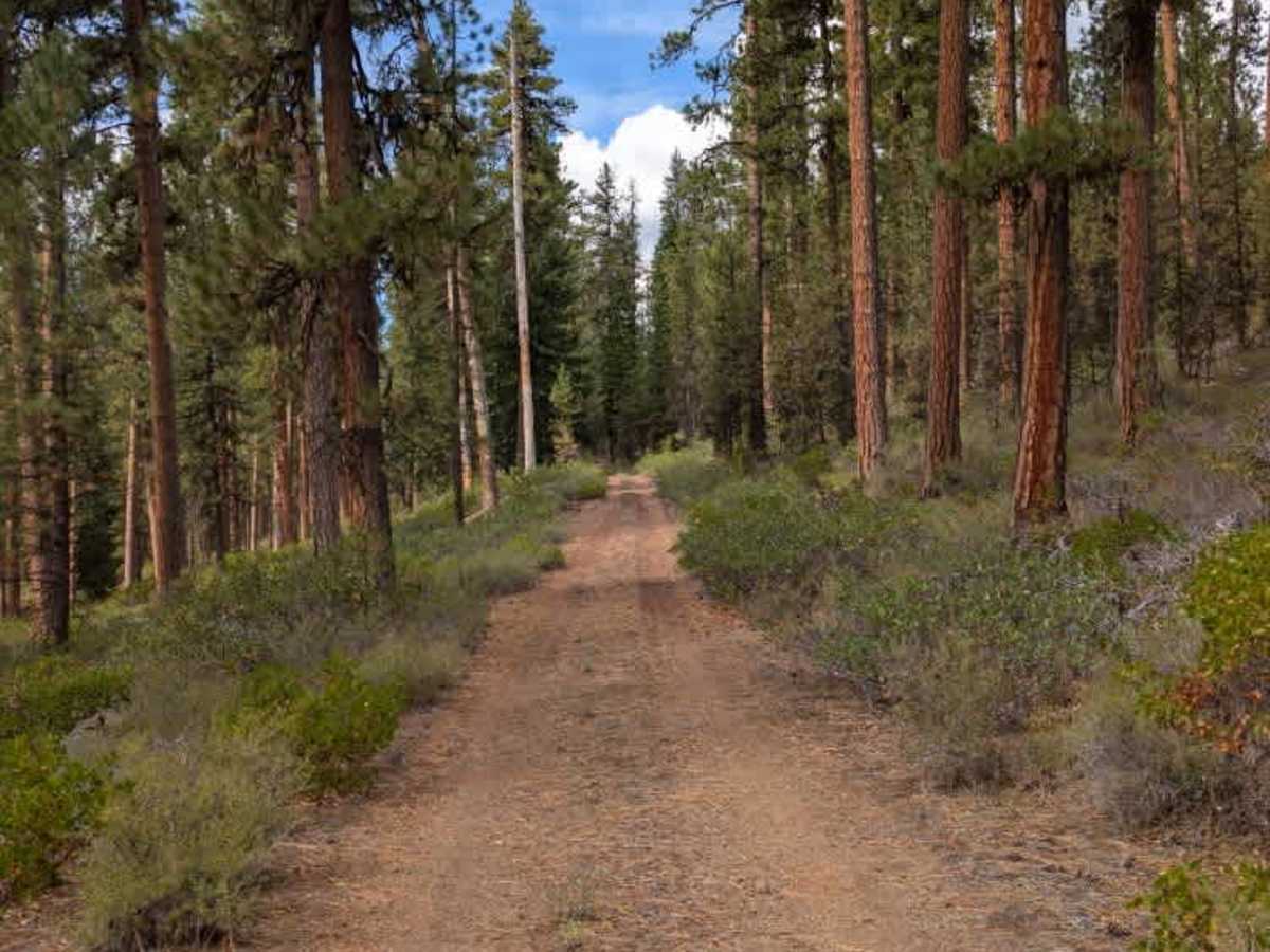
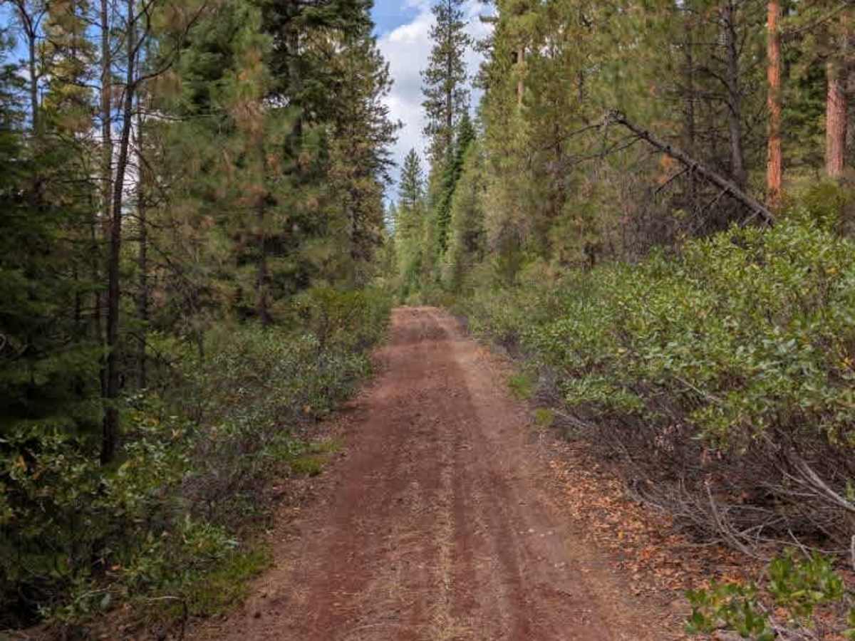
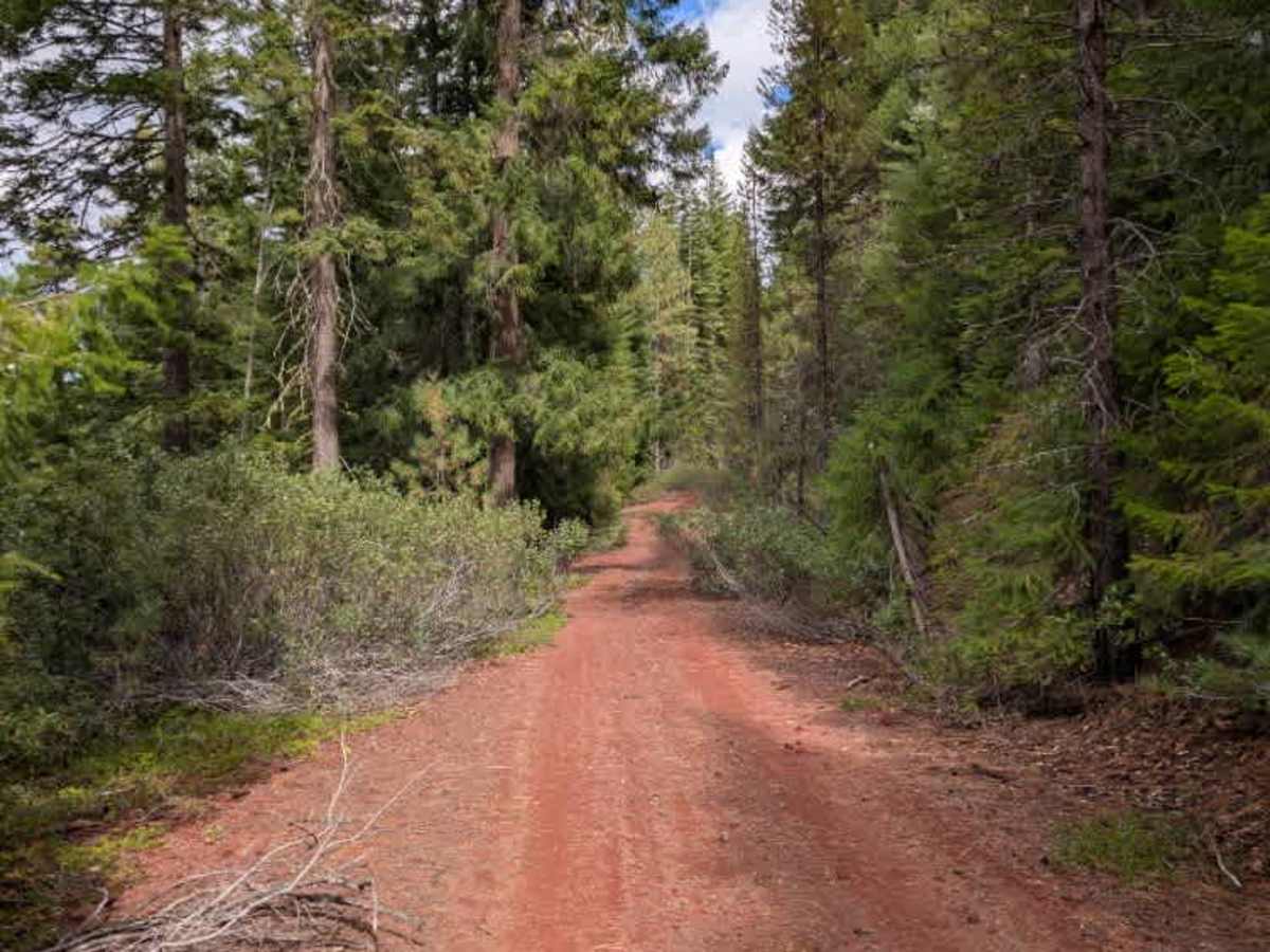
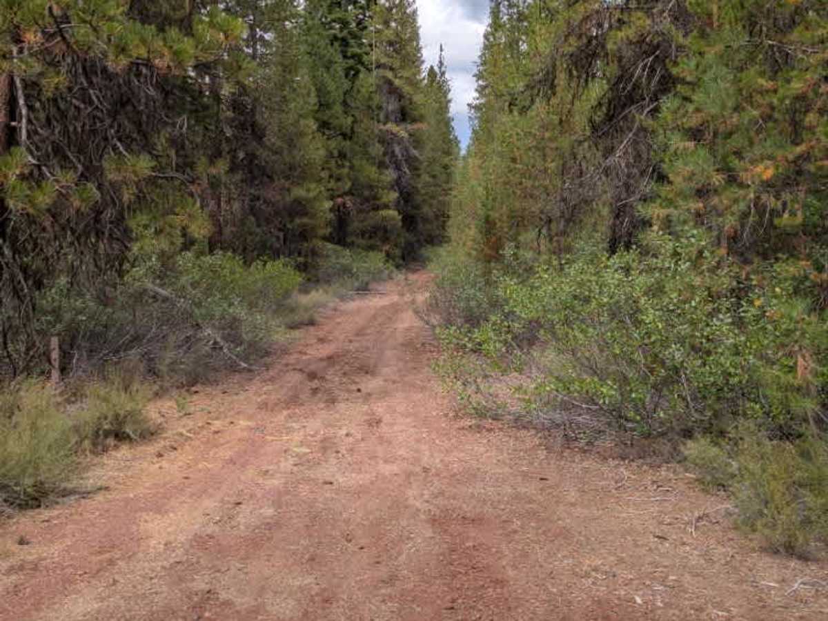
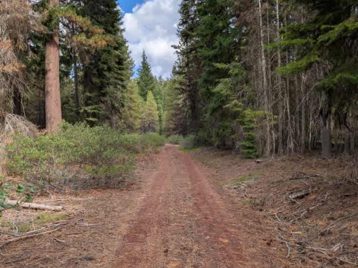
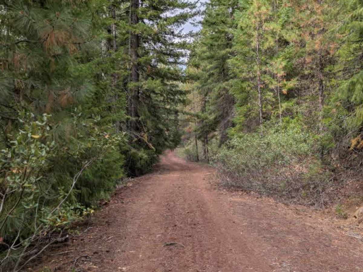
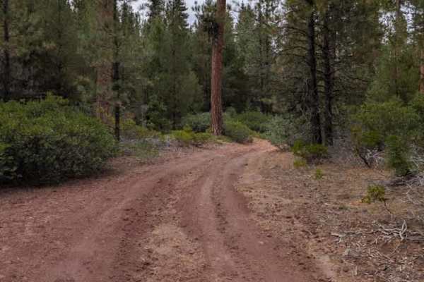
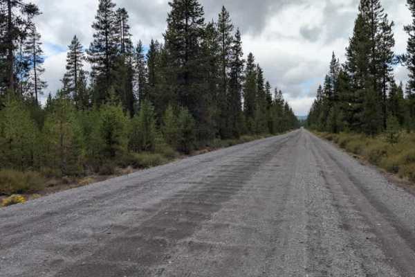
This non-maintained gravel trail provides an easy connection between two arterial roads. The surface is generally smooth, with relatively few rocks or bumps, making for a straightforward route between the two roads. The main concern is the trail's narrowness, as bushes along both edges have begun encroaching on the travel path. Several trees have also been cut down and cleared from the roadway, but some of the larger pieces are partially hidden among the surrounding bushes. Overhanging branches add to the tight conditions, so wider vehicles should use caution when passing through these sections. Despite the vegetation and occasional obstacles along the edges, the main travel path remains clear. ATVs, UTVs, Side-by-Sides, and Dirt Bikes must always have a valid Oregon ATV Operating Permit sticker.