Trail Overview
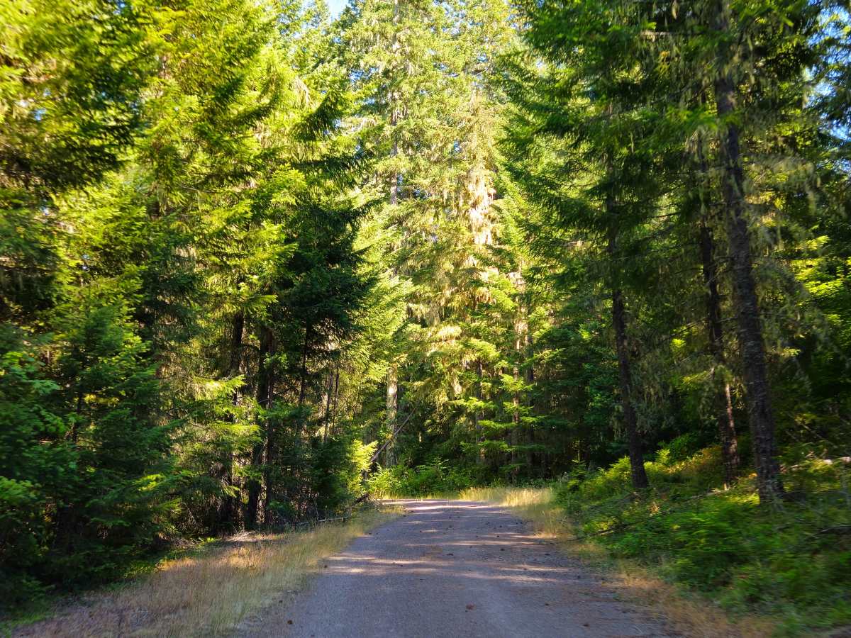
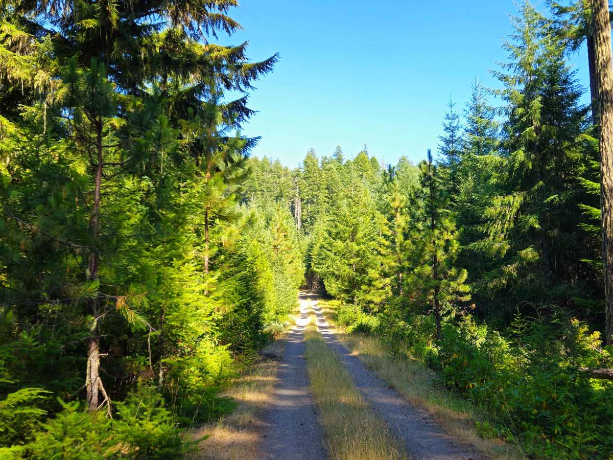
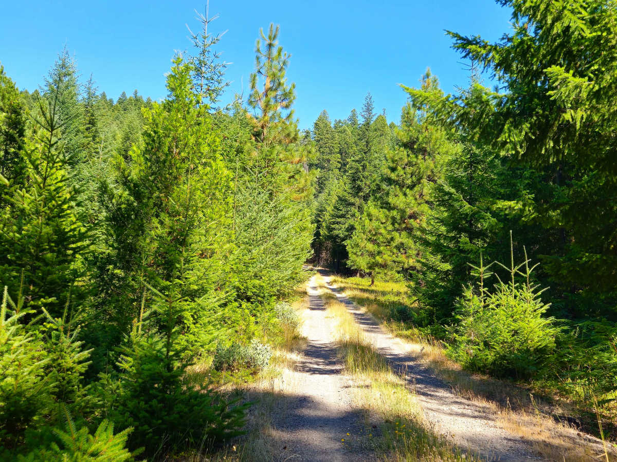
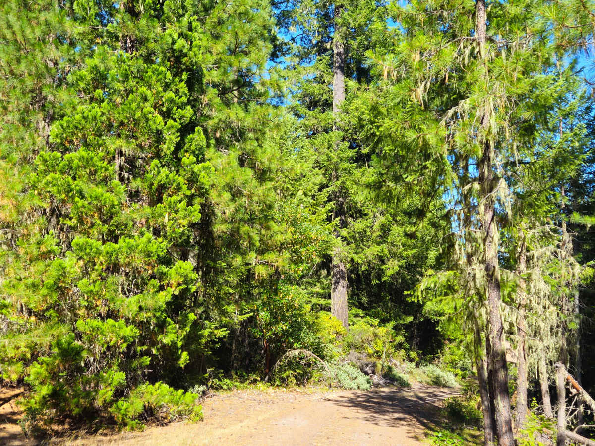
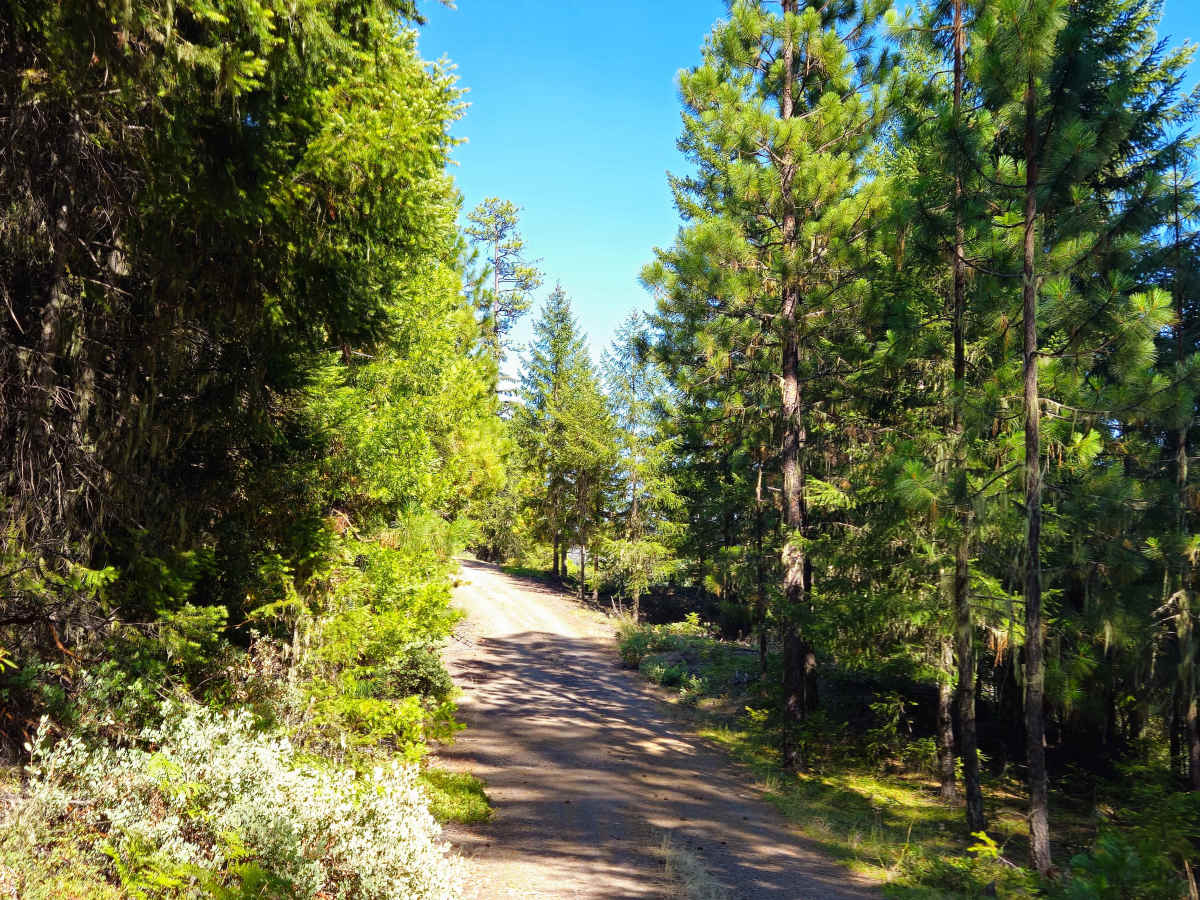
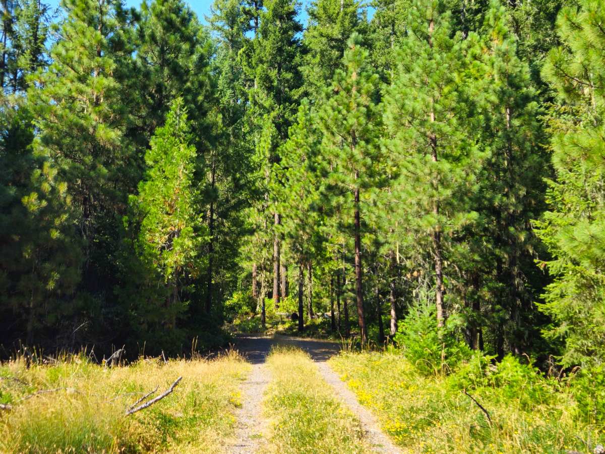
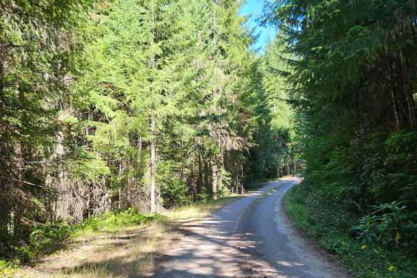
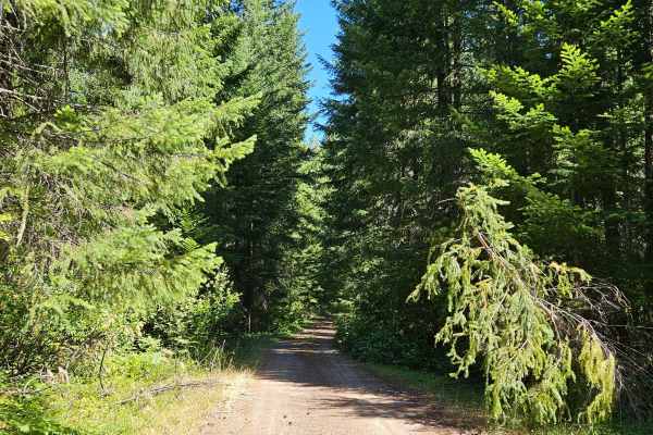
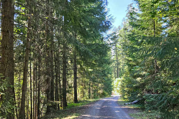
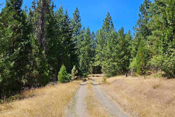
This trail begins as a gravel forest road and remains easy to follow throughout. As it climbs higher into the mountains, the road gradually transitions from maintained to user-maintained, but it stays in generally good condition. The route winds steadily through a mix of open and denser forest before reaching a broad plateau, then descends slightly toward a scenic viewpoint, making for a rewarding drive with constantly changing scenery. Do expect a few potholes along the route, along with some sections where rainfall has eroded the road surface. Although these washed-out areas are easy to navigate, drivers should still use caution. Blue ribbons can be seen attached to trees in several places, indicating forestry or logging activity in the area. A large fallen tree also partially obstructs the trail, though there is still a clear path around it. The upper section becomes slightly narrower, and some light pinstriping is possible as vegetation closes in. Near the end of the trail, there is a small open area that provides a convenient place to park or turn around while taking in the impressive views.