Trail Overview
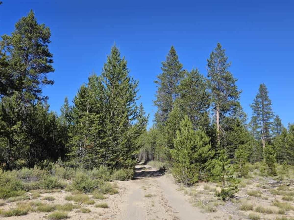
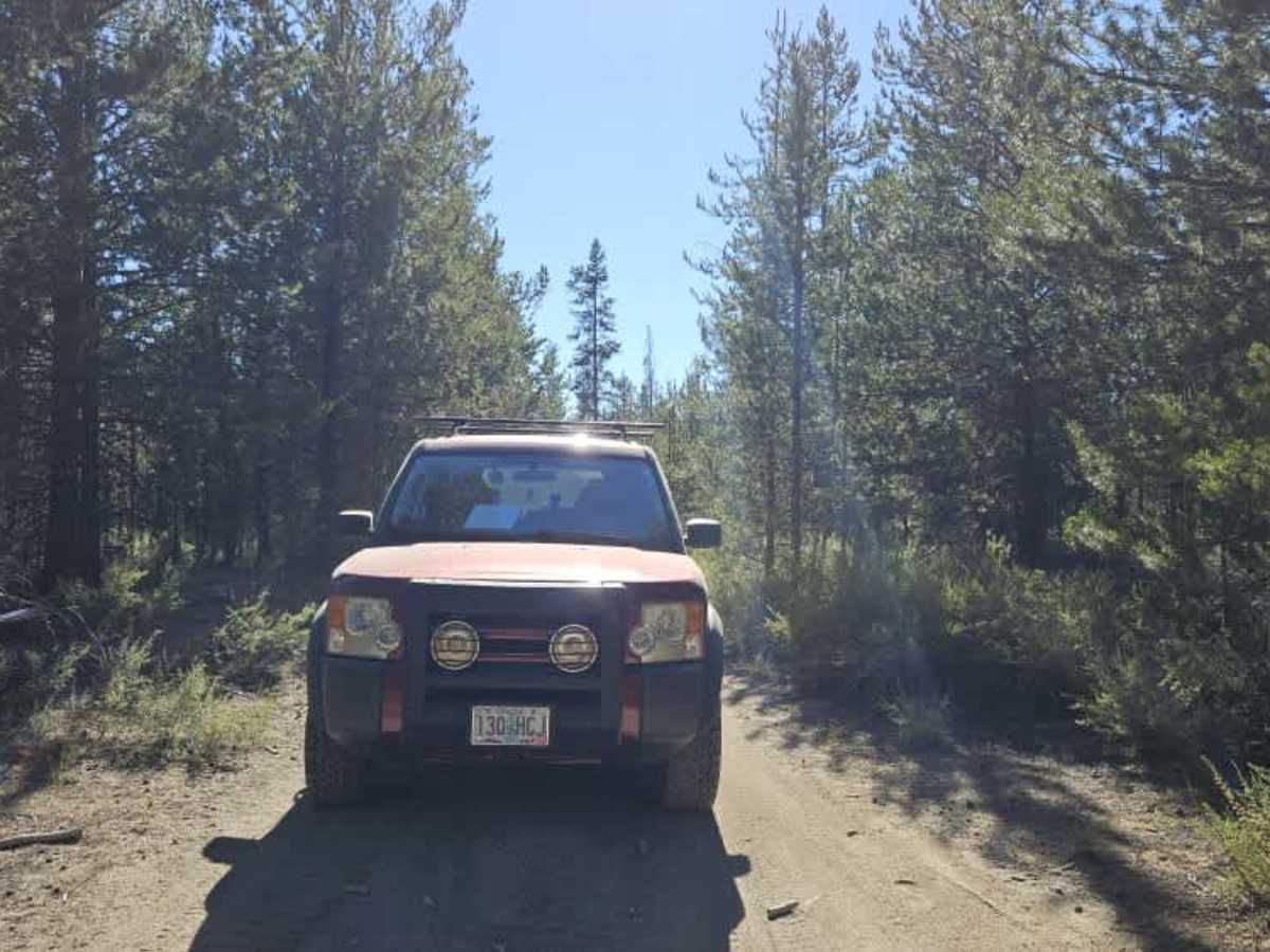
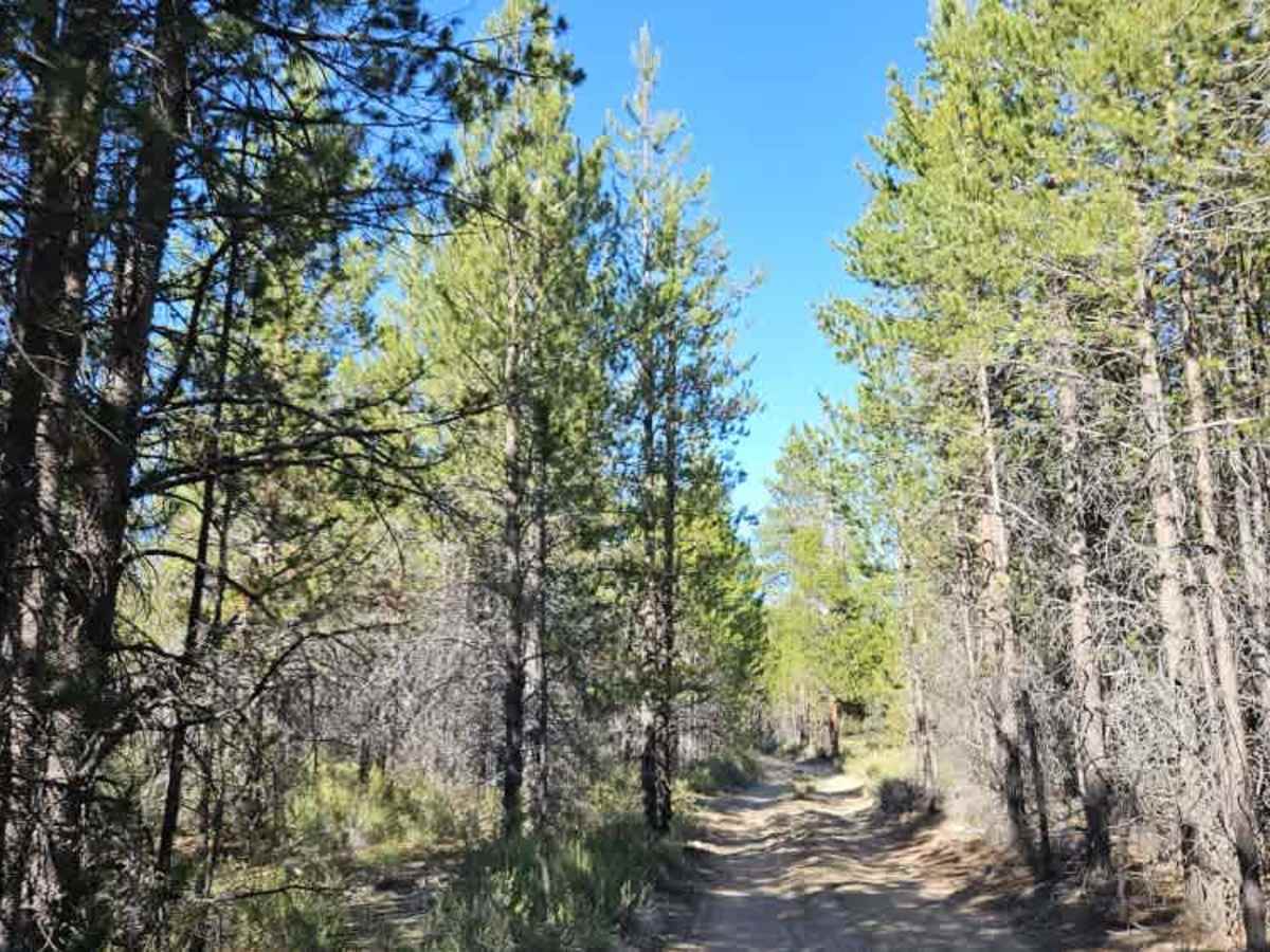
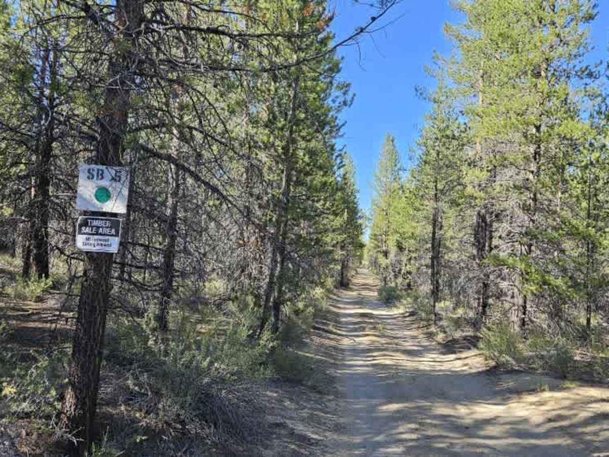
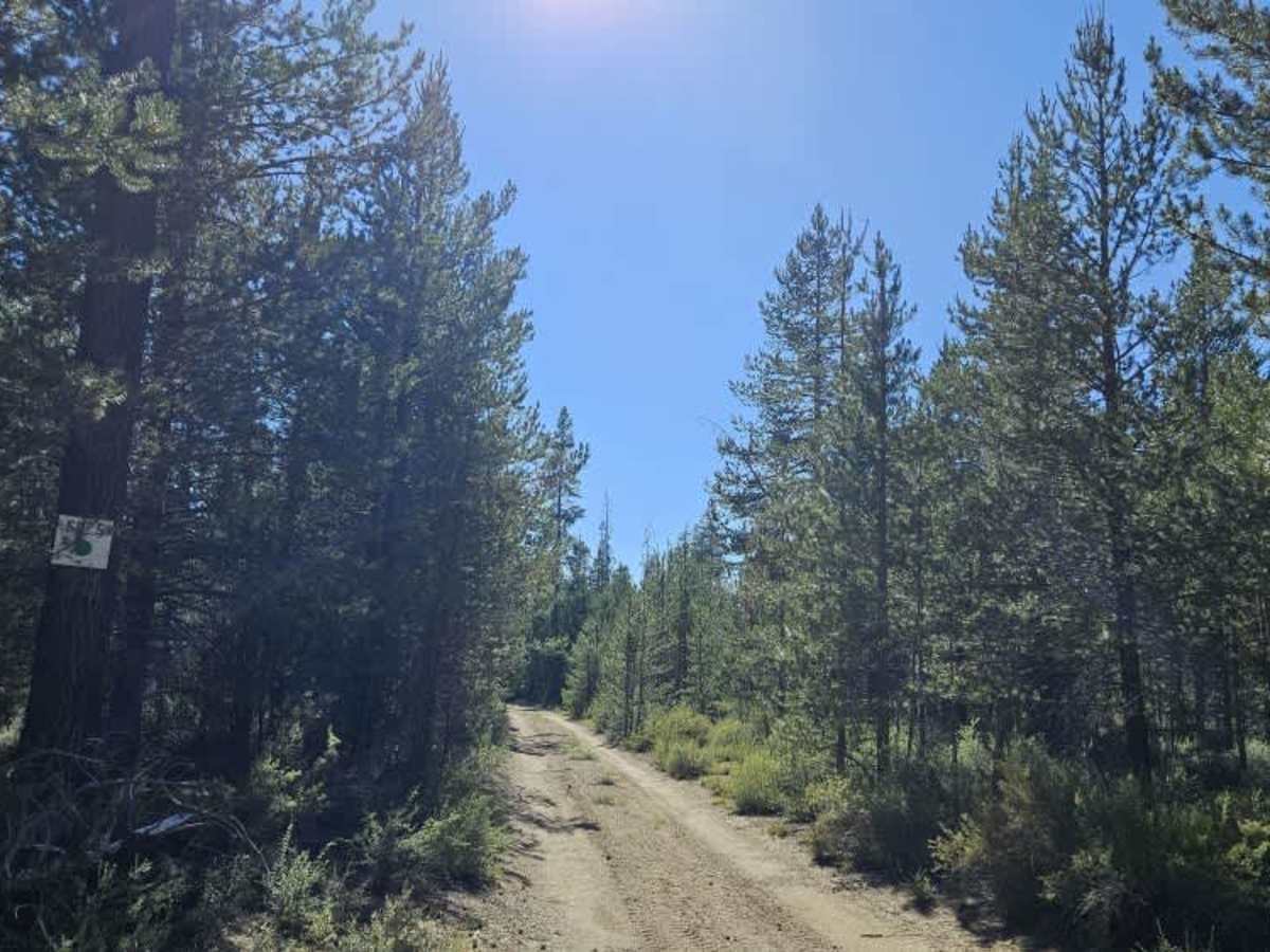
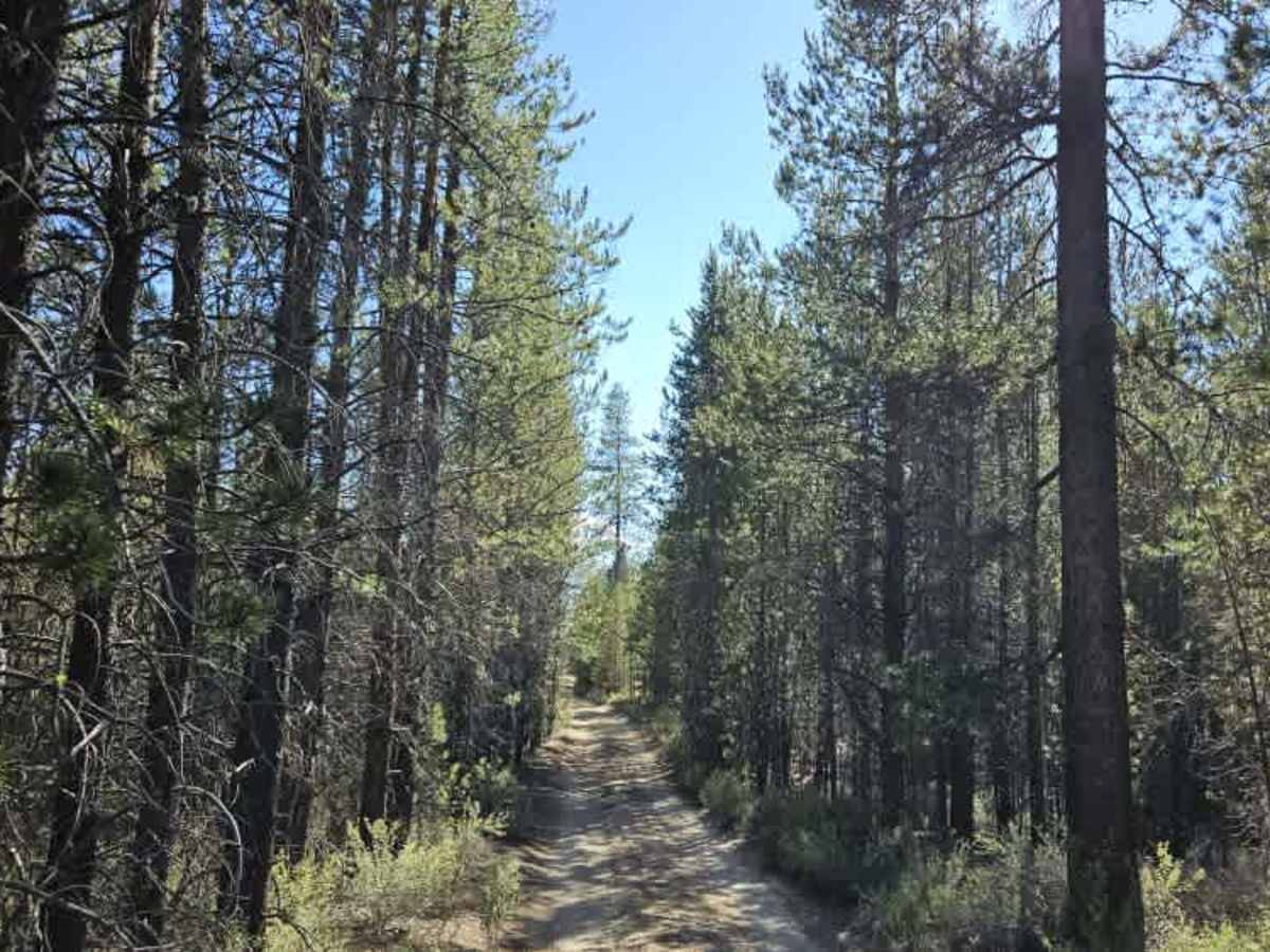
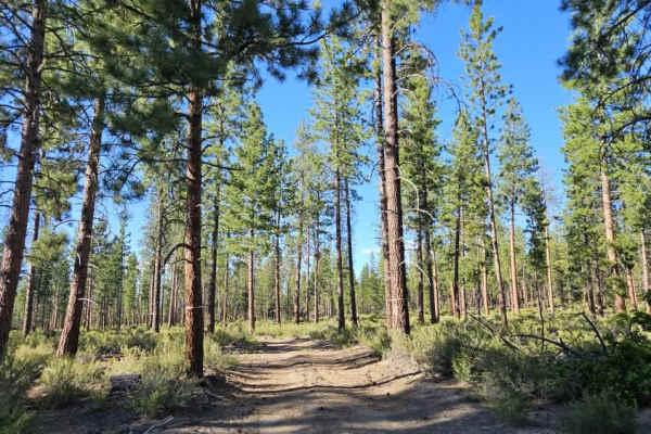
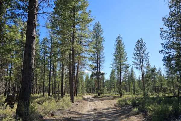
This trail is unmaintained but appears to receive frequent use, as indicated by the visible vehicle tracks. The forest is encroaching into the roadway, so pinstriping should be expected. There are numerous fallen trees and overhanging branches along the route, requiring careful navigation. Wildlife is present in the area, including both adult deer and young deer, so remain alert while traveling. The trail surface consists primarily of fine sandy soil, with a few washout areas and sections that require slower speeds, but overall it remains a manageable route. At the end of the trail, the route becomes overgrown, and there is no practical access farther into the BLM area. To the left at the trail’s end is a timber sale area, where firewood cutting is not permitted. The trail is heavily forested and provides a scenic, quiet drive. ATVs, UTVs, Side-by-Sides, and Dirt Bikes must always have a valid Oregon ATV Operating Permit sticker.
Difficulty
The main challenges are the narrow overgrown sections, downed timber, and occasional washouts along the sandy surface.