Trail Overview
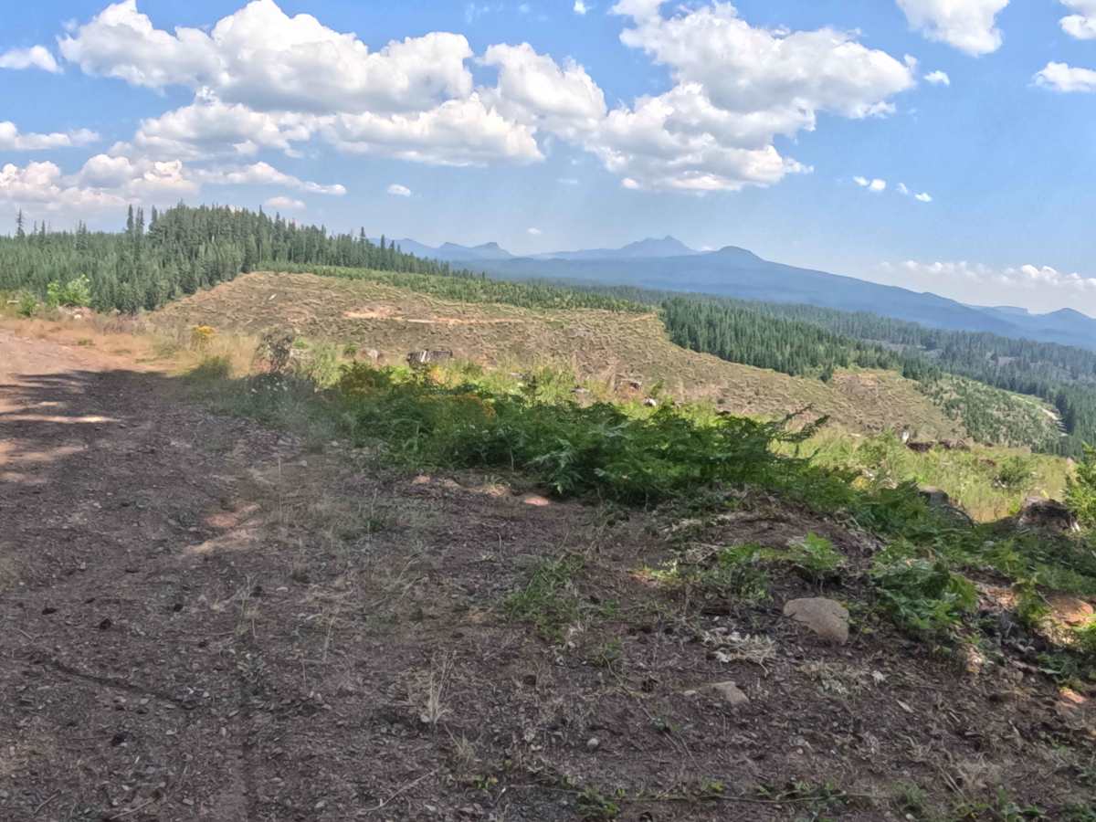
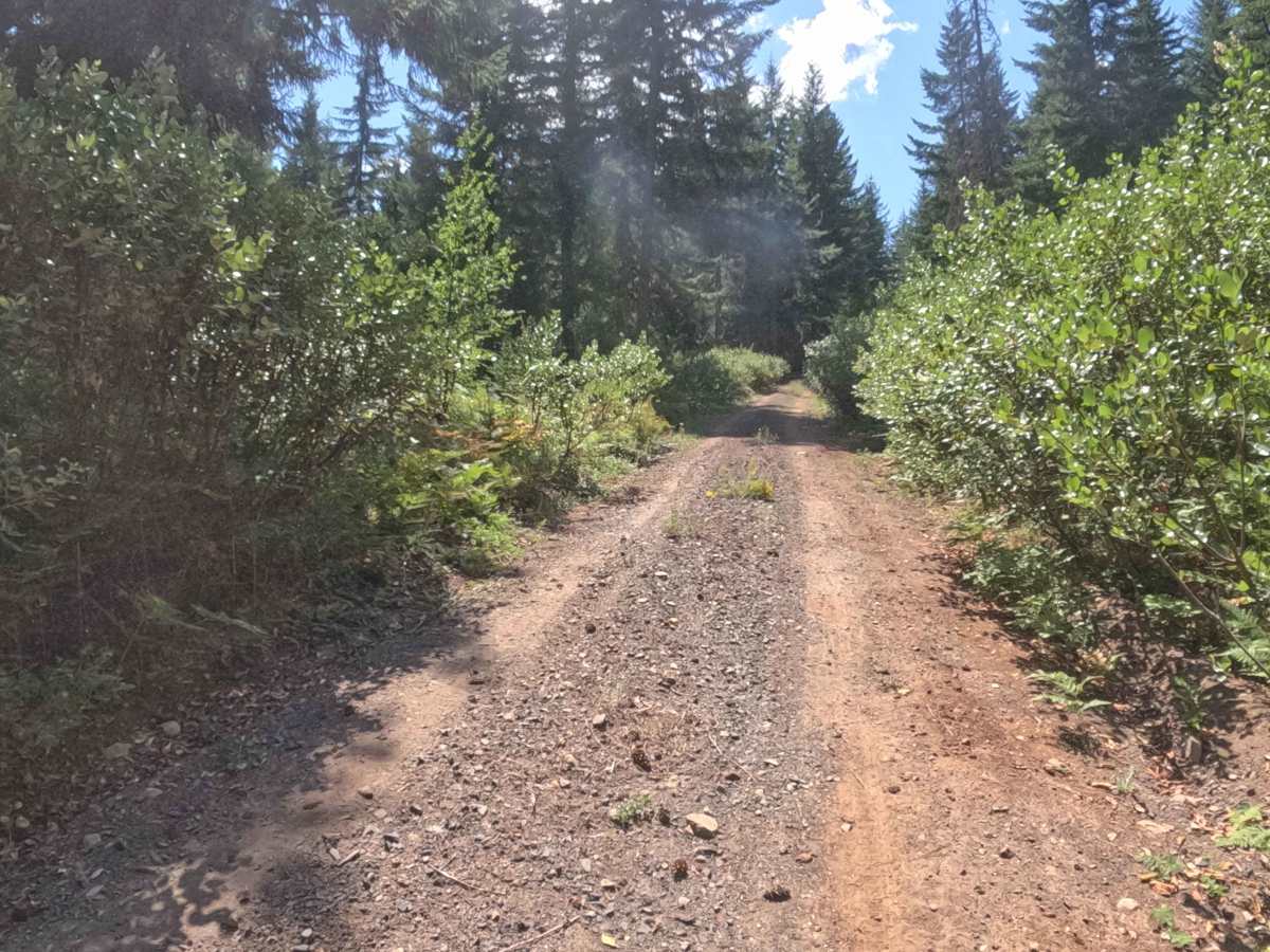
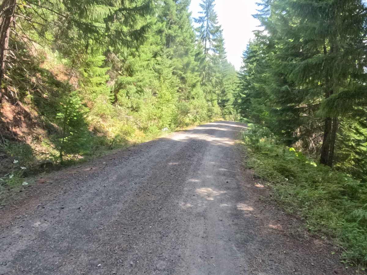
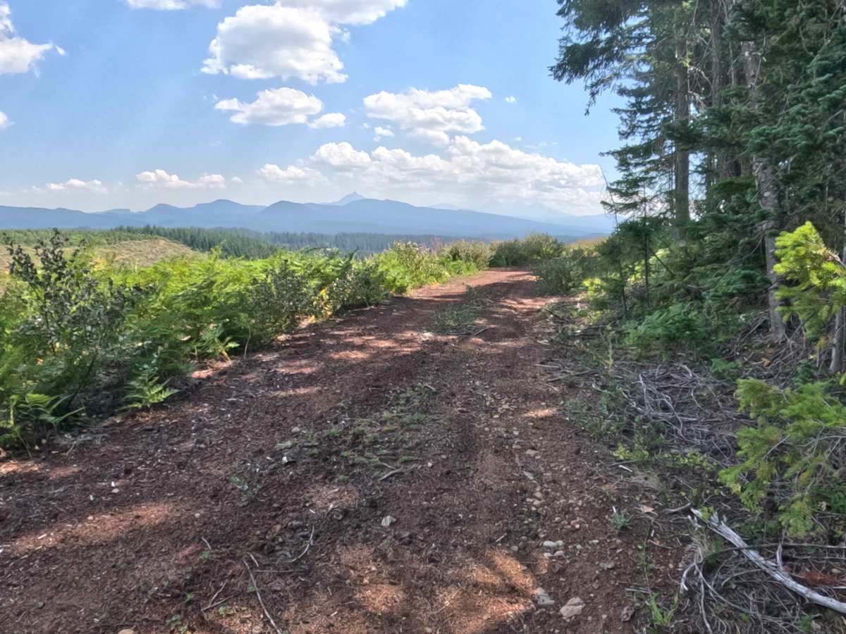
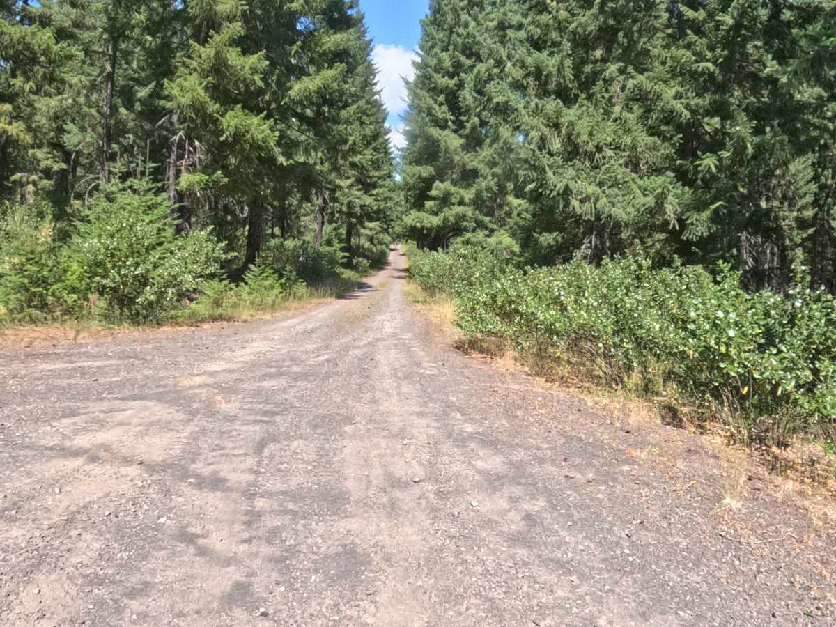
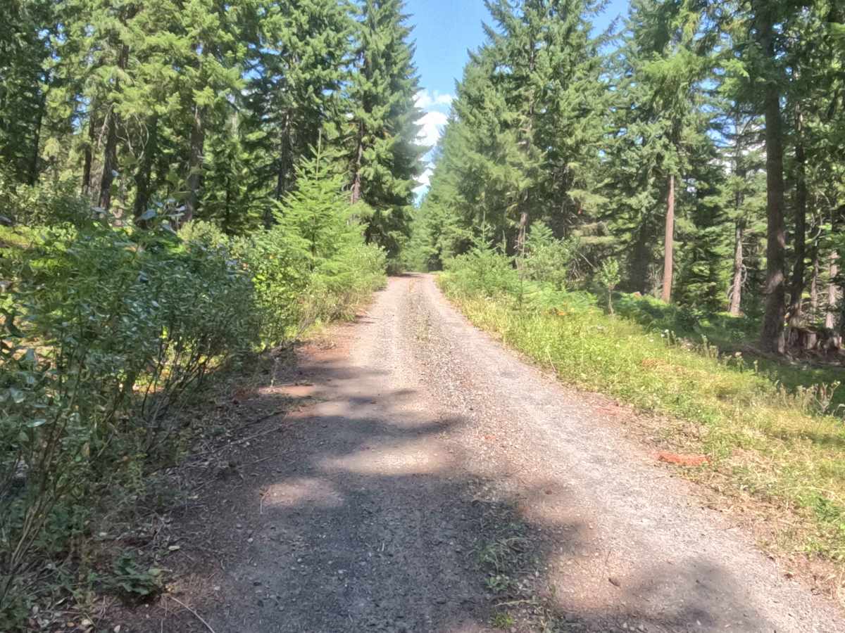
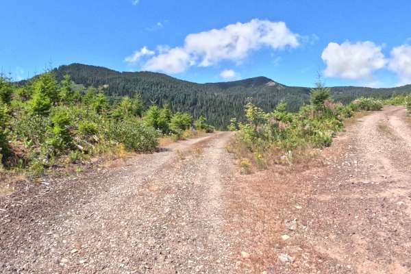
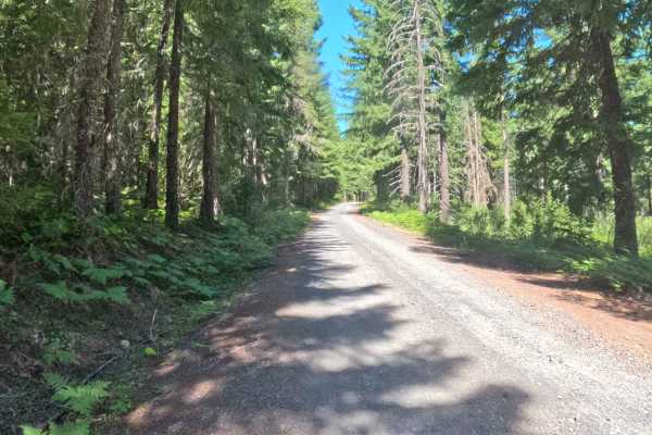
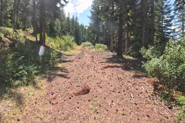
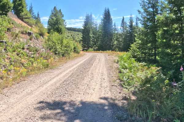
Set within a dense, verdant coniferous forest near Santiam Pass in the Deschutes National Forest, FS 2067527 offers an invigorating mountain ascent. Accessed directly off Forest Service Road 2067, this 1.2-mile out-and-back spur winds continuously uphill through tall Douglas firs and lush understory vegetation. Sightseers, photographers, and outdoor recreationists travel this route primarily to reach the summit, where a clear-cut opening delivers breathtaking panoramic views of Mount Washington, the Three Sisters, and Hoodoo Ski Area. The driving surface consists of a wide, well-graded hard-packed gravel road with a continuous incline. Departing the main forest road, the path climbs steadily around several sharp, blind curves where thick side brush partially narrows forward visibility. Although official mapping indicates a V-shaped road split near the top, no such junction exists on the ground. During the final quarter mile, the thick tree canopy abruptly yields to an open timber harvest area, terminating at a spacious summit turnaround loop framed by stunning Cascade mountain vistas.
Difficulty
This 1.2-mile out-and-back forest spur features a firm, well-maintained hard-packed gravel surface with no ground obstacles. Technical rock crawling, deep mud holes, washouts, and steep shelf drop-offs are non-existent along the entire route. The primary non-technical consideration involves navigating a steady, continuous uphill grade and negotiating several sharp, blind bends where lush roadside vegetation restricts sightlines around corners. Drivers should maintain a modest speed, stay strictly to the right side of the wide road along blind turns, and utilize the large turnaround clearing at the summit clear-cut to turn around effortlessly.