Trail Overview
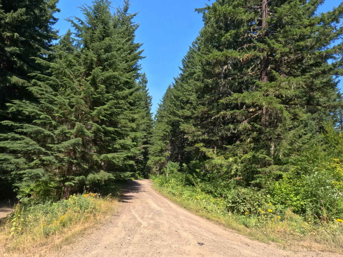
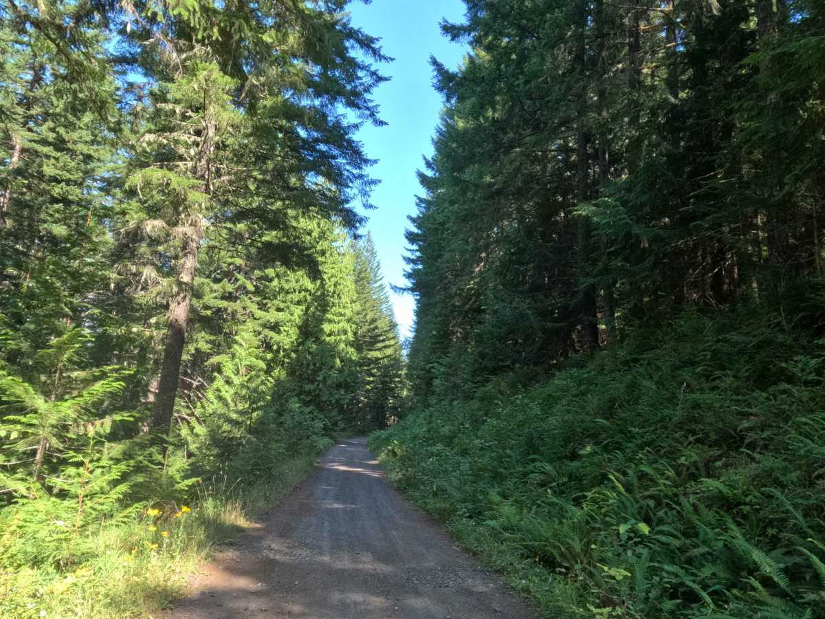
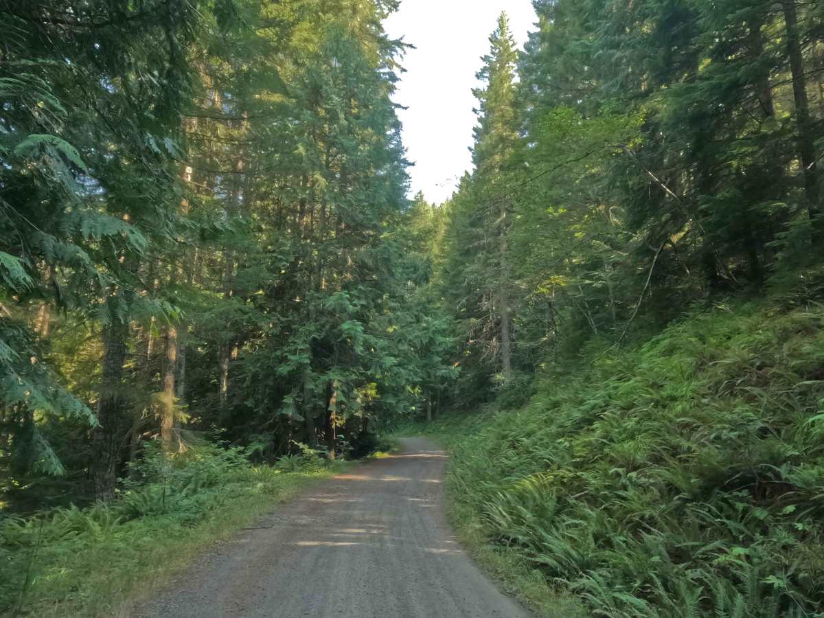
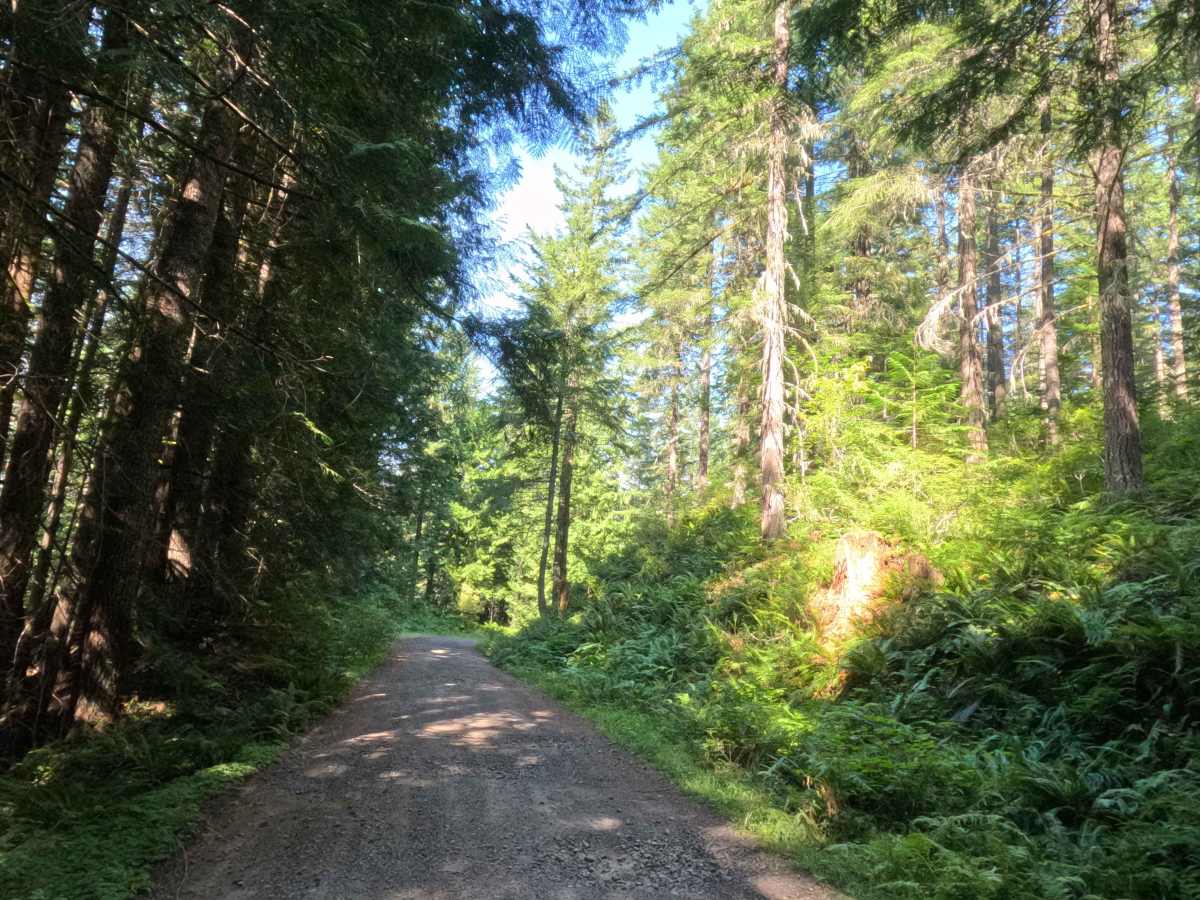
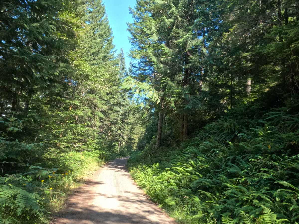
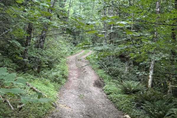
Tucked away in the beautiful backcountry, Boyer Creek Road - FS 4612000 provides a peaceful, lightly traveled route up toward the edge of the Roaring River Wilderness. The overall environment features a deeply shaded, lush old-growth forest that beautifully blankets the trail within the Mt. Hood National Forest. Branching off from the nearby Forest Service Road 4610 network, this unmaintained, dead-end dirt two-track lacks a formal trail sign at the entrance but is a fantastic option for outdoor enthusiasts seeking isolation. The public primarily uses this secluded route to access a remarkably spacious dispersed campsite located at the trail's terminus. This final clearing rewards visitors with vibrant wildflowers and a sweeping, picturesque view into a densely wooded valley where the North Fork Clackamas River runs.
Difficulty
This out-and-back route is a hard-packed gravel and dirt two-track that is wonderfully easy to navigate under normal, dry seasonal conditions. For the first three miles, the driving surface is remarkably flat and wide, allowing for a relaxed pace. While there are no major technical obstacles, deep water bars, or large embedded rocks to worry about, drivers will encounter minor ruts, occasional shallow puddles, and small-to-medium potholes scattered along the route. At the 1.9-mile mark, the path significantly narrows to a single-vehicle width, requiring careful attention for oncoming traffic and pulling over when necessary. As you climb toward the final clearing, the incline increases slightly to a mild 5-10% grade before a short decline drops you into the campsite. Because the firm surface does not require elevated ground clearance or specialized four-wheel-drive systems, you can simply maintain a steady momentum, carefully steer around the potholes, and comfortably enjoy the scenic valley views at the end.