Trail Overview
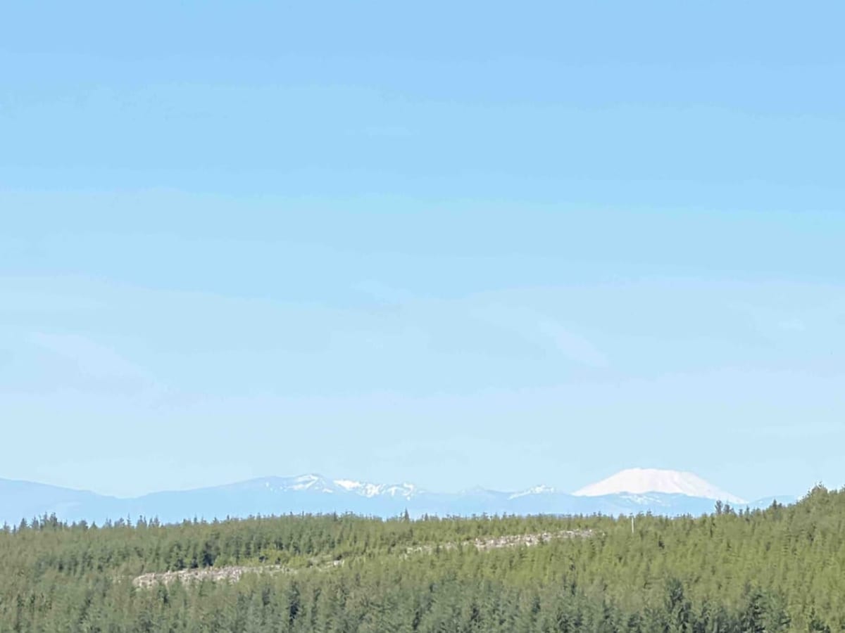
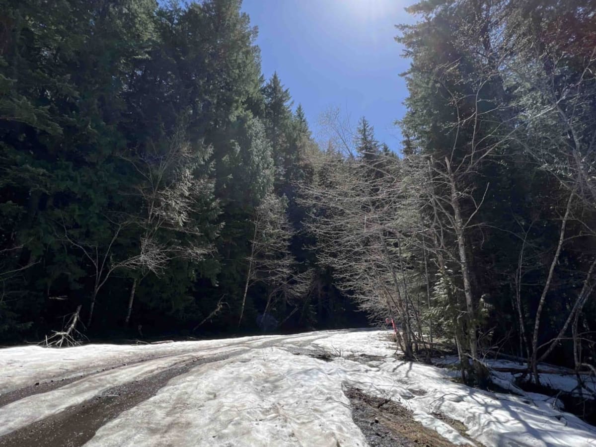
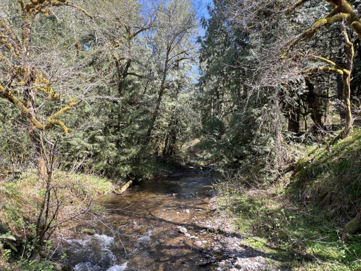
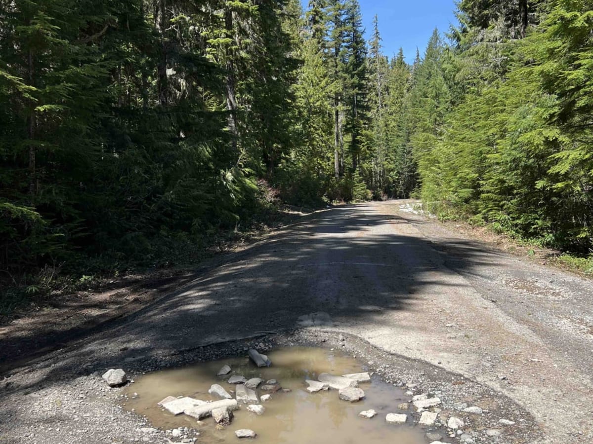
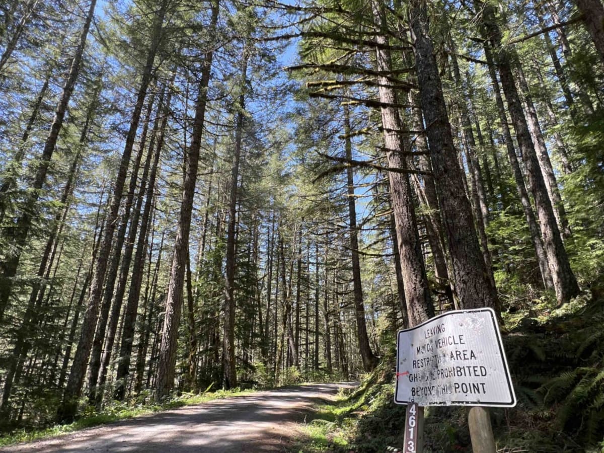
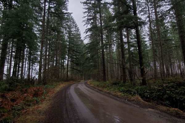
Road 4613 is the back route to get up to the LaDee Flats OHV staging area and the North Fork Quarry OHV Area. This road takes you through the Mount Hood National Forest past waterfalls, creeks, rivers, 60 foot Douglas Fir Trees and gives you stunning views of Mount St. Helens. 4613 is a gravel road with washout sections and very deep potholes. Cars aren't suggested at all due to the depth of the holes in certain areas which may cause severe damage to low-clearance vehicles. Dispersed camping can be found along this route but is primitive with no running water or restrooms. The East Fork Clackamas River runs parallel along this road and provides areas to pull off and put your feet in the river. There are camping spots as well right next to the river to camp that have fire rings. MHNF is home to many different species of wildlife including Black Bear so bear spray is advised.
Difficulty
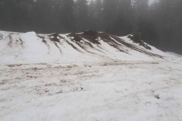
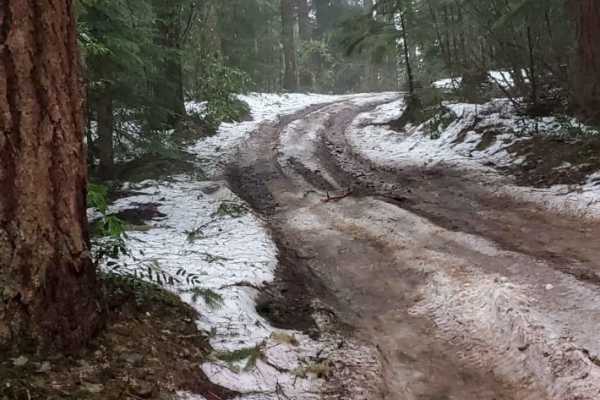
This road is not maintained very well by the forest service so paved areas have very deep holes almost 2 feet in depth, washed-out sections, and several deep potholes. This area is not suggested during the winter time due to the depth of snowfall unless you have a snowmobile.