Boundary Road

Total Miles1.7
Technical Rating
1Easy
Best TimeSpring, Summer, Fall
Trail TypeFull-Width Road
Accessible By
Open Trail Map

Trail Overview

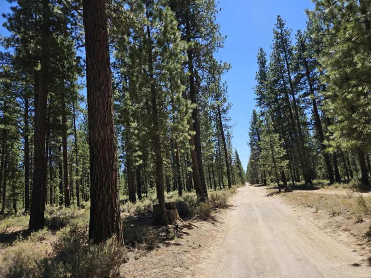
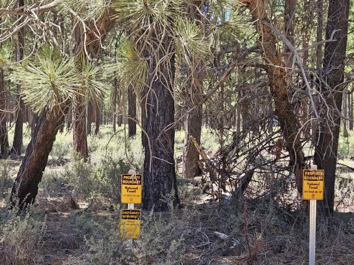
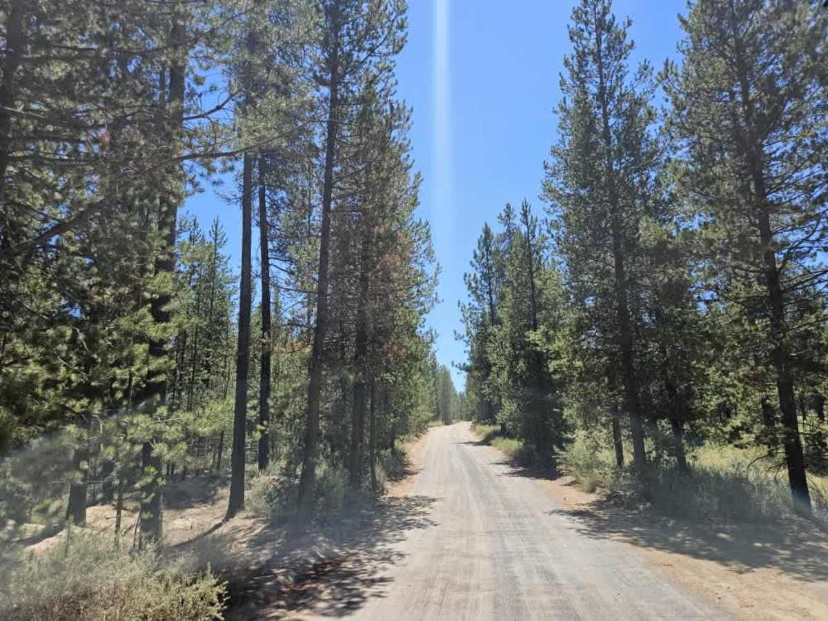
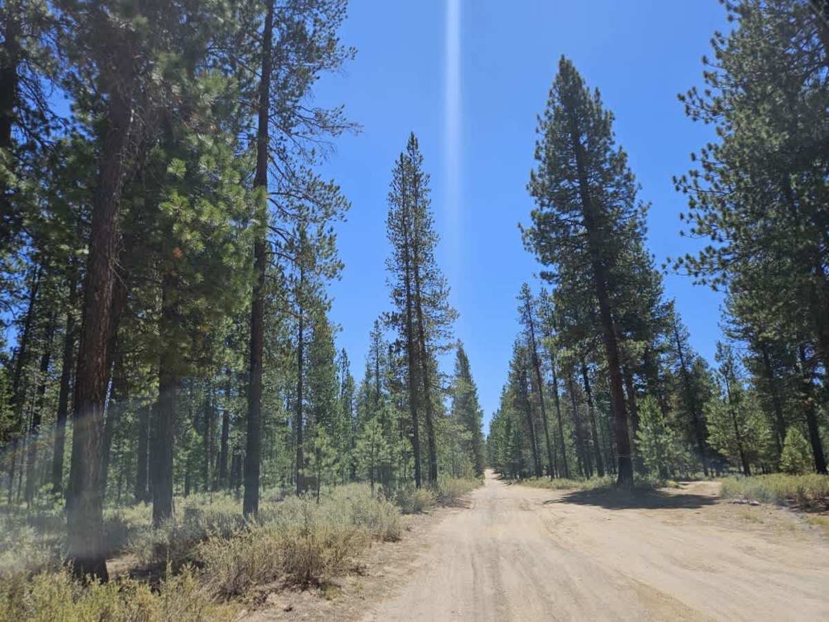
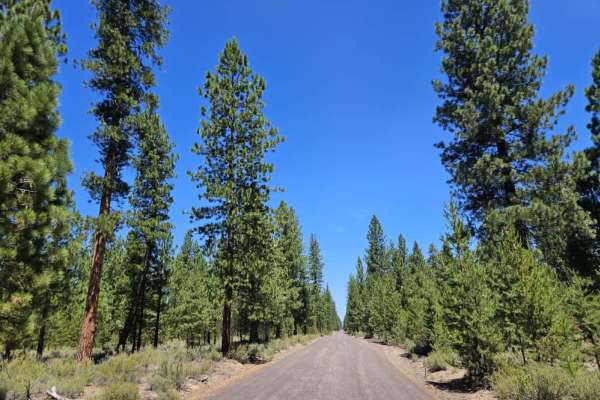
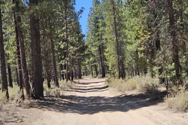
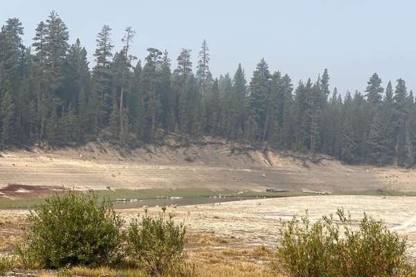
Boundary Road is initially well maintained and passes through residential areas, which is where it gets its name, as it forms a boundary between the local community and the National Forest. About a mile into the route, the road enters the National Forest and transitions into a sandy surface with fine silt sand. There are a couple of escape routes available, particularly useful if conditions change and the road becomes wet and muddy. The road is bumpy with numerous humps and undulations, but the ride remains relatively soft. Several side spurs and trails branch off from the main road; they are also very sandy and provide additional opportunities for exploration. Overall, this is a great little route for an adventure through the area.

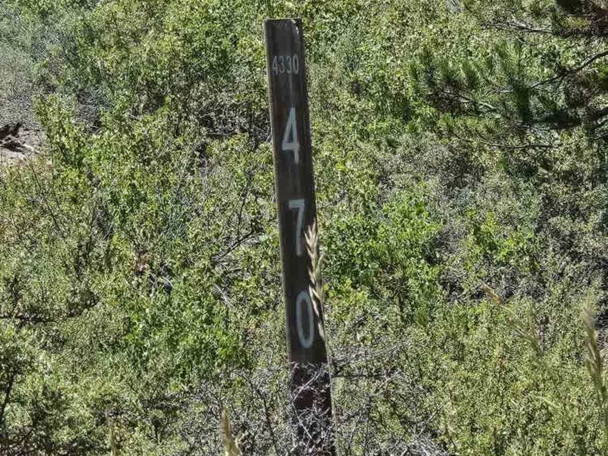
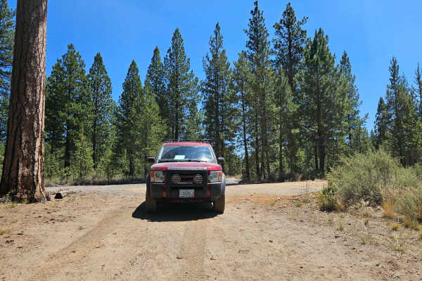
Photos of Boundary Road

Difficulty

The primary challenge is the soft, sandy surface, which becomes significantly more difficult in wet conditions.

Technical Rating

1

Boundary Road Trail can be accessed by the following ride types:

  • High Clearance
  • Full Width

Boundary Road Map

The onX Offroad Difference

onX Offroad combines trail photos, descriptions, difficulty ratings, width restrictions, seasonality, and more in a user-friendly interface. Available on all devices, with offline access and full compatibility with CarPlay and Android Auto. Discover what you're missing today!

Open Trail Map