6000

Total Miles8.1
Technical Rating
1Easy
Best TimeSpring, Summer, Fall
Trail TypeFull-Width Road
Accessible By
Open Trail Map

Trail Overview

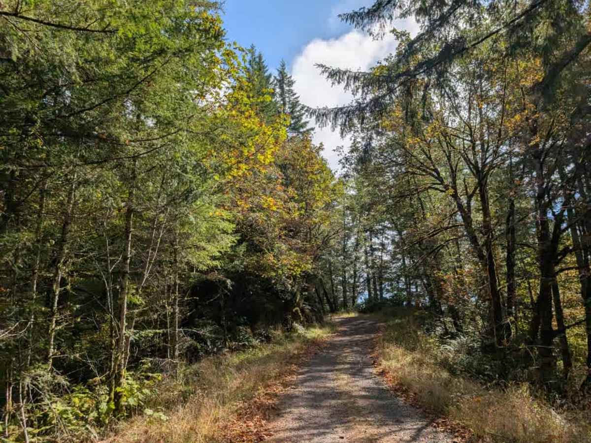
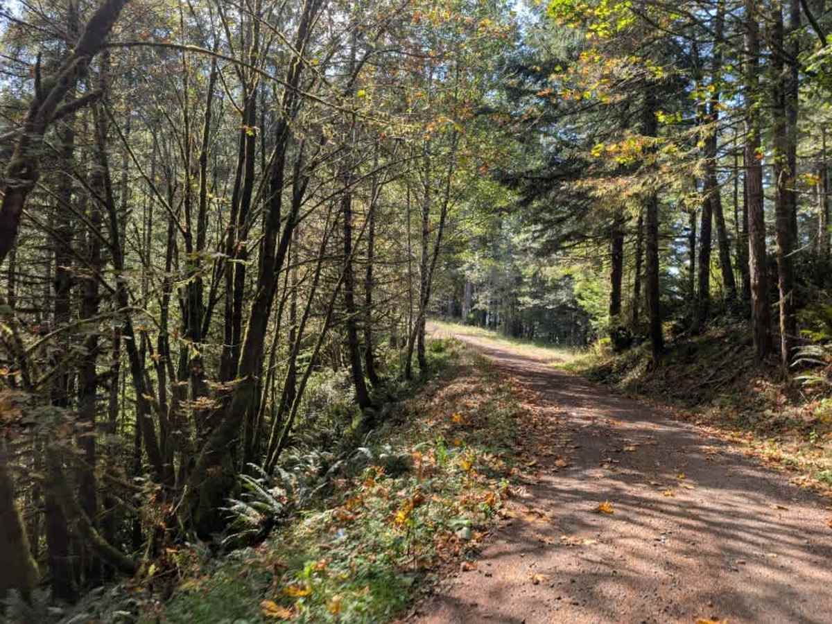
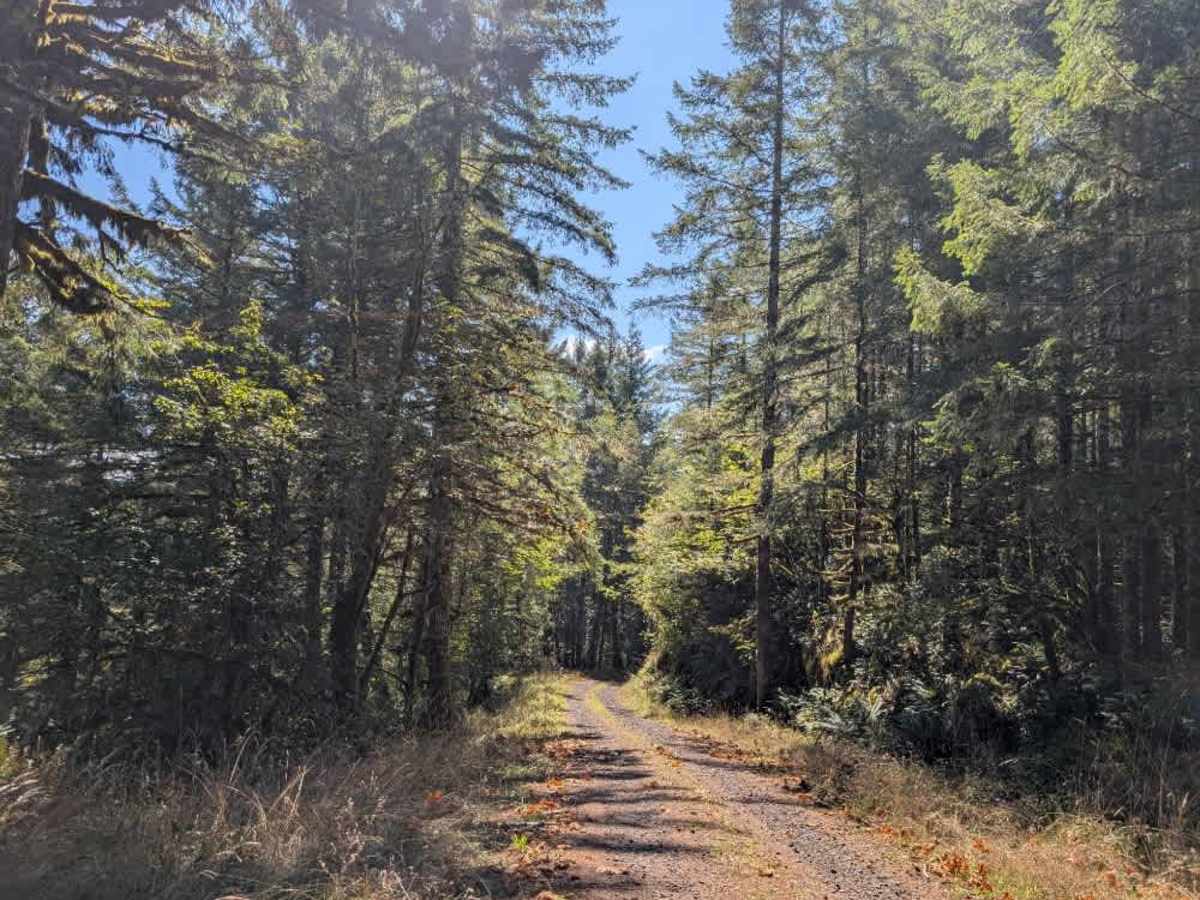
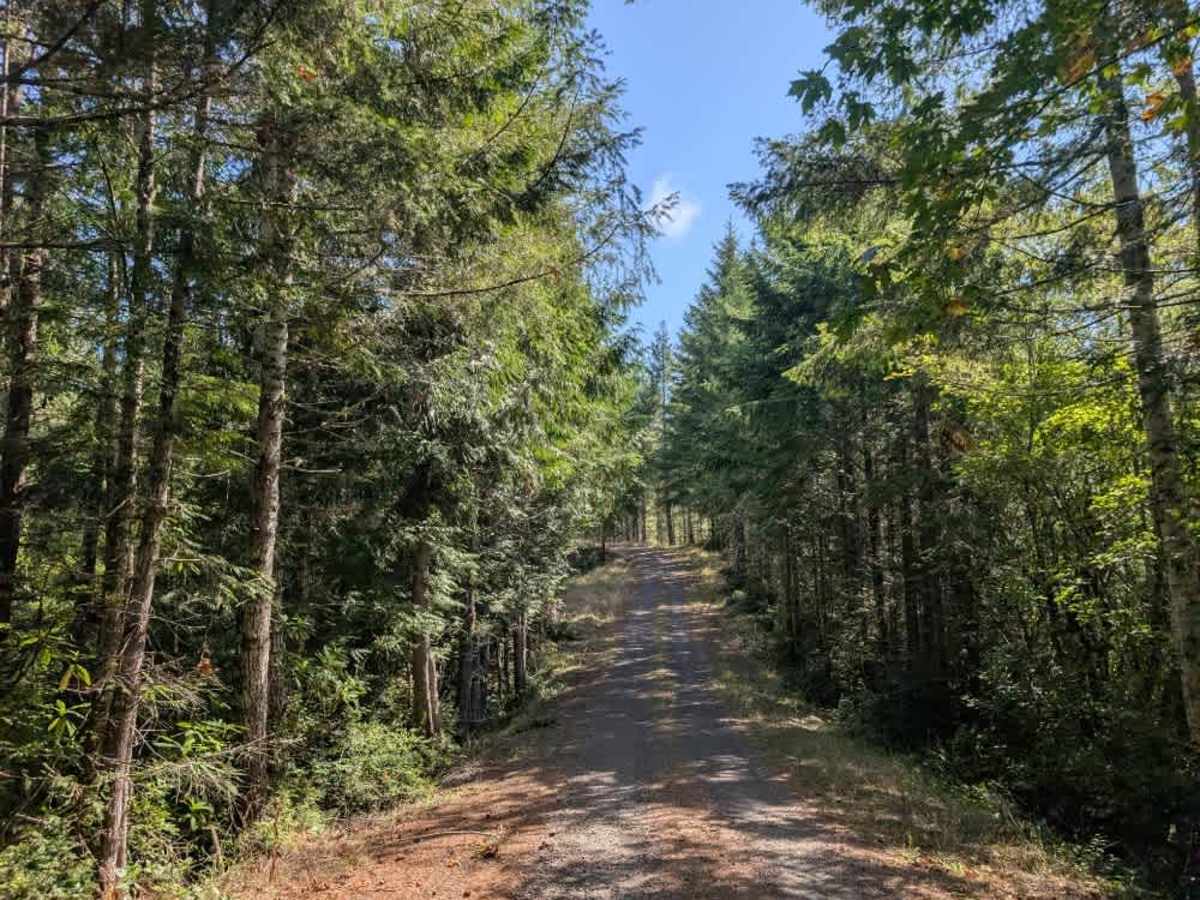
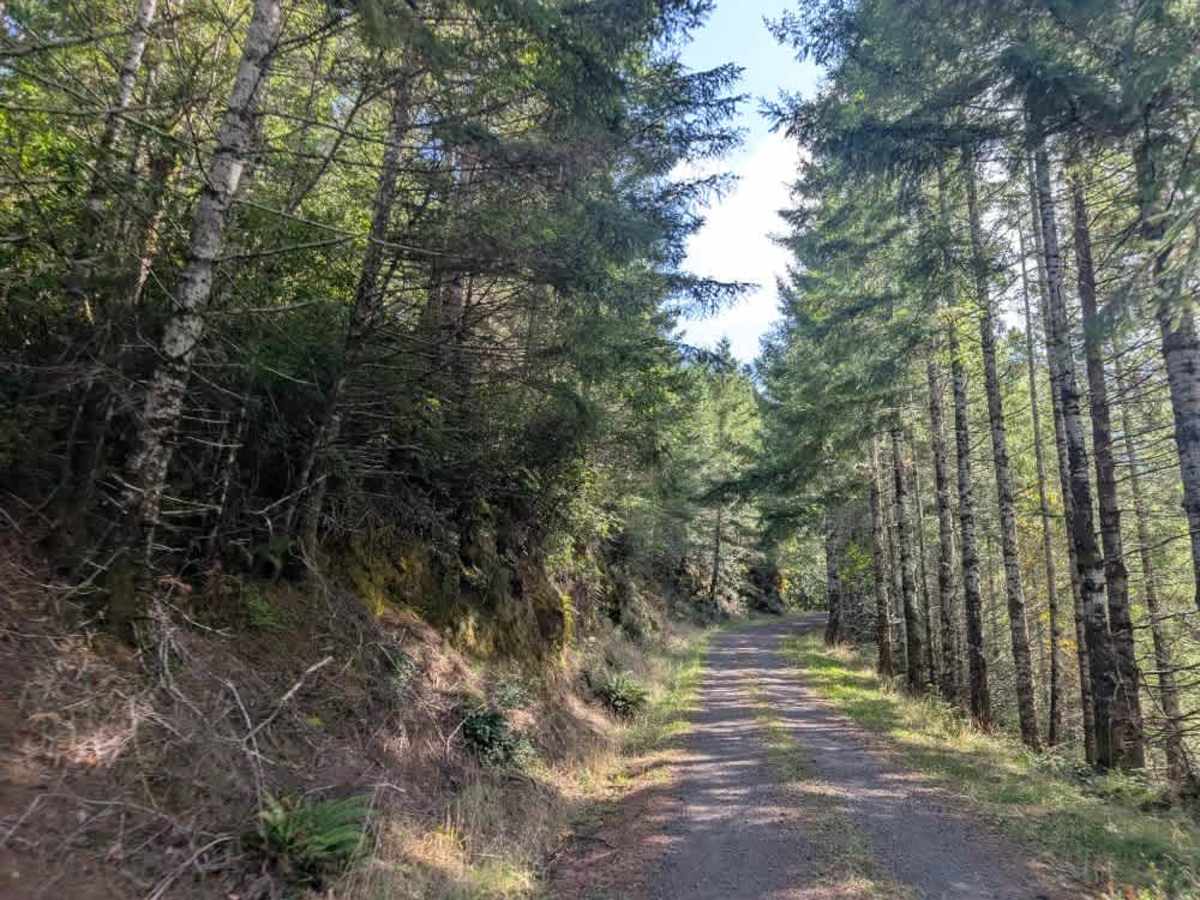
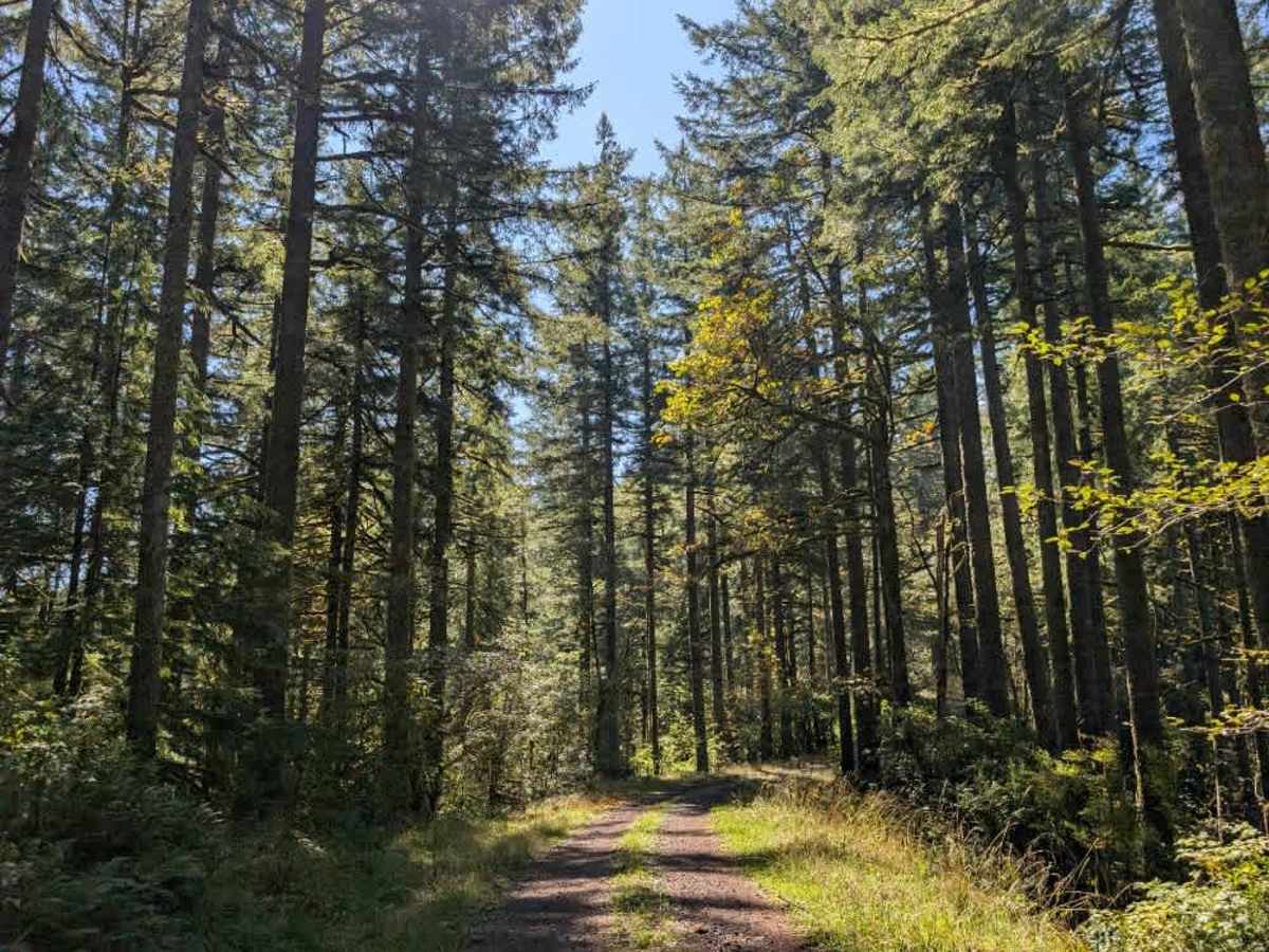
This well-maintained trail branches off the main Highway 38 and climbs steeply into the surrounding terrain. The route gains 317 feet in the first half mile and another 700 feet over the next mile, so make sure your vehicle can handle the elevation gain and steep grades. The road uses a series of curves and corners to climb rather than going straight uphill, but the overall ascent is still quite steep. As you climb, a house is on the right. Stay to the left on the trail and be careful not to enter the residential driveway. Beyond the initial climb, the trail continues through a series of ascents and descents, with plenty of up-and-down terrain. Several side trails branch off the main road, although some are overgrown while others remain in better condition. The route also includes one apparent camping area. This area is open year-round on gravel roads. OHV use is prohibited where vegetation is present on the road during fire season, typically from October. ATVs, UTVs, Side-by-Sides, and Dirt Bikes must always have a valid Oregon ATV Operating Permit sticker.

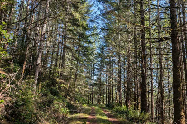
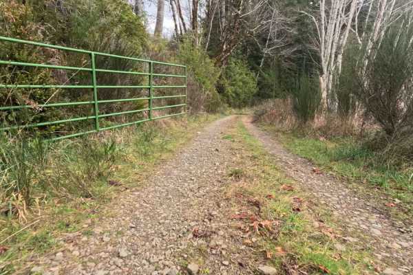
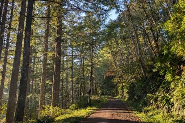
Photos of 6000

Difficulty

This is a well-maintained trail with no shortage of elevation changes. Its steep climbs make vehicle capability an important consideration before traveling this route.

Technical Rating

1

6000 Trail can be accessed by the following ride types:

  • Single Track
  • 50 Inch
  • 60 Inch
  • High Clearance
  • Full Width

6000 Map

The onX Offroad Difference

onX Offroad combines trail photos, descriptions, difficulty ratings, width restrictions, seasonality, and more in a user-friendly interface. Available on all devices, with offline access and full compatibility with CarPlay and Android Auto. Discover what you're missing today!

Open Trail Map