FS 6300

Total Miles1.2
Technical Rating
1Easy
Best TimeSpring, Summer, Fall
Trail TypeFull-Width Road
Accessible By
Open Trail Map

Trail Overview

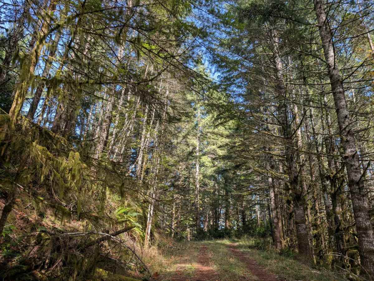
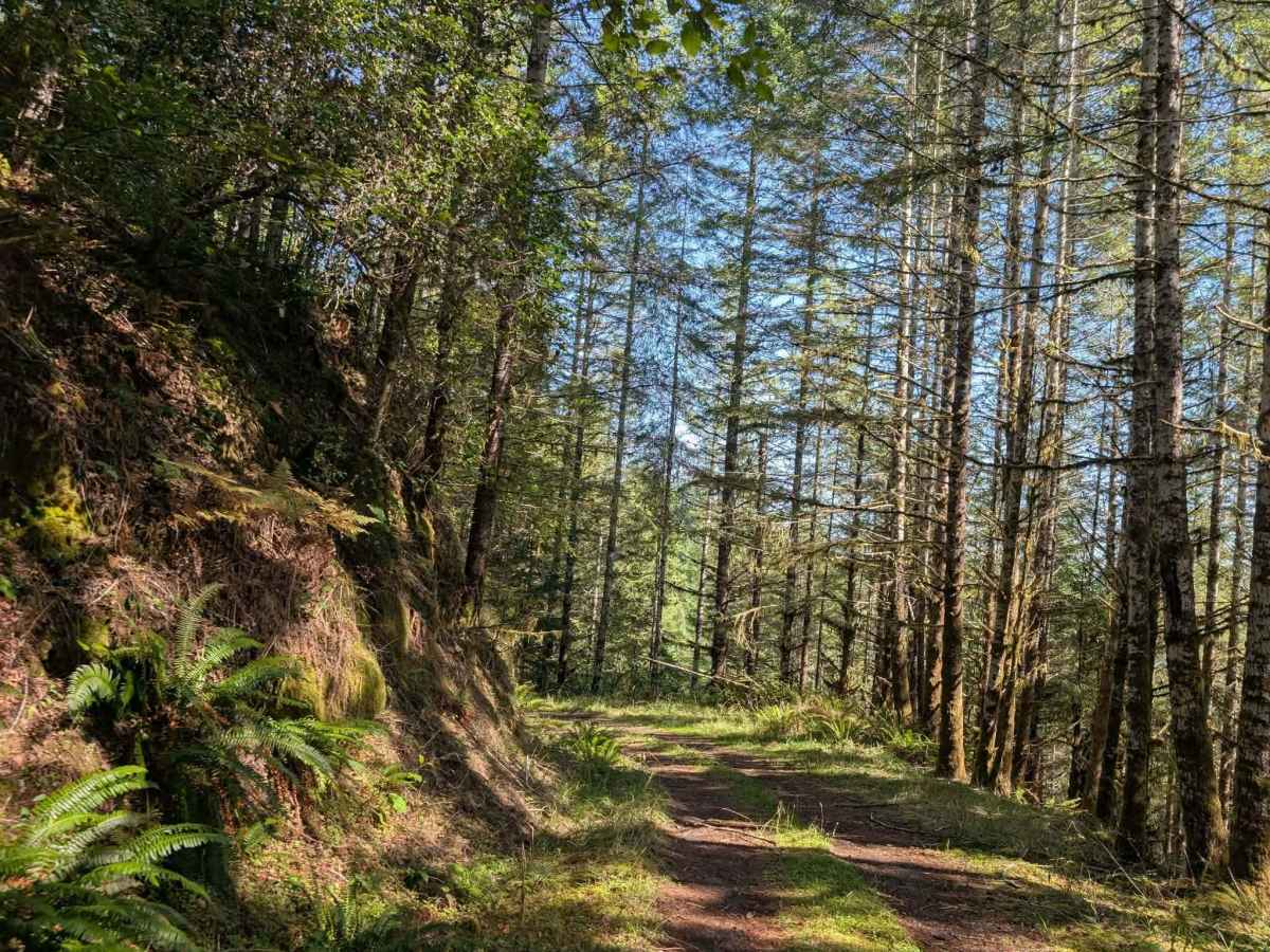
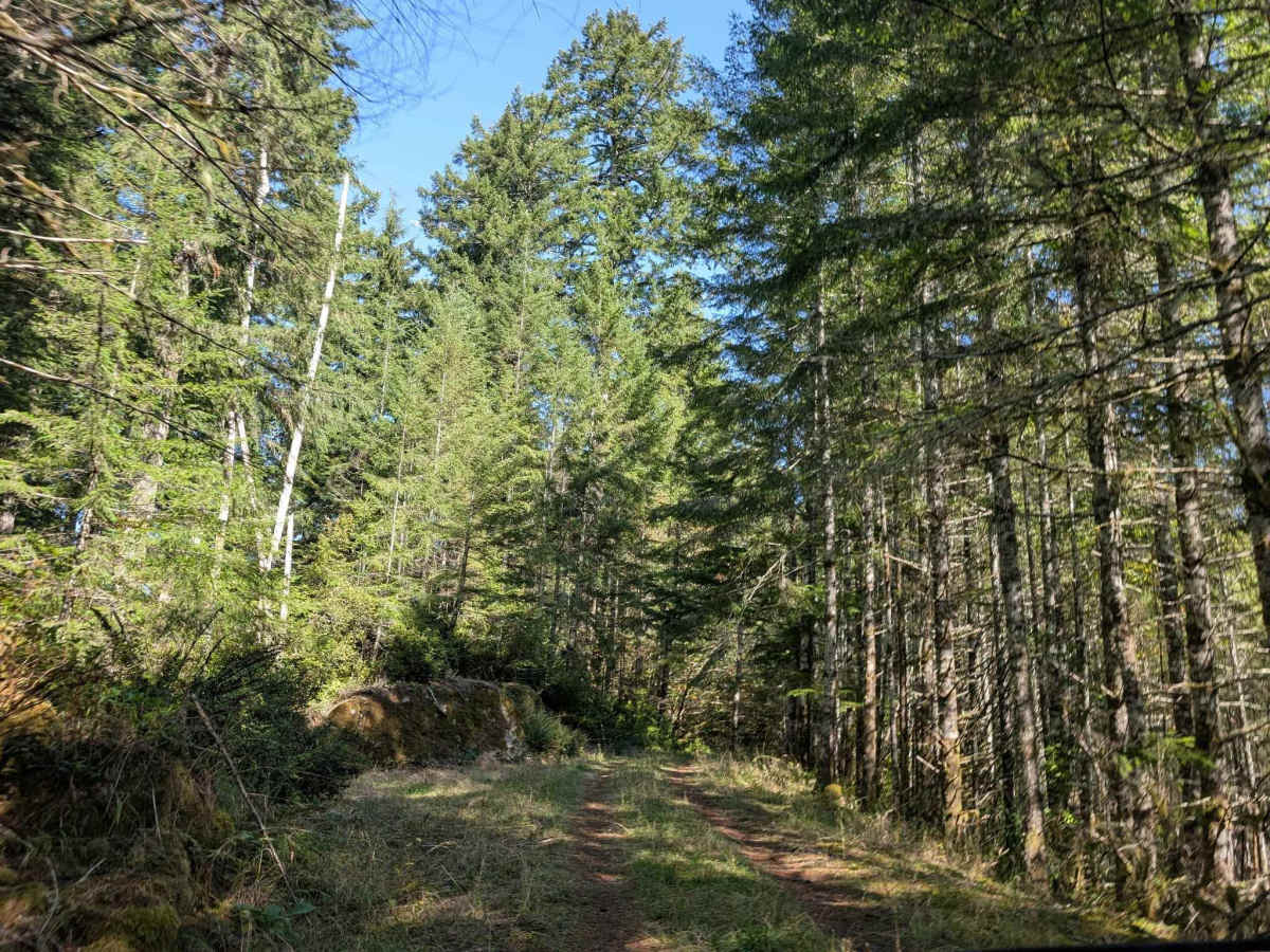
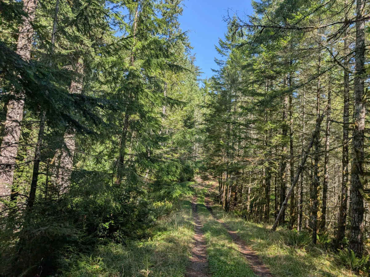
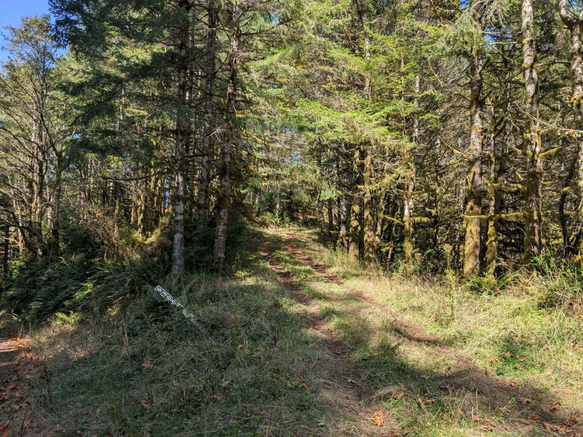
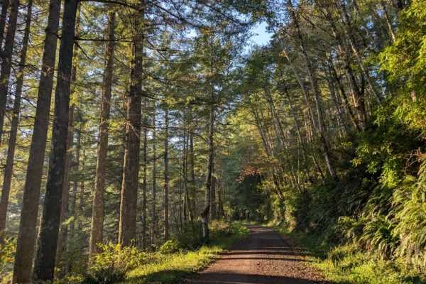
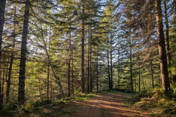
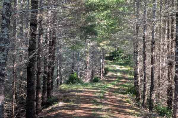
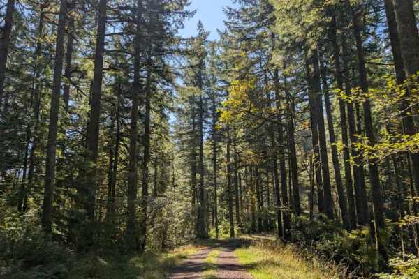
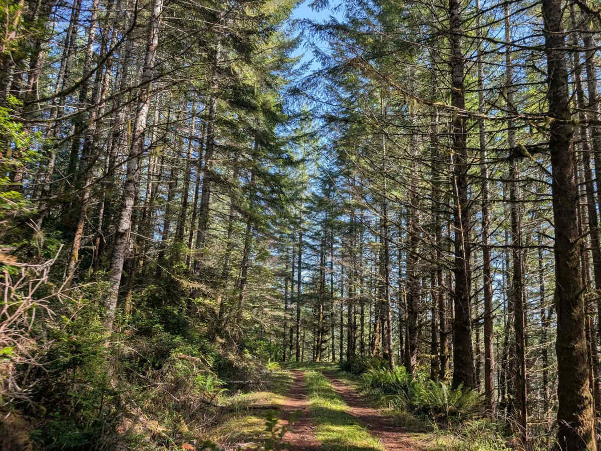
This user-maintained trail has some undergrowth and can be wet and slippery, making for slow-going travel. The route features steep ascents and descents along a ridgeline, so take your time and use extra caution, particularly where the terrain is wet. This route requires a capable 4x4 with high clearance, and traction control may be necessary due to the wet conditions. Sedans and other standard vehicles are not suitable for the trail. A couple of pull-offs and turnaround areas are available along the route if you need to stop or decide to turn back. However, the trail is narrow in places and surrounded by vegetation, leaving little room for error. Stay alert along the ridge and approach the steep sections carefully. Despite the challenging conditions, this trail offers a beautiful, rewarding mountain setting. ATVs, UTVs, Side-by-Sides, and Dirt Bikes must always have a valid Oregon ATV Operating Permit sticker.

Photos of FS 6300

Difficulty

The combination of steep elevation changes, slippery conditions, and narrow terrain makes this a more challenging trail.

Technical Rating

1

FS 6300 Trail can be accessed by the following ride types:

  • Single Track
  • 50 Inch
  • 60 Inch
  • High Clearance
  • Full Width

FS 6300 Map

The onX Offroad Difference

onX Offroad combines trail photos, descriptions, difficulty ratings, width restrictions, seasonality, and more in a user-friendly interface. Available on all devices, with offline access and full compatibility with CarPlay and Android Auto. Discover what you're missing today!

Open Trail Map