2600

Total Miles1.3
Technical Rating
1Easy
Best TimeSpring, Summer, Fall
Trail TypeFull-Width Road
Accessible By
Open Trail Map

Trail Overview

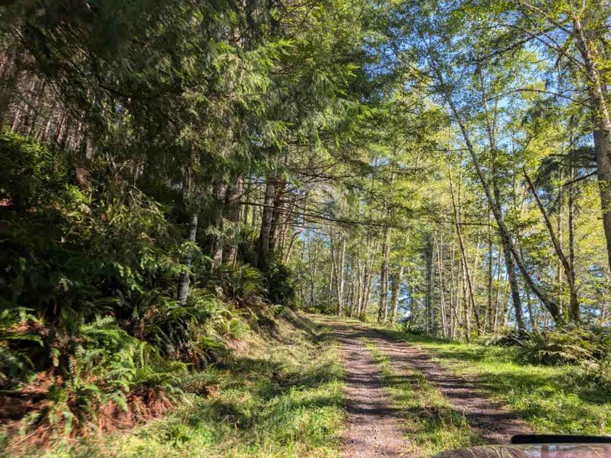
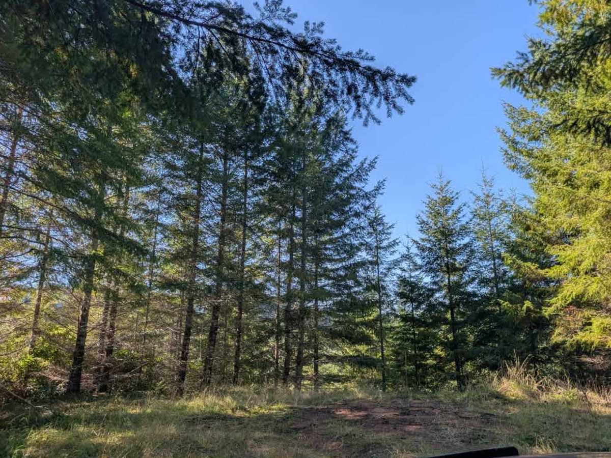
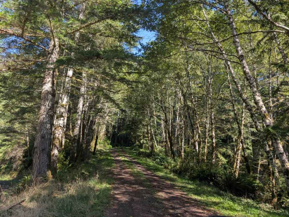
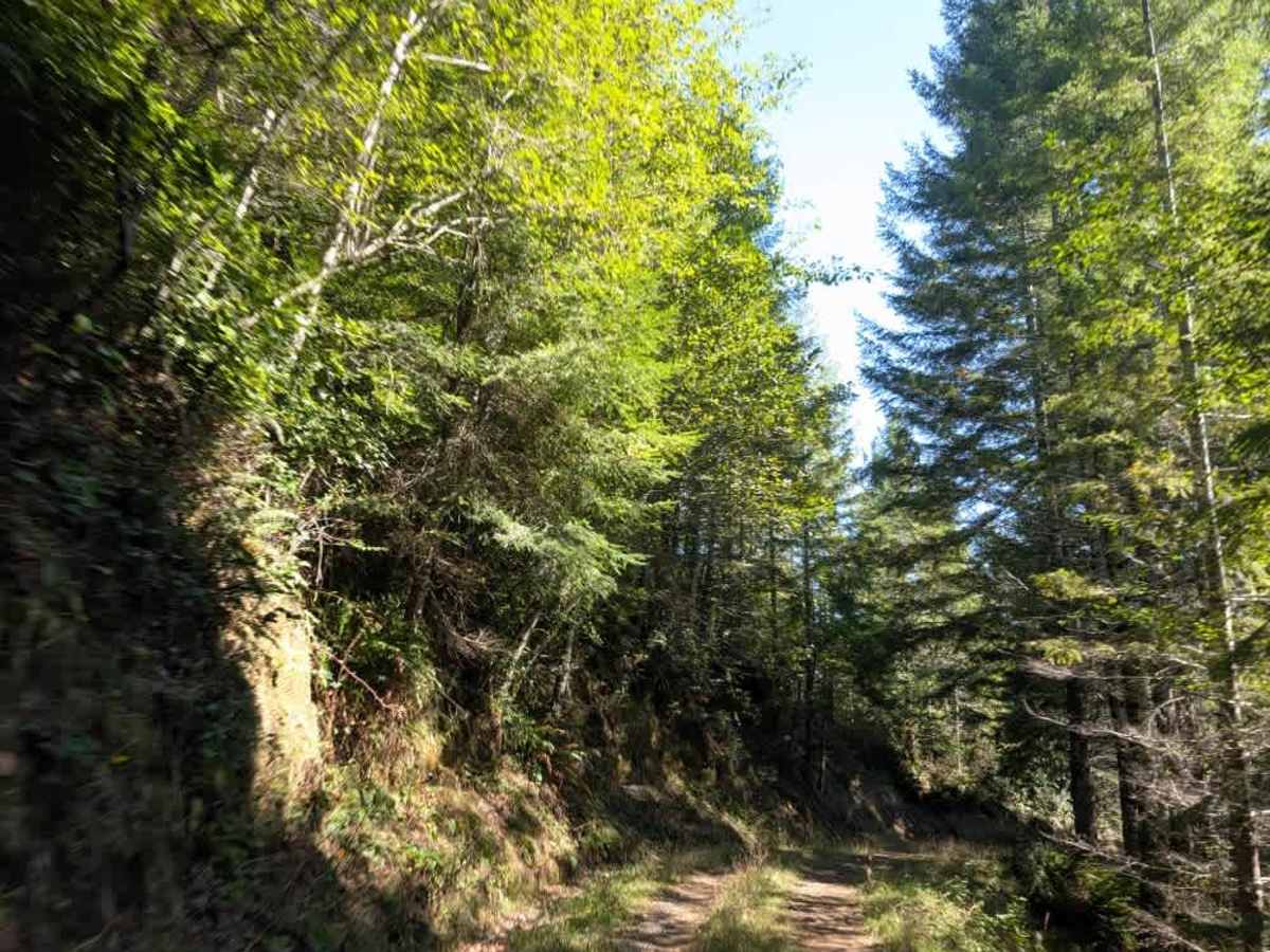
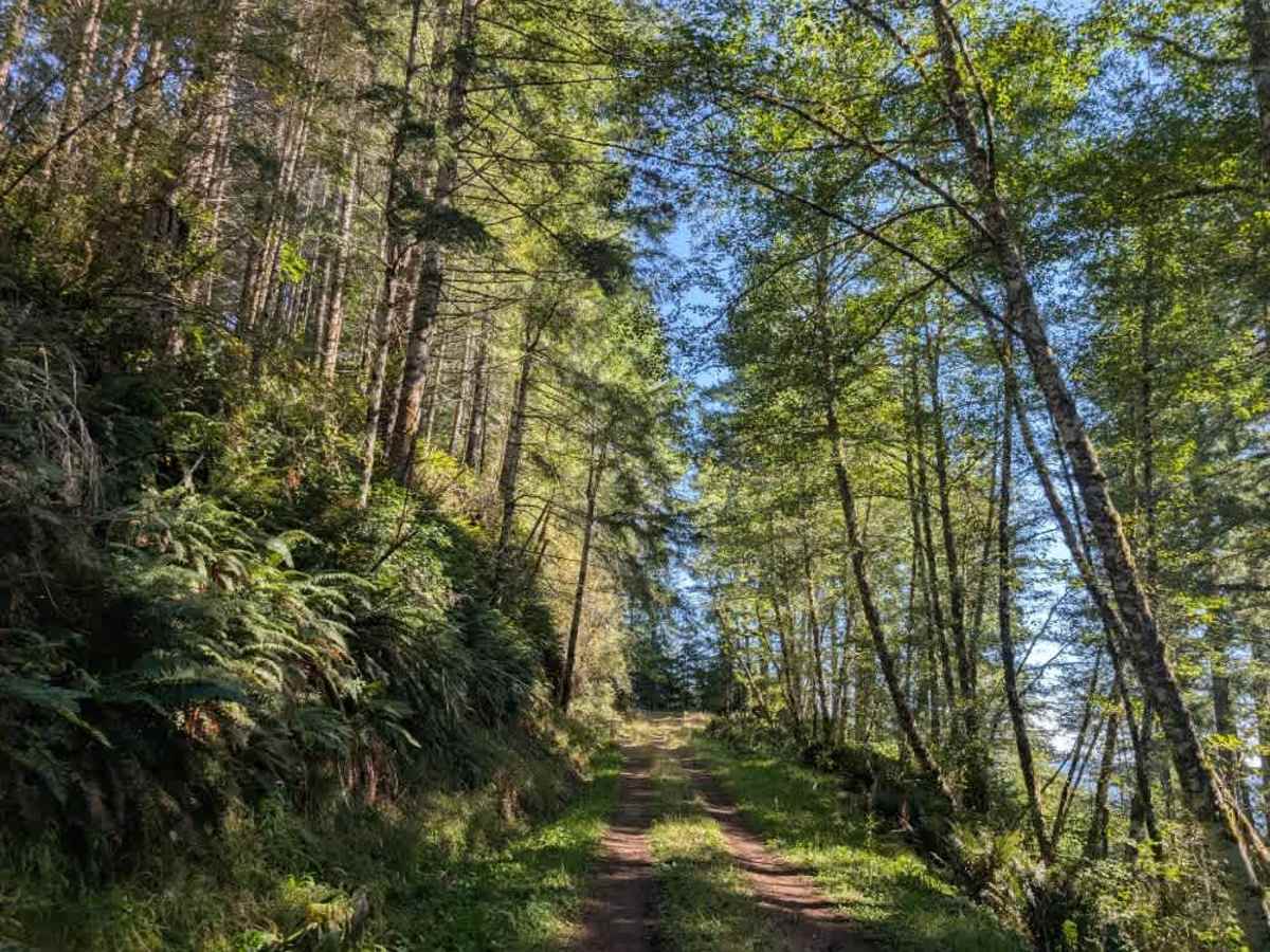
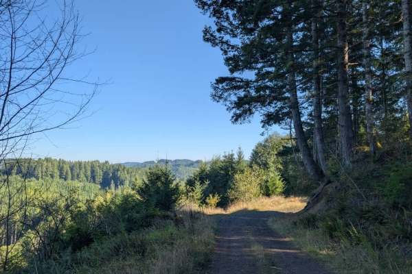
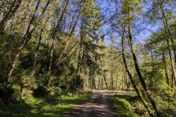
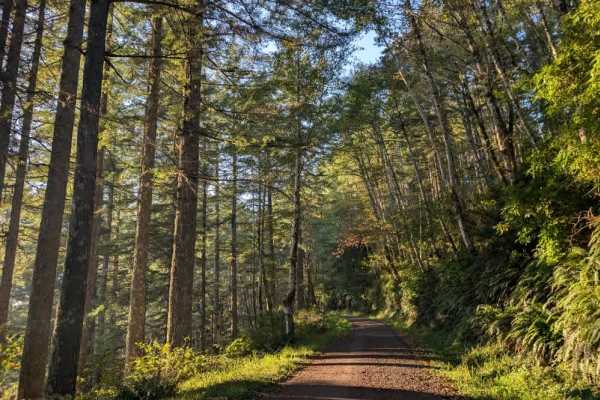
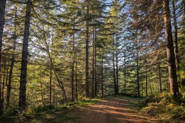
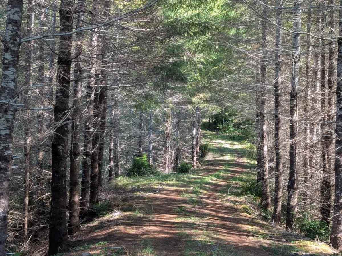
This lovely little trail winds up and down the mountain along a ridgeline, with a series of ascents and descents throughout. The route is relatively well maintained but does not continue beyond its mapped endpoint, where large rocks block the road. Several dispersed camping areas line the trail. As you approach the first camping area, the blocked road is on the left. Although the main route does not continue beyond the rocks, a small nearby road leads to another camping area that is just as nice, allowing groups to spread out between the two areas. Another campsite lies farther along the route, followed by a larger camping area near the end of the trail. The trail is popular with hunters, so be aware of other users. Conditions can also become muddy after rain, so use caution during or after wet weather. This area is open year-round on gravel roads. OHV use is prohibited where vegetation is present on the road during fire season, typically from October. ATVs, UTVs, Side-by-Sides, and Dirt Bikes must always have a valid Oregon ATV Operating Permit sticker.

Photos of 2600

Difficulty

The trail is generally easy, with rolling ascents and descents requiring some attention.

Technical Rating

1

2600 Trail can be accessed by the following ride types:

  • Single Track
  • 50 Inch
  • 60 Inch
  • High Clearance
  • Full Width

2600 Map

The onX Offroad Difference

onX Offroad combines trail photos, descriptions, difficulty ratings, width restrictions, seasonality, and more in a user-friendly interface. Available on all devices, with offline access and full compatibility with CarPlay and Android Auto. Discover what you're missing today!

Open Trail Map