Trail Overview
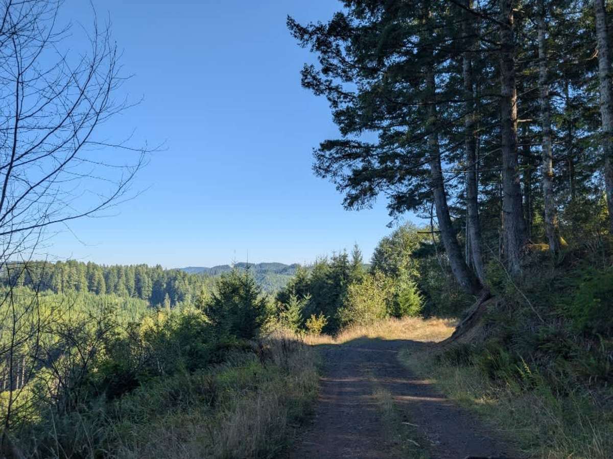
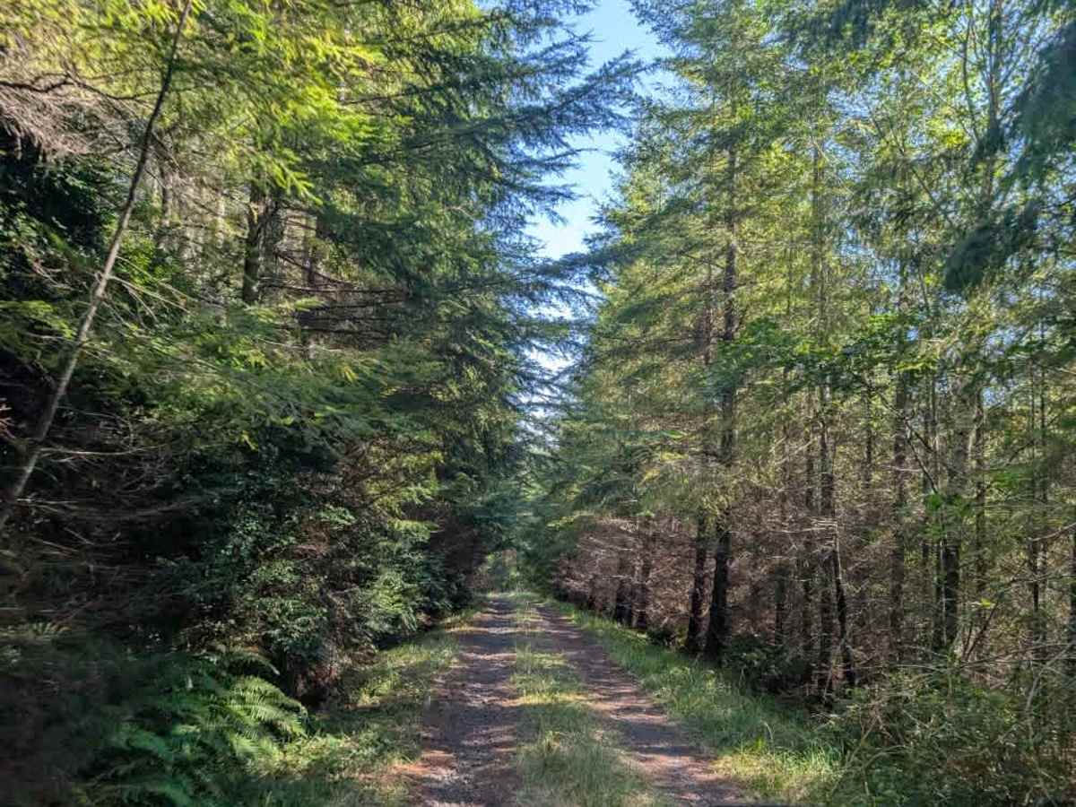
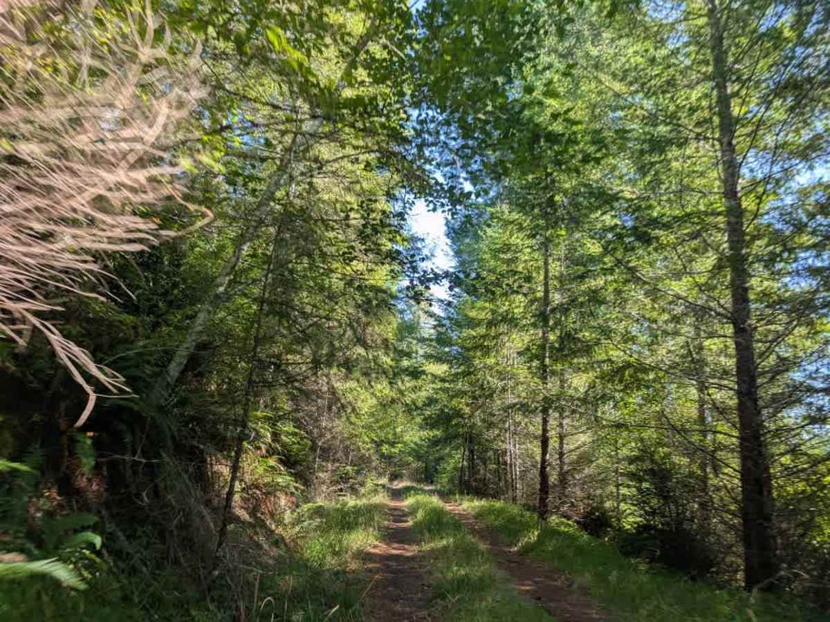
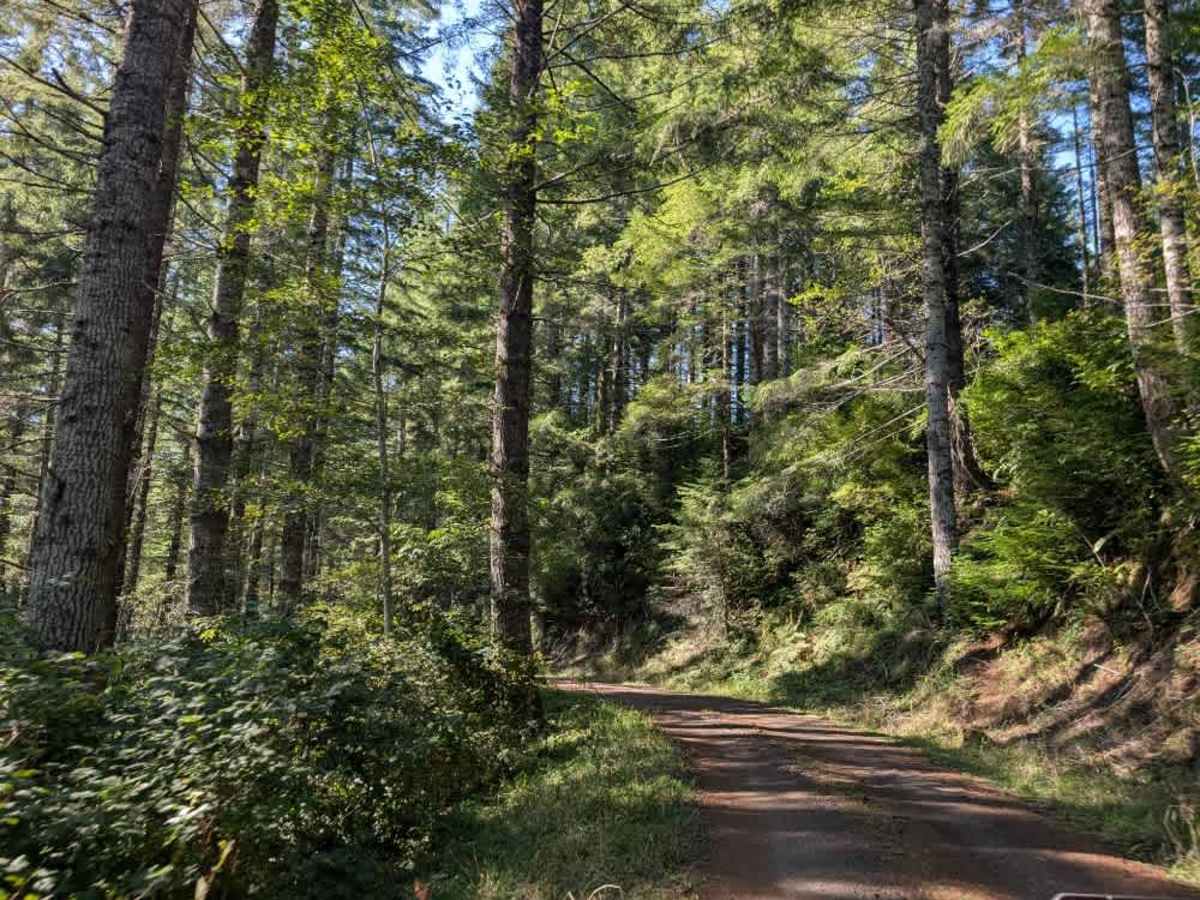
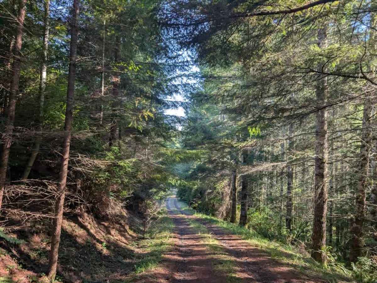
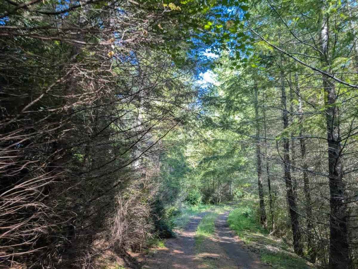
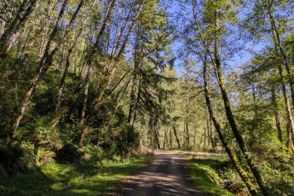
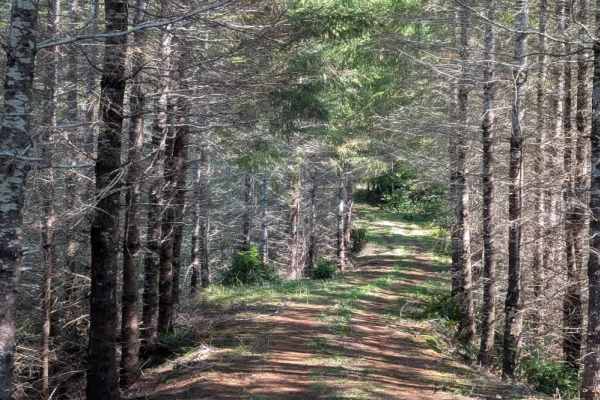
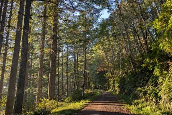
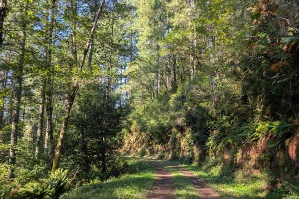
This well-maintained trail winds up and down through an enclosed, forested area, with several dispersed camping opportunities along the route. A beautiful dispersed campsite is located on the left shortly after the beginning, and several side spurs branch off farther along, leading to additional dispersed campsites. Continuing down the main route brings you to another large dispersed campsite on the left, while the trail eventually ends at a large group dispersed camping area. The road is primarily hard-packed gravel compacted by years of vehicle use, with natural vegetation growing over sections of the surface. The trail can be somewhat wet at times but remains easily accessible to most vehicles. Larger, taller vehicles can travel the route, but the enclosed vegetation may cause significant pinstriping and could potentially damage roof racks or roof rails. This area is open year-round on gravel roads. OHV use is prohibited where vegetation is present on the road during fire season, typically from October. ATVs, UTVs, Side-by-Sides, and Dirt Bikes must always have a valid Oregon ATV Operating Permit sticker.