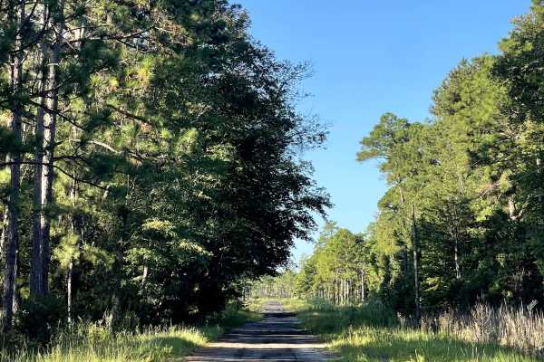
Trail Overview
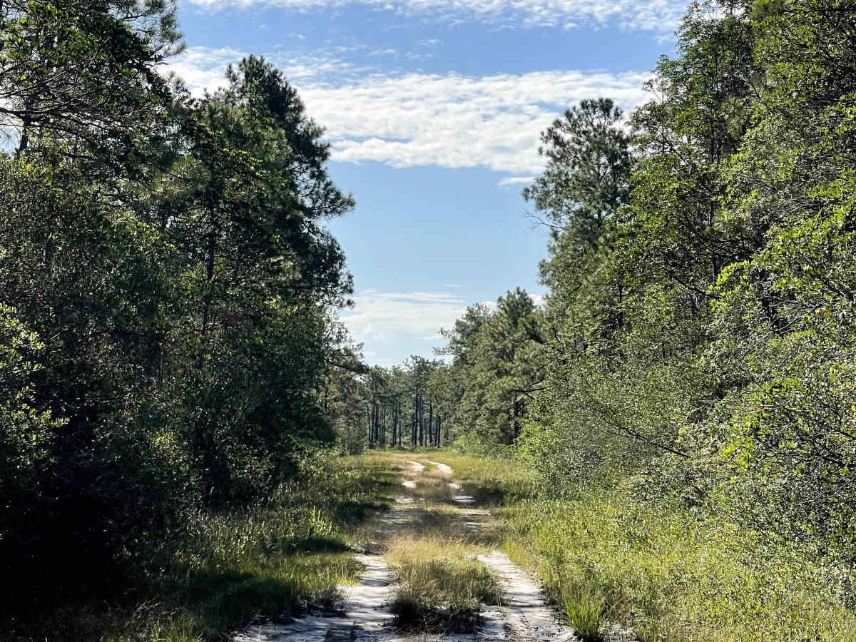
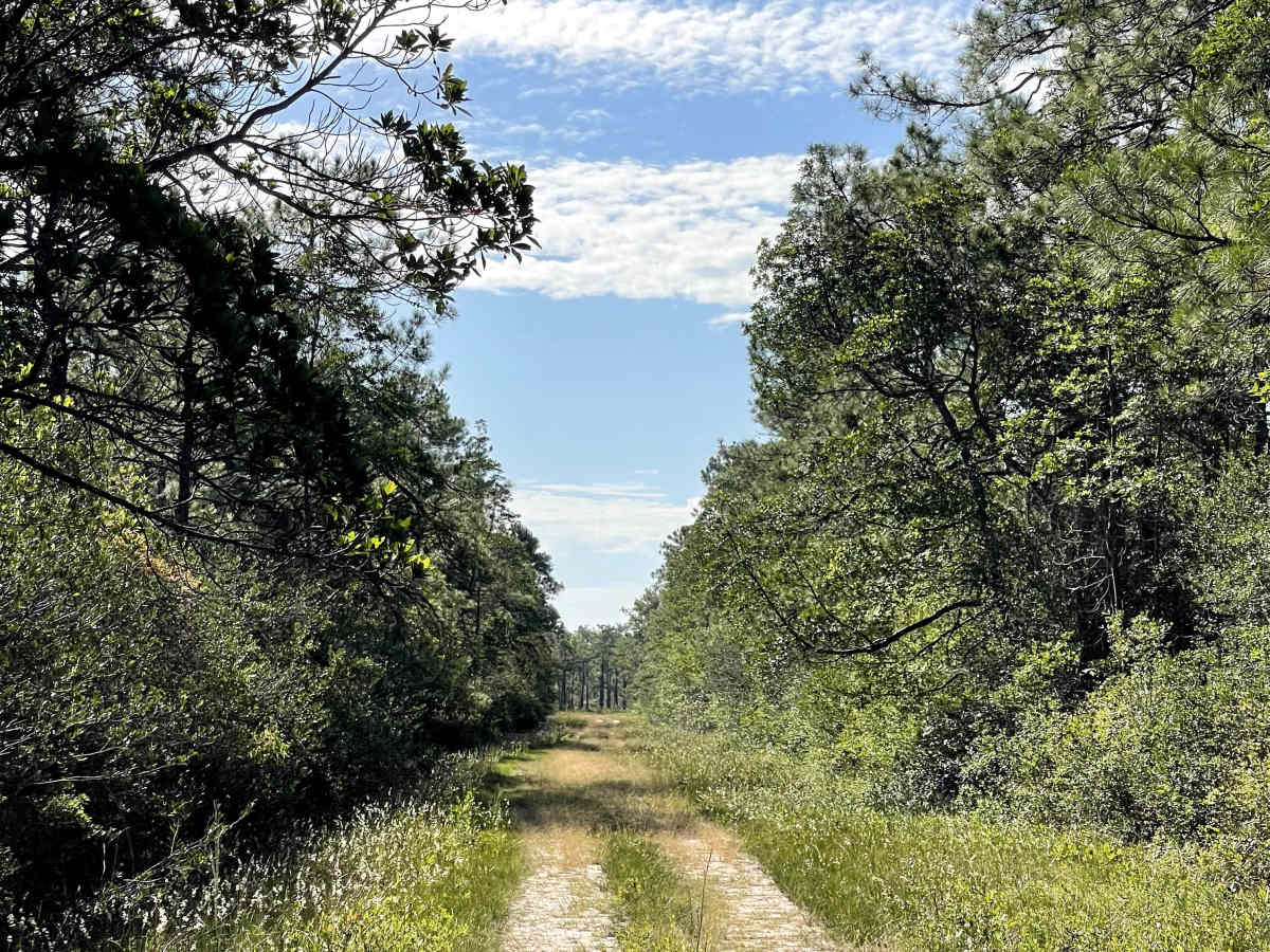
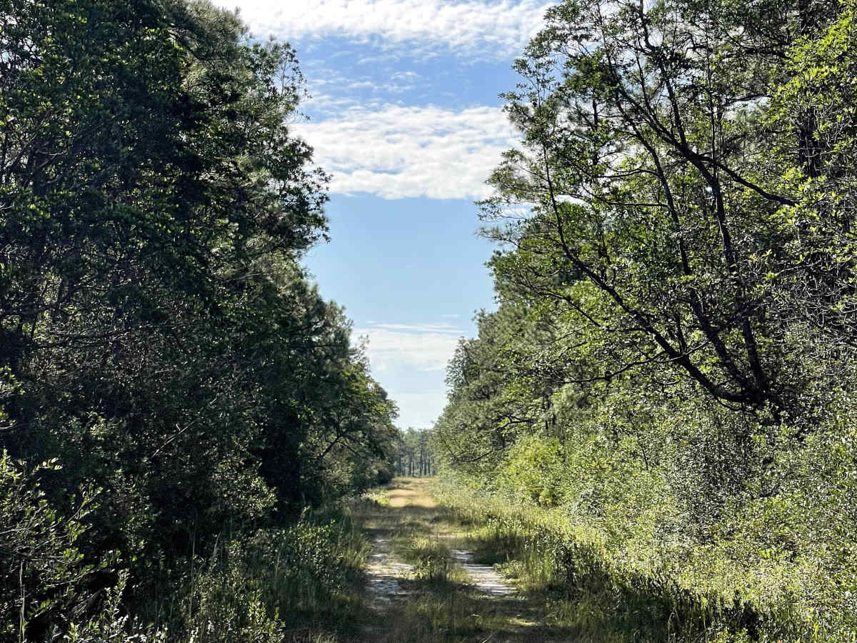
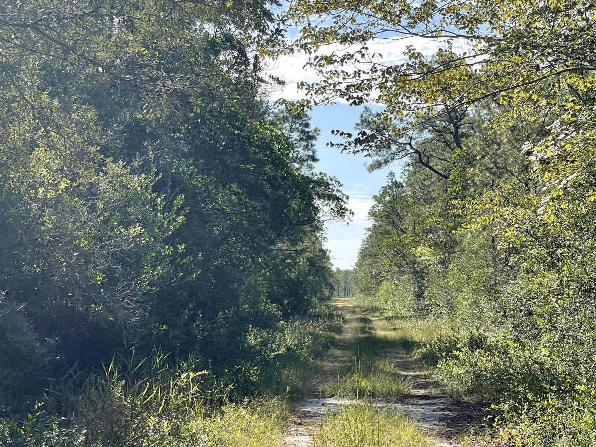
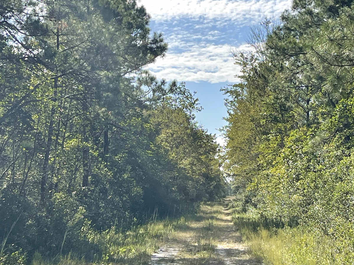
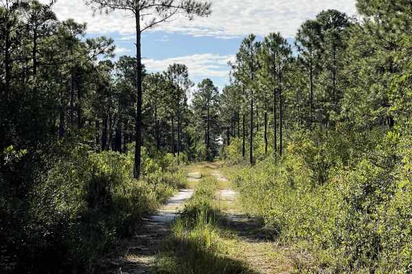
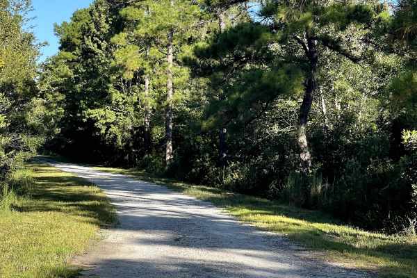
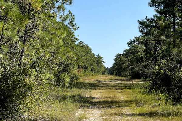
Lenoir Road completes the outer loop through this section of the Boiling Spring Lakes Preserve trail network and provides users with another lightly traveled coastal route to explore. The majority of the trail consists of an overgrown two-track, with vegetation encroaching from both sides in several areas. At the time of mapping, Lenoir Road was free from major obstacles and provided relatively easy travel for appropriately equipped vehicles. As with many trails throughout the BSLP network, weather can have a significant impact on trail conditions. Following periods of heavy rain, users should expect the possibility of standing water and deep mud holes developing along the route. These coastal mud holes can be deceptively deep, so questionable sections should be inspected before attempting them. Under dry conditions, Lenoir Road provides an easy and enjoyable way to complete the outer loop.