Trail Overview
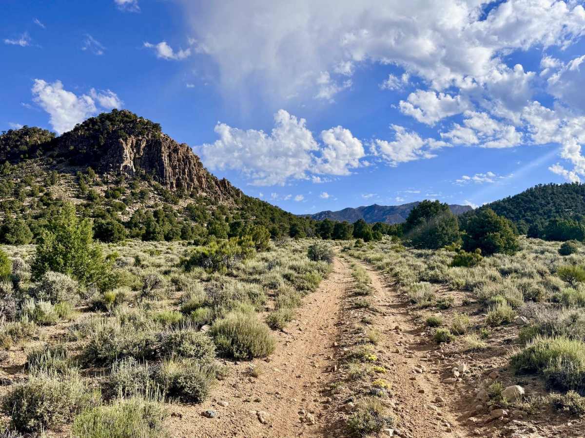
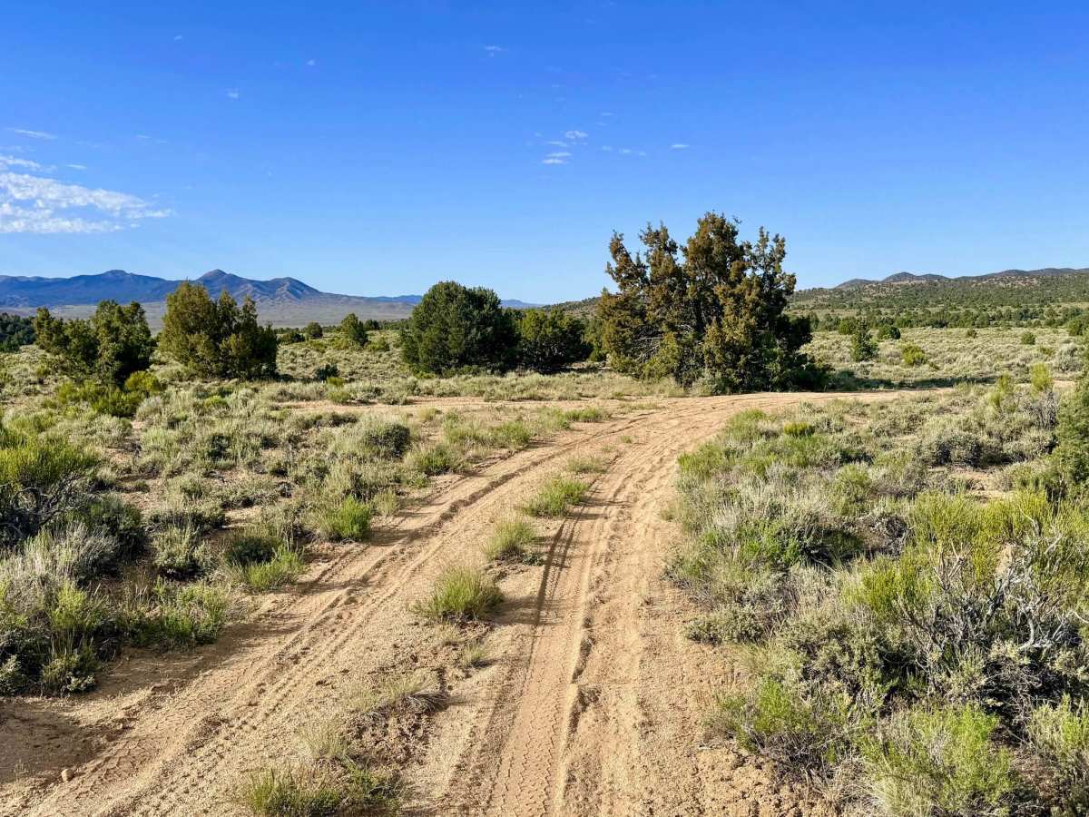
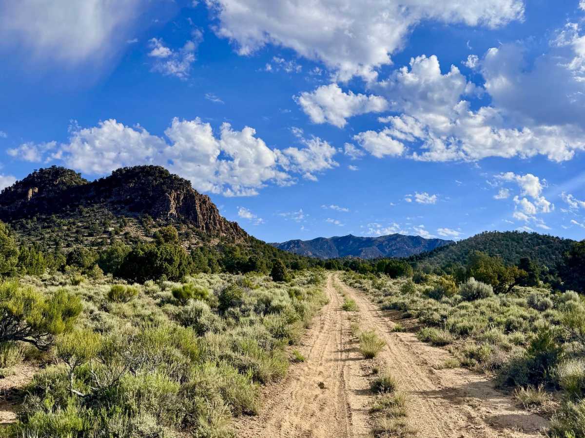
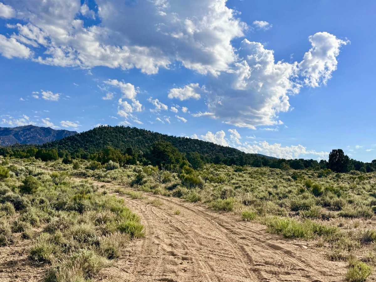
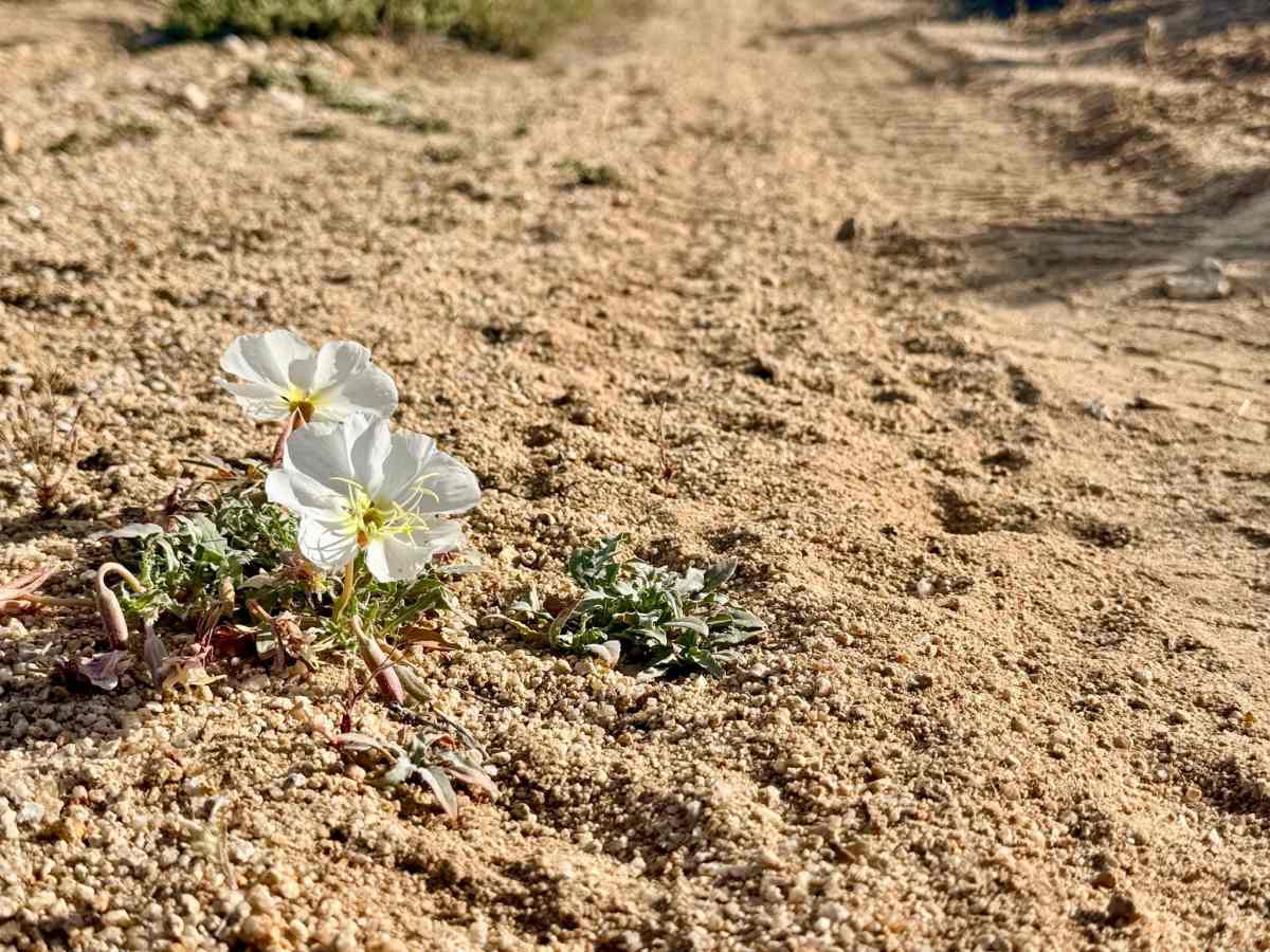
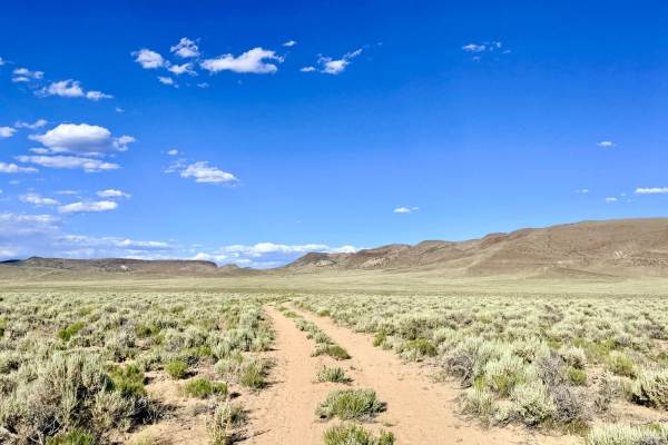
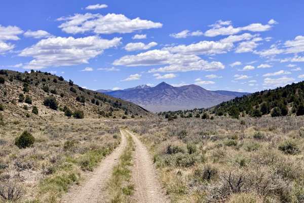
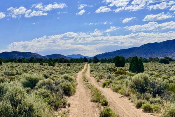
West Mount Priscilla is an out-and-back trail that carries explorers through the rugged southwestern foothills of its namesake peak. The journey offers a magnificent look at the raw beauty of the Great Basin; as you navigate the route, you are flanked by stunning vertical rock formations and jagged volcanic cliff sides. In the late spring and early summer, the trail becomes a vibrant corridor of life, with fields of desert wildflowers bursting into bloom across the sagebrush clearings. The drive remains relatively straightforward for much of its length, but it offers a dramatic shift in character as you approach Hunter Spring. Near the terminus, the parched desert landscape is replaced by a lush, emerald green "oasis" as the trail is overtaken by tall grasses and thick riparian vegetation. The turnaround at the end of the trail near Hunter Spring is extremely tight, only allowing for one vehicle to maneuver at a time. If you are traveling in a group, it is highly recommended to turn around at an earlier pull-out or utilize one of the established cross-routes in the area to avoid a difficult and lengthy backup. This area is a significant magnet for wildlife; keep your binoculars ready for Mule Deer and raptors drawn to the hidden water source. Expect zero cell service for the duration of this mountain run. The high ridges of Mount Priscilla create a total signal shadow. Download offline maps before leaving the Tonopah or Belmont area.
Difficulty
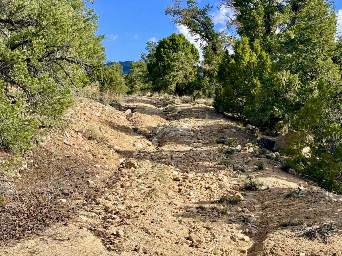
Rated a 3 due to the technical segments encountered near the upper end of the trail. Drivers will face a short but technical rocky climb, established ruts, and slight off-camber sections caused by erosion. The final segment is unmaintained and heavily overgrown. Significant paint damage (Arizona pinstriping) is guaranteed for full-size rigs as the pinyon, juniper, and mountain mahogany crowd the track.

 Offroad