Trail Overview
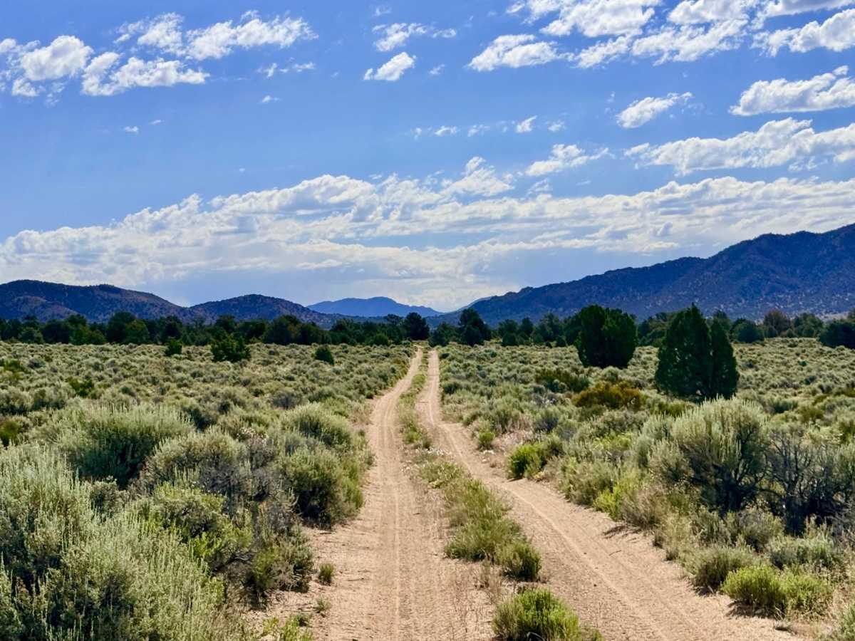
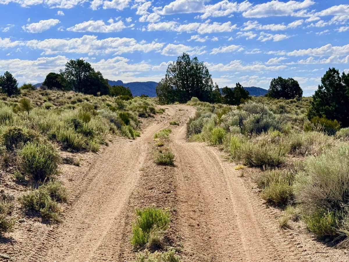
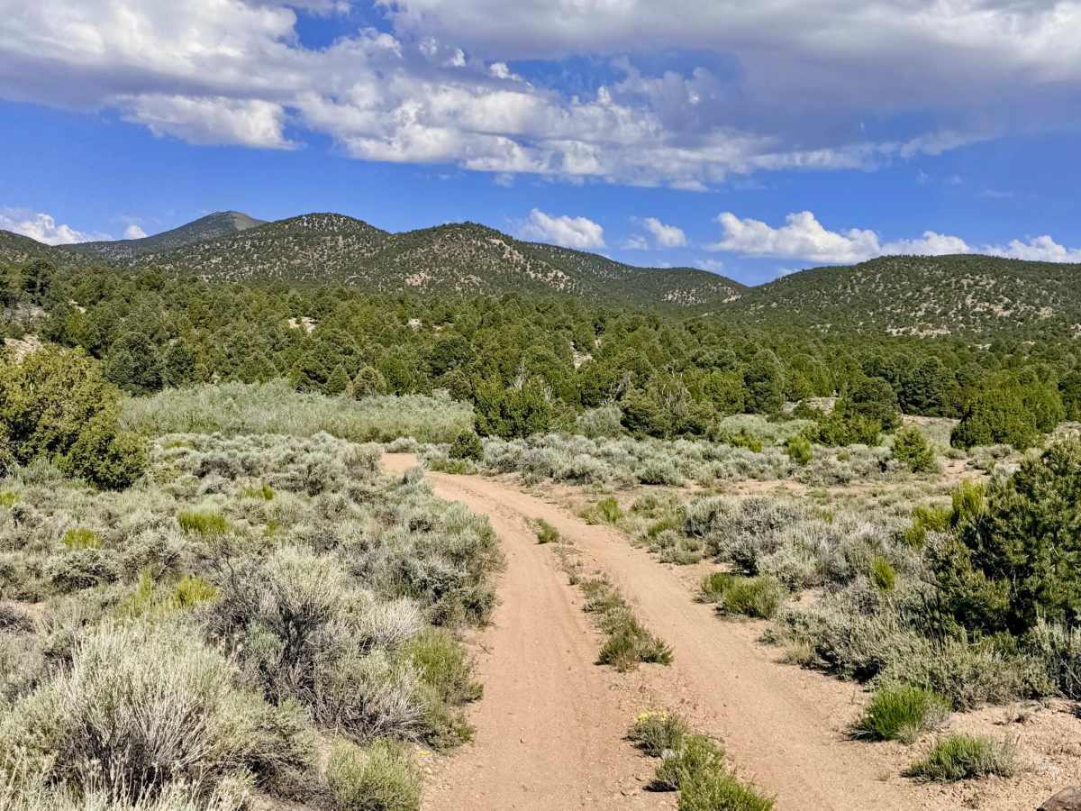
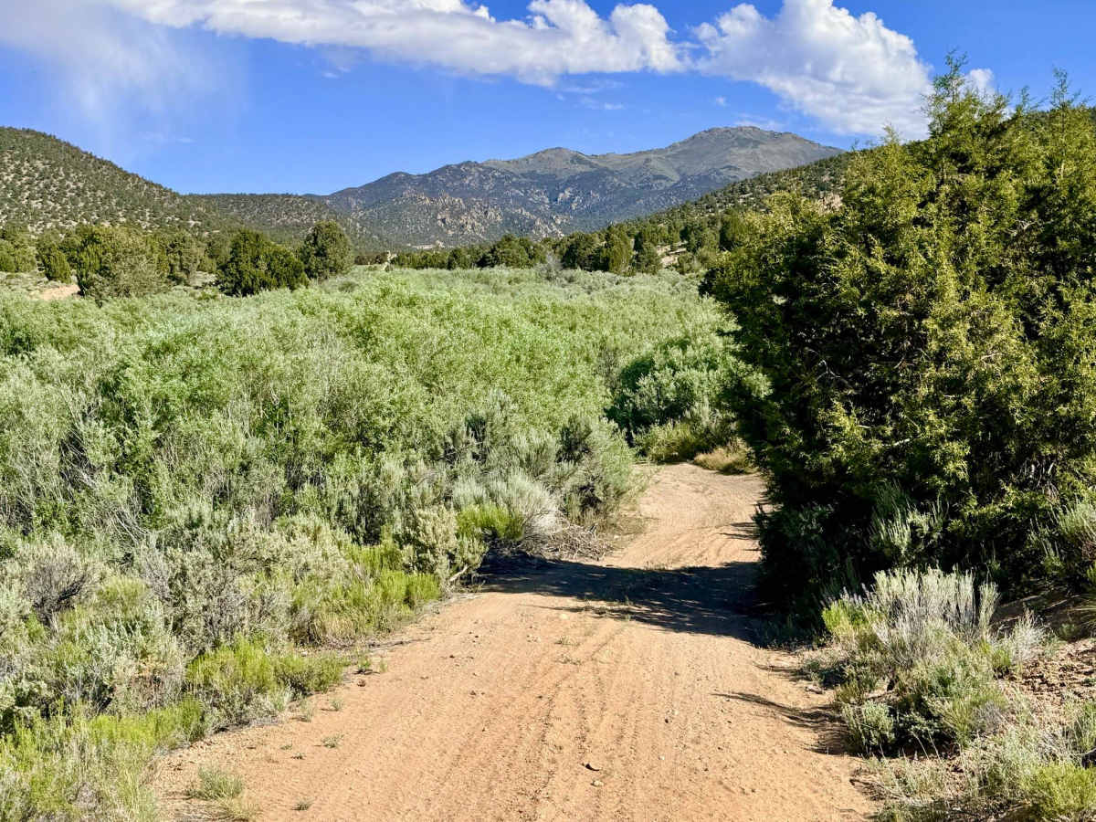
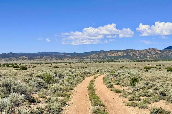
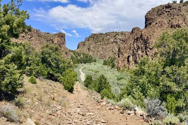
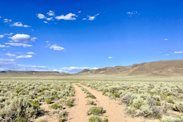
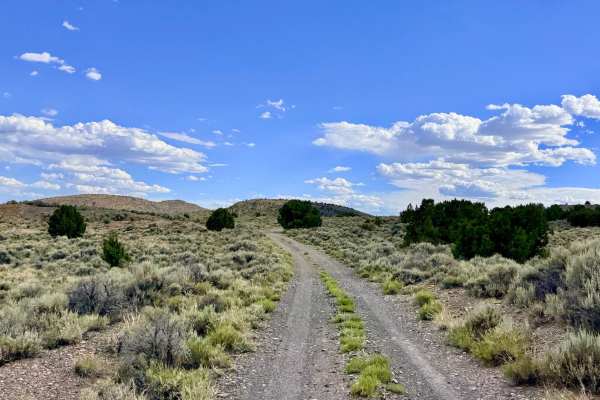
This trail is a favorite for those who appreciate a "flowy" driving experience; the track features rhythmic twists, turns, and several banked or "bermed" corners that make it feel more like a natural rollercoaster than a standard dirt road. It is a premier choice for OHV enthusiasts on side-by-sides, ATVs, or dirt bikes, but it offers a rewarding journey for high-clearance 4x4s as well. The visual experience is magnificent, offering a vibrant cross-section of high-desert life. You will weave through fragrant stands of Utah Juniper and Pinyon Pine, occasionally emerging into open meadows that provide fantastic views of the valley floor below. In the late spring and early summer, the sagebrush is dotted with "pops" of white, blue, and yellow wildflowers, creating a brilliant contrast against the rugged volcanic rock formations that line the route. The trail serves as a strategic hub, connecting the Belmont Campground area in the east to the technical Antone Silver Creek Trail in the west, which leads to high-elevation 9,000-foot mining camps. Use this trail to build a diverse loop from Belmont by linking up with the Priscilla or Antone Silver Creek systems. * You may find a couple of bars of service near the town of Belmont, but it disappears completely as you push further west into the canyon. Download offline maps before heading out.
Difficulty
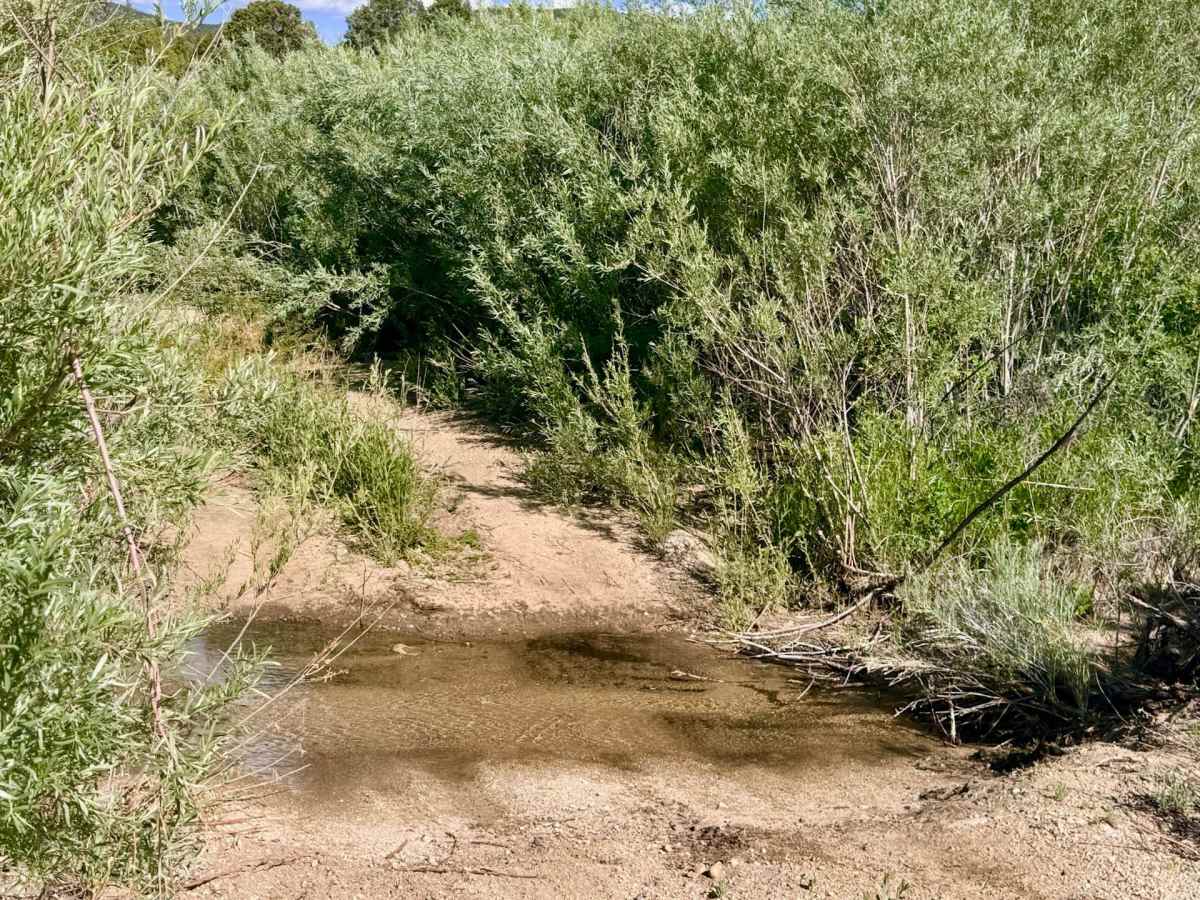
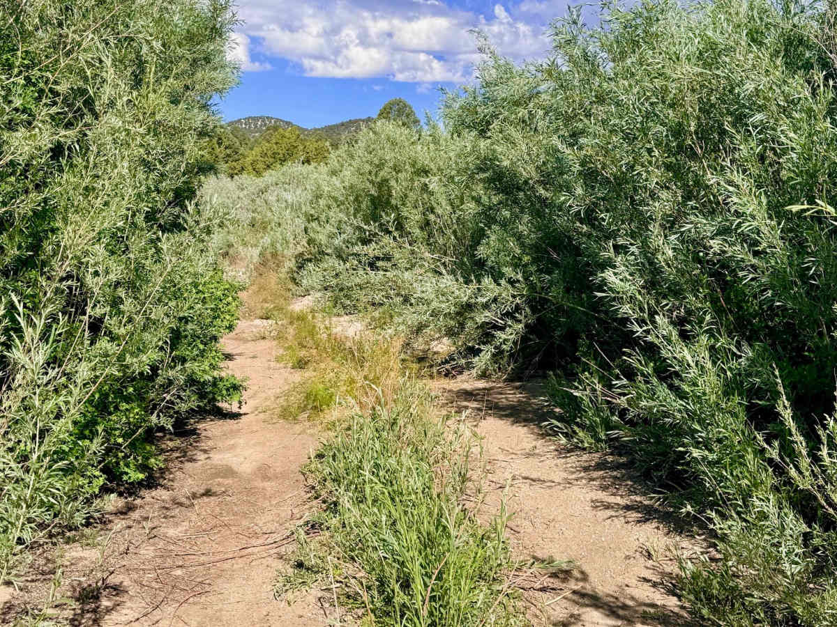
Rated a 3 due to several technical wash crossings and sustained off-camber segments. The washouts are deep enough to require slow approach speeds, and the "bermed" nature of some corners can feel quite lopsided in a high-center-of-gravity vehicle. This is a narrow, intimate mountain track. Expect to clip your mirrors on sagebrush or pinyon branches in several tight segments. Full-size vehicles should exercise extreme caution.
History
Lower Cross Canyon was a vital "secondary" corridor during the Belmont Silver Boom of the 1870s. While the heavy freight wagons stuck to the wider canyon bottoms, these higher foothill tracks were utilized by prospectors and "wood hawks" who moved between the town of Belmont and the isolated mountain camps like Antone. The interesting rock formations you see today once served as landmarks for 19th-century teamsters who navigated this "sea of sagebrush" by line-of-sight to reach the high-altitude silver and mercury mines that fueled the regional economy.