Trail Overview
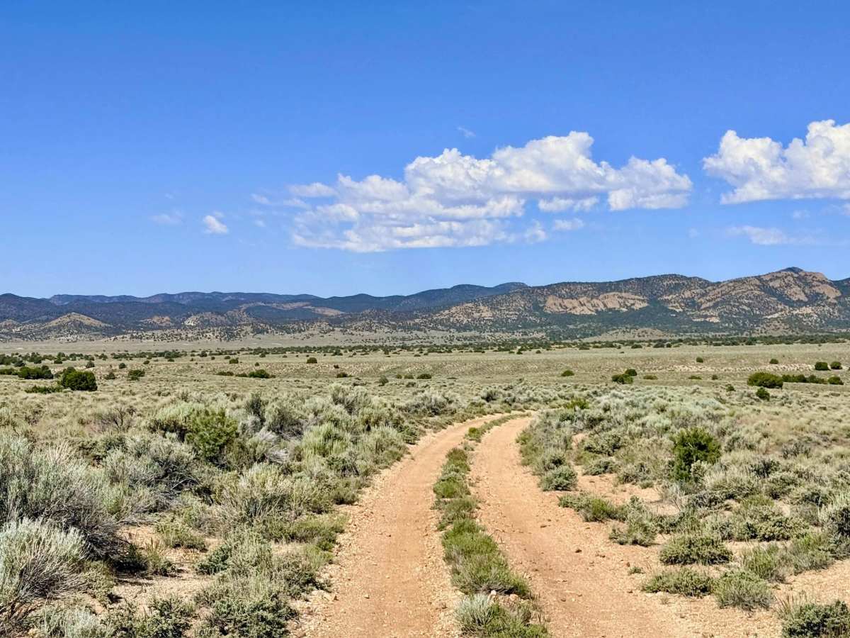
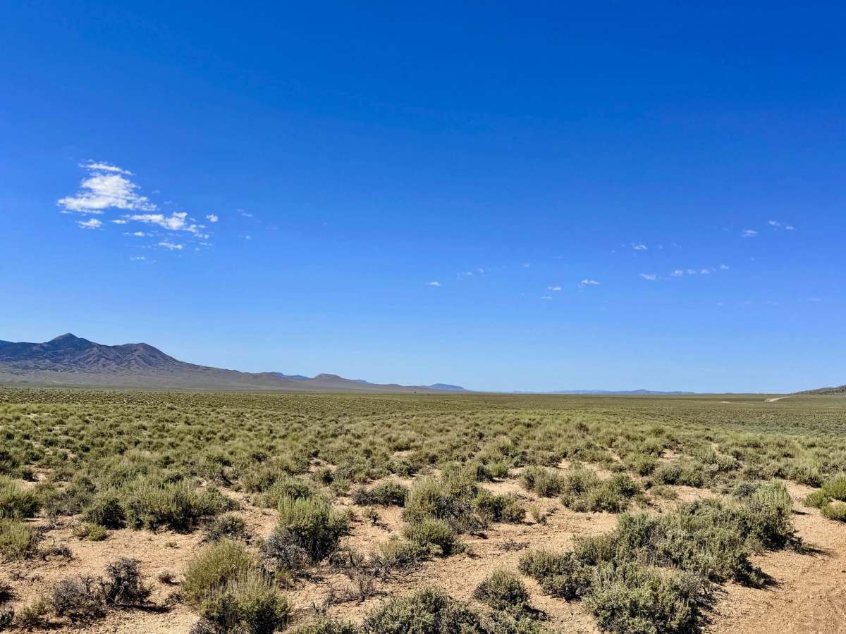
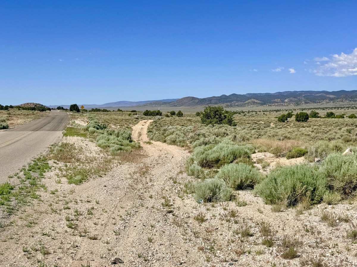
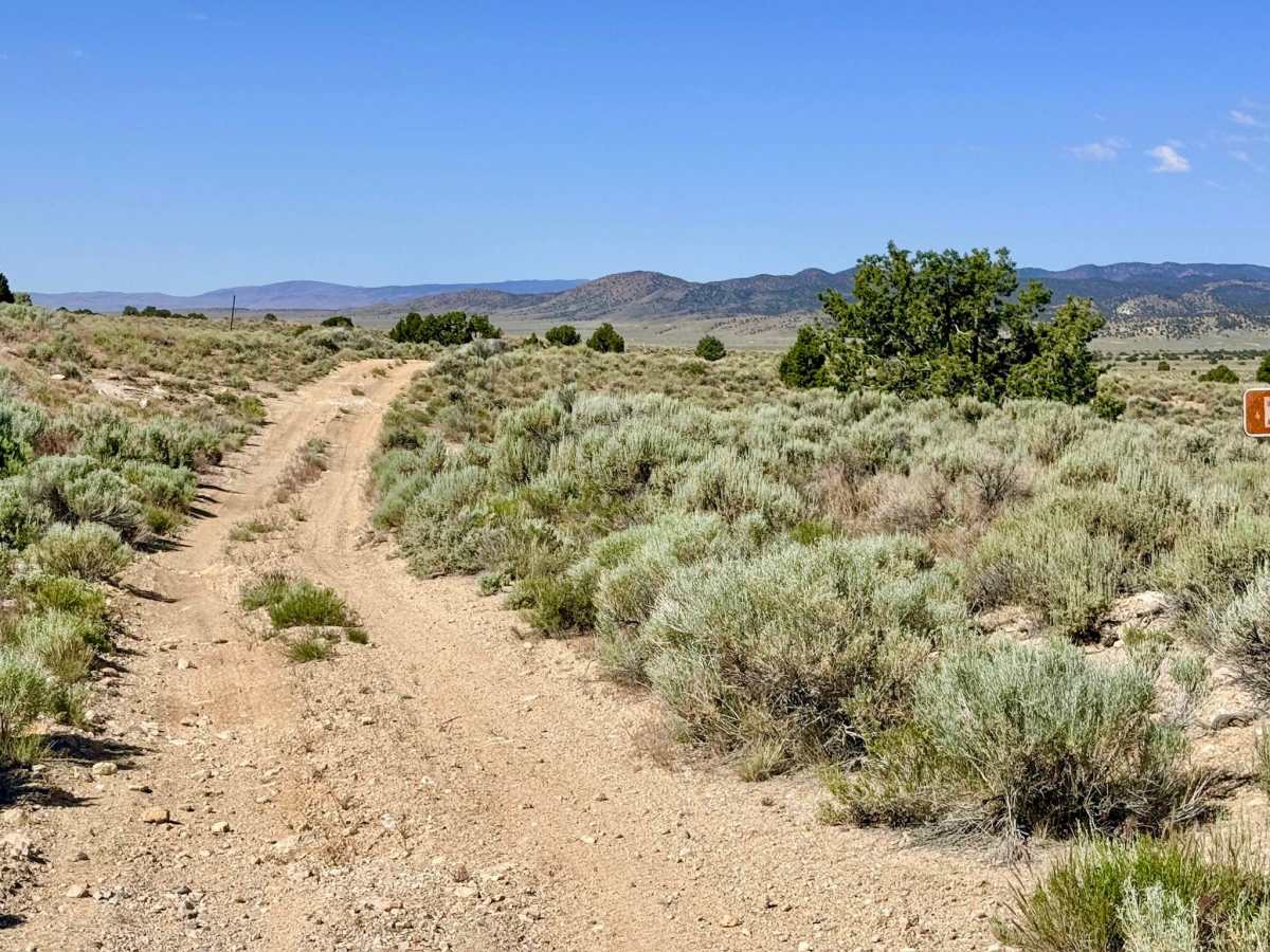
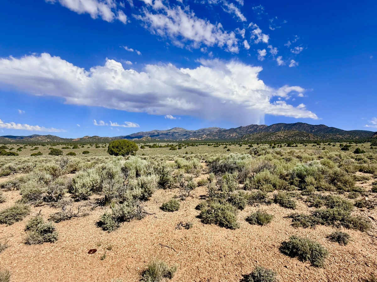
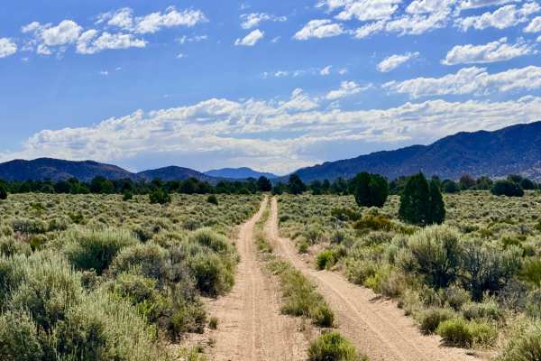
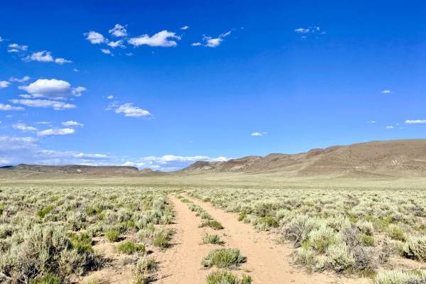
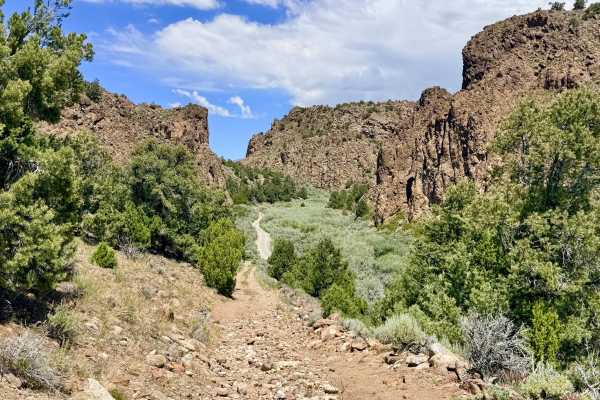
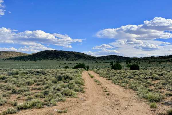
FS183, also designated as MCR974500 on local maps, is an exhilarating and fast-paced "sandy blast" that serves as a premier off-road link through the Toquima foothills. Paralleling the paved Belmont Road, this trail is the perfect choice to maintain a dirt-only route between the historic town of Belmont and the technical high-country loops of the Antone Silver Creek system. The drive is a rhythmic experience, constantly twisting, turning, rising, and falling as it follows the undulating contours of the high-desert floor. The visual rewards are significant, particularly in the late spring and early summer when the sagebrush flats are blanketed in white and yellow wildflowers. As you cruise the soft, silty track, you are treated to magnificent views of the shimmering valley floor to the south and the rugged mountain peaks to the north. While the majority of the trail allows for a comfortable, spirited pace, drivers should remain focused on the terrain. This area is a known thoroughfare for Pronghorn Antelope and various raptors; keep your binoculars ready for early morning sightings on the open flats. This is a vital connector. Use it to build a full day of backcountry travel by linking the Belmont outskirts directly to the 9,000-foot peaks of the Antone system without ever touching pavement. * You may find a bar or two of service near the town of Belmont, but it cuts out completely as you head west. Download offline maps before leaving the staging area.
Difficulty
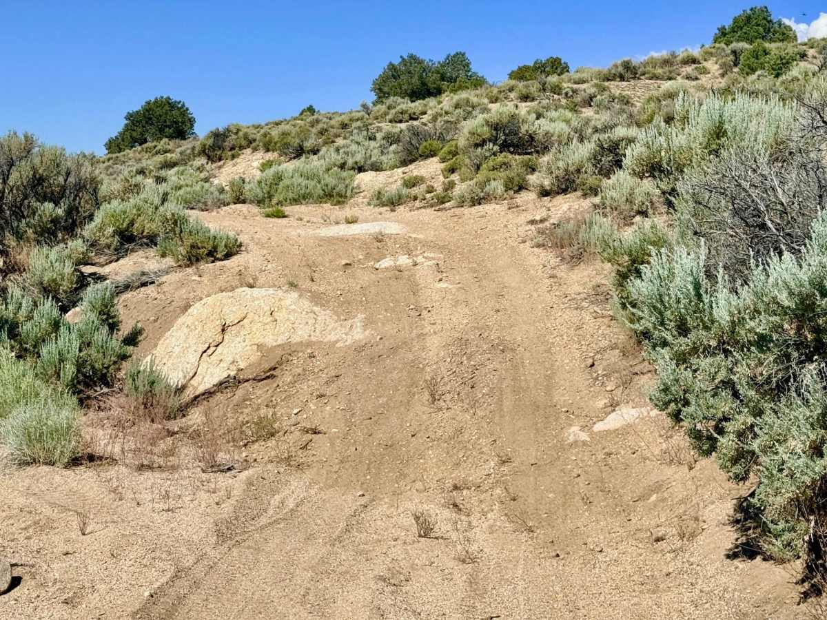
While much of the trail feels like an easy 2, it is rated a 4 due to a single technical gatekeeper: a steep, loose, and off-camber climb into or out of a major wash. This specific obstacle requires high clearance and good traction. The trail features extensive sections of soft sand. Maintaining steady momentum is key to a smooth ride.
History
This route traces the historical "secondary" supply lines of the 1870s Belmont Silver Boom. In the late 19th century, while heavy wagons took the main roads, the smaller paths like FS 183 were the preferred corridors for prospectors and "wood hawks" who needed to move quickly between the townsite and the isolated mountain camps. The "MCR" (Nye County Road) designation highlights the route's long-standing importance as part of the regional infrastructure that allowed the "Silver Queen" of Belmont to thrive for decades.

 Offroad