Trail Overview
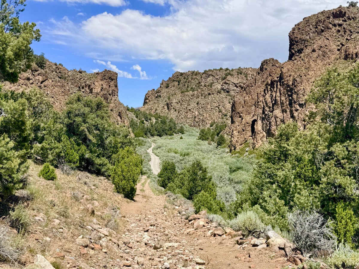
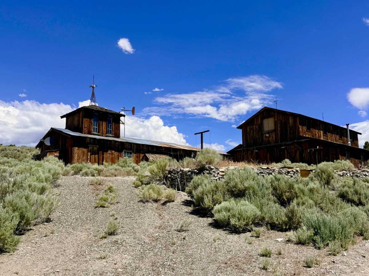
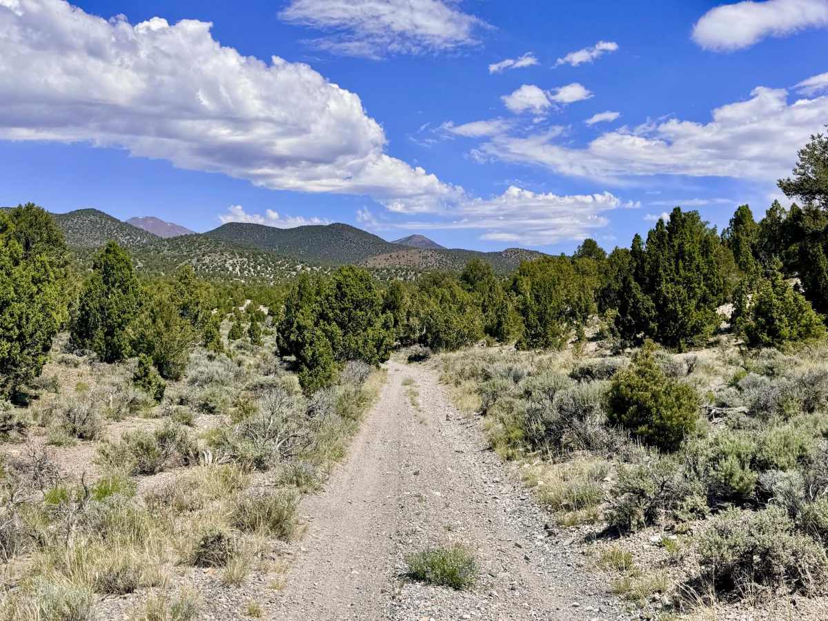
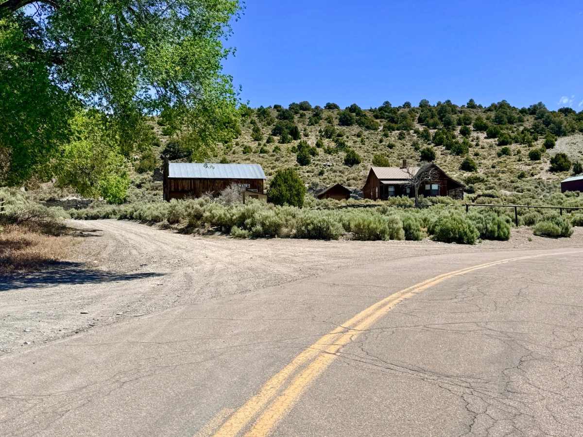
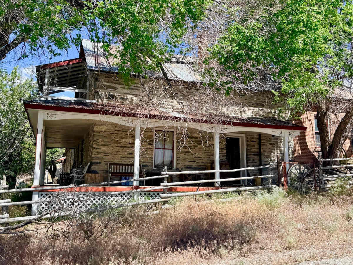
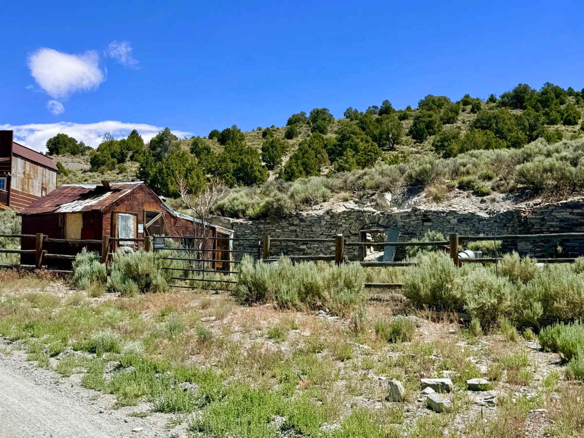
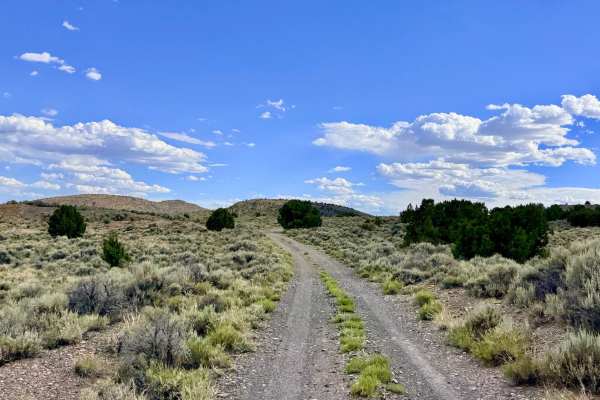
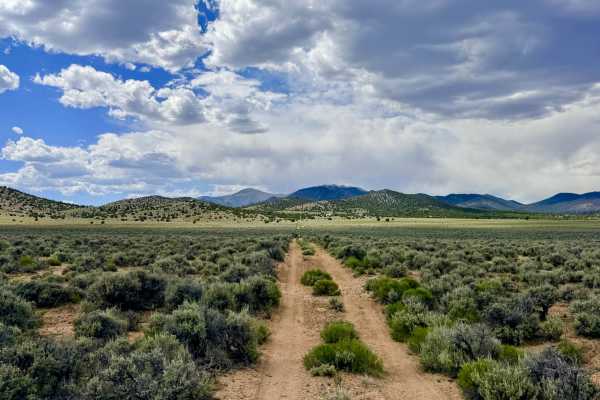
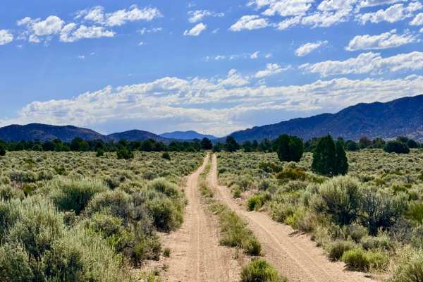
This trail serves as a rugged gateway out of the legendary mining town of Belmont. The journey begins with a fascinating transit through the outskirts of town, where 19th-century ruins stand side by side with modern off-grid residences. Once you pass the final house, the character of the route shifts instantly. The road transitions from dirt to technical rock, and the backcountry adventure begins. This trail winds through the lower foothills, providing an essential link to a vast network of smaller tracks and acting as a shortcut to the Round Mountain Meadow Creek Trail. The driving is physically engaging and requires a constant "tactical" mindset. As the trail gains elevation, it provides a magnificent visual reward; in the late spring and early summer, the landscape is transformed by a breathtaking bloom of wildflowers. This route carries you toward the higher-altitude meadows and mine sites, offering a profound sense of isolation and adventure just a few miles from town. This is a multi-use trail and is a designated mountain biking route for the town of Belmont. Please share the road, maintain a slow speed on blind corners, and give cyclists plenty of room to maneuver. Expect zero cell service for the duration of this trail. Like most of the central Nevada desert, the topography creates a total signal dead zone. Download offline maps before leaving the Tonopah or Highway 376 area.
Difficulty
Rated a 4 due to the combination of long, loose, and steep rocky hill climbs. Drivers will navigate deep washouts and sustained off-camber ruts that require high clearance and careful throttle control to prevent sliding or high-centering. The track is punctuated by the occasional large boulder situated in the middle of the trail. During heavy rain or spring snowmelt, the technical ruts can deepen significantly, and the loose volcanic rock can become slippery.
History
The Anderson trail traces the 19th-century industrial lifeblood of the Belmont District. During the silver boom of the 1870s, Belmont was the majestic county seat of Nye County, and its survival depended on these very foothills. This trail likely follows the original paths used by "wood hawks" and teamsters who hauled mountain timber to fuel the massive stamp mills. The ruins you pass at the start of the trail are silent witnesses to a time when Belmont was a bustling metropolis of the desert, boasting several thousand residents and competing for dominance with Tonopah.

 Offroad