Trail Overview
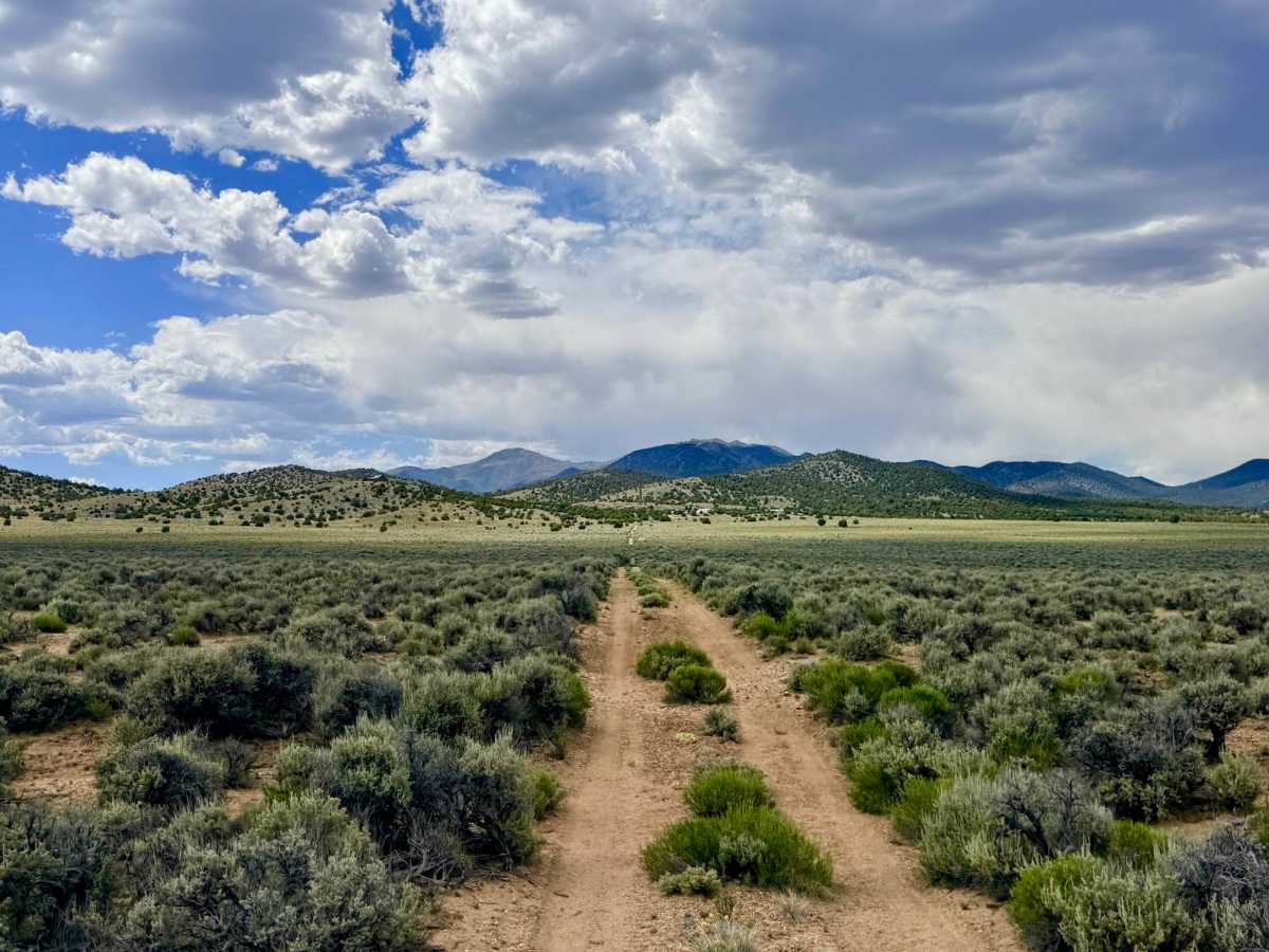
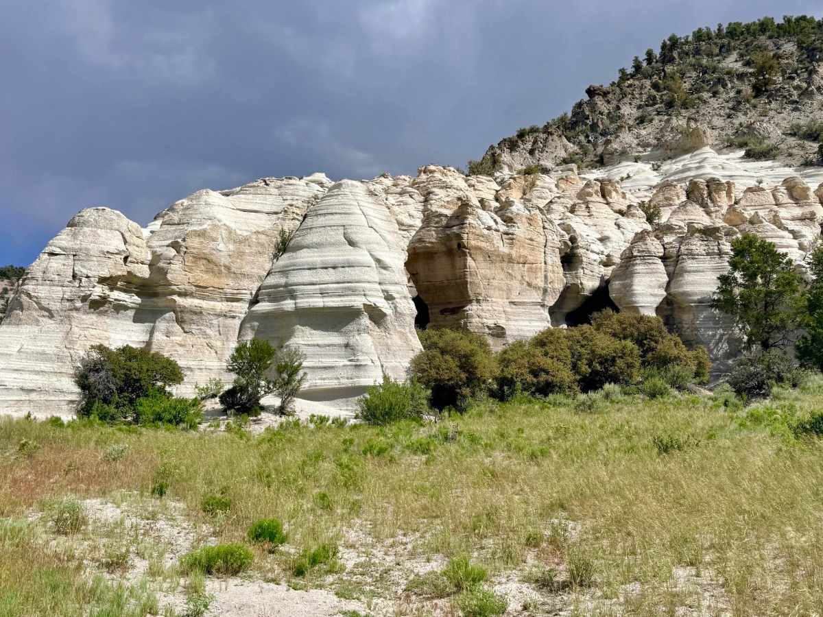
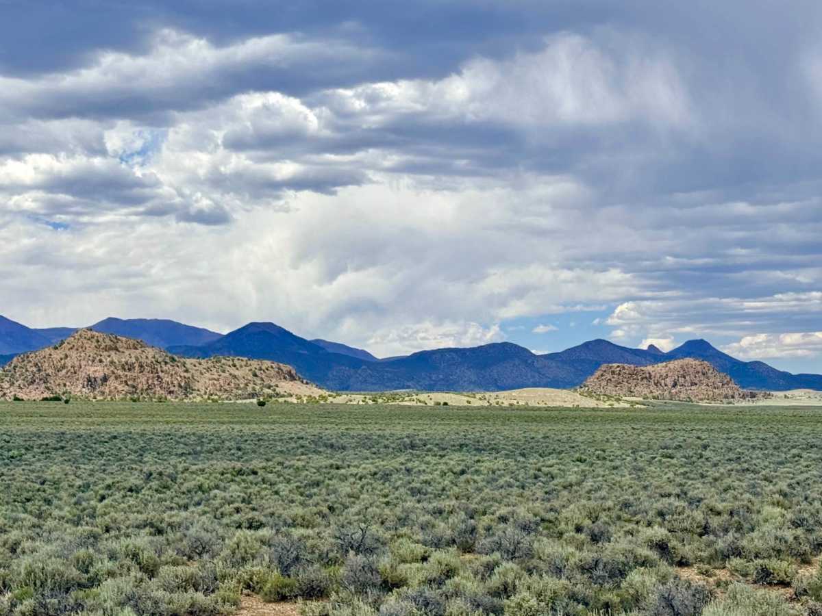
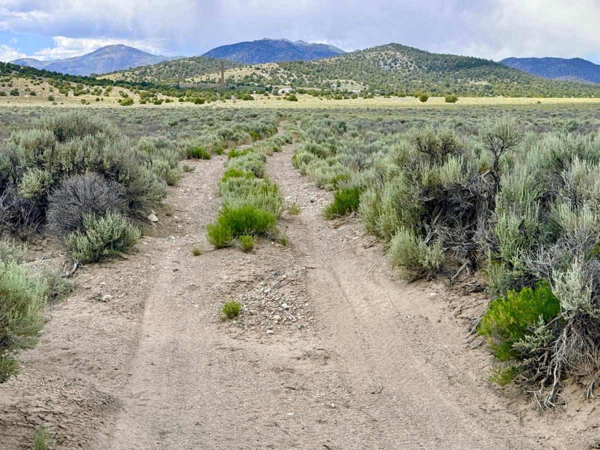
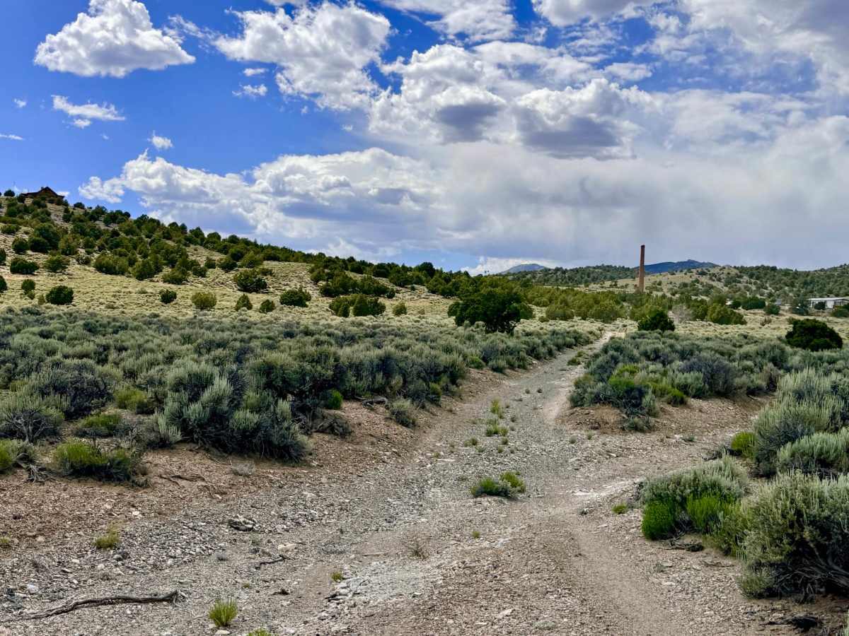
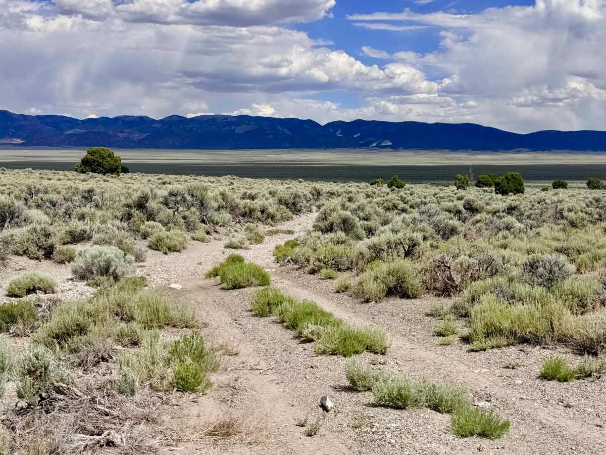
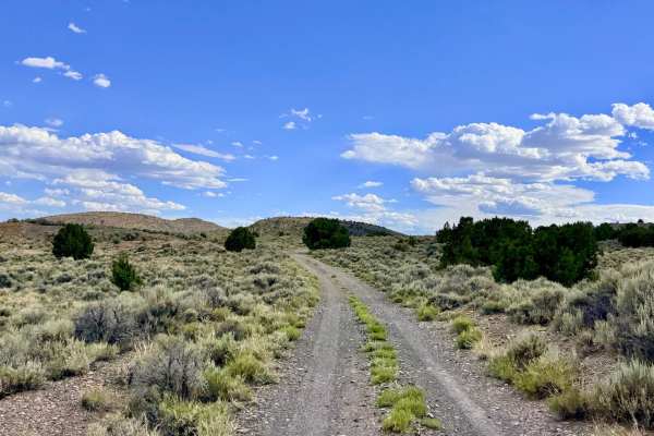
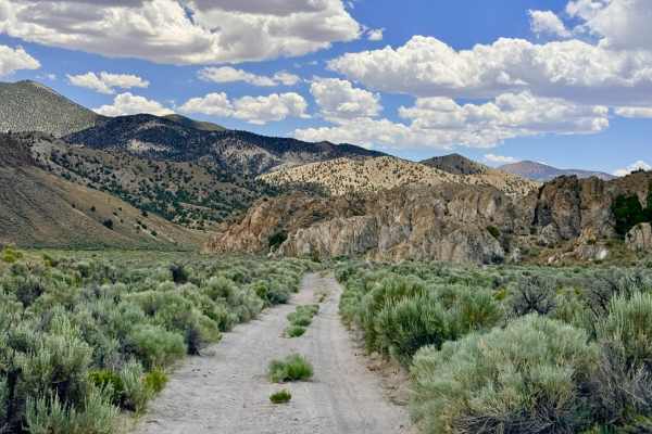
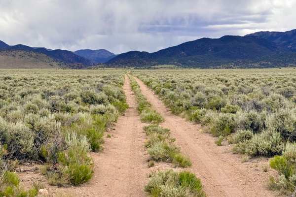
This route offers an incredible contrast in terrain, moving from the sun-bleached valley floor into a lush, geological sanctuary. The first portion of the journey across the desert floor provides wide-open perspectives and a steady pace through the silver sagebrush. From this elevated basin, drivers are treated to magnificent 360-degree views of the surrounding mountain ranges. In late spring and early summer, the desert floor erupts with a brief but vibrant tapestry of wildflowers. While the valley crossing is scenic, it serves primarily as the approach to the trail’s true crown jewel: the canyon itself. Once you descend into White Rock Canyon, the landscape shifts into a dramatic display of towering white spires. These unique features eroded from ancient volcanic ash create a labyrinth of stone "nooks" and small caves tucked into the cliff sides. The canyon floor is surprisingly lush compared to the parched flats above, offering a profound sense of isolation. This is a premier destination for those who enjoy getting out of the rig to explore; the white rock formations are like nothing else in the district and beg for a long afternoon of foot exploration. While level ground in the canyon bottom is limited by tall mountain grasses, there is an outstanding dispersed campsite located on the hill just before you drop into the canyon. This spot offers a spectacular bird's-eye view of the white spires below and excellent wind protection. Expect zero cell service for the duration of this trail. The canyon’s vertical white walls create a total signal dead zone. Download offline maps before leaving the Tonopah or Highway 6 area.
Difficulty
Rated a 3 due to several exceptionally deep washouts and sustained off-camber sections, particularly within the first few miles of the trail. These technical "gatekeepers" require high clearance and a slow, angled approach to manage the steep entry and exit transitions
History
The "White Rock" in this canyon is likely Rhyolitic Tuff, the compressed remains of massive volcanic ash clouds that settled here millions of years ago. To the 19th-century pioneers, these bright white spires served as iconic "navigation beacons" in a landscape that often looked identical for miles. Canyons with caves like these were also vital sanctuaries for the Western Shoshone, providing natural shelter and a reliable base for hunting game drawn to the lush canyon vegetation. Today, the trail offers a rare connection to the raw, pre-industrial beauty of the Great Basin.

 Offroad