Trail Overview
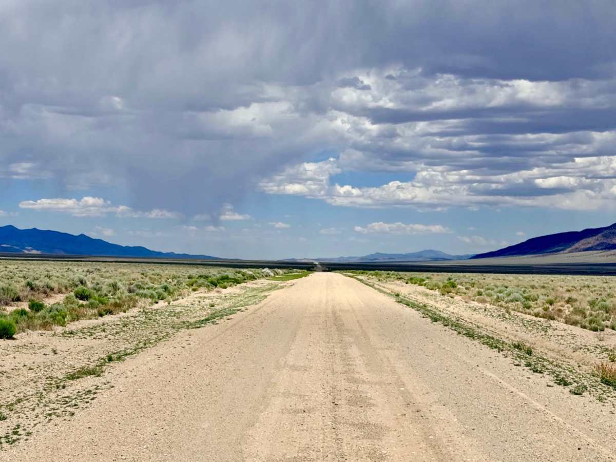
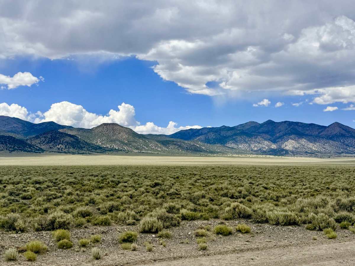
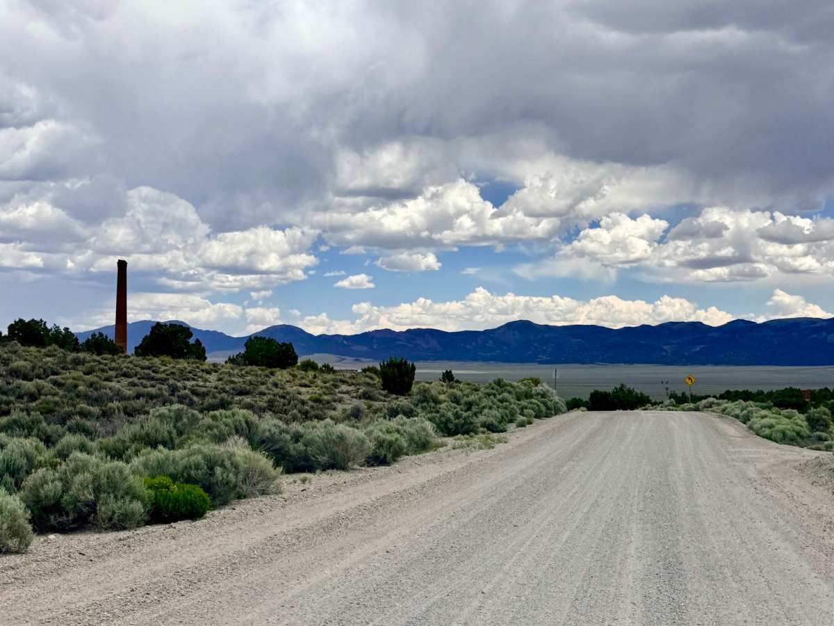
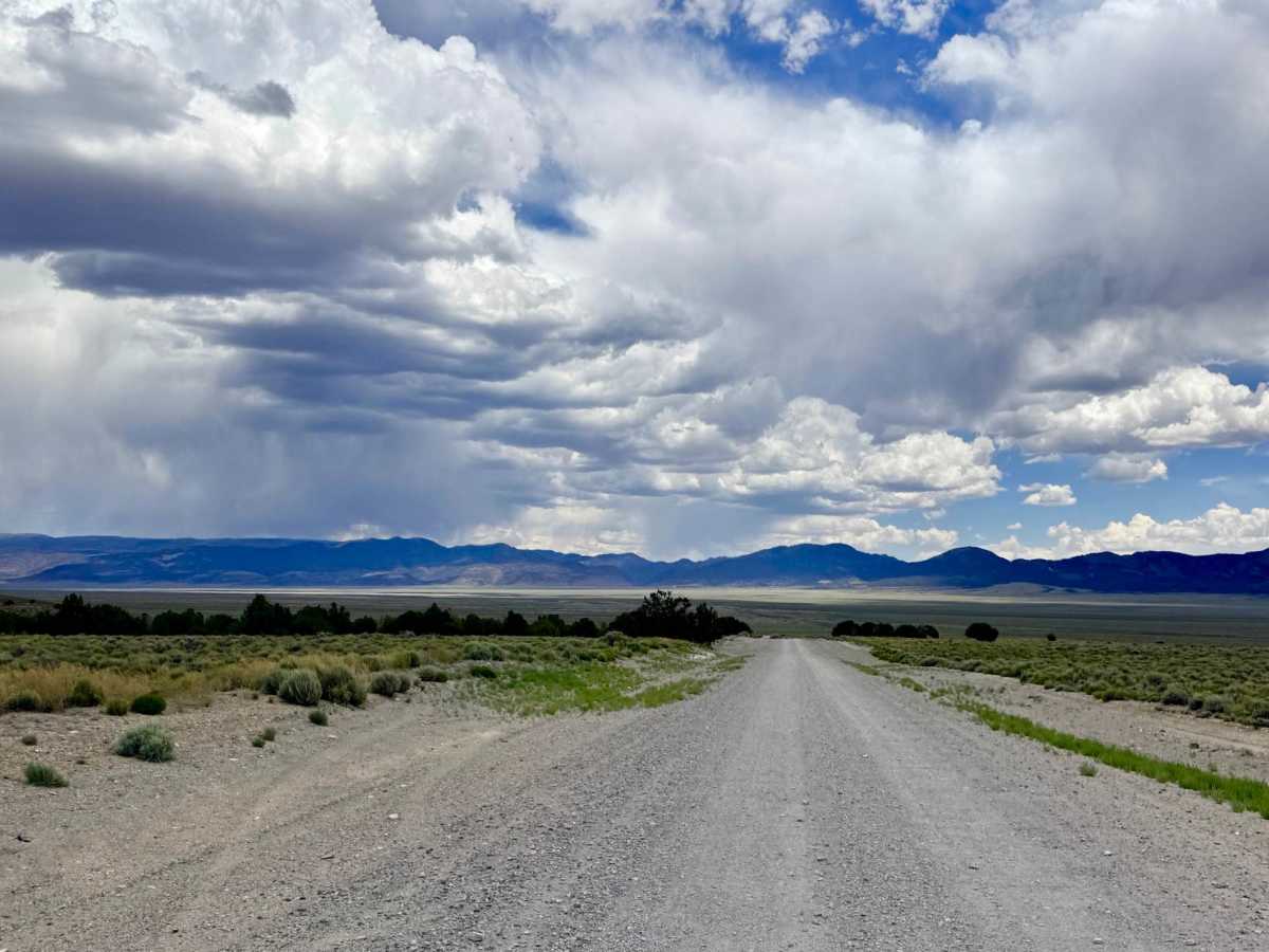
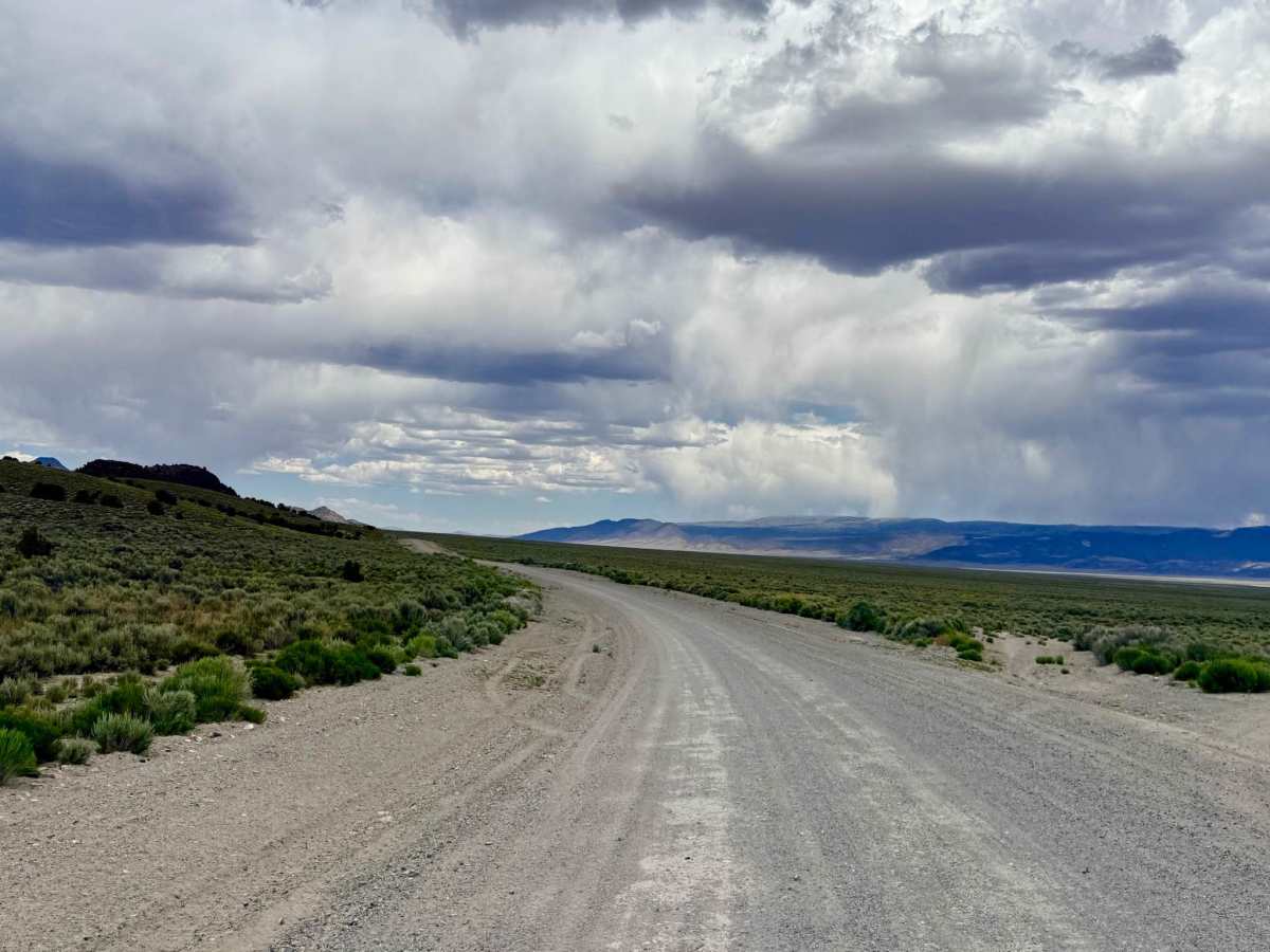
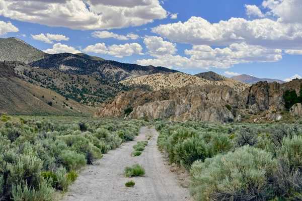
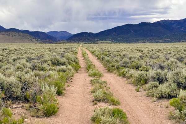
Belmont Road is the definitive "expressway" of the Great Basin, serving as the primary transit line for the entire Monitor Valley region. Picking up where the pavement ends north of the historic town of Belmont, this wide, professionally maintained gravel road carries explorers deep into one of Nevada's most remote and beautiful wilderness corridors. This road is the critical "Main Street" from which nearly all the area's technical loops, secluded canyons, and high-altitude "Sky Island" trails branch off. The driving experience is defined by the landscape's profound scale. As you cruise along this elevated roadbed, you are treated to a 360-degree panorama of the rippling Monitor and Toquima ranges. This is a premier corridor for wildlife enthusiasts; the open basin is a massive sanctuary for Pronghorn Antelope, wild mustangs, and Mule Deer. Keep a sharp eye on the roadside for the smaller residents of the sagebrush, including jackrabbits and cottontails, while Red-tailed Hawks and Turkey Vultures circle the thermals above. In the late spring and early summer, the valley floor is a riot of color as wildflowers bloom in massive waves across the basin. Expect no cell service for most of this trek. Once you leave the immediate vicinity of Belmont, you are in a total signal dead zone. Download offline maps before leaving Tonopah or Highway 6.
Difficulty
Rated a 1 for its smooth, wide surface, but drivers must remain on high alert. This is the main logistical artery for regional ranching and mining operations. You are likely to encounter large semi-trucks, wide-load cattle haulers, and heavy machinery moving at high speeds. Stay to the right and be prepared for large dust plumes.
History
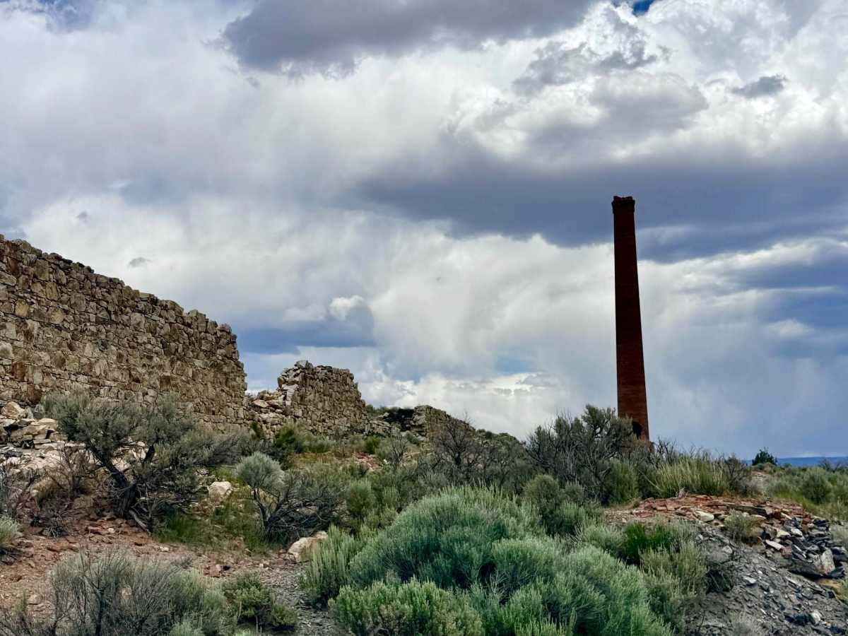
Belmont Road traces the original 19th-century freight and stagecoach line that built the state of Nevada. In the 1870s, Belmont was the majestic county seat of Nye County and a booming silver metropolis. This road was the lifeline that connected the massive Combination and Monitor mills to the rest of the world. Massive 20-mule teams once dominated this corridor, hauling the silver bullion that fueled the nation's economy and the massive timbers needed to support the mountain mines. Driving this road is a trip through the very infrastructure of the Old West.

 Offroad