Trail Overview
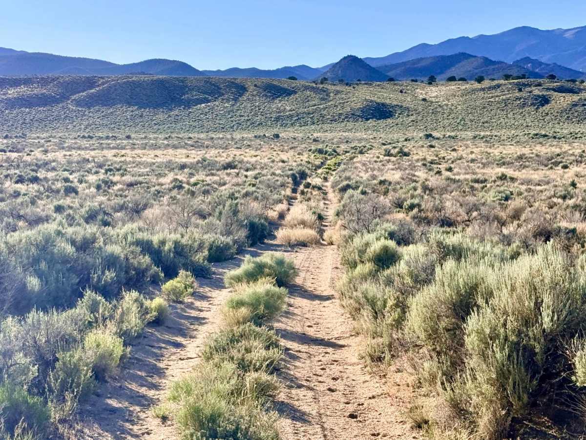
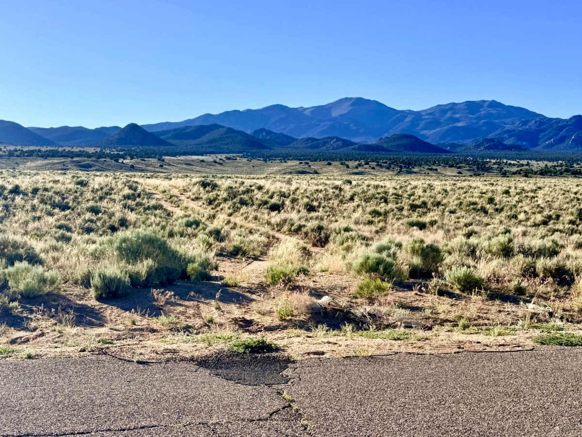
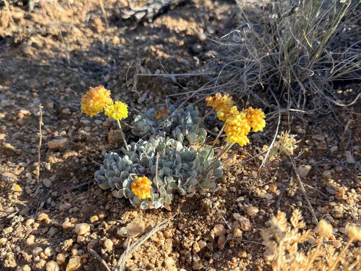
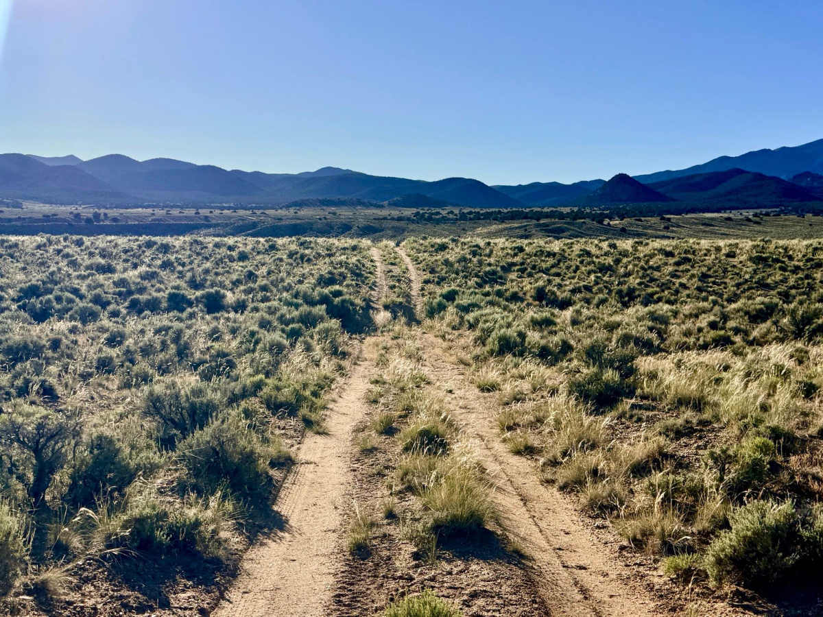
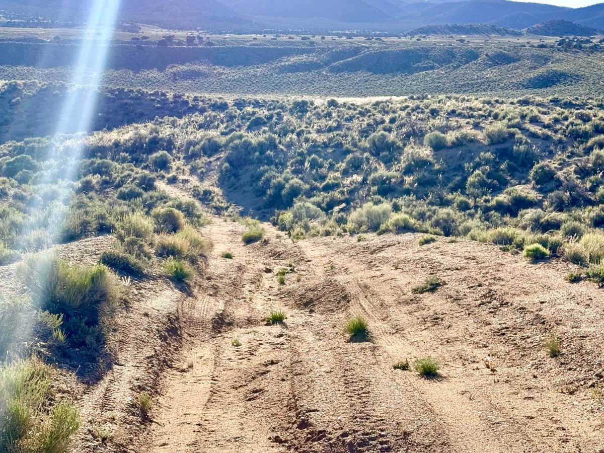
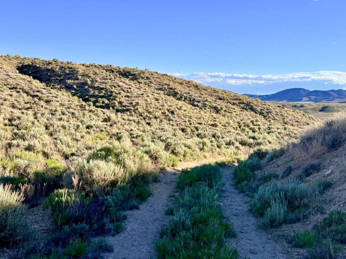
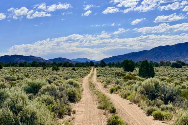
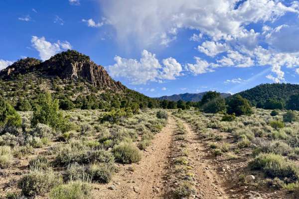
This is an engaging mountain approach that offers a spirited "gatekeeper" start followed by a visually stunning tour of the Toquima foothills. The adventure begins immediately upon leaving the pavement of Belmont Road, as the trail plunges across several natural drainages. These initial segments have been carved deep by seasonal runoff, providing a fun technical challenge right at the trailhead. Once you conquer these lower washouts, the character of the drive shifts dramatically; the terrain smooths out into a "flowy" two-track, eventually transitioning into soft, silty sand as you gain elevation. In the late spring and early summer, this trail is a premier destination for wildflower enthusiasts. The desert floor erupts in a vibrant tapestry of yellow, white, and blue blooms. As you push deeper into the foothills, the landscape becomes increasingly intimate. The open sagebrush is replaced by a dense "tunnel" of fragrant Utah Juniper and Pinyon Pine. This area is also a geological treat, featuring unique volcanic rock formations that tower over the now-narrowing path. The trail eventually culminates at the junction with Mount Priscilla Road, serving as a strategic hub for further exploration into the high peaks. Expect zero cell service for the duration of this trail. The foothills create a total signal dead zone. Download offline maps before leaving the Tonopah or Belmont area.
Difficulty
Rated a 3 primarily for the first few miles near Belmont Road. The drainage crossings here are significantly eroded. Once in the pinyon-juniper forest, the trail narrows significantly. Expect paint damage (Arizona pinstriping) as branches frequently crowd both sides of the vehicle.
History
The name "Drill Hole" is a direct link to the early 20th-century mining renaissance that swept through the Toquima Range. Unlike the "pick and shovel" era of the 1860s, the 1900s boom utilized diamond-bit core drills to explore the depth of the mineral veins. This trail likely traces the original access paths used by heavy industrial drilling crews who braved the isolation of the foothills to "prove up" the riches of Mount Priscilla.

 Offroad