Trail Overview
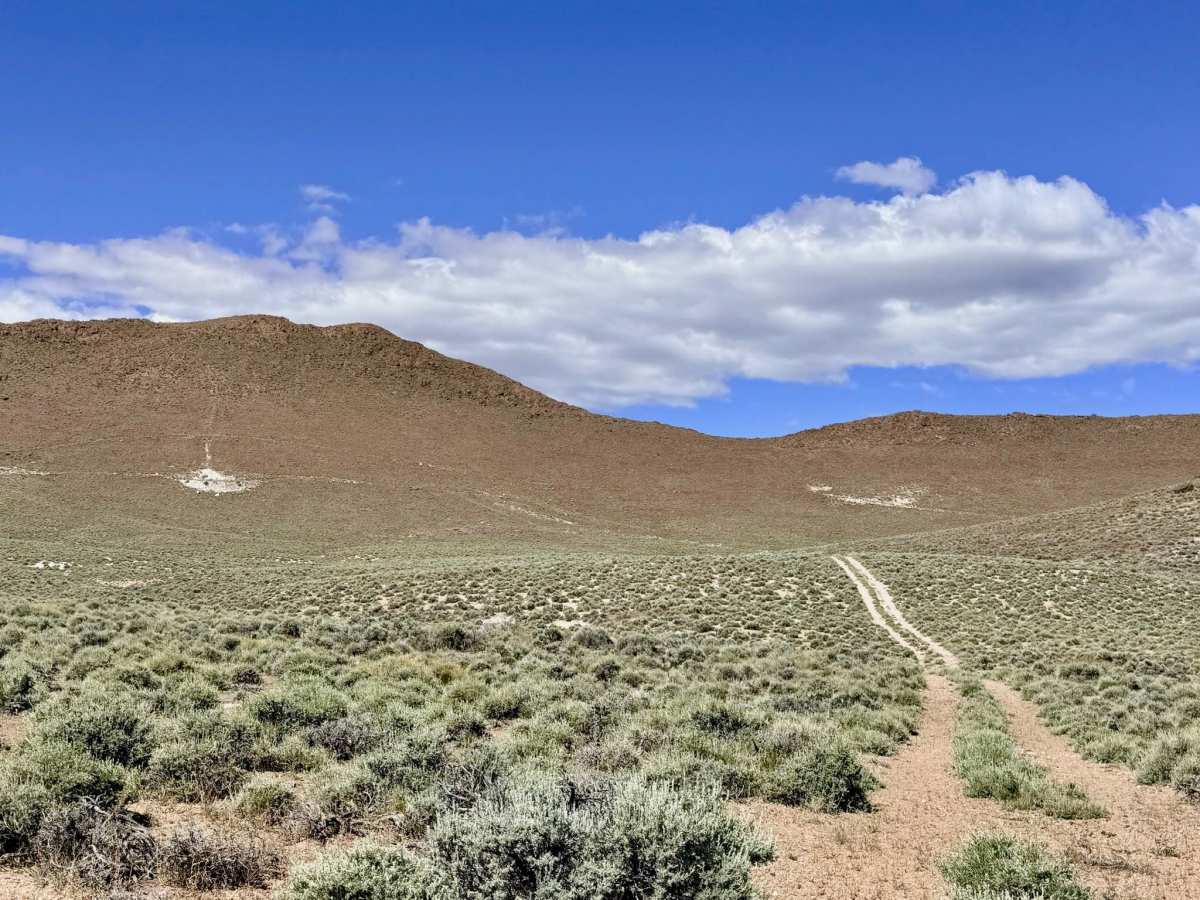
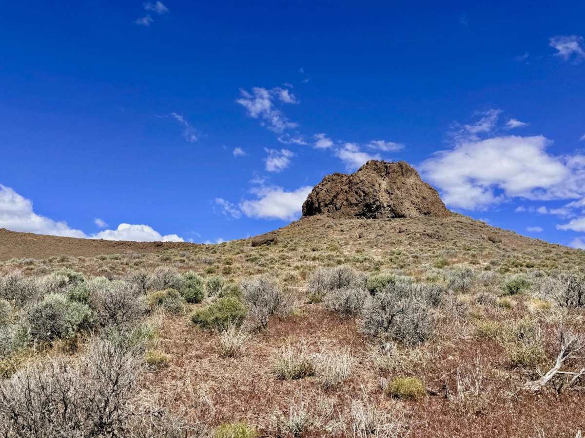
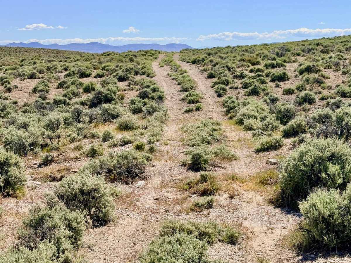
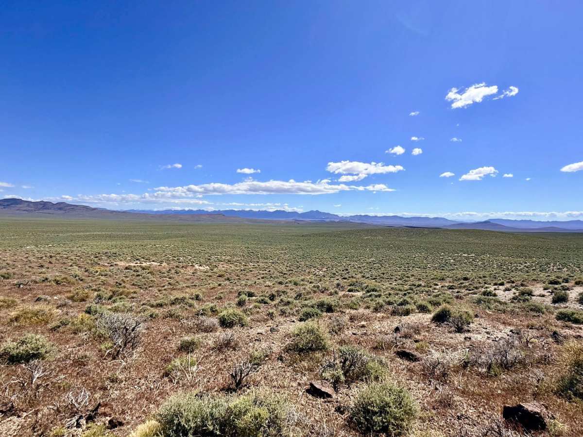
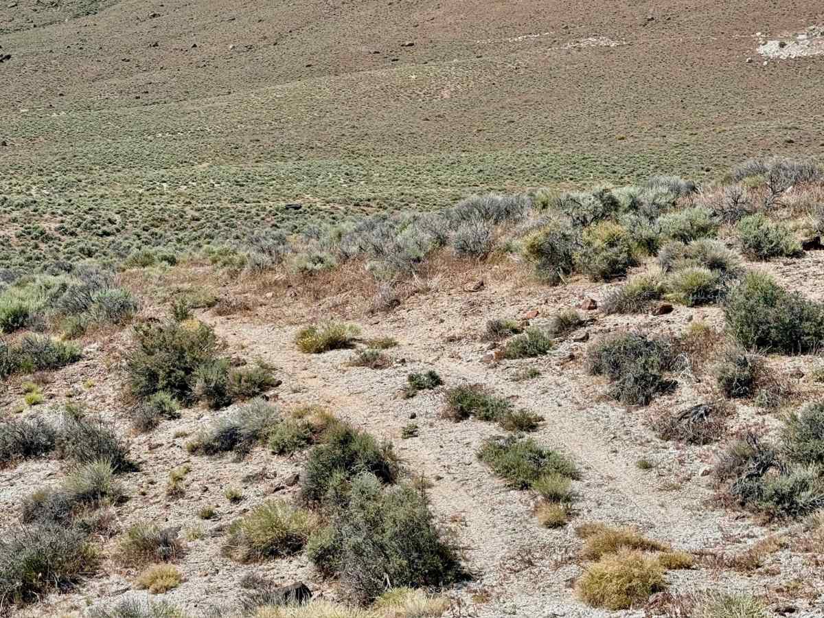
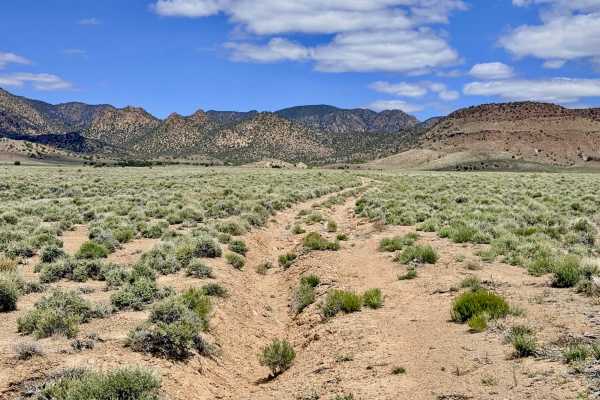
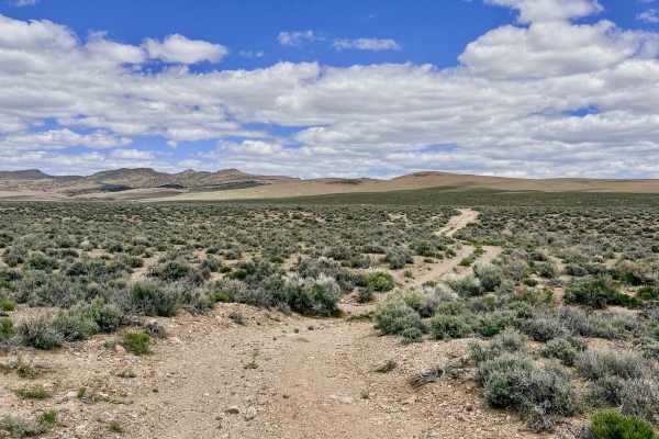
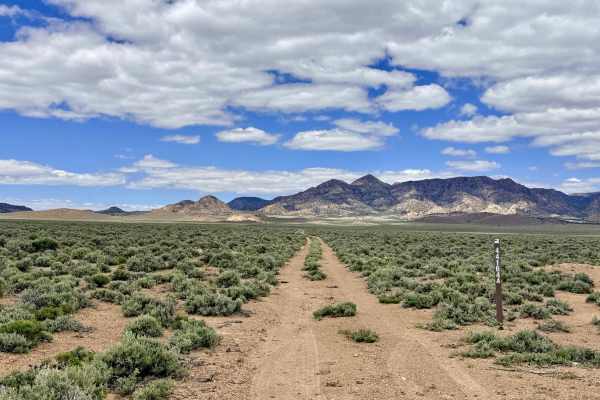
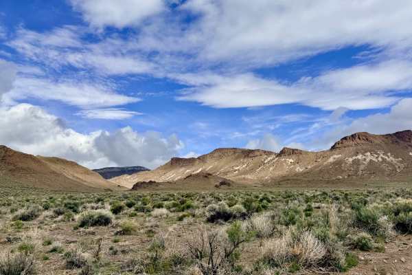
Upper Mud Springs North End is a rugged out-and-back trail that carries explorers into the high-desert foothills. This route is characterized by its sense of "vanishing history"; once a likely active mining and ranching access road, the track is now lightly traveled and is slowly being reclaimed. As you ascend, the typical low sagebrush gives way to more textured terrain, winding past impressive rock formations that serve as jagged sentinels over the valley floor. The drive offers a fascinating look at the region’s geological and industrial layers. Several short offshoot trails branch away from the main track, leading to weathered tailings piles and the silent remains of old mining claims tucked into the hillsides. The trail culminates in a high-vantage clearing that provides outstanding views of the expansive desert basins below. Be aware that the motorized route terminates abruptly in a section of thick, grassy overgrowth where the trail has completely reclaimed. While technical obstacles are limited to the lower elevations, the sense of isolation and the rugged beauty of the rock formations make this a rewarding trip for those seeking a quiet escape from the main arteries.
Expect zero cell service for the duration of this trail. The surrounding hills create a total signal shadow. Download offline maps before leaving the Tonopah or Highway 6 corridor.
Difficulty
Rated a 3 primarily due to several slightly deeper, rocky wash crossings. These sections require careful tire placement to avoid "pinching" a sidewall on the jagged volcanic stones or dragging a bumper on the steep transitions.