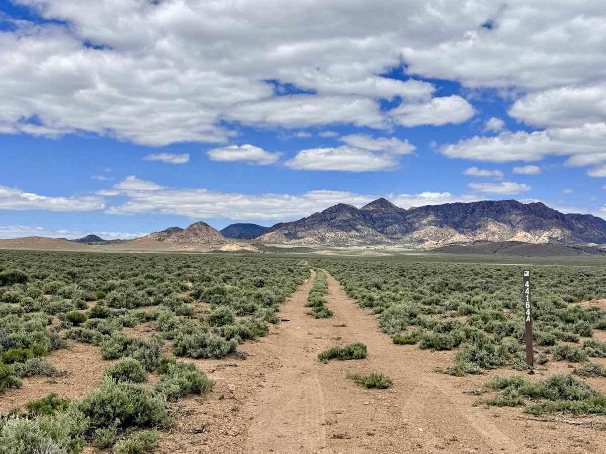
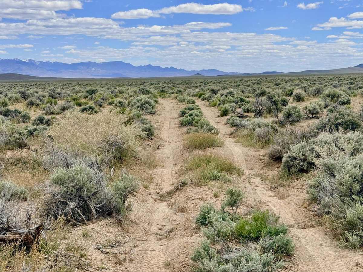
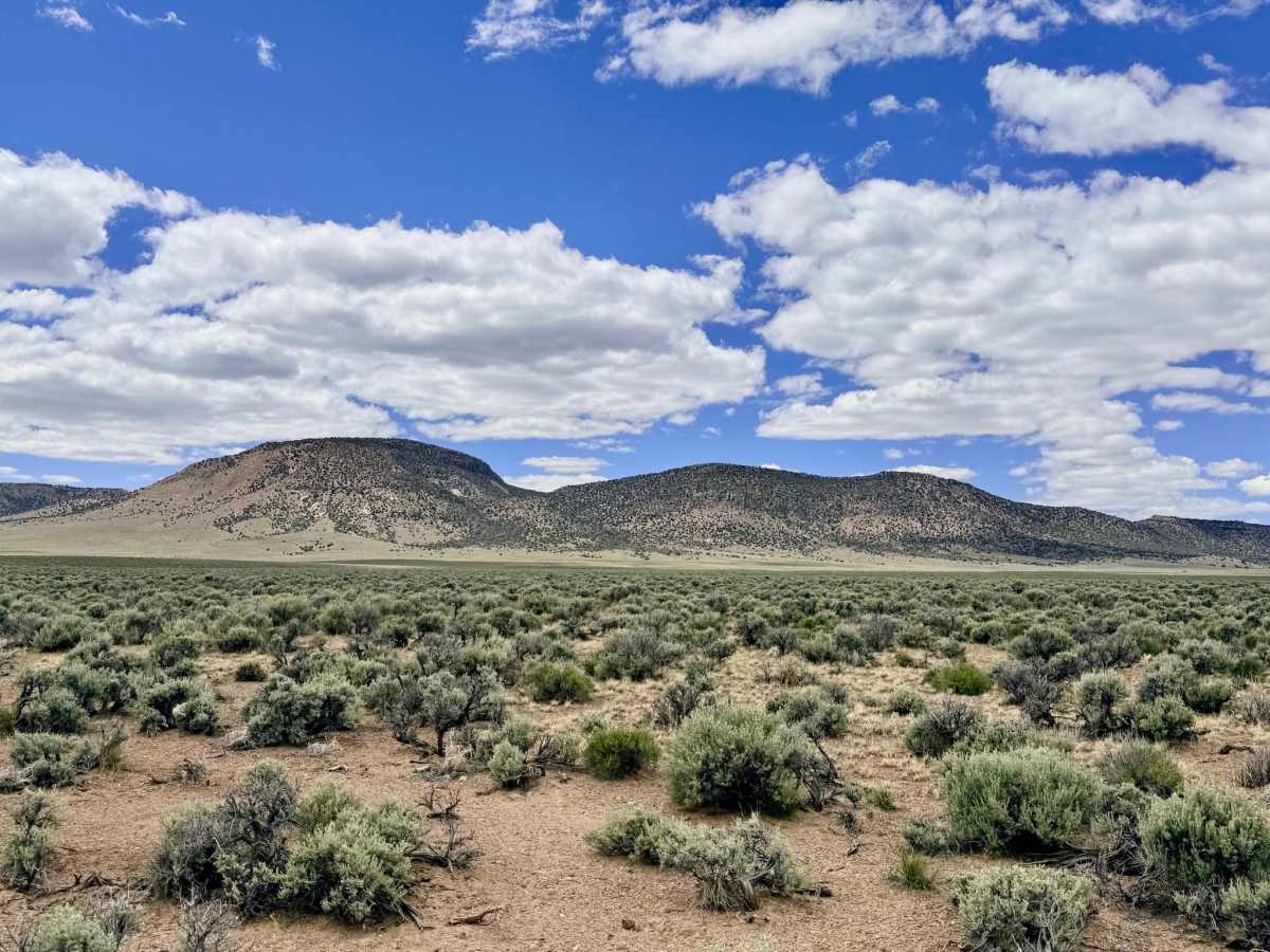
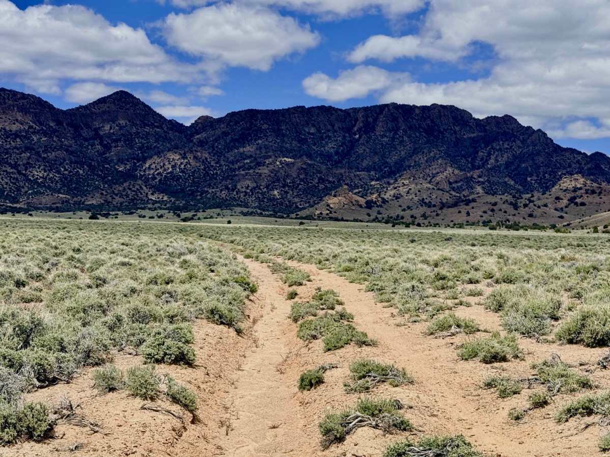
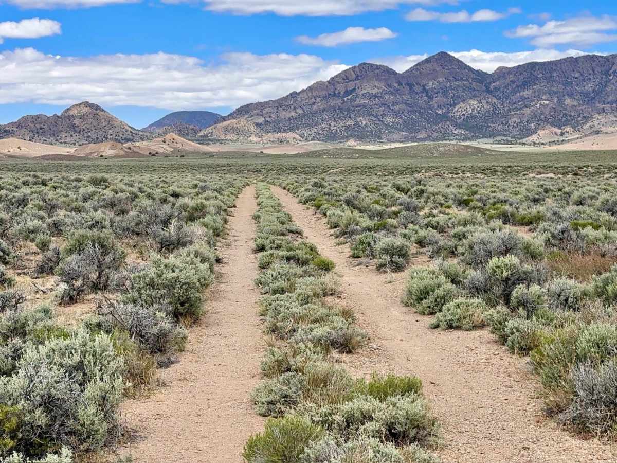
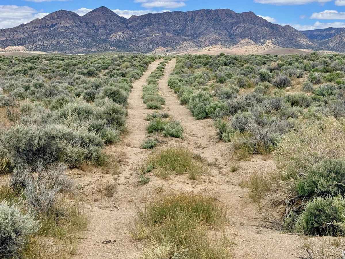
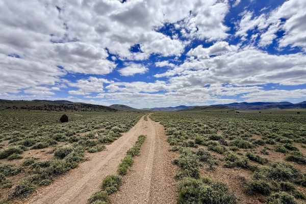
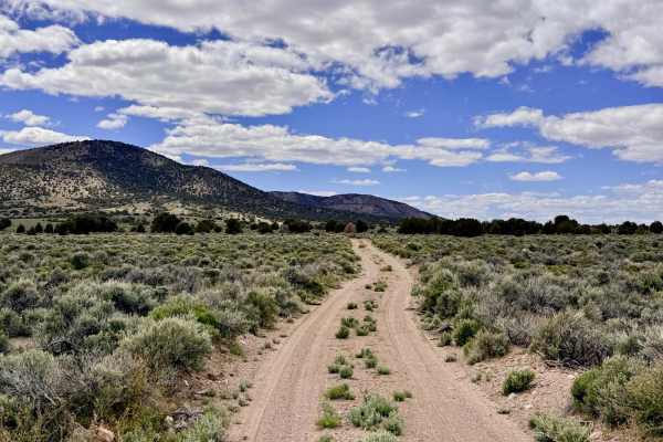
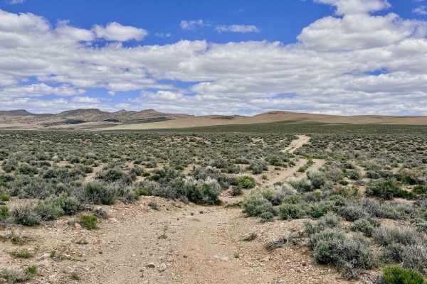
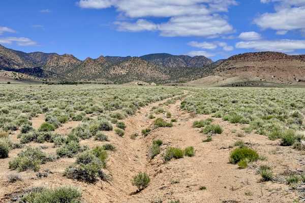
Trail Overview
Little Georges is an inviting, highly rewarding out-and-back trail that serves as the "milder" counterpart to nearby Georges Canyon. If you are looking for spectacular mountain scenery and high-desert solitude without the high-consequence rock crawling, this is the perfect route. The trail tracks along the western edge of 4 Mile Basin, providing an elevated vantage point to watch Pronghorn Antelope. The trail is a pleasant mix of smooth cruising and technical foothill navigation. As the trail gains elevation, it transitions from a well-defined two-track into a rockier, bumpier path that keeps the driver engaged. Along the route, you’ll pass striking volcanic rock formations that offer unique silhouettes against the blue Nevada sky. The motorized track culminates in a "hub" of multiple unnamed two-tracks that branch off into the rugged folds of the range, inviting you to explore the lesser-known corners of the Monitor Range on your way to finding a perfectly secluded camping spot.
Expect zero cell service on this trail. The western slopes of the basin are effectively cut off from all signals. Download offline maps before leaving the Tonopah area.