Trail Overview
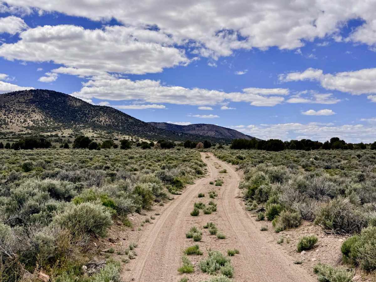
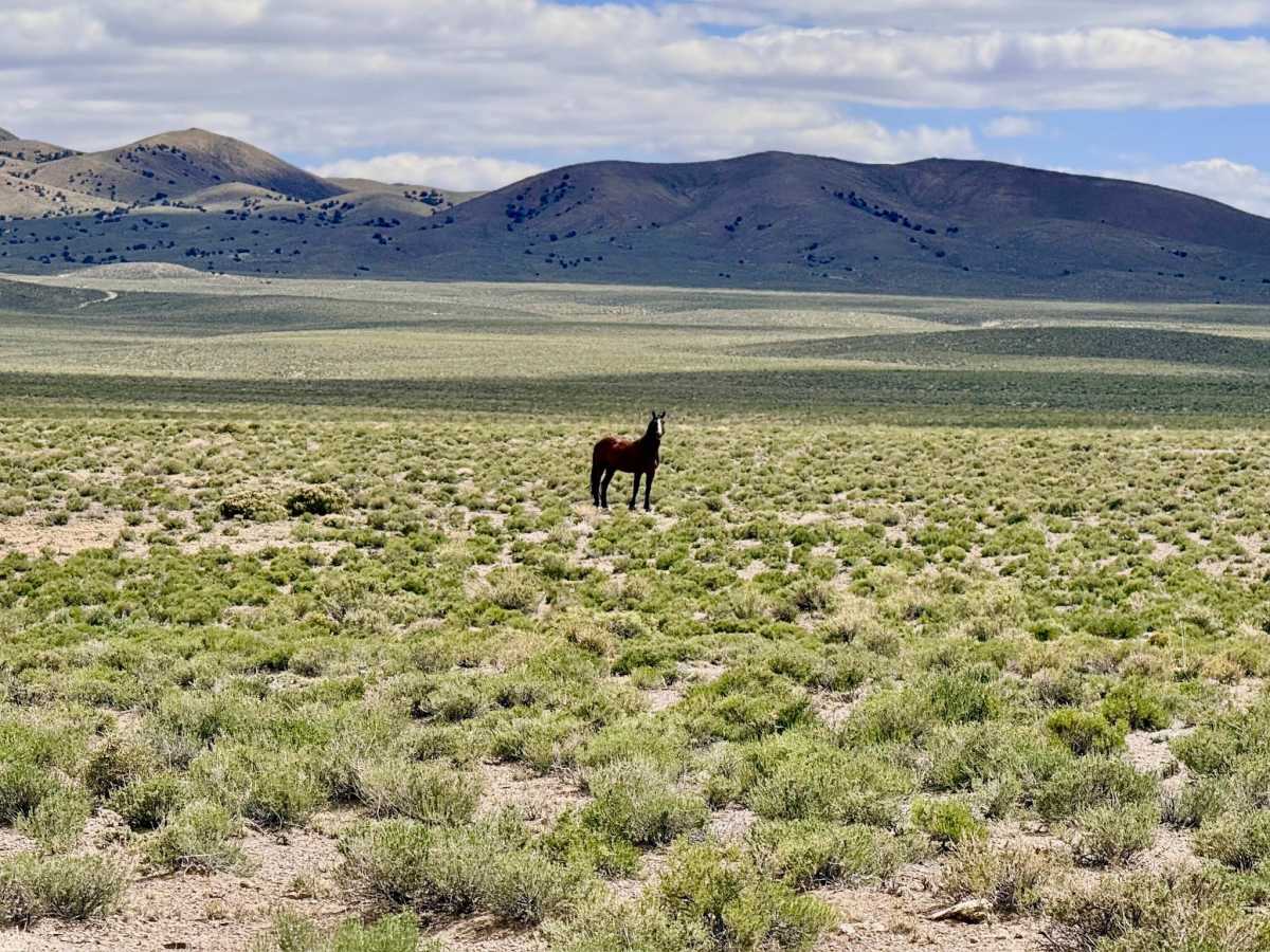
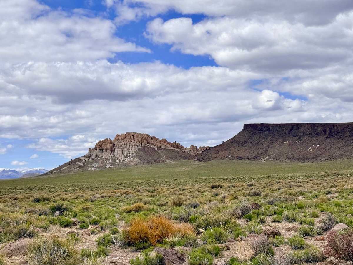
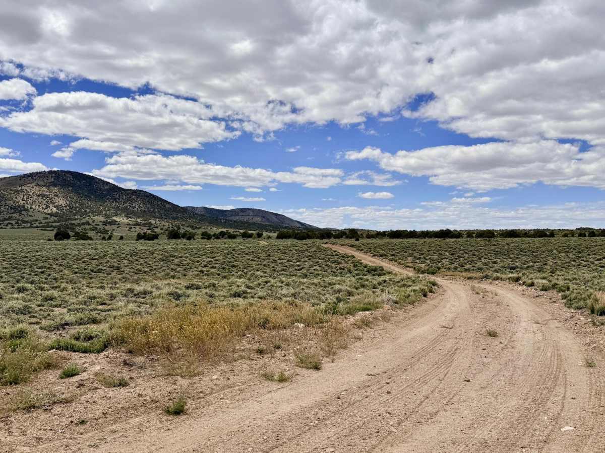
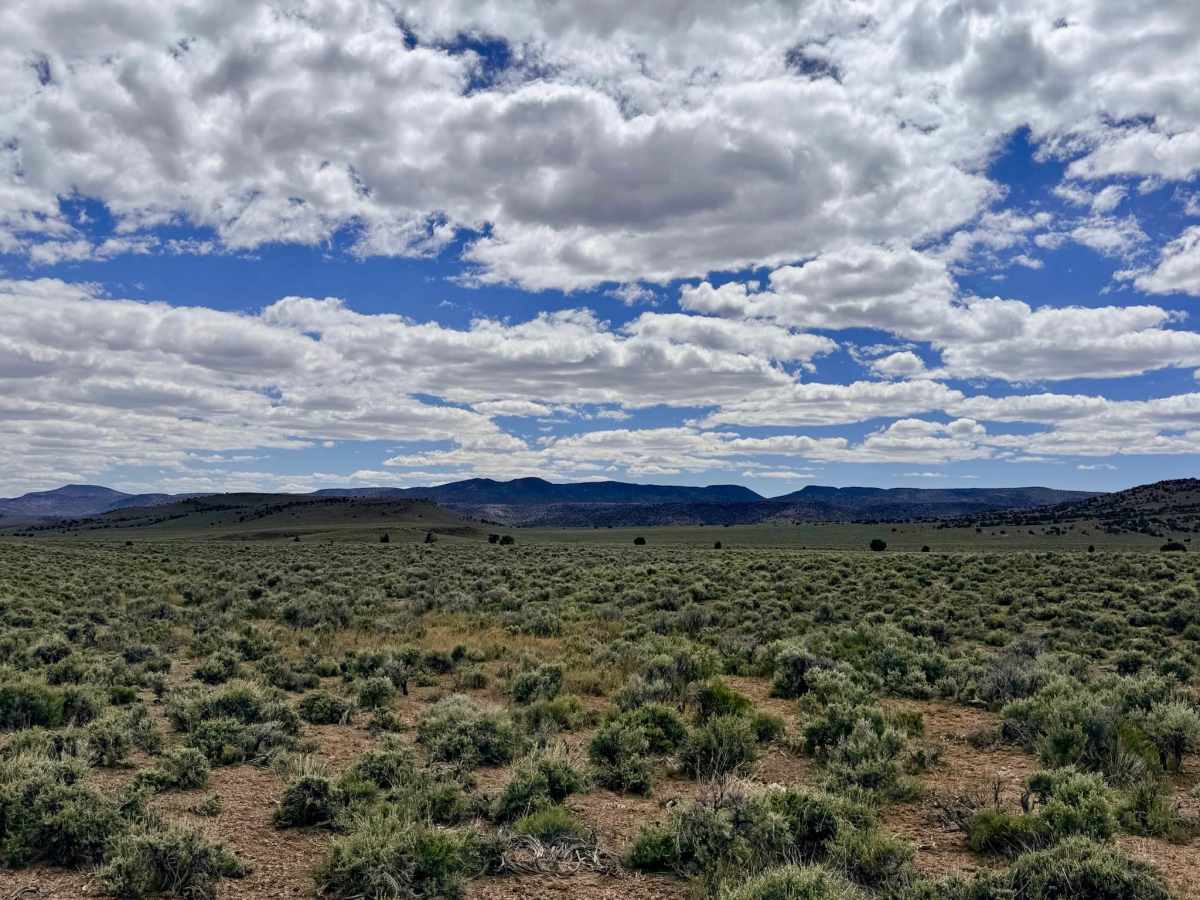
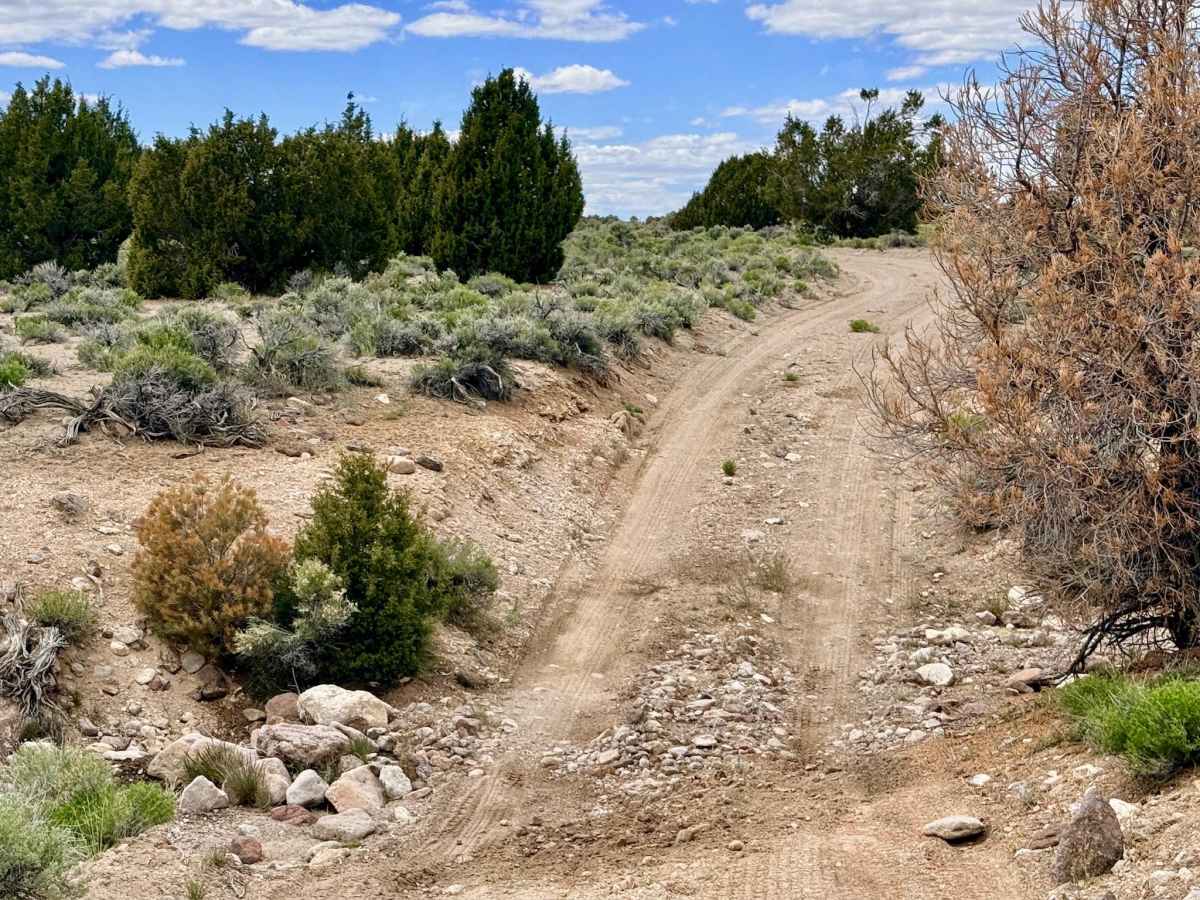
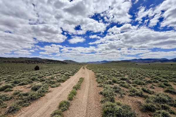
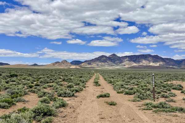
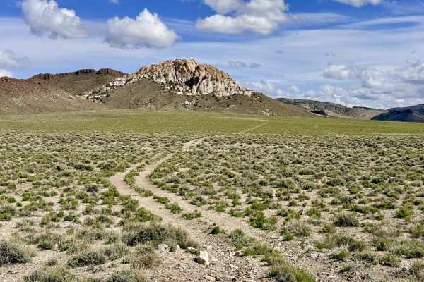
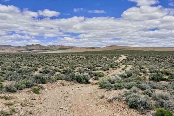
Castle Rock is a magnificent backcountry route that serves as a primary link between the expansive Saulsbury Basin and the high mountain valleys of the Monitor Range. True to its name, the trail carries you directly past the striking Castle Rock formation, a towering volcanic monument that serves as a natural sentinel over the canyon. As you navigate the route, you’ll be surrounded by diverse geological features, from jagged cliff faces to intricate rock "nooks and crannies" that invite hours of exploration along the many offshoot trails. The driving experience is quintessentially Nevada, beginning in the wide-open western valley floor where the landscape is dominated by sagebrush and a sense of absolute vastness. As the trail ascends into the canyon, the environment becomes more intimate and physically engaging. While much of the track is decently graded, it is a dynamic route that requires constant attention. The area is a stronghold for Nevada’s most iconic wildlife: large bands of wild mustangs, grazing cattle, and the sudden, high-speed flight of Pronghorn Antelope. A few primitive dispersed campsites are scattered along the route, offering varying degrees of shade and wind protection among the rock formations.
Expect zero cell service for the duration of this trail. The high ridges of the Monitor Range create a total signal dead zone. Download offline maps before leaving the Tonopah area.
Difficulty
Rated a 3 due to several deep and technical wash crossings. These obstacles often feature steep, off-camber entries. "Sneaky" Washouts: Drivers should be alert for sudden erosion gaps that appear in the middle of otherwise smooth, fast sections.