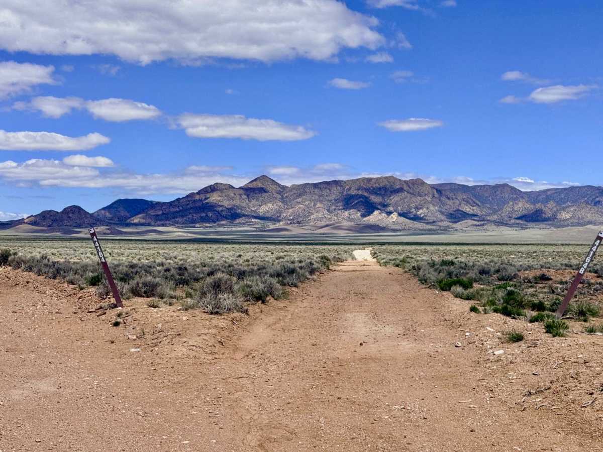
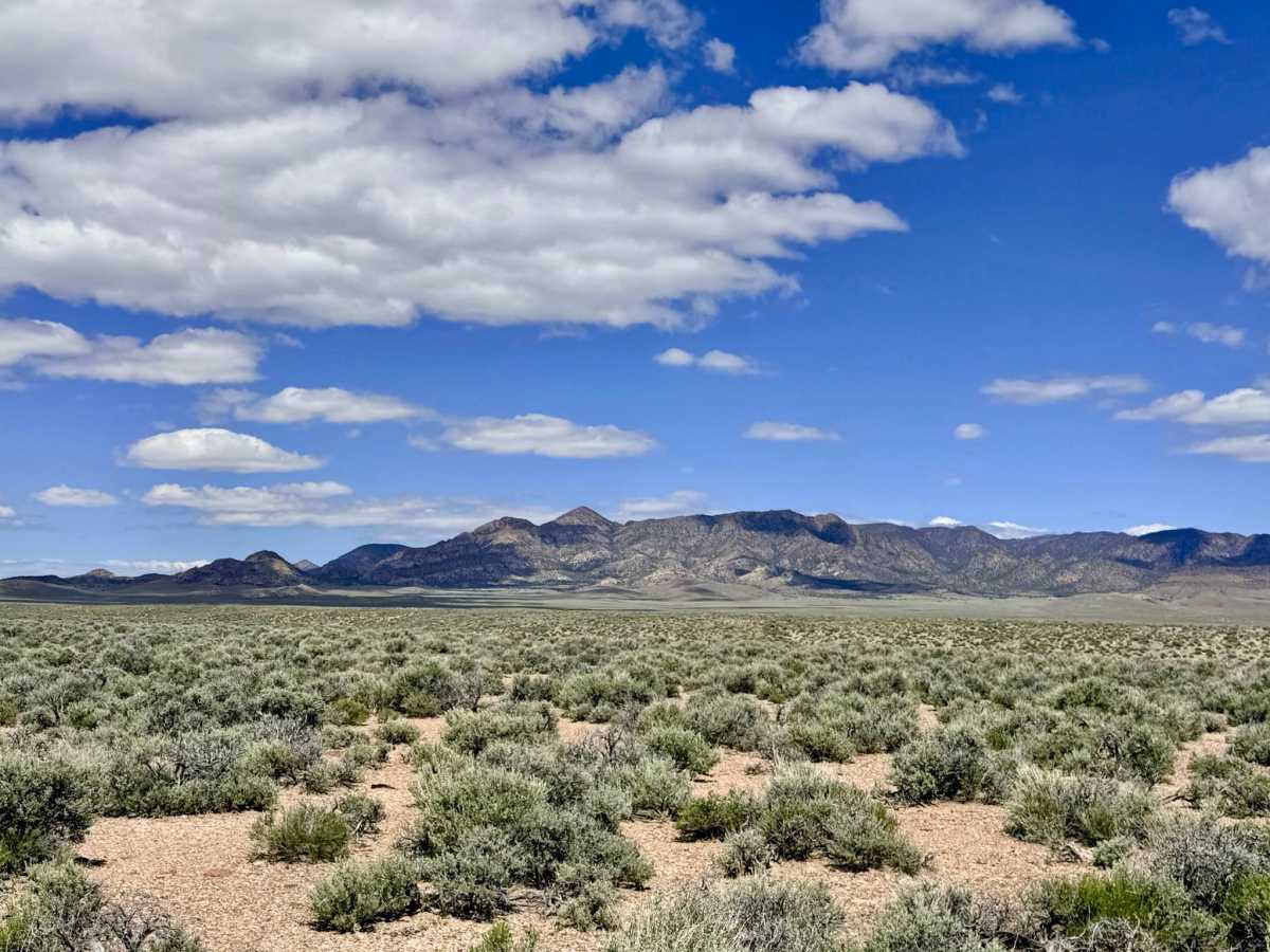
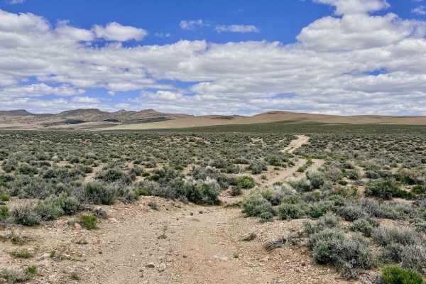
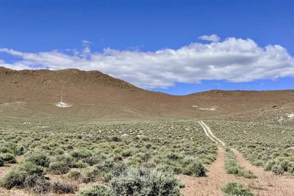
Trail Overview
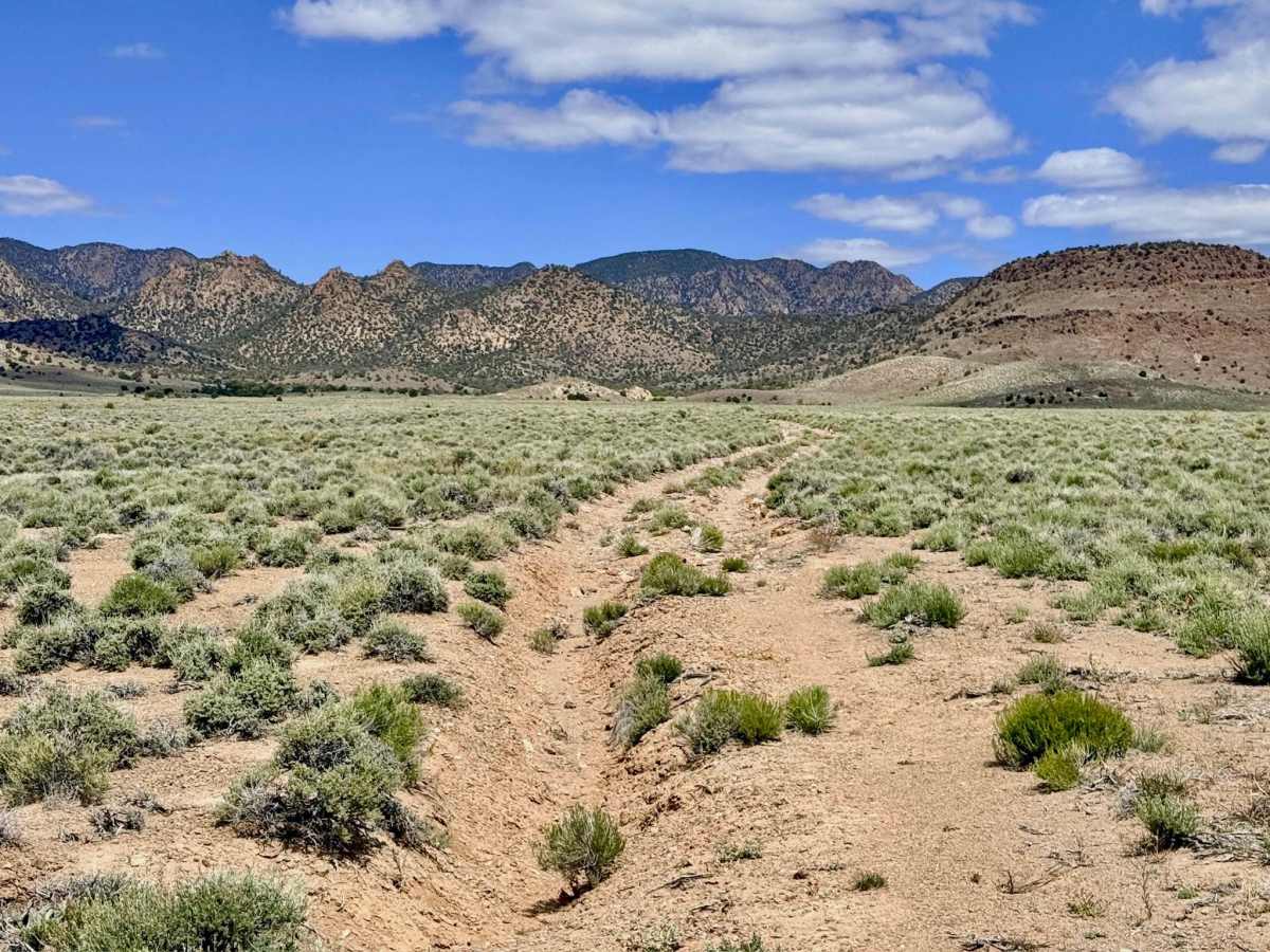
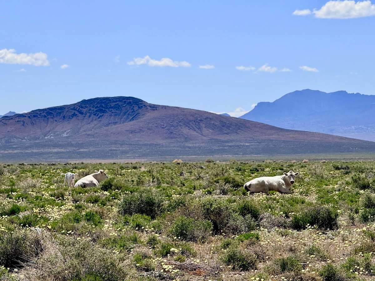
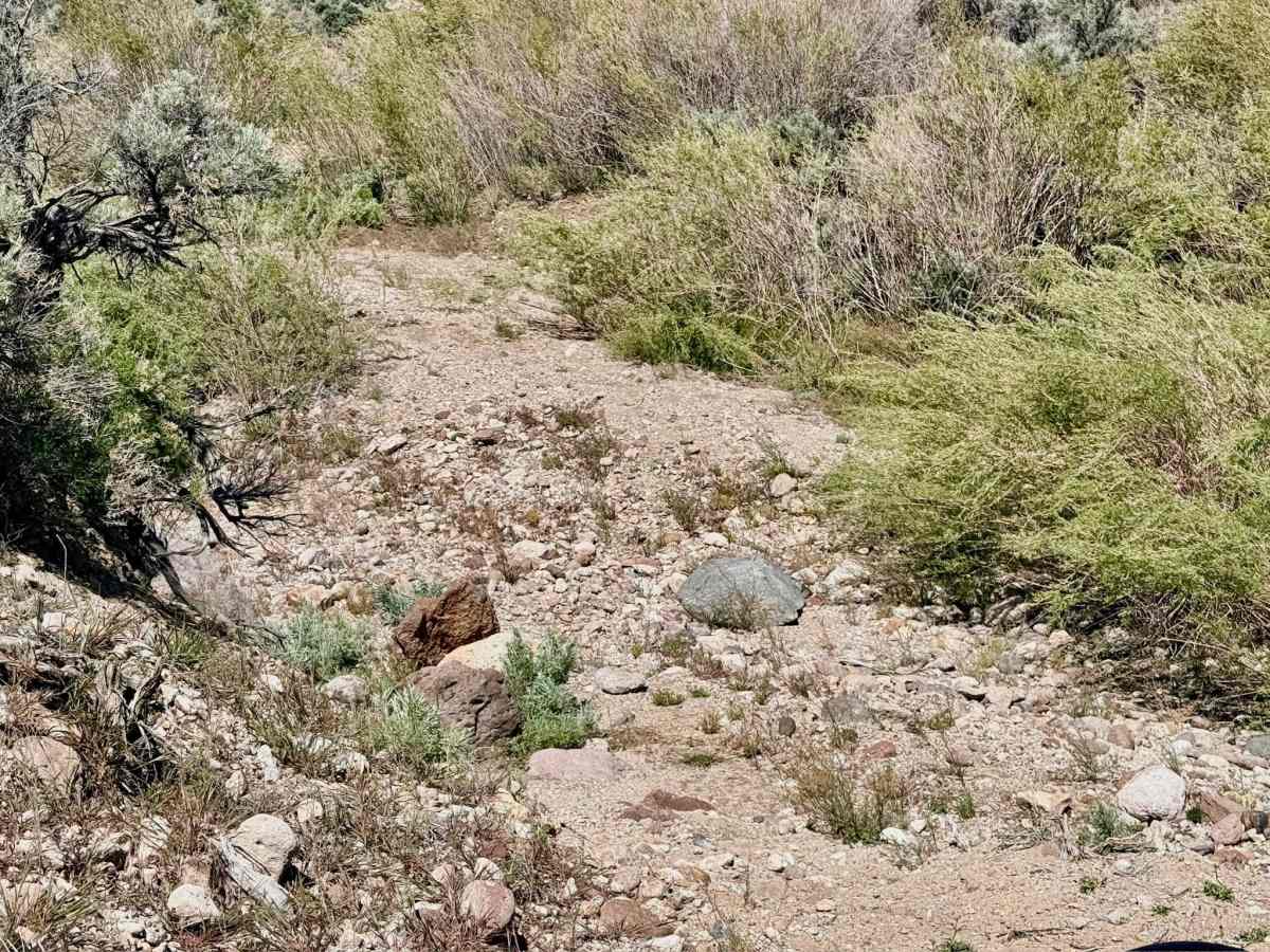
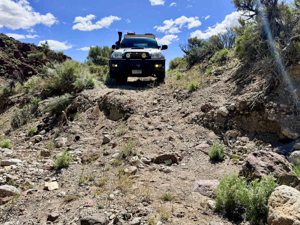
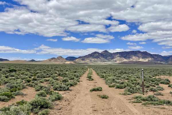
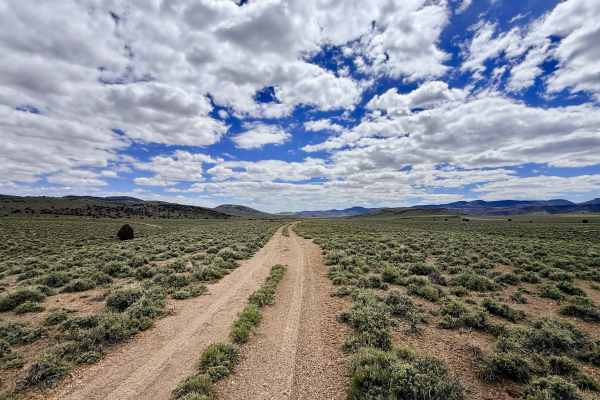
Fourmile Basin Road is a rewarding out-and-back journey that serves as the central artery of the expansive Fourmile Basin. This trail is one of three primary routes that penetrate the area, providing a direct line from the valley floor deep into the high-altitude foothills, which are situated directly below the rugged silhouette of Rocky Peak. The drive offers a classic Great Basin environmental shift: you begin in the wide-open "sagebrush sea" of the lower flats, then ascend into a textured landscape of rolling hills and mountains. The driving experience is diverse and physically engaging. While much of the trail consists of smooth, flat stretches, be prepared for several technical rock obstacles located in the water crossings and drainage areas. As the elevation increases, the trail enters the aromatic Pinyon-Juniper belt and narrows significantly; in these upper reaches, the vegetation is unmaintained, and paint damage is virtually guaranteed. For those looking to escape the wind of the plains, the route features numerous unmarked two-track offshoots to explore, eventually terminating in a beautiful, secluded clearing interspersed with pines, a premier spot for a high-altitude mountain camp.
Expect zero cell service once you gain elevation into the foothills. Rocky Peak effectively blocks all signals from the highway corridor. Download offline maps before leaving the Tonopah area.