Trail Overview
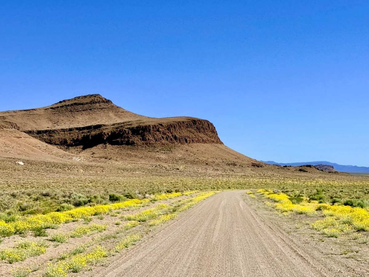
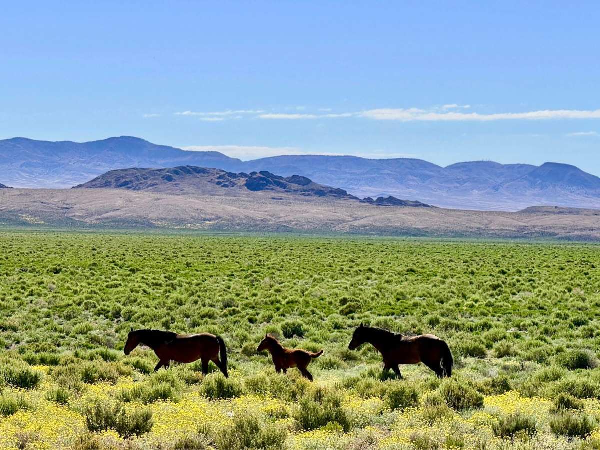
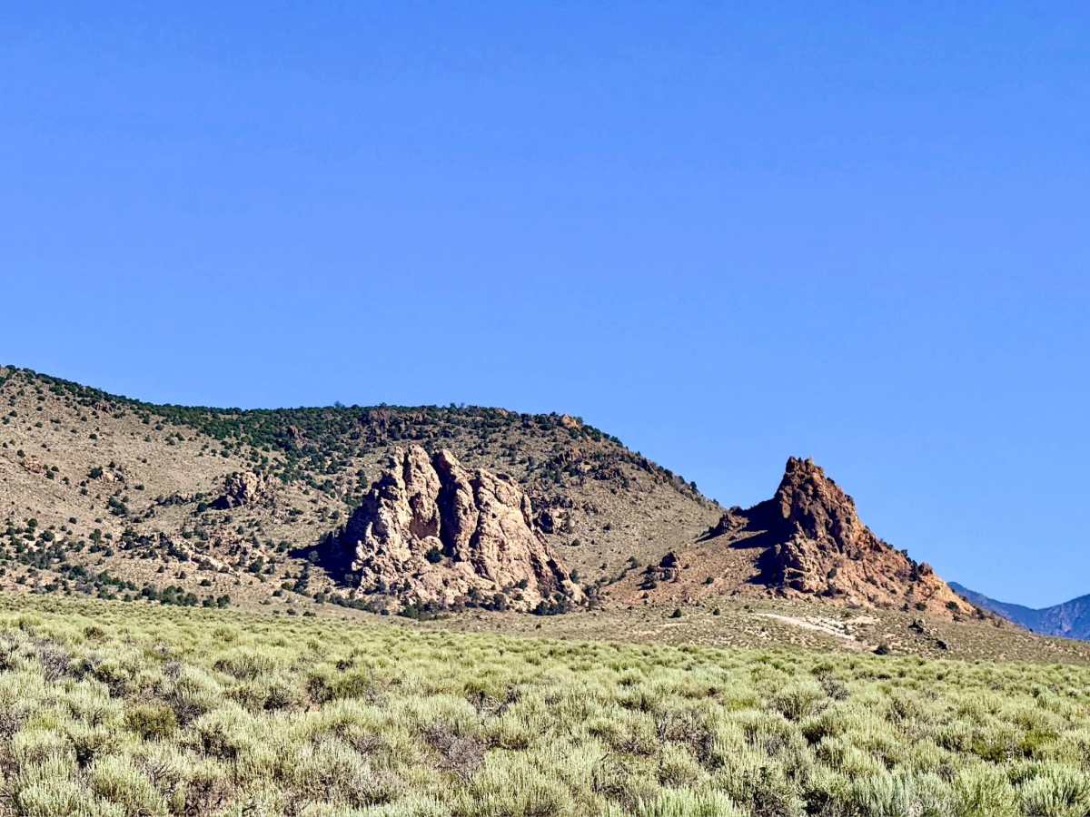
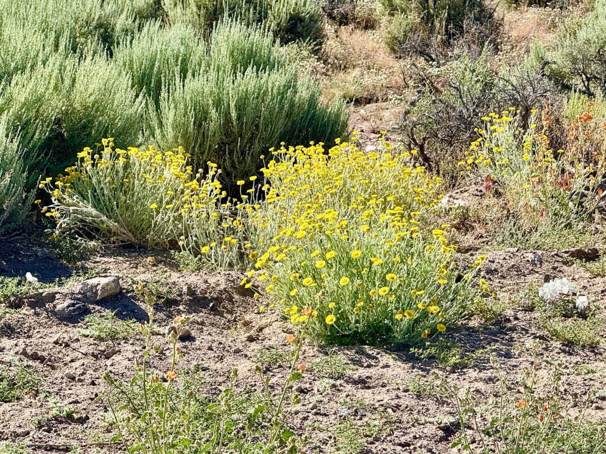
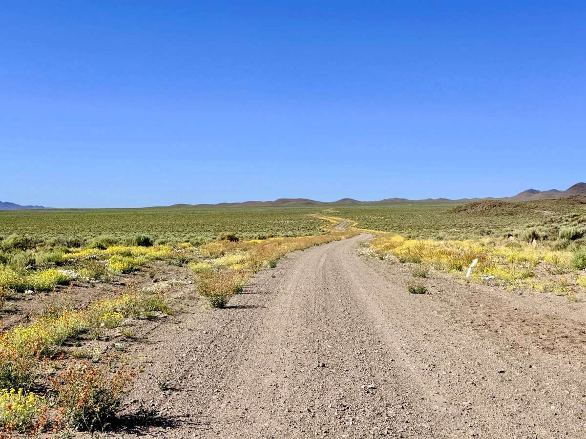
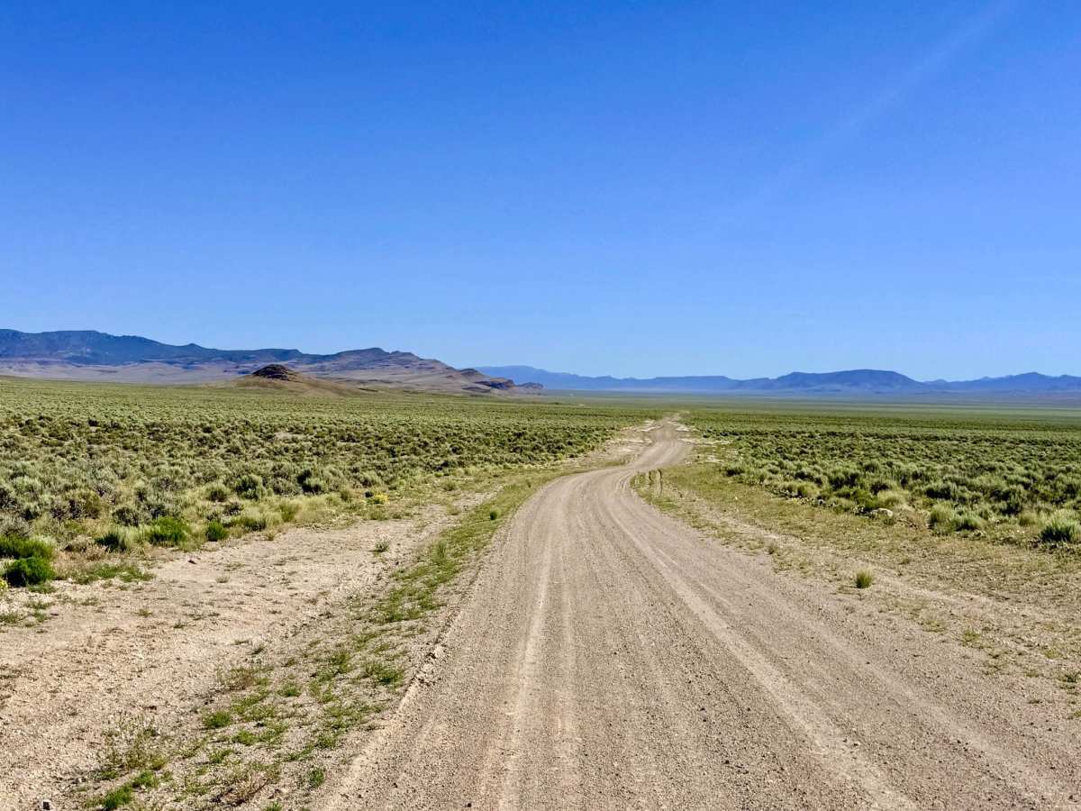
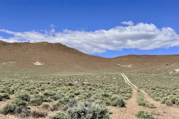
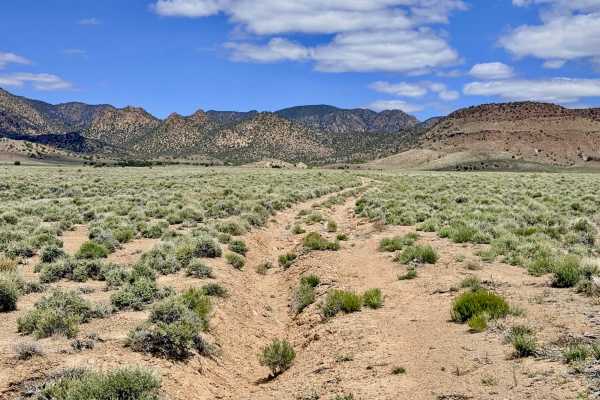
This trail serves as a premier scenic corridor, offering a front-row seat to the dramatic transition where the vast valley floor meets the towering Monitor Range. The journey is a visual masterpiece; explorers are flanked by intricate volcanic rock features and jagged cliff sides that dominate the eastern horizon. The true magic of this route occurs during the late spring and early summer. The high-desert scrub undergoes a breathtaking transformation, exploding with wildflowers that carpet the landscape as far as the eye can see. As you cruise north, the trail provides access to numerous technical side-spurs and eventually connects with the slightly narrower North Willow Creek Road, which carries you deep into the mountains toward the high-wilderness trailheads. Keep an eye out for the rare blasts of green along the route; these are natural mountain springs bubbling to the surface, easily identifiable by the lush riparian vegetation and the local cattle that frequent them for water. The presence of long, deep ruts along the track is a clear indicator that this road becomes completely impassable when wet. The silty soil turns into a bottomless "gumbo" that can trap any vehicle. Avoid this route during the spring thaw or summer monsoon season. Expect zero cell service for the duration of this trail. You are deep in the Monitor Range signal shadow. Download offline maps before leaving the Tonopah area or Highway 6 area.
Difficulty
Rated a 3 specifically for the depth and frequency of seasonal washouts. While the road is generally a well-graded single lane, it is punctuated by several washouts at least 12 inches deep. These erosion gaps often appear suddenly or on the back sides of corners; failing to slow down can cause severe suspension damage.
History
In the late 1800s, these valley-edge roads were the lifeblood of the district, allowing buckaroos to move livestock between the fertile mountain springs and the winter grazing lands of the basin. The springs you see today were once the most guarded assets in the state, providing the water needed to sustain the herds that fed the mining camps of Belmont and Tonopah.

 Offroad