Trail Overview
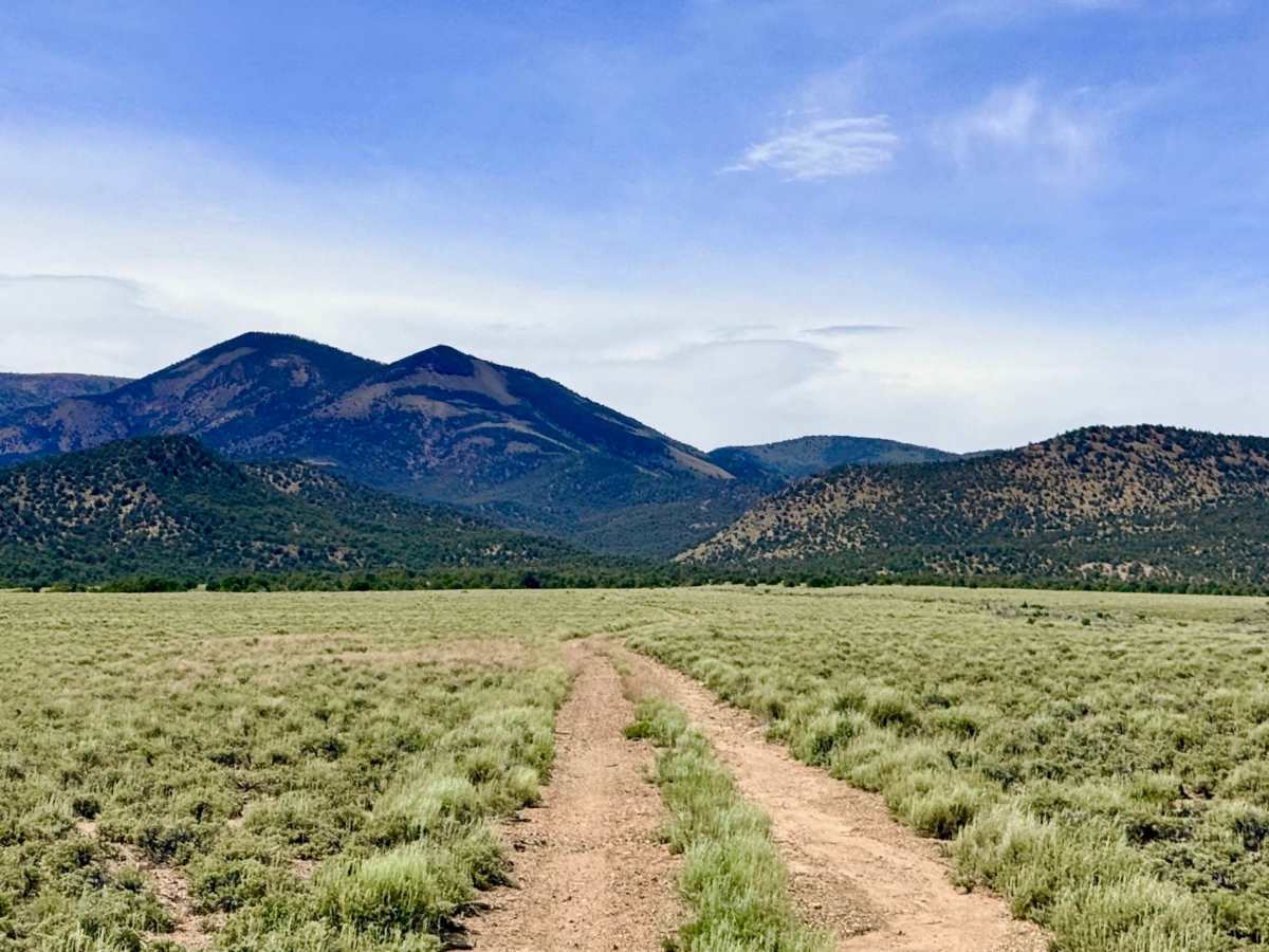
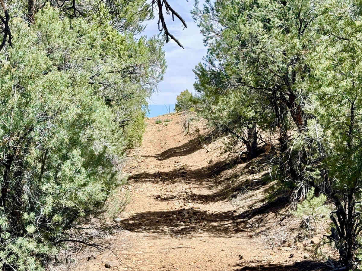
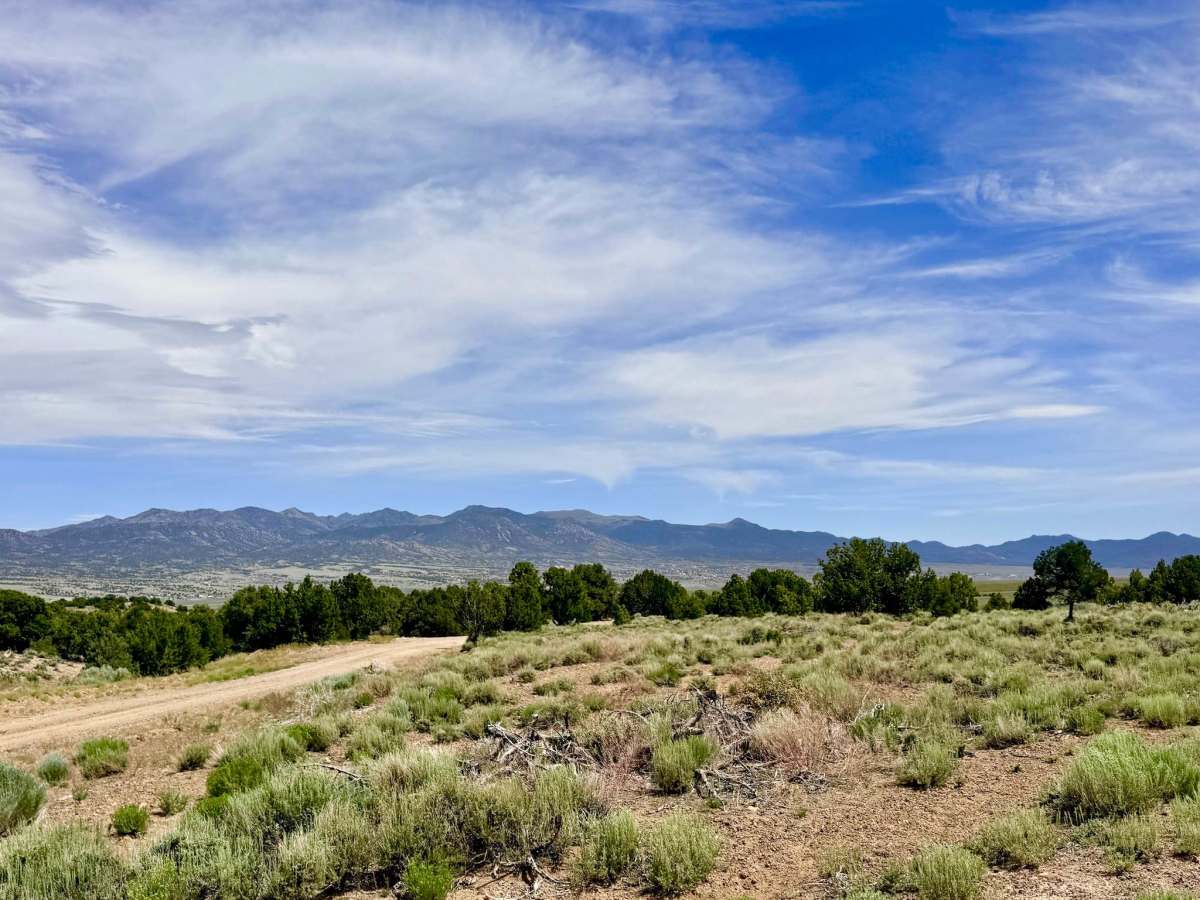
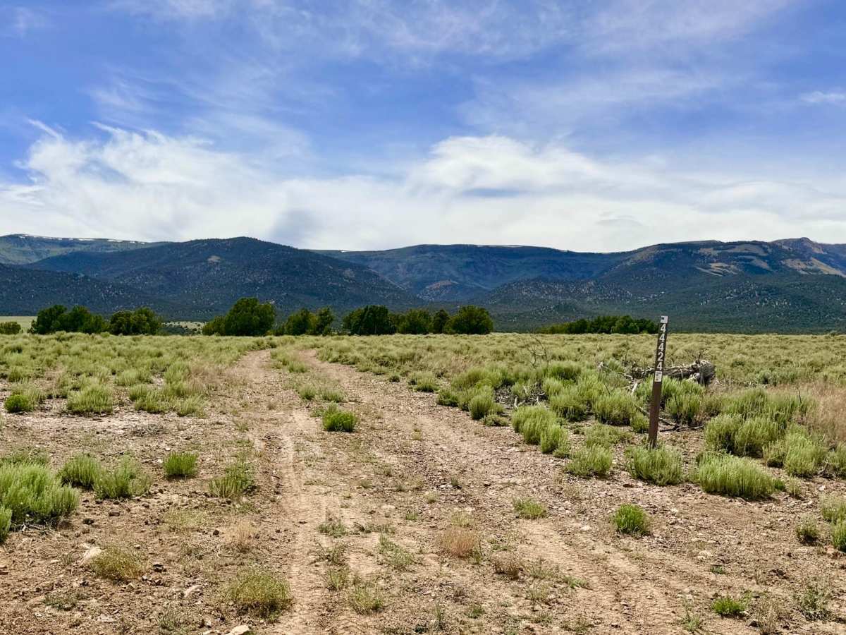
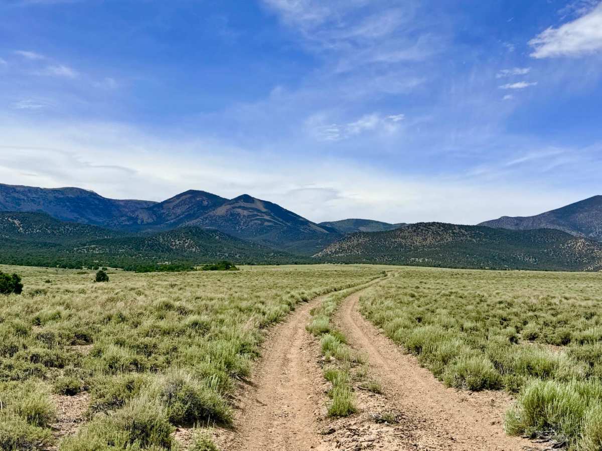
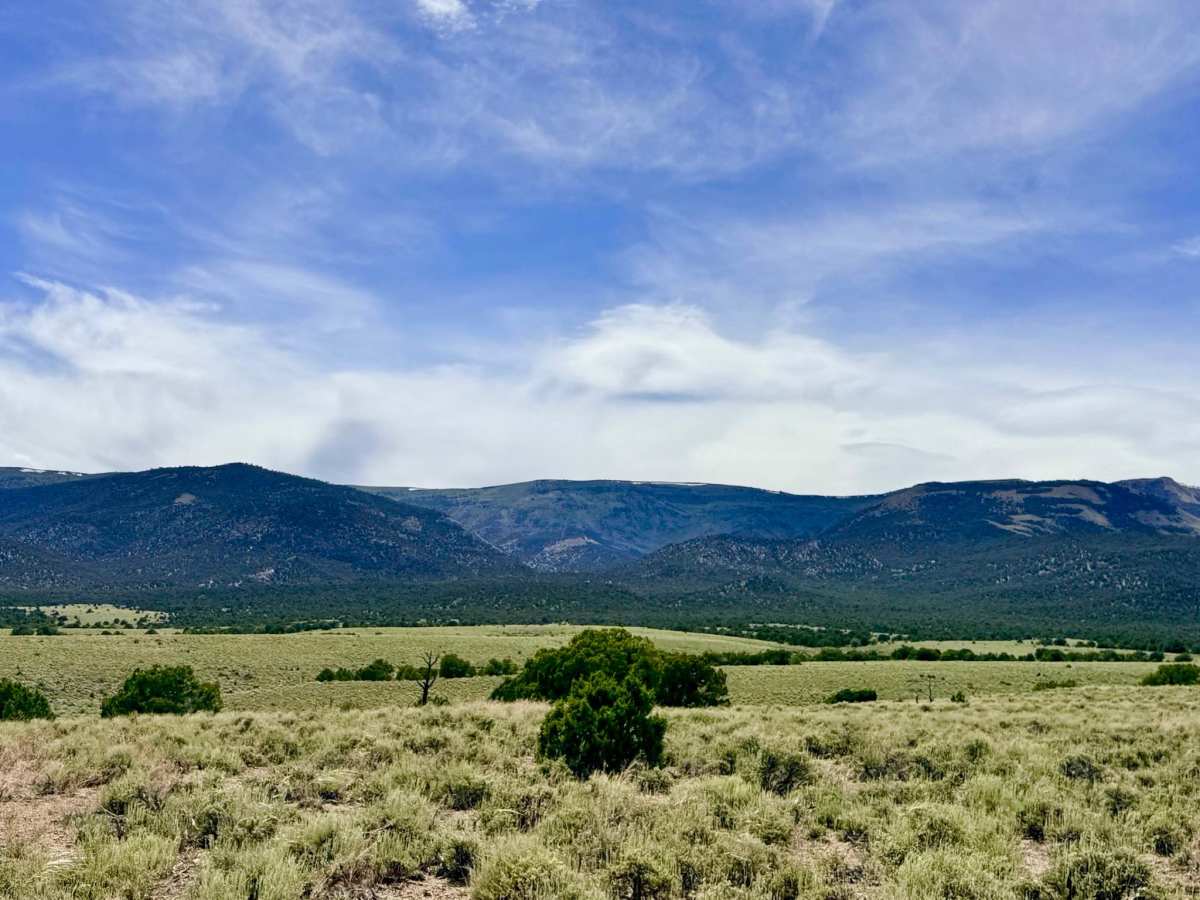
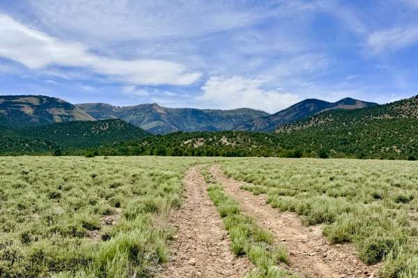
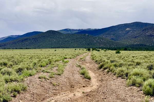
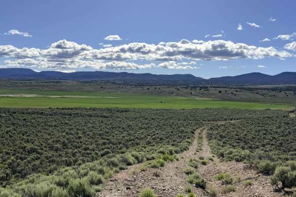
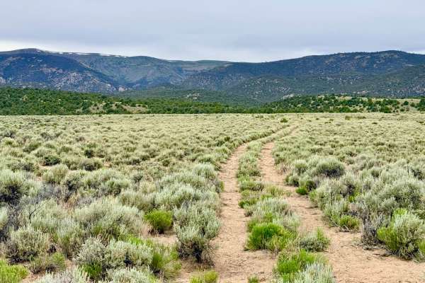
South Sawmill Creek is an evocative out-and-back journey that explores the southern segment of what was historically a continuous mountain loop. Much like the northern section, nature has reclaimed the center of this route, leaving behind a secluded motorized trail that carries explorers from the vast sagebrush flats into the higher-altitude pinyon-juniper forest. The drive is visually engaging, offering a classic Nevada "Sky Island" transition as you move from low-growing desert scrub to fragrant mountain timber. The trail currently functions as a natural drainage for the surrounding hillsides, resulting in sustained off-camber sections that alternate between the driver and passenger sides. You will navigate several small washouts where the water has cut across the track, requiring careful tire placement. The motorized route terminates near the creek bed at a small, rustic campsite featuring a weathered fire ring. This area serves as a secluded staging point for the Sawmill Creek hiking trail. The final descent into the camping/parking area is the technical crux of the trail: a steep, lopsided drop into the trees that will test your vehicle's stability and clearance. The trail is completely overgrown and impassable beyond the campsite. Do not attempt to push a full-size vehicle through the riverbed overgrowth. Expect zero cell service for the duration of this trail. The foothills create a total signal shadow. Download offline maps before leaving the Tonopah or Highway 376 area.
Difficulty
Rated a 3 due to the sustained off-camber "drainage" segments and the steep final drop into the trailhead. Precise throttle control is necessary to manage the lopsided terrain without sliding. The alternating off-camber sections and the final technical drop require the suspension travel and traction of a dedicated off-road vehicle. Narrow-body rigs will find the timber-lined segments much easier to manage.
History
The "Sawmill" name tethers this canyon to the industrial demands of the 1905 Manhattan Gold Rush. Canyons with standing timber were the "fuel stations" of the 20th century, providing the cordwood and mine supports that allowed the boomtowns to flourish. This southern trail likely originated as a hauling path for teamsters who worked these forests over a century ago. The fact that the loop has been reclaimed by nature is a vivid reminder of how quickly the Great Basin wilderness erases the footprints of industry once the work of man has ceased.