Trail Overview
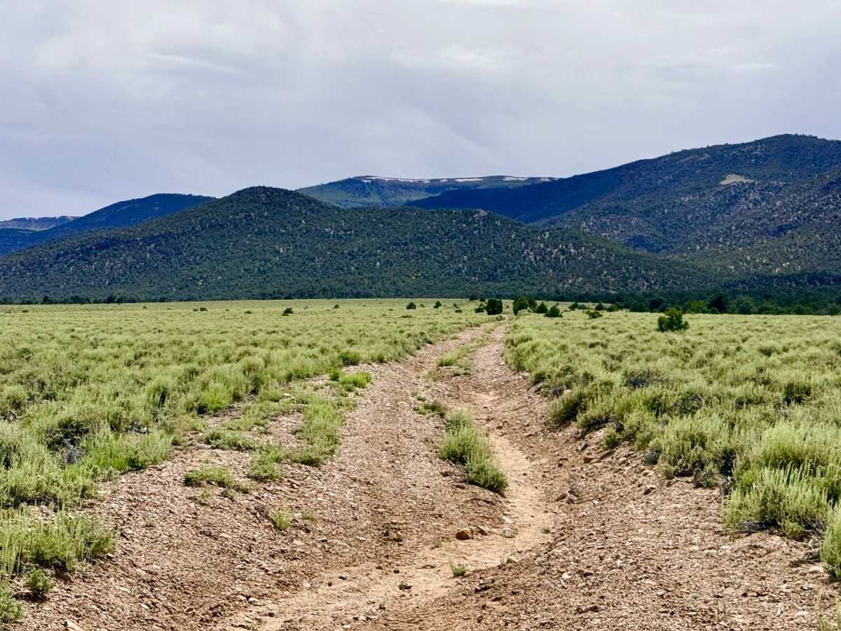
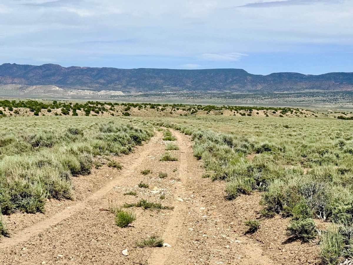
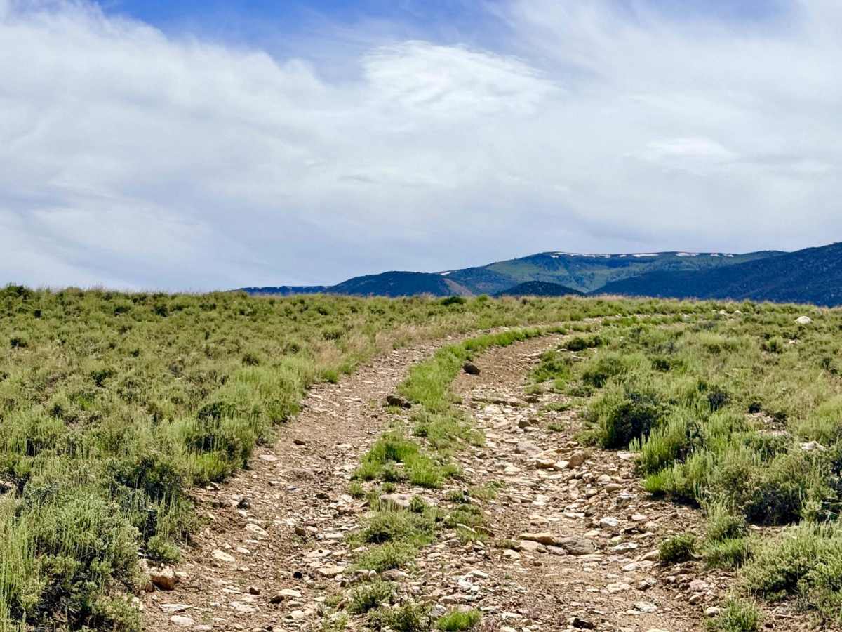
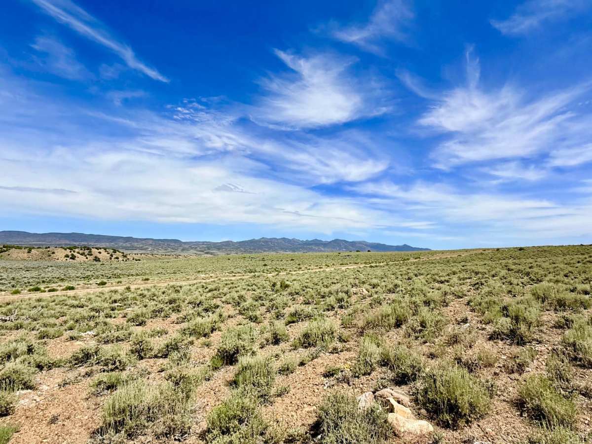
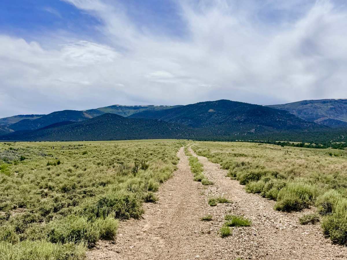
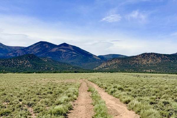
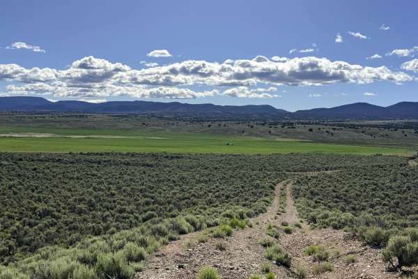
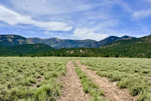
The Danville Canyon Cutoff is a dynamic diagonal track that serves as a vital technical link between the expansive sagebrush basins and the rugged South Danville Creek Road. This "little jaunt" across the desert floor is far from a simple flat transit, because the area serves as a significant natural drainage for the higher peaks, and the trail has been extensively reshaped by water. Drivers will navigate a series of washouts and sustained off-camber sections. Because this trail acts as a primary drainage corridor, it should be avoided during rain or spring snowmelt. The flex sections can quickly turn into active water channels or deep, sticky mud traps.
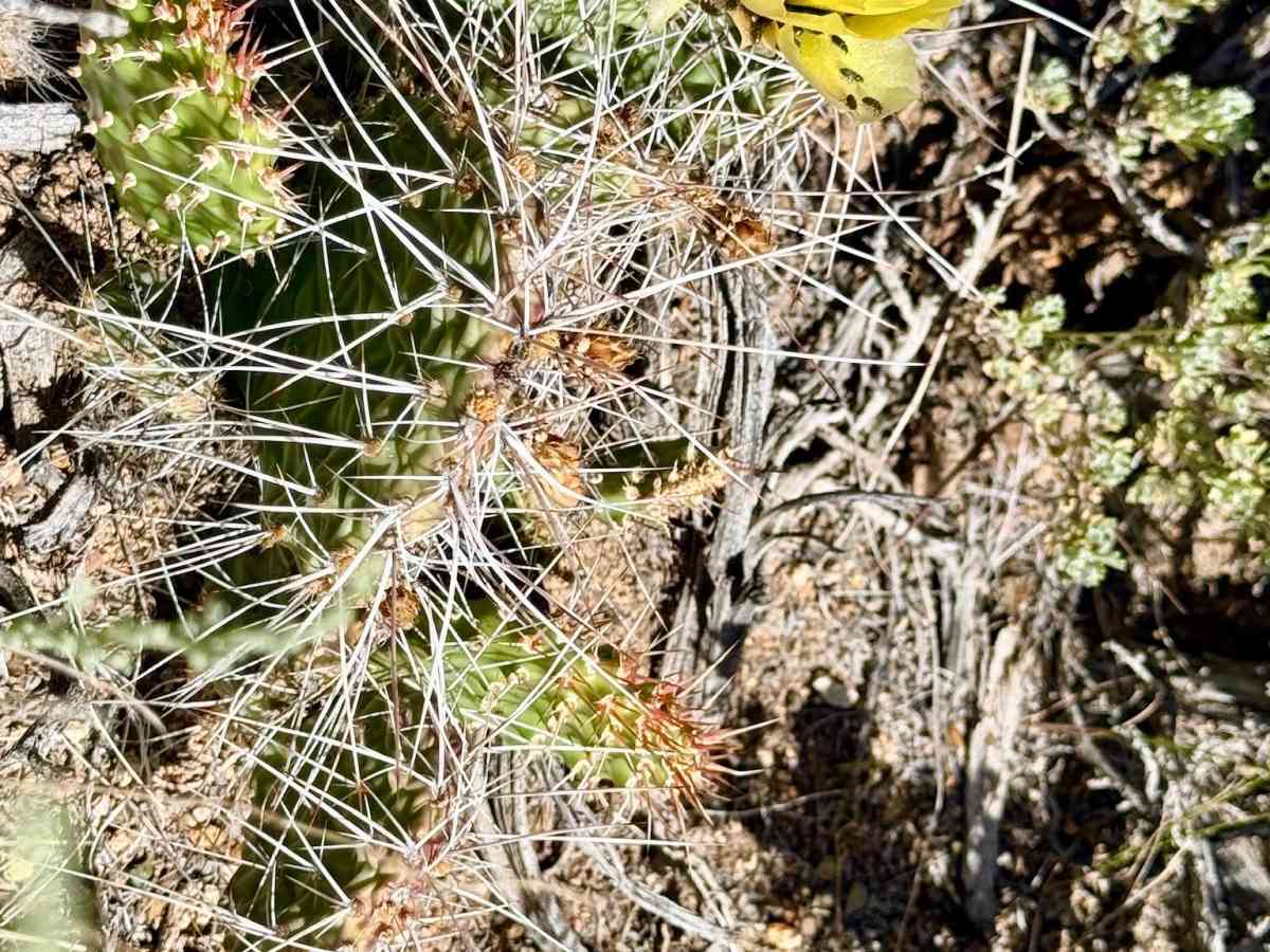
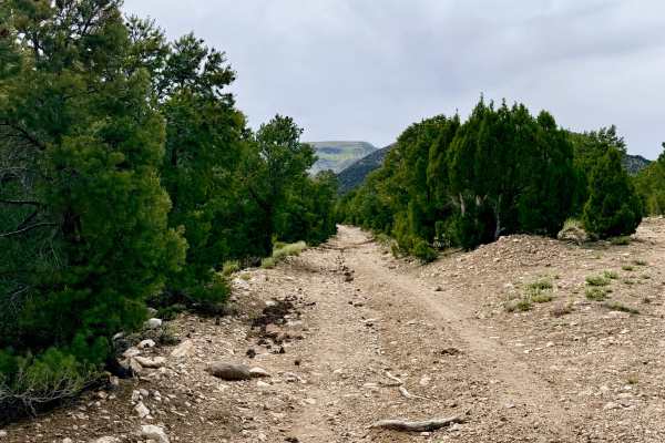
The landscape is a vibrant example of the Great Basin’s seasonal beauty. In the springtime, the trail is adorned with a variety of desert plants in bloom. As the route pushes out of the open plains and into the foothills, the environment shifts into a denser canopy of Pinyon Pine and Utah Juniper. Here, the trail narrows considerably as the untamed wilderness begins to reclaim the track. This is prime territory for Pronghorn Antelope, which are frequently seen racing across the lower flats near the trail entrance. Expect zero cell service for the duration of this trail. The foothills and ridges create a total signal dead zone. Download offline maps before leaving the Tonopah or Highway 376 area.
History
The Danville Canyon area is steeped in the lore of the 1866 Danville silver strike. While the town of Danville was never as large as Tonopah, it was a vital high-altitude mining camp that relied on these very foothill corridors for its survival. This cutoff likely follows the original diagonal paths used by 19th-century teamsters and "wood hawks" who sought the most efficient way to haul mountain timber down to the valley freight lines.